Photos of the Property Formerly Known as the Westinghouse R&D Campus
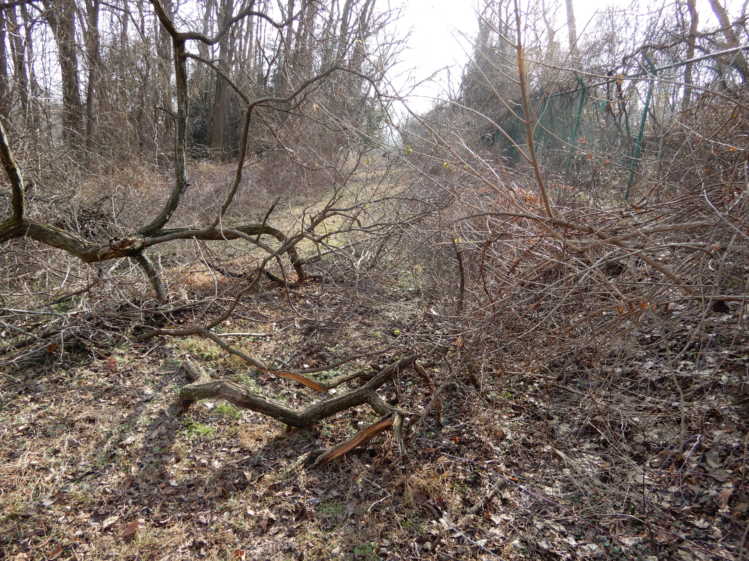
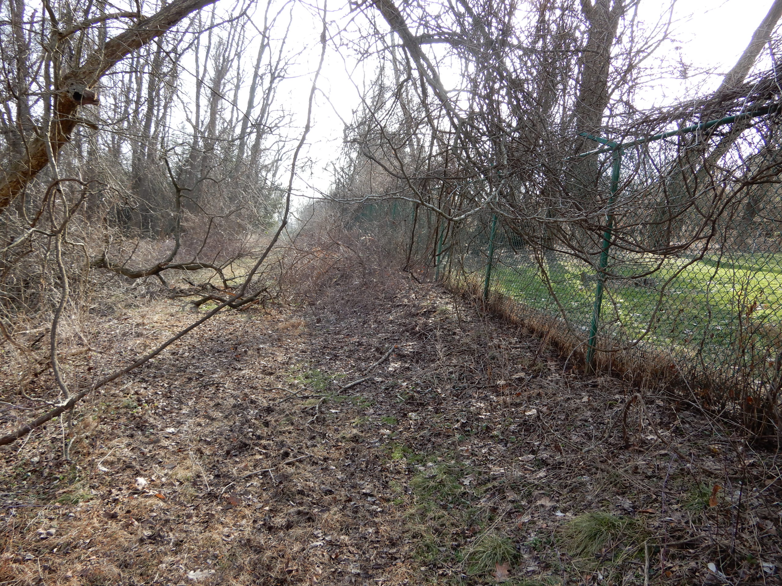
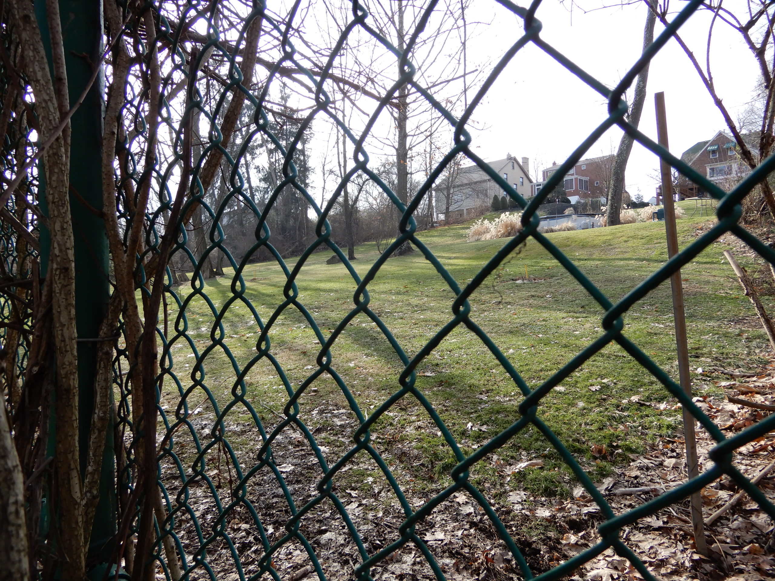
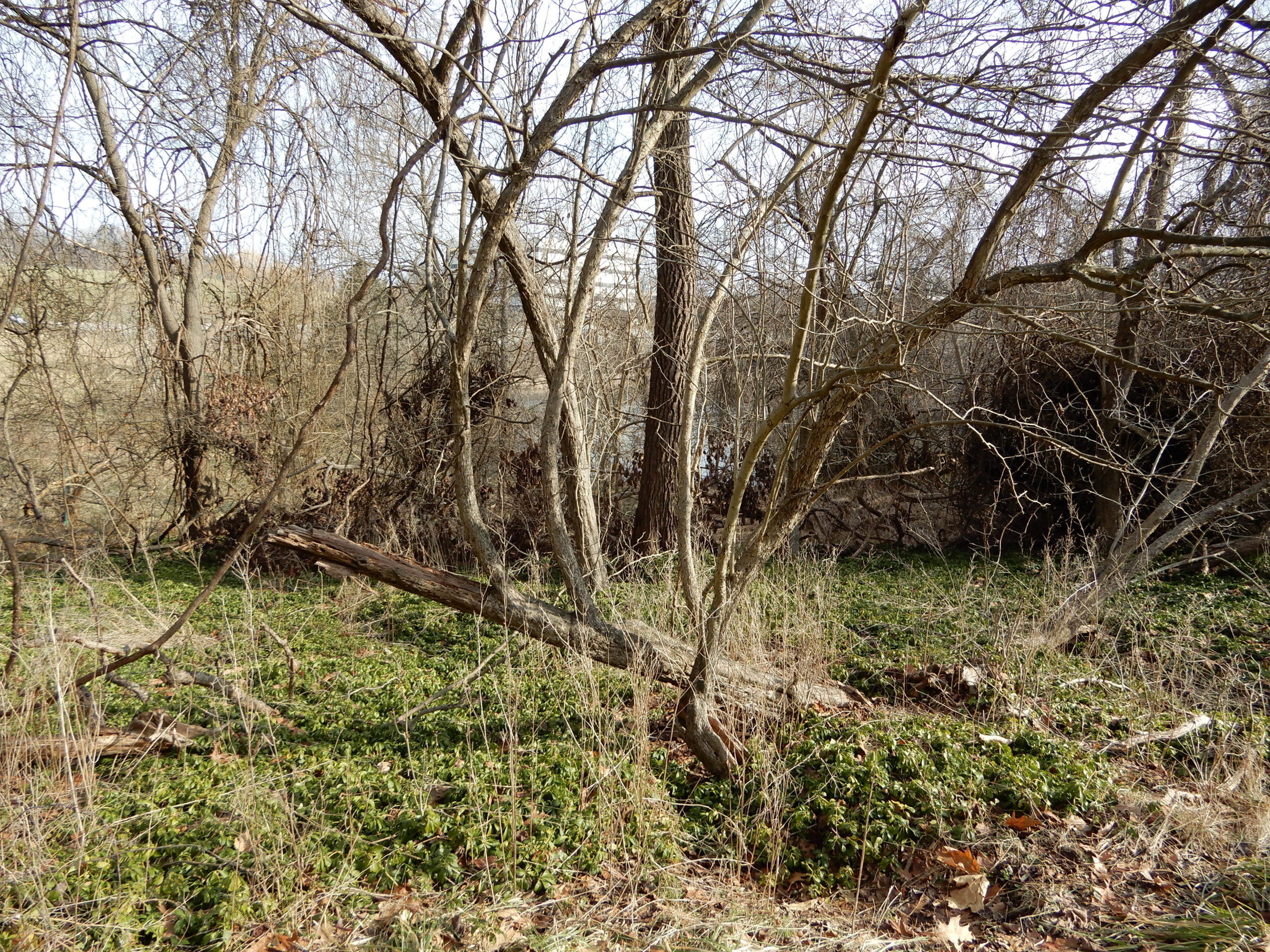
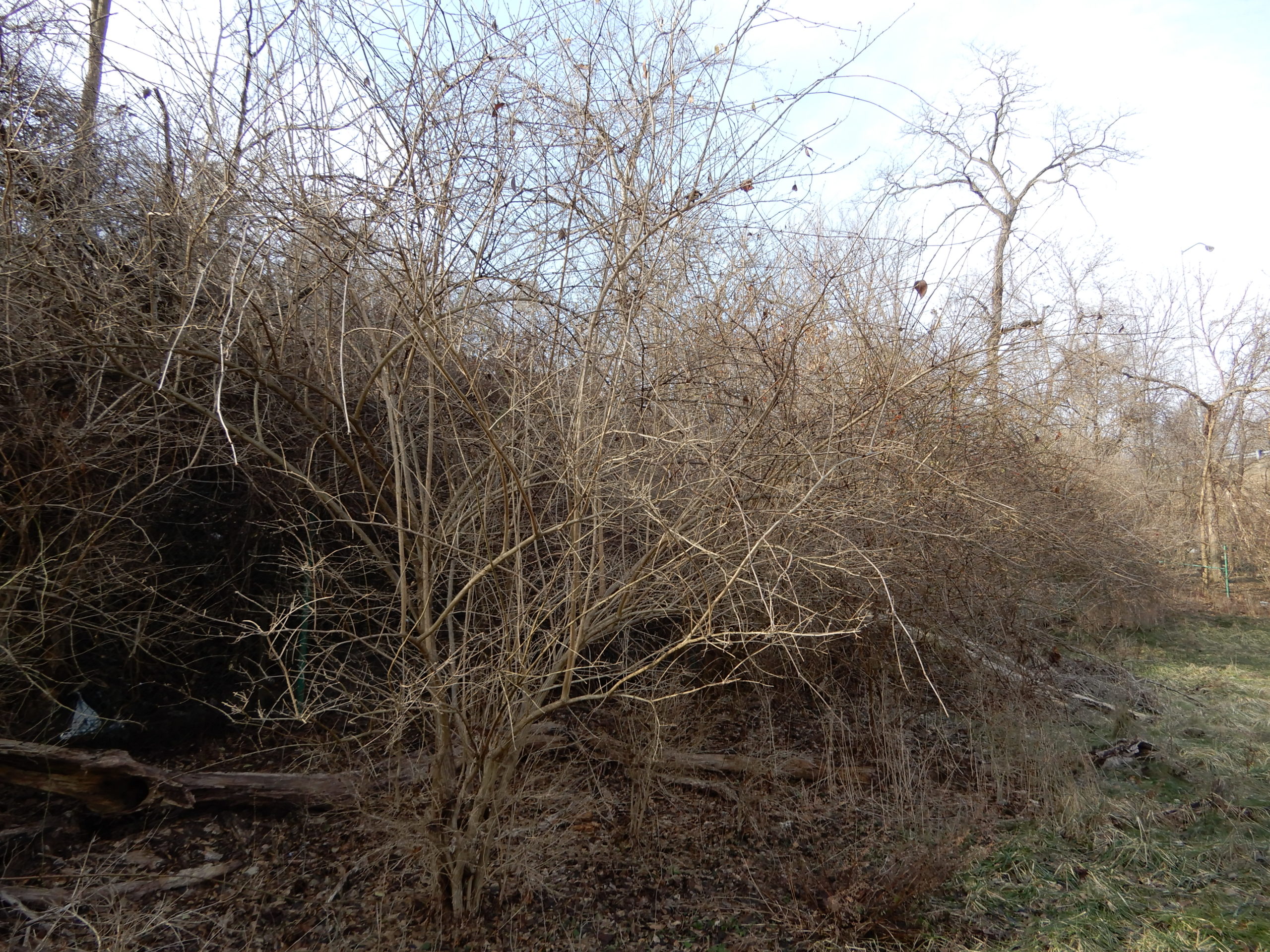
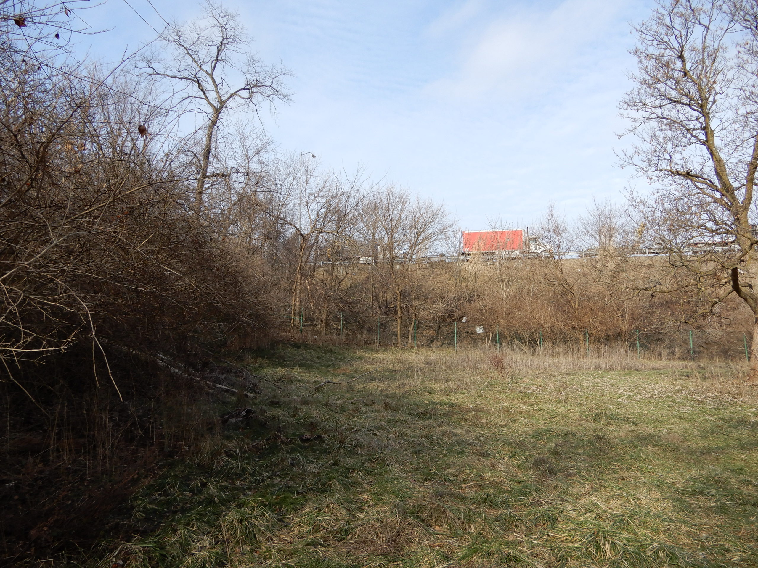
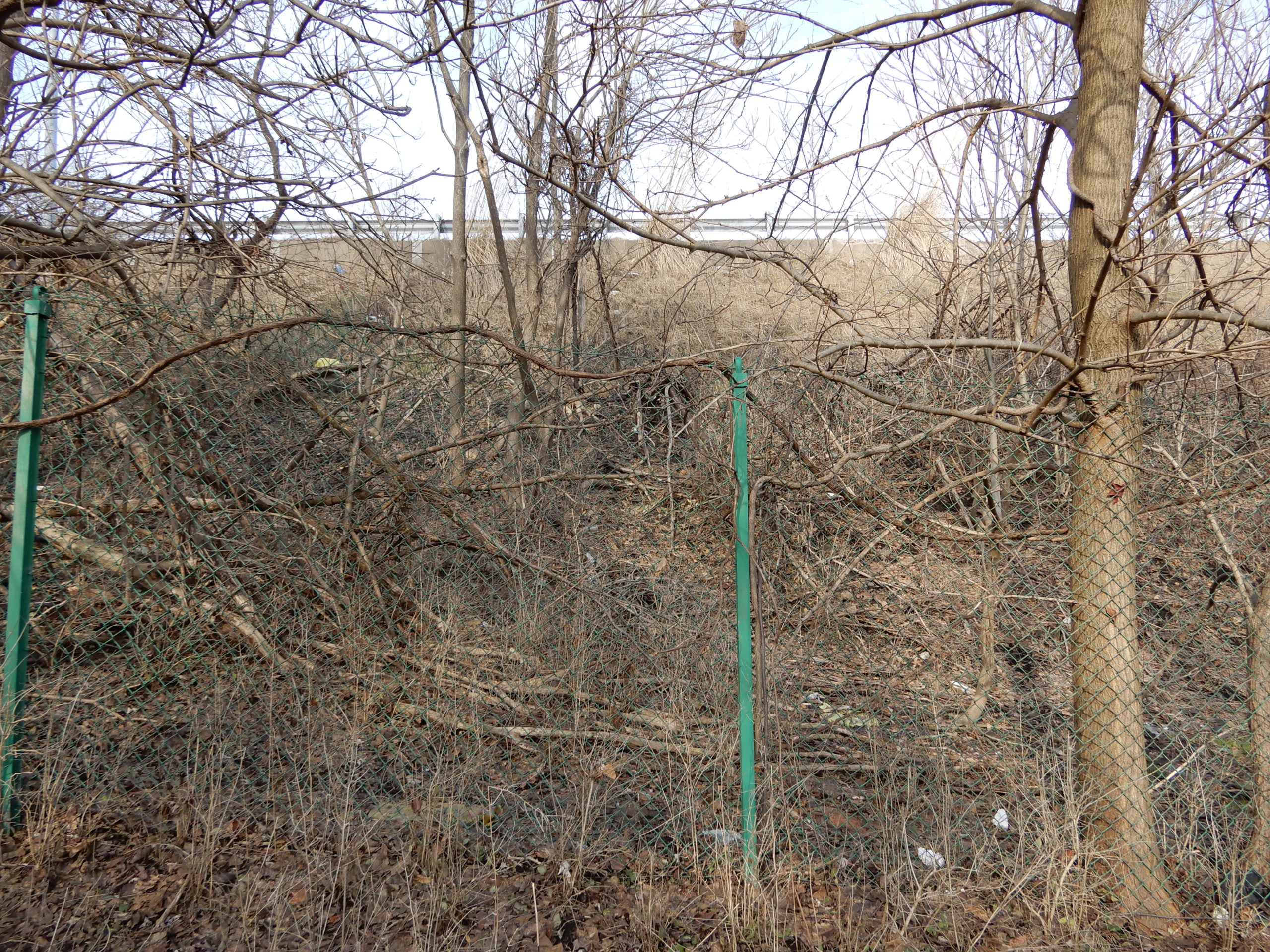
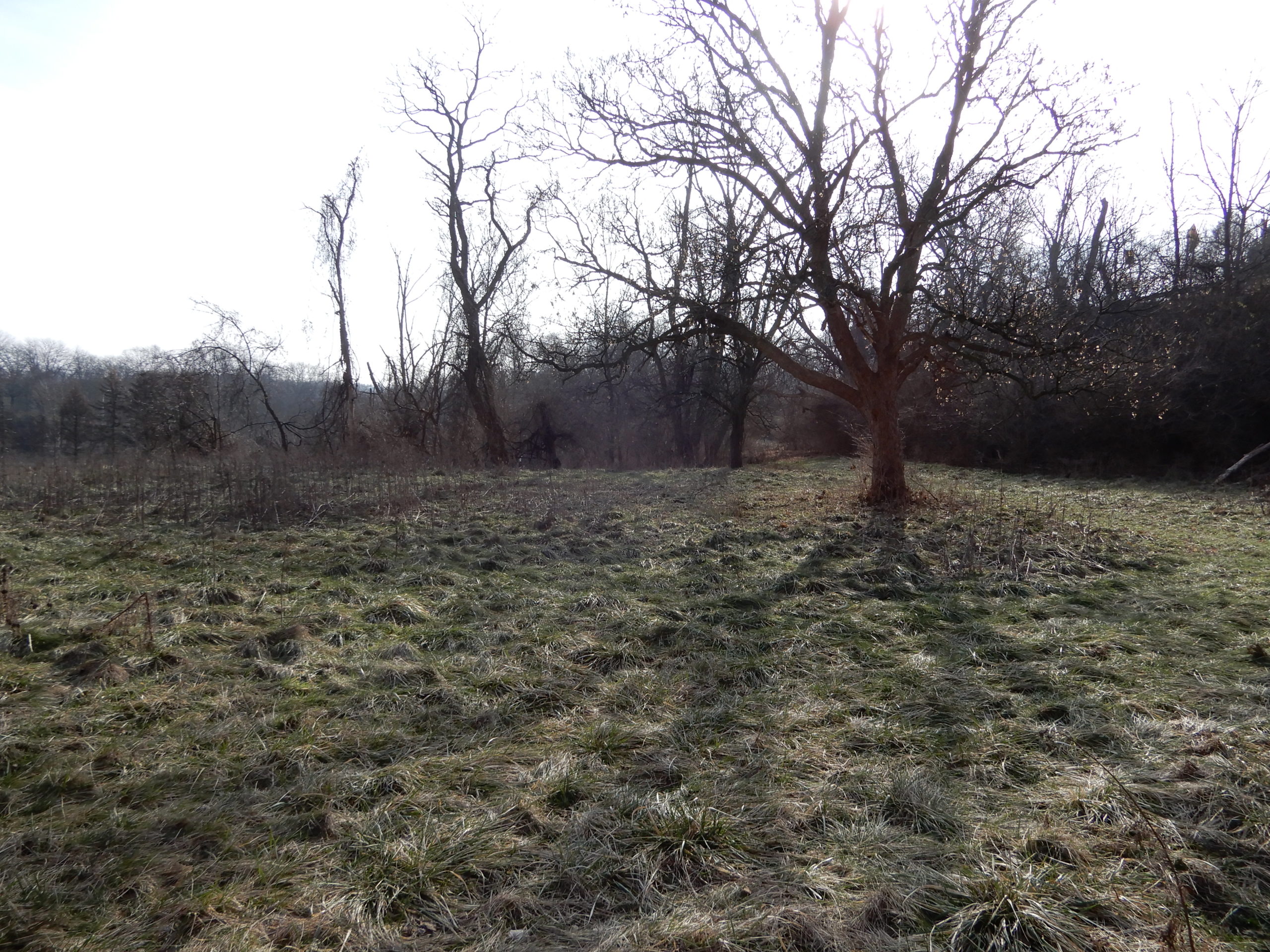
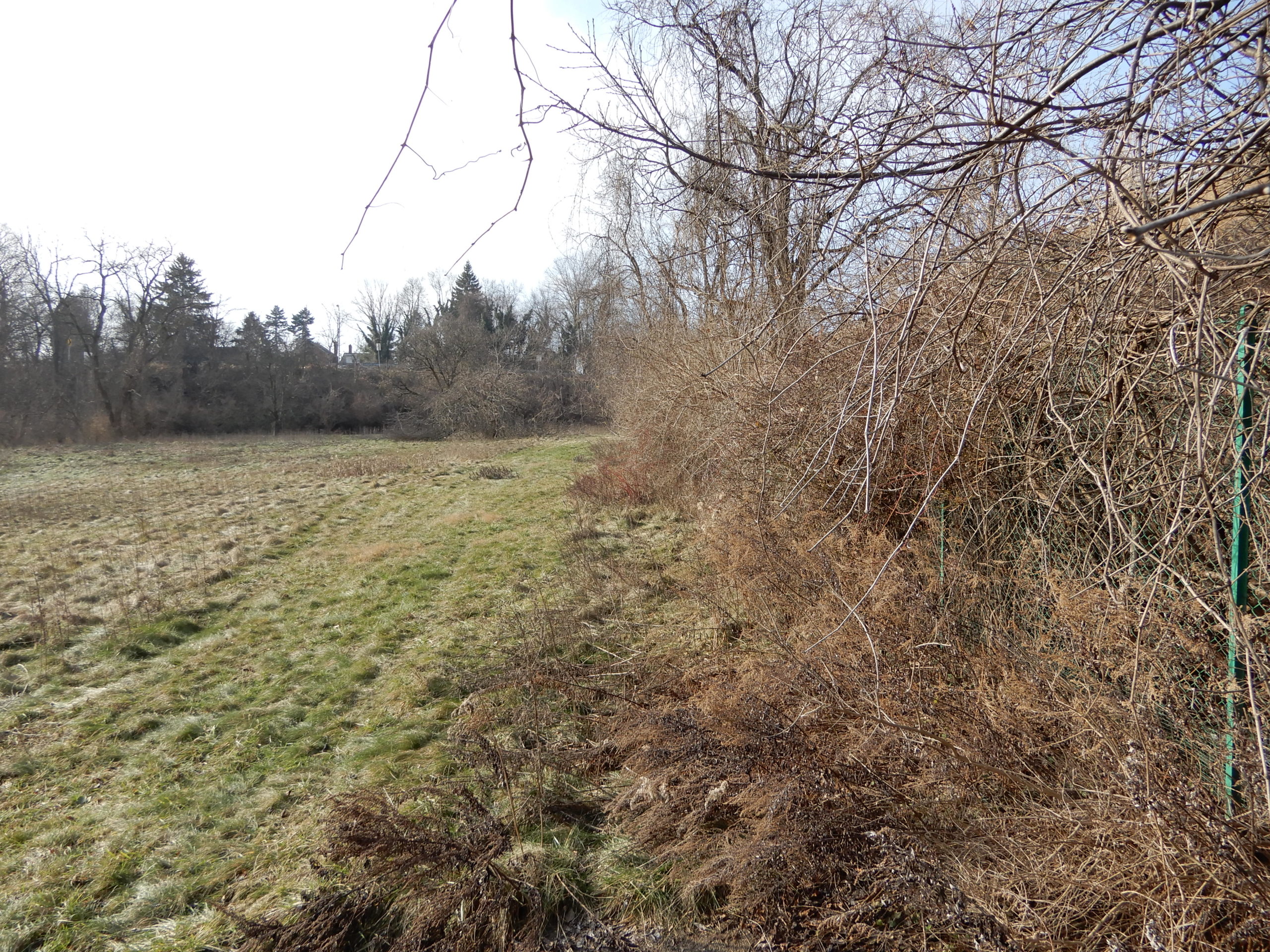
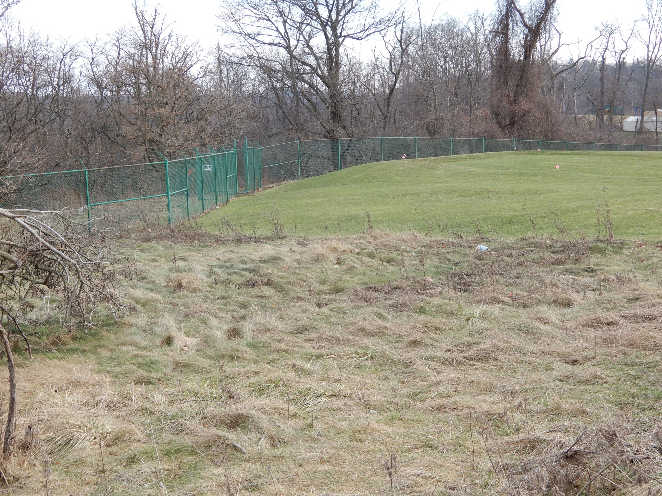
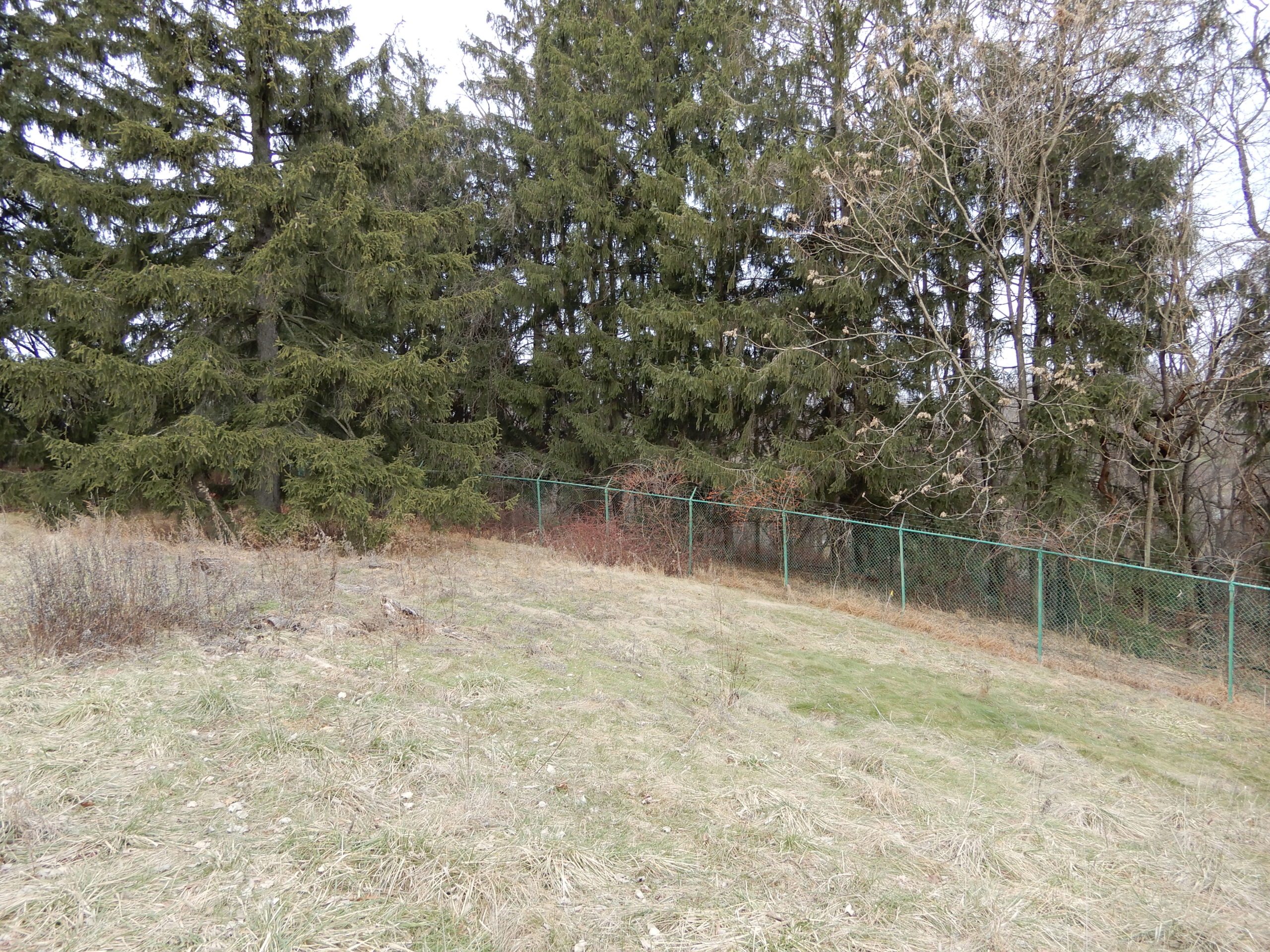
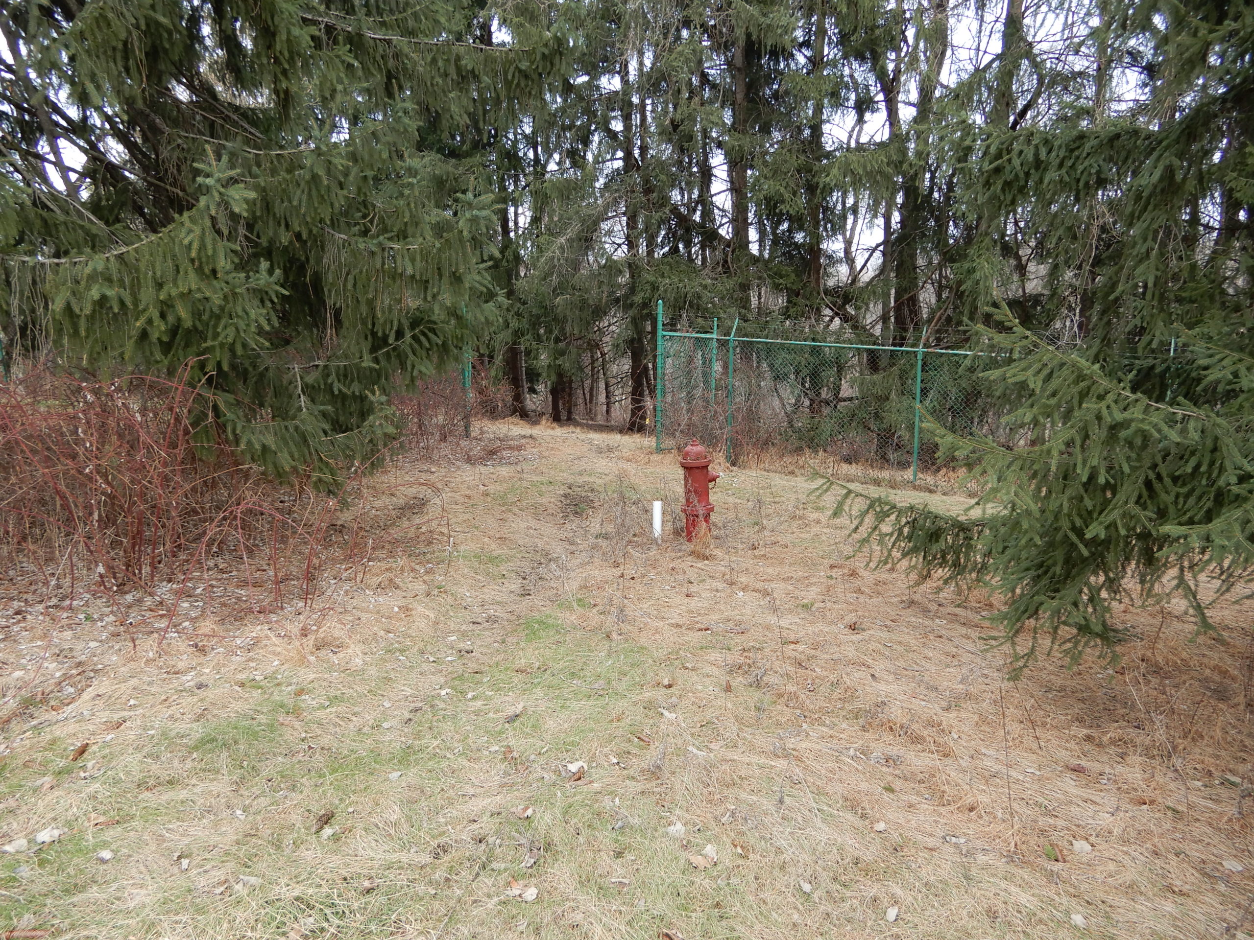
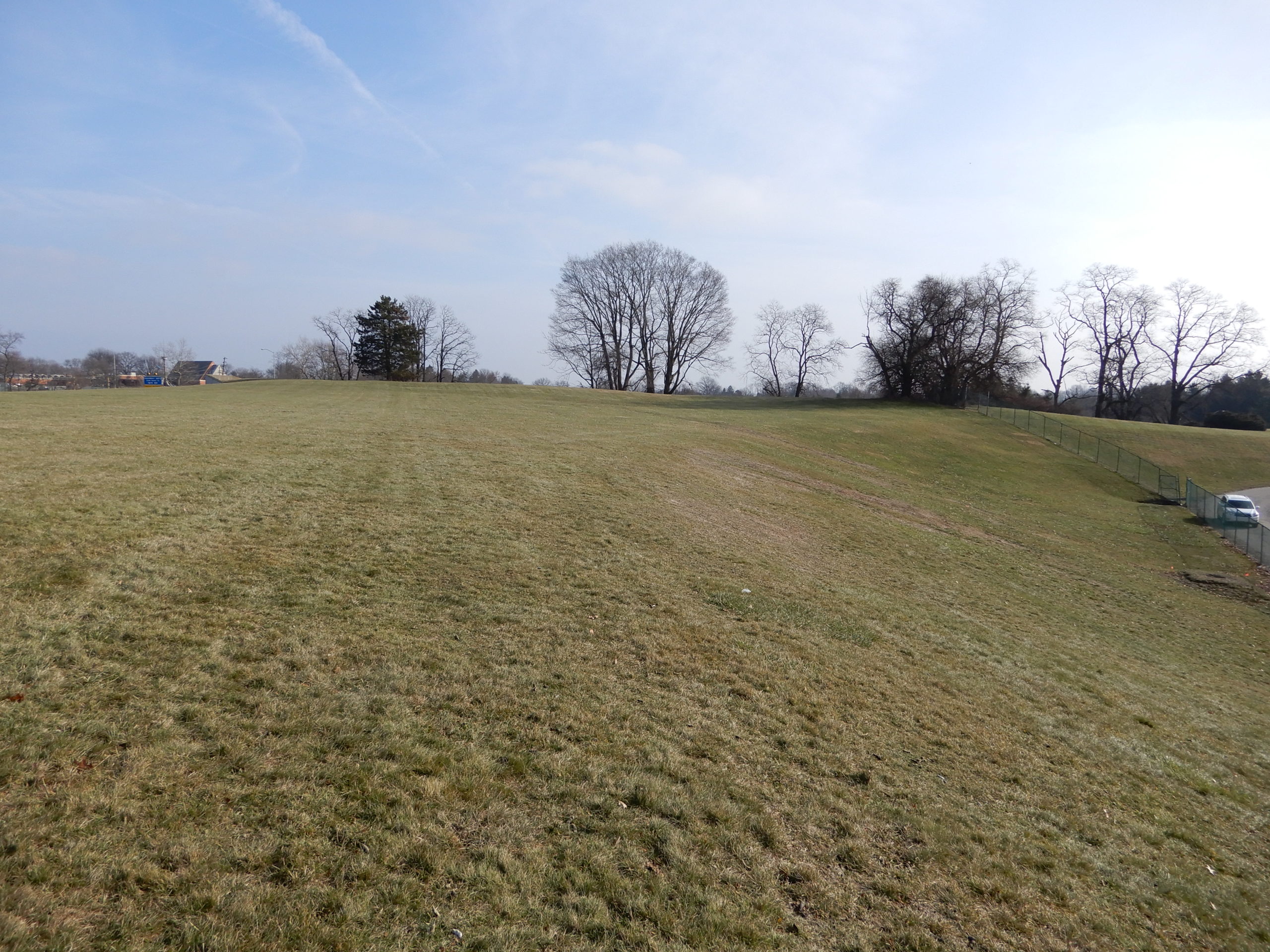
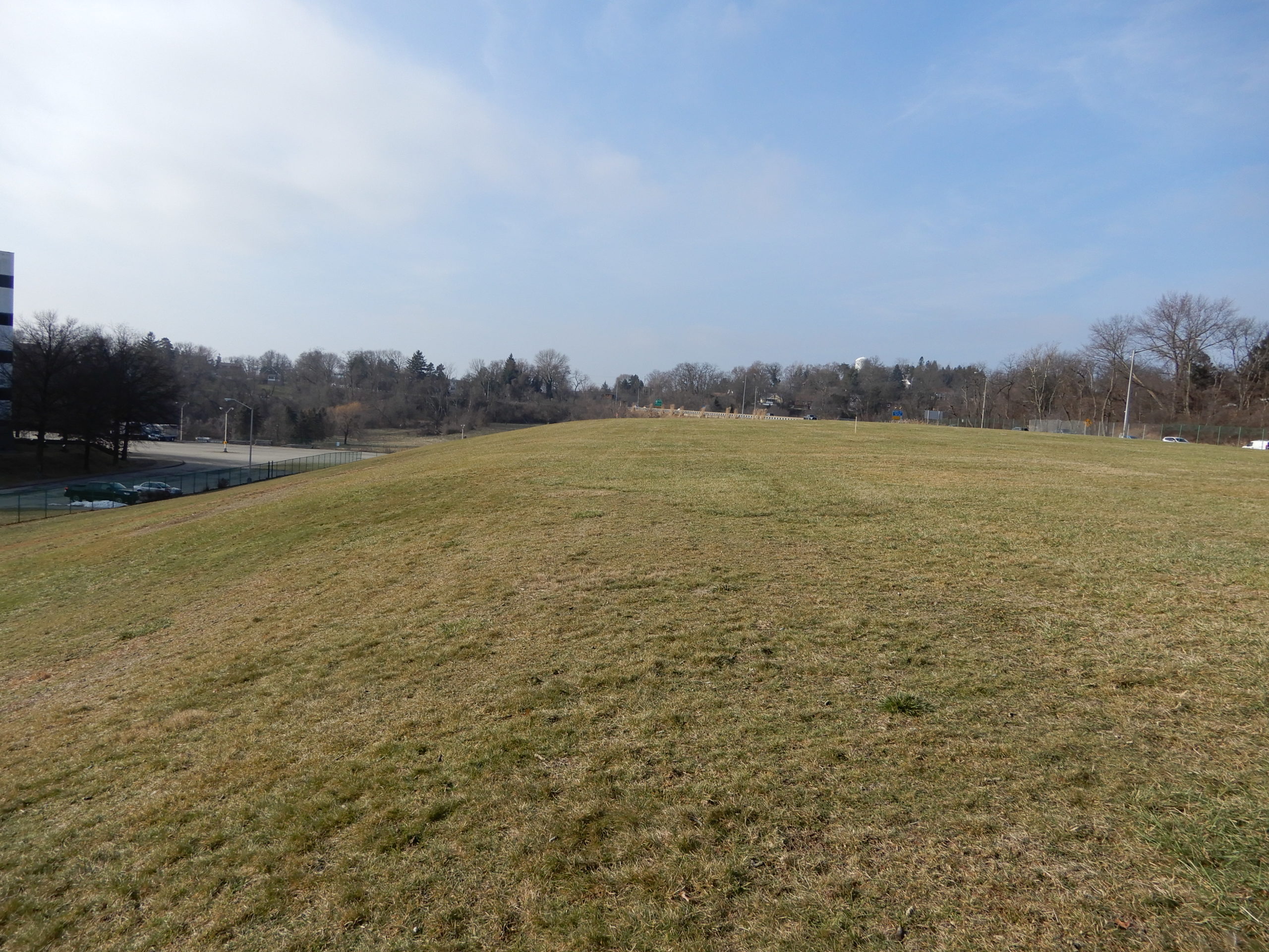
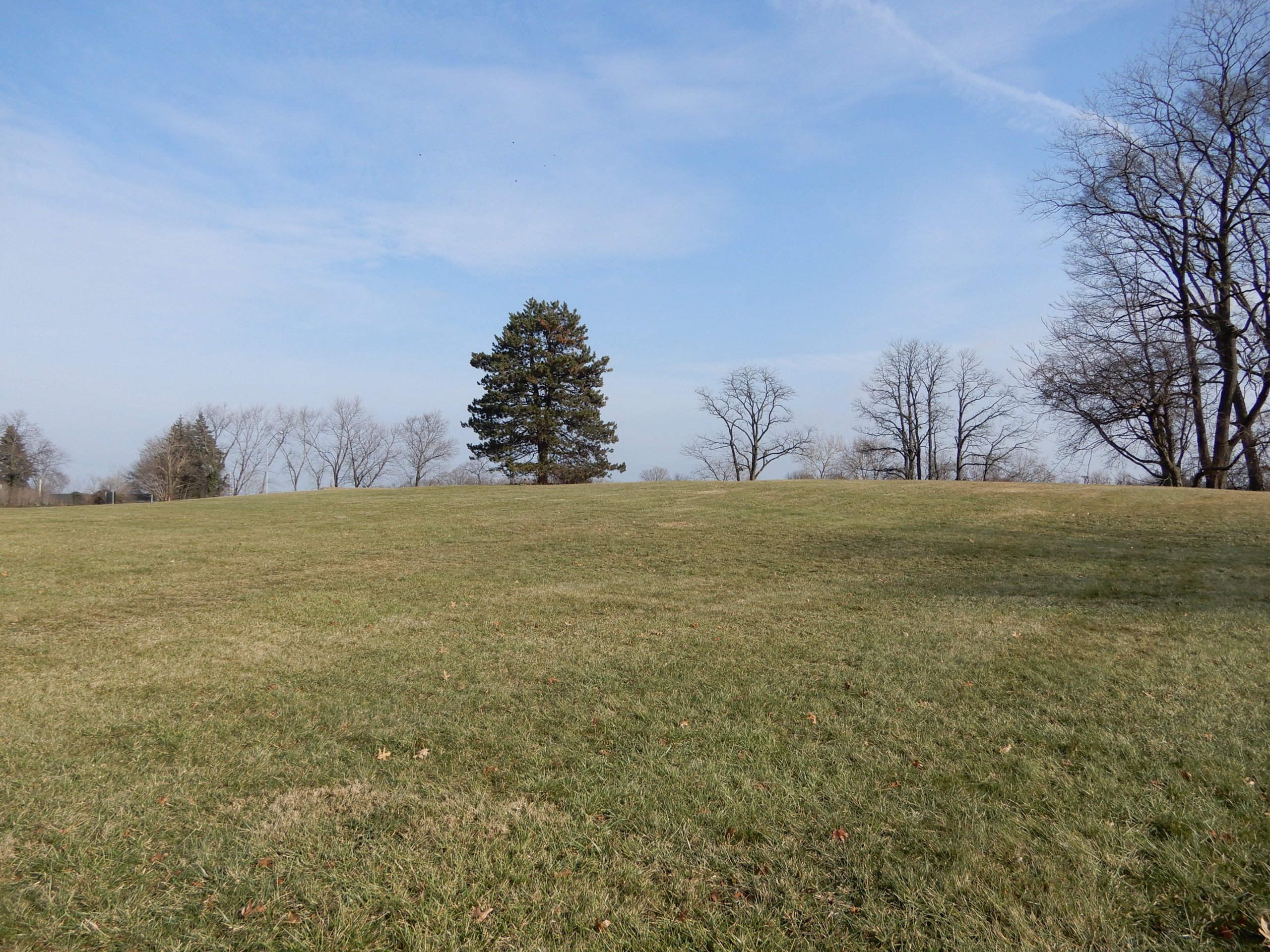
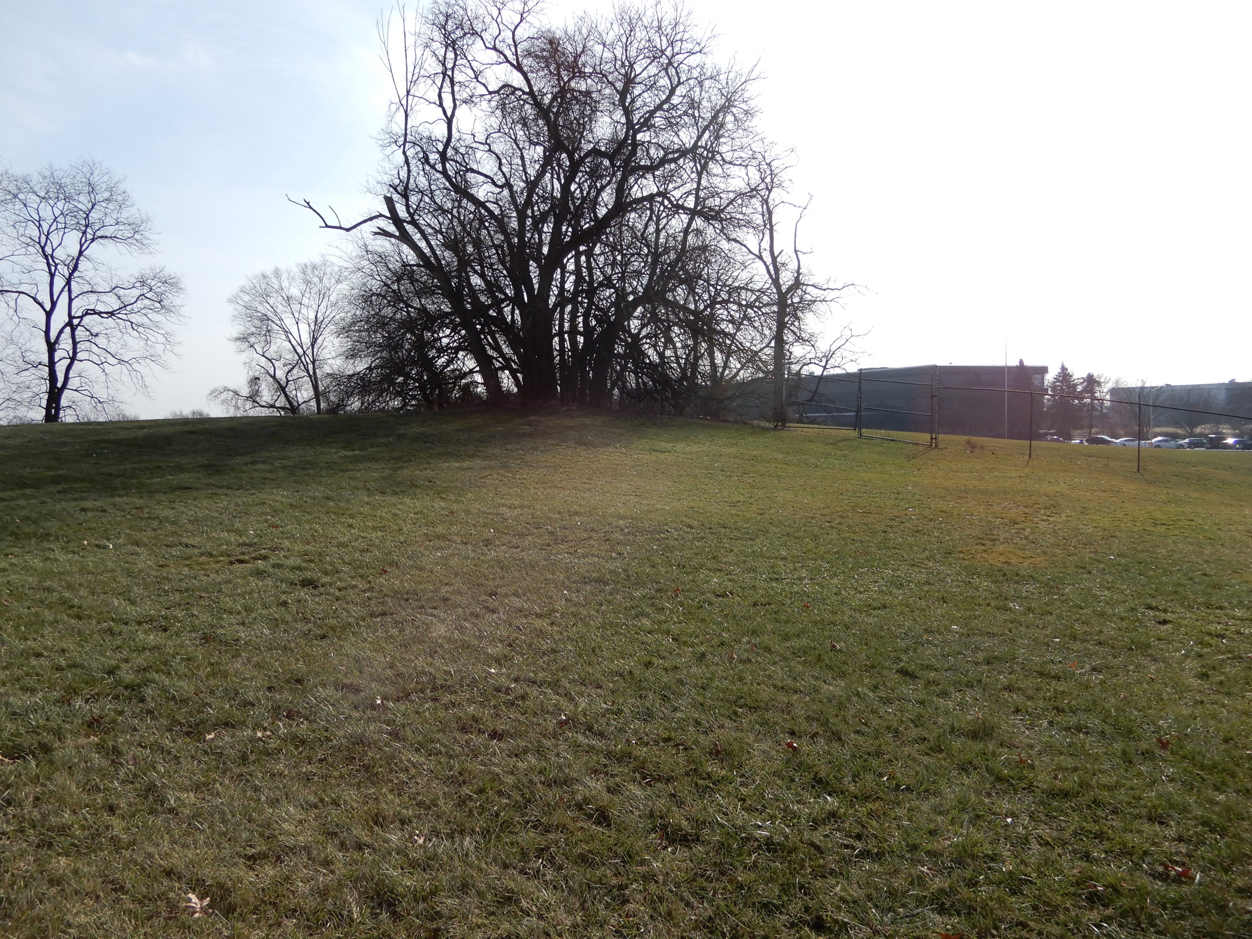
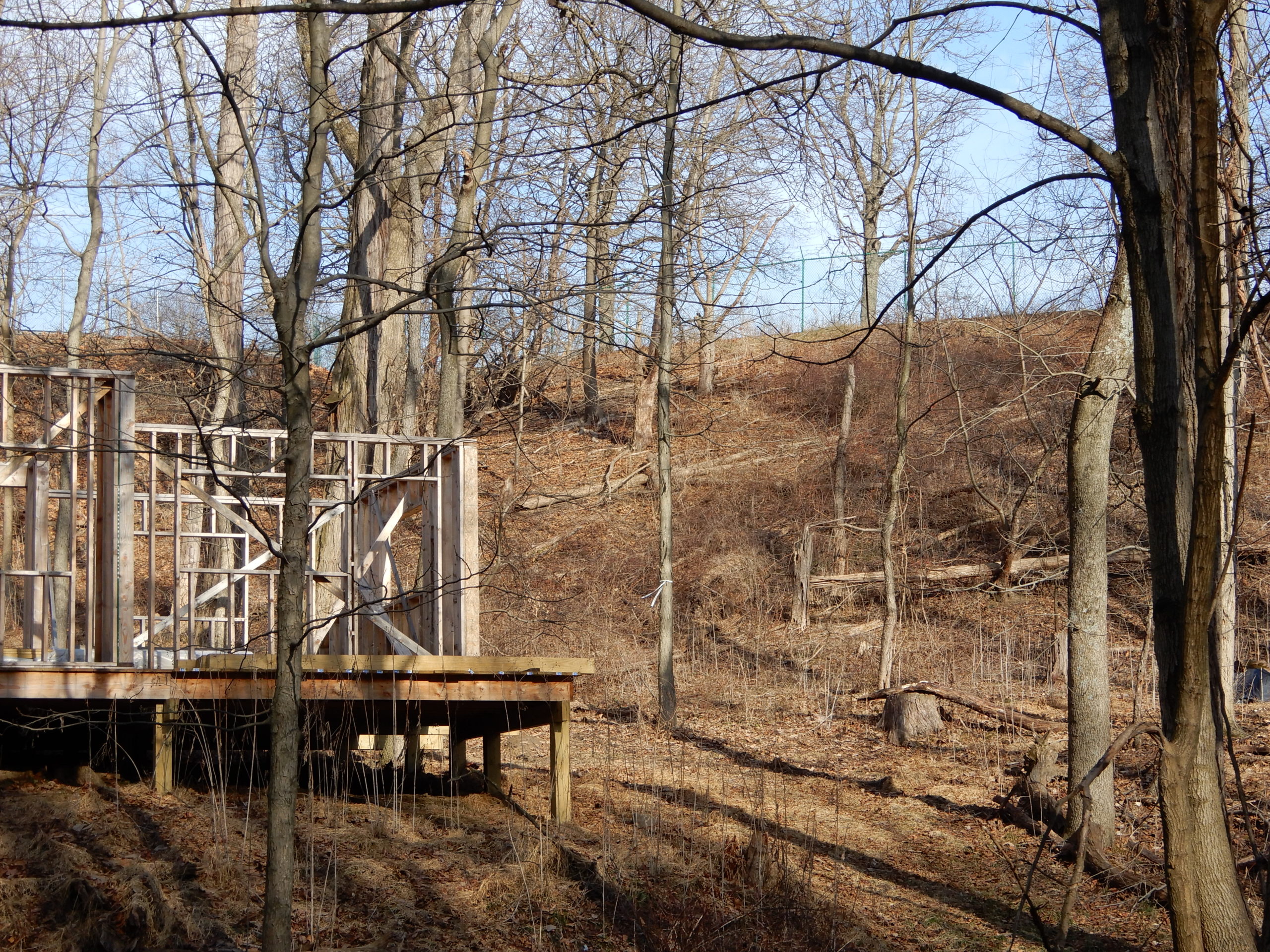
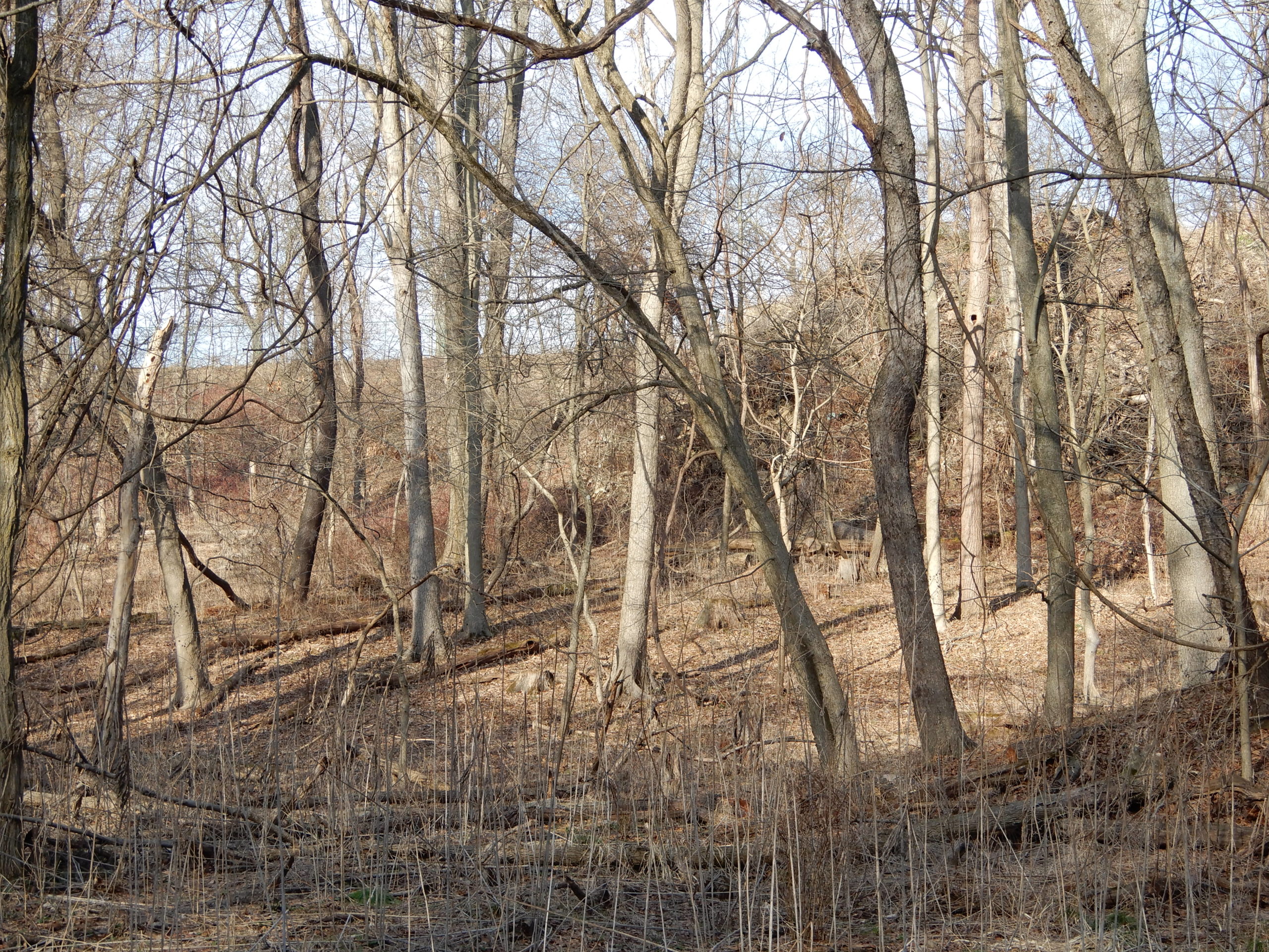
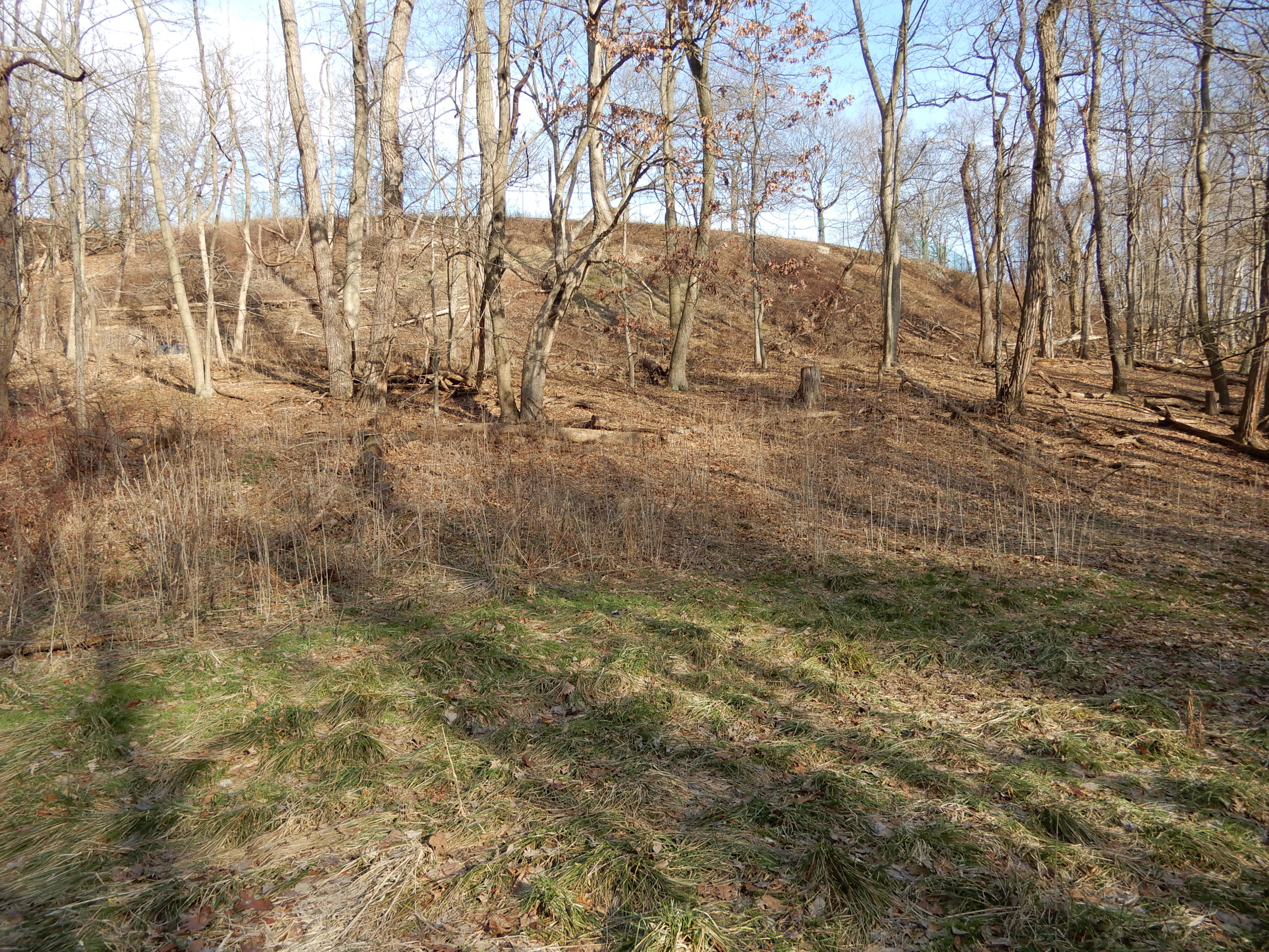
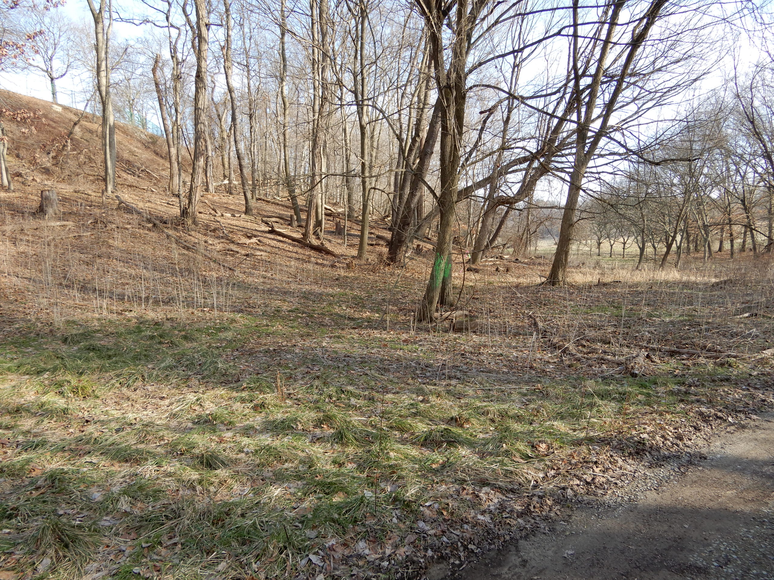
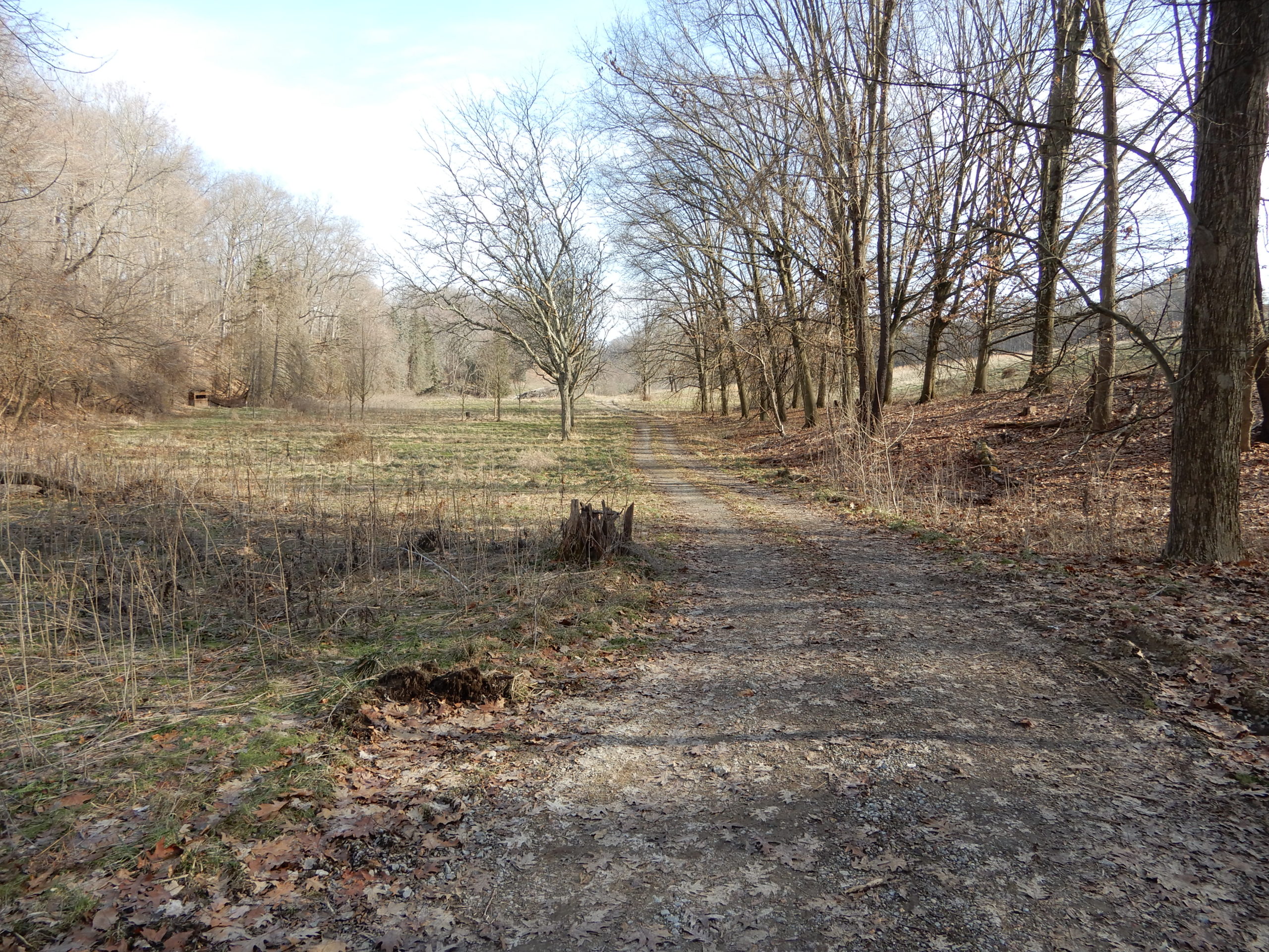
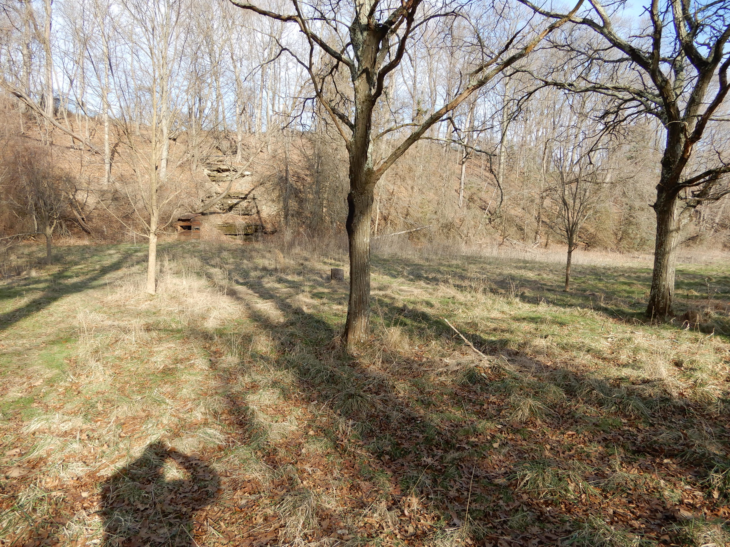
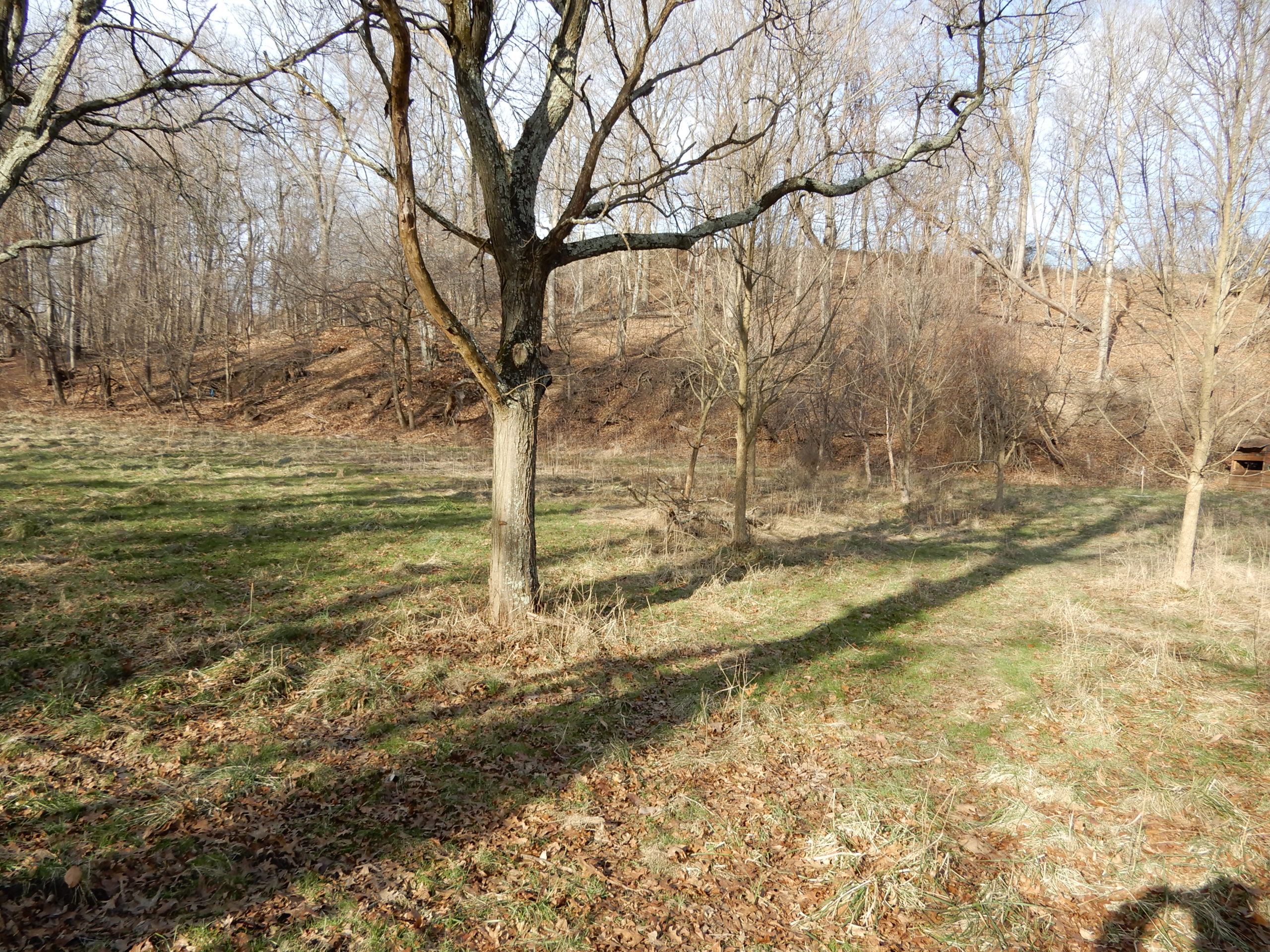
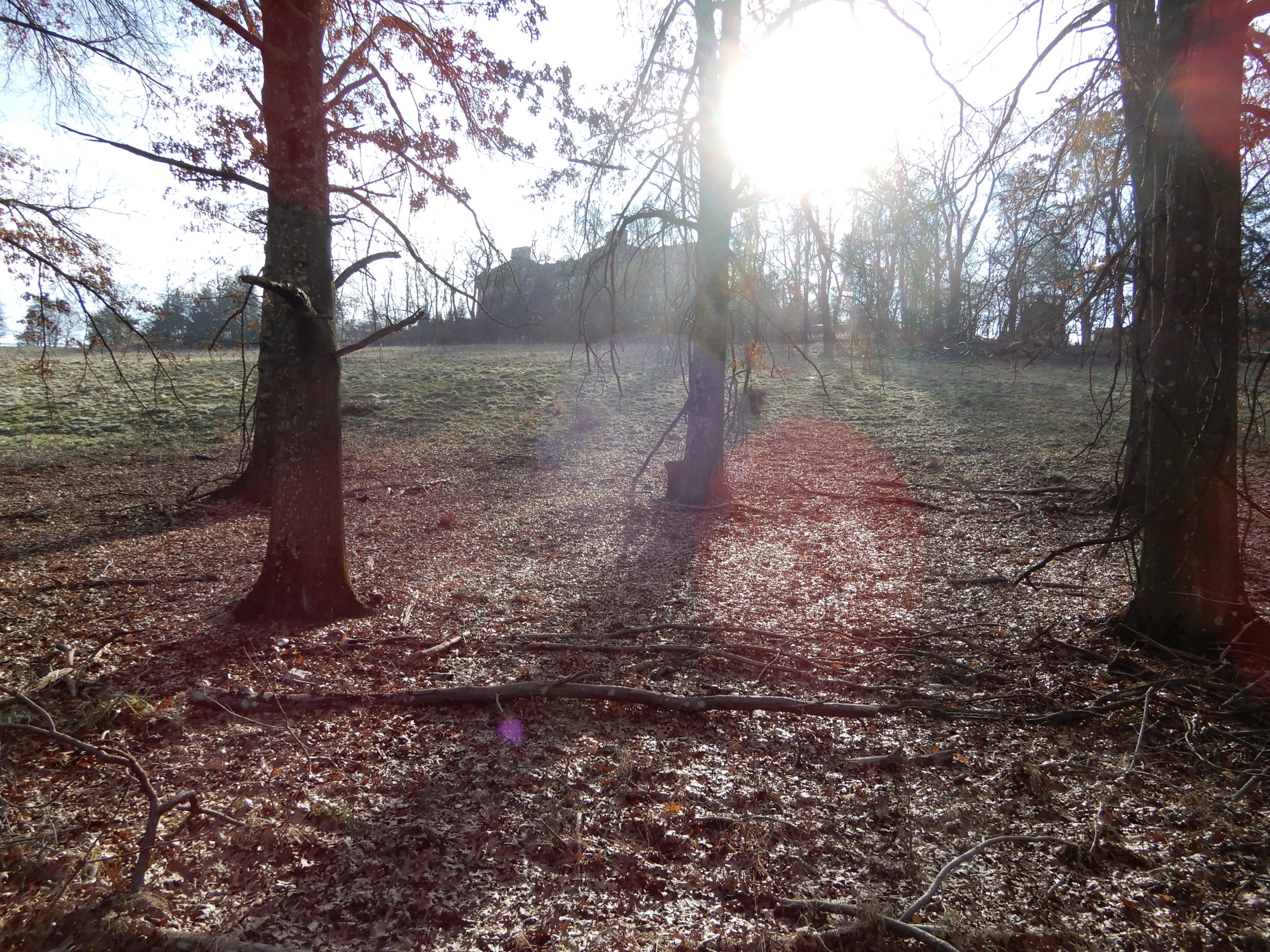
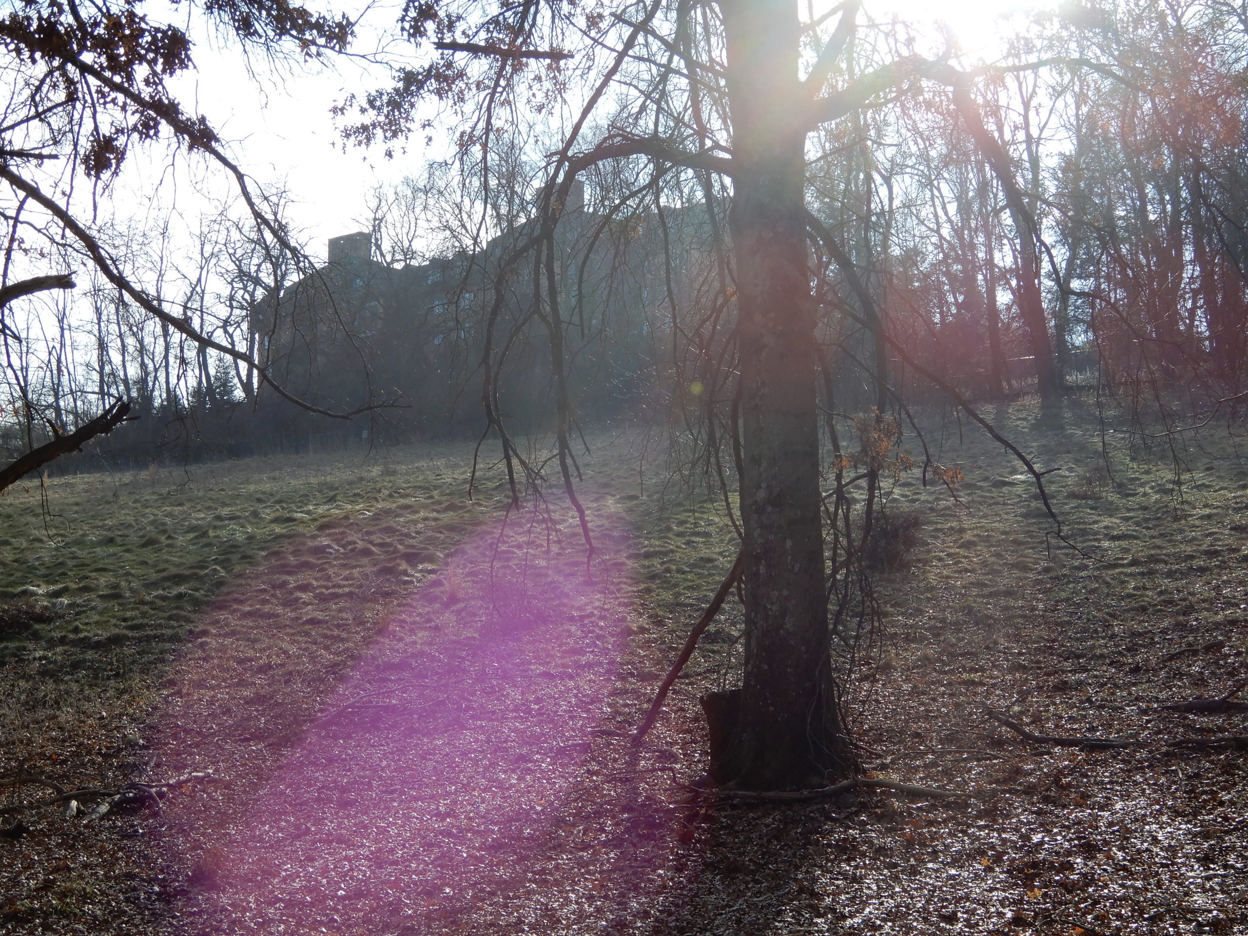
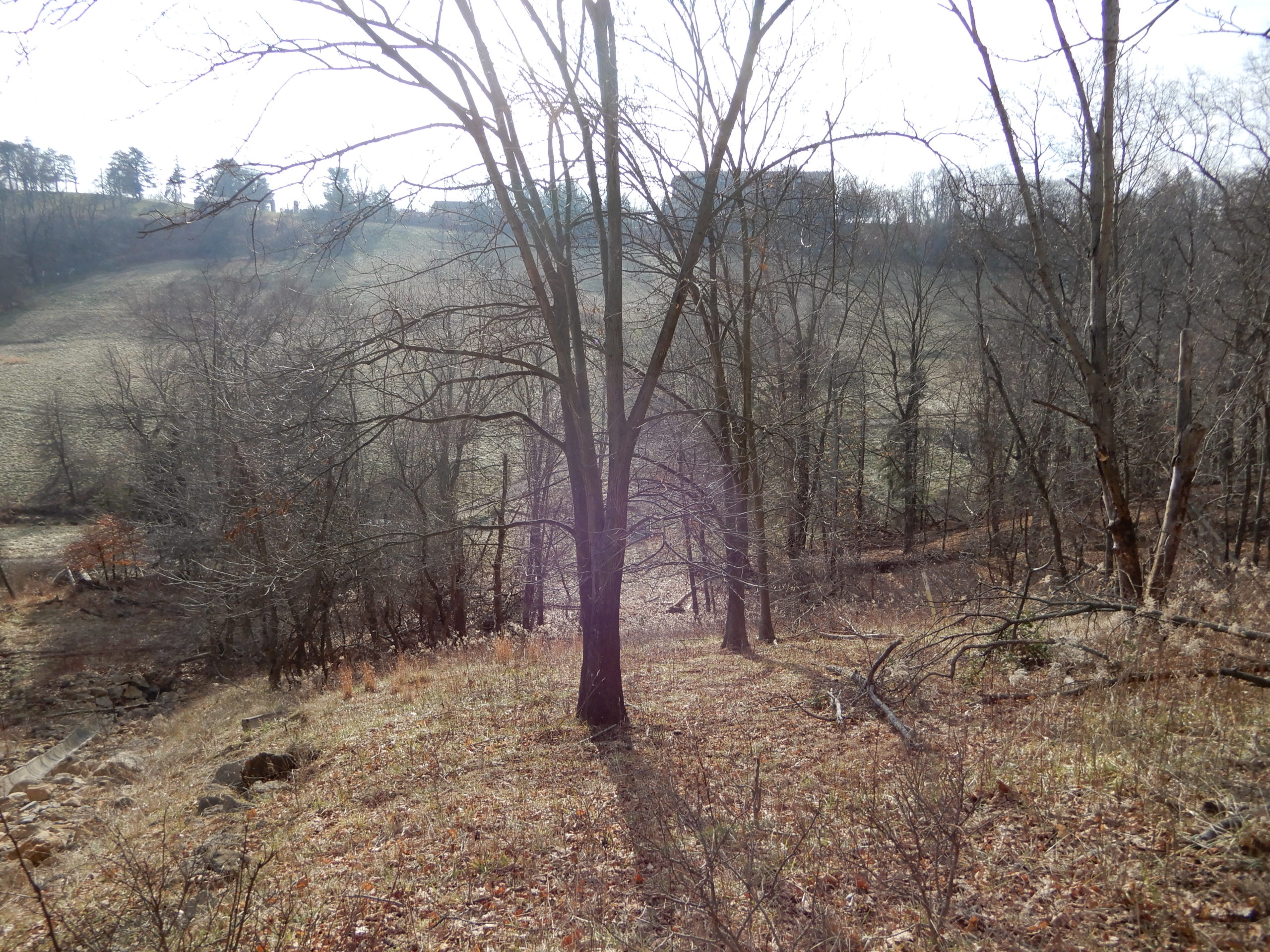
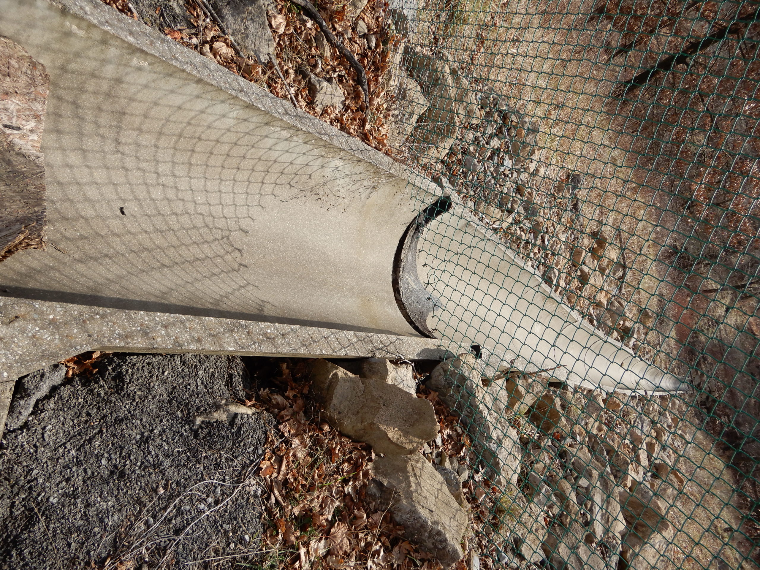
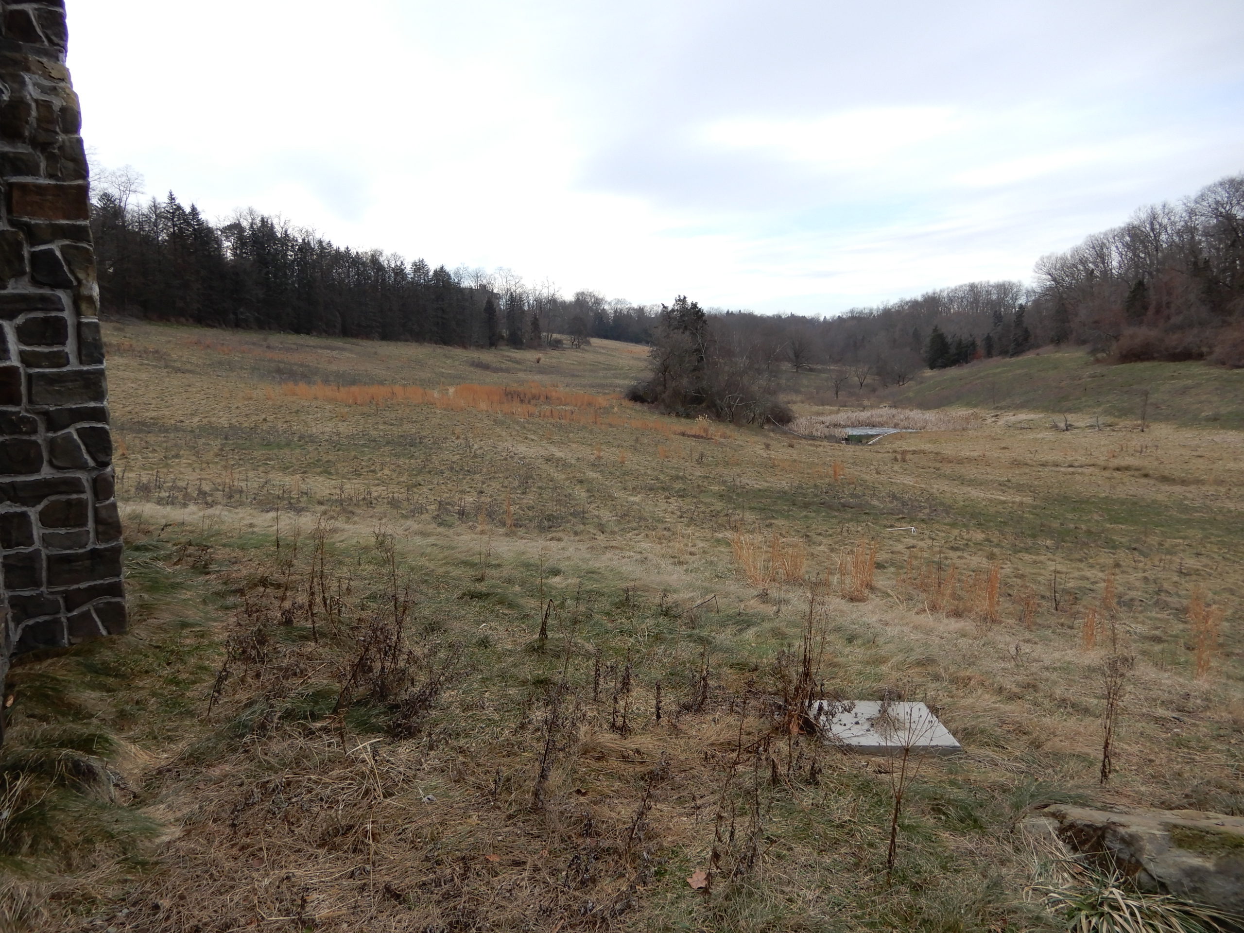
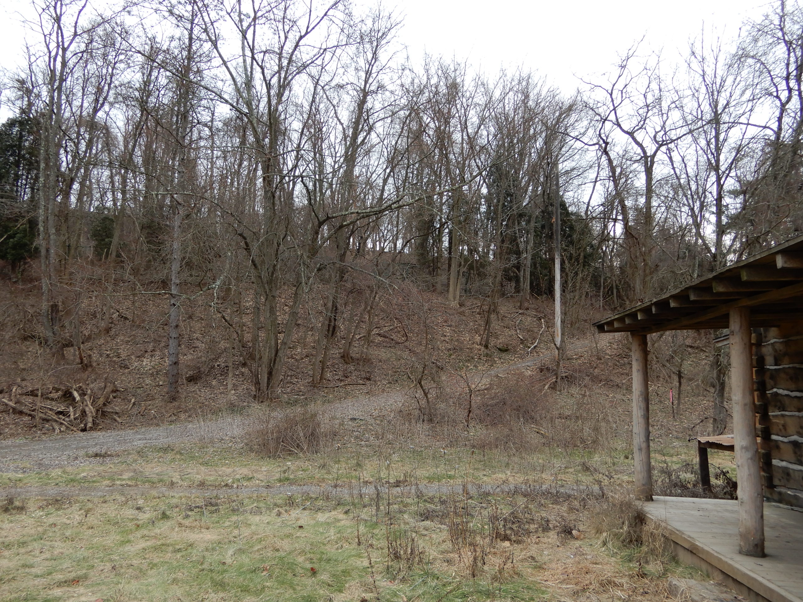
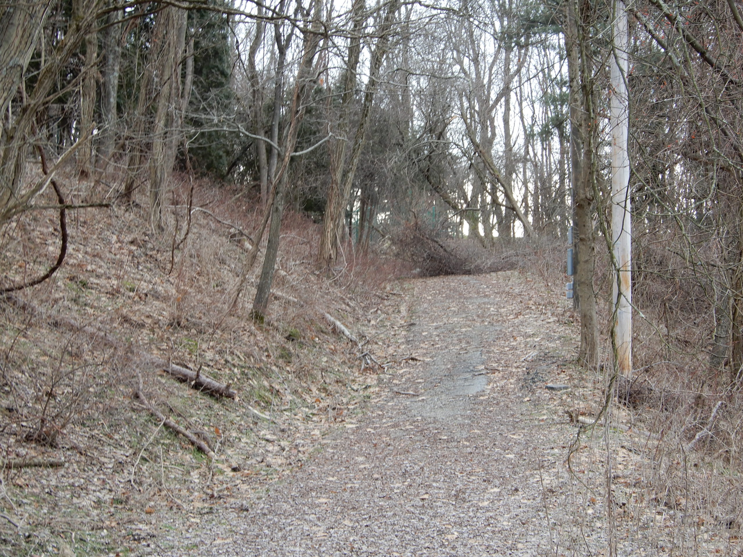
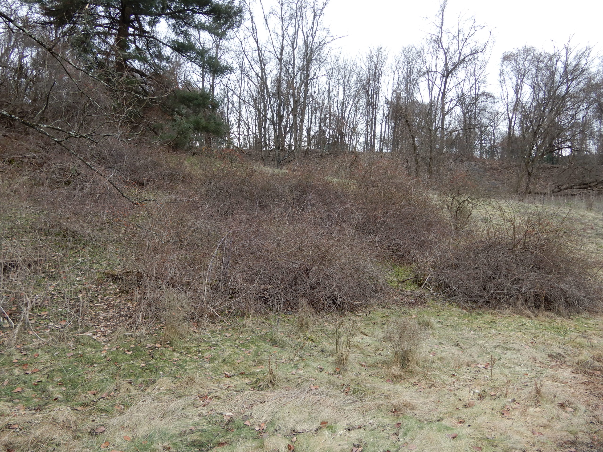
Here are photos taken in December 2020 around the property formerly known as the Westinghouse R&D campus. I was only permitted outside of the buildings during the on-site visit, which is why there are no interior photos.
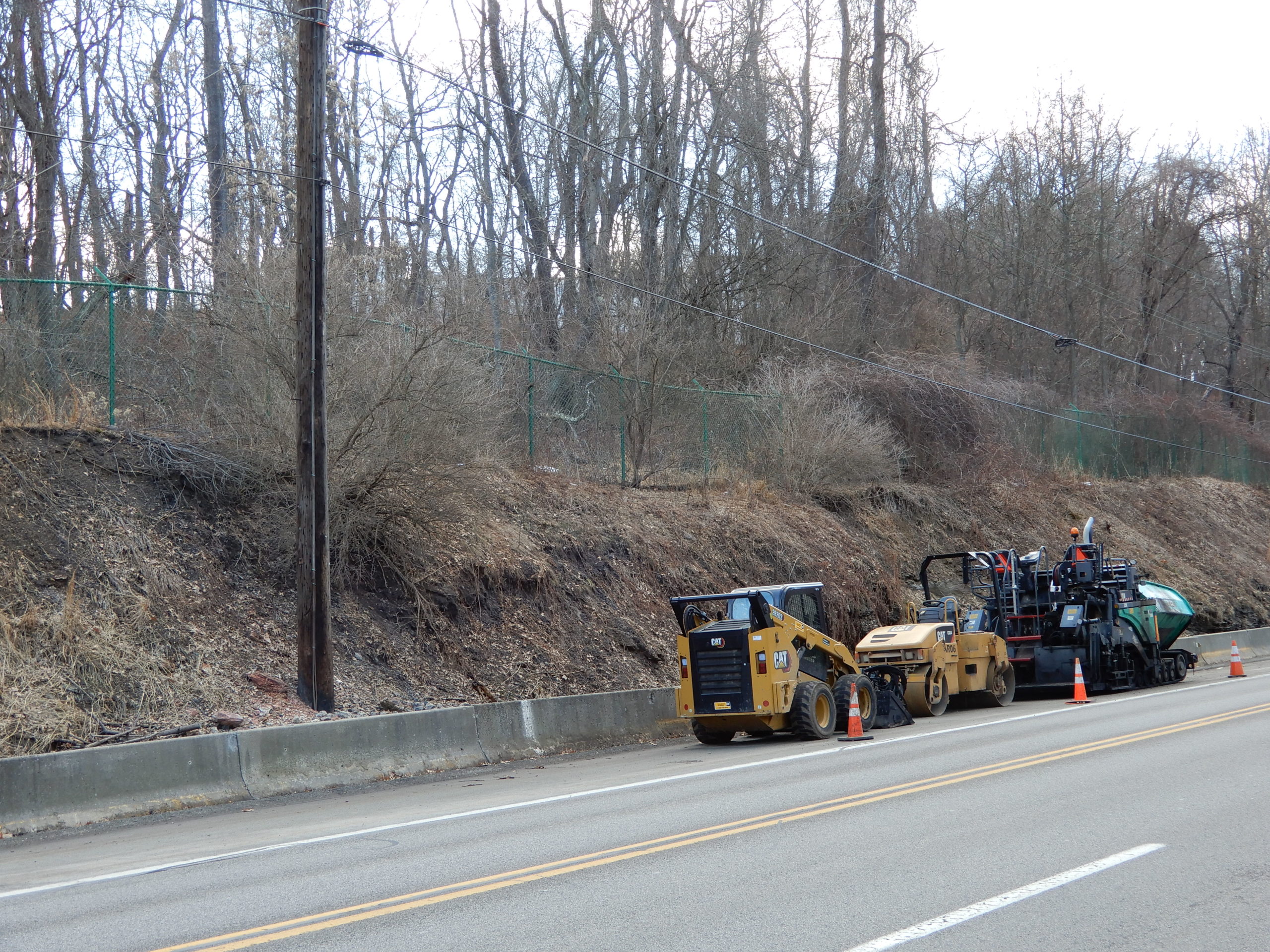
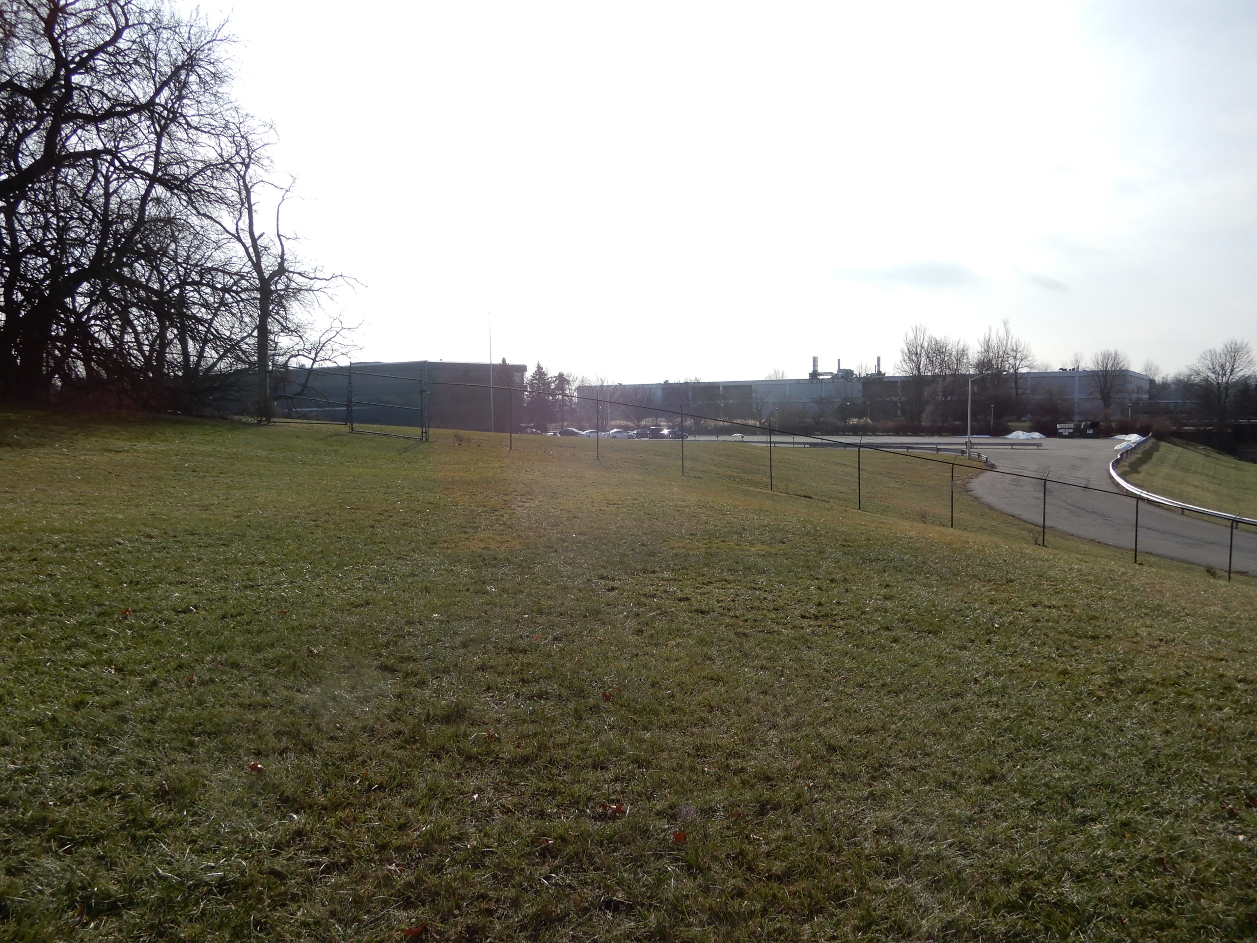
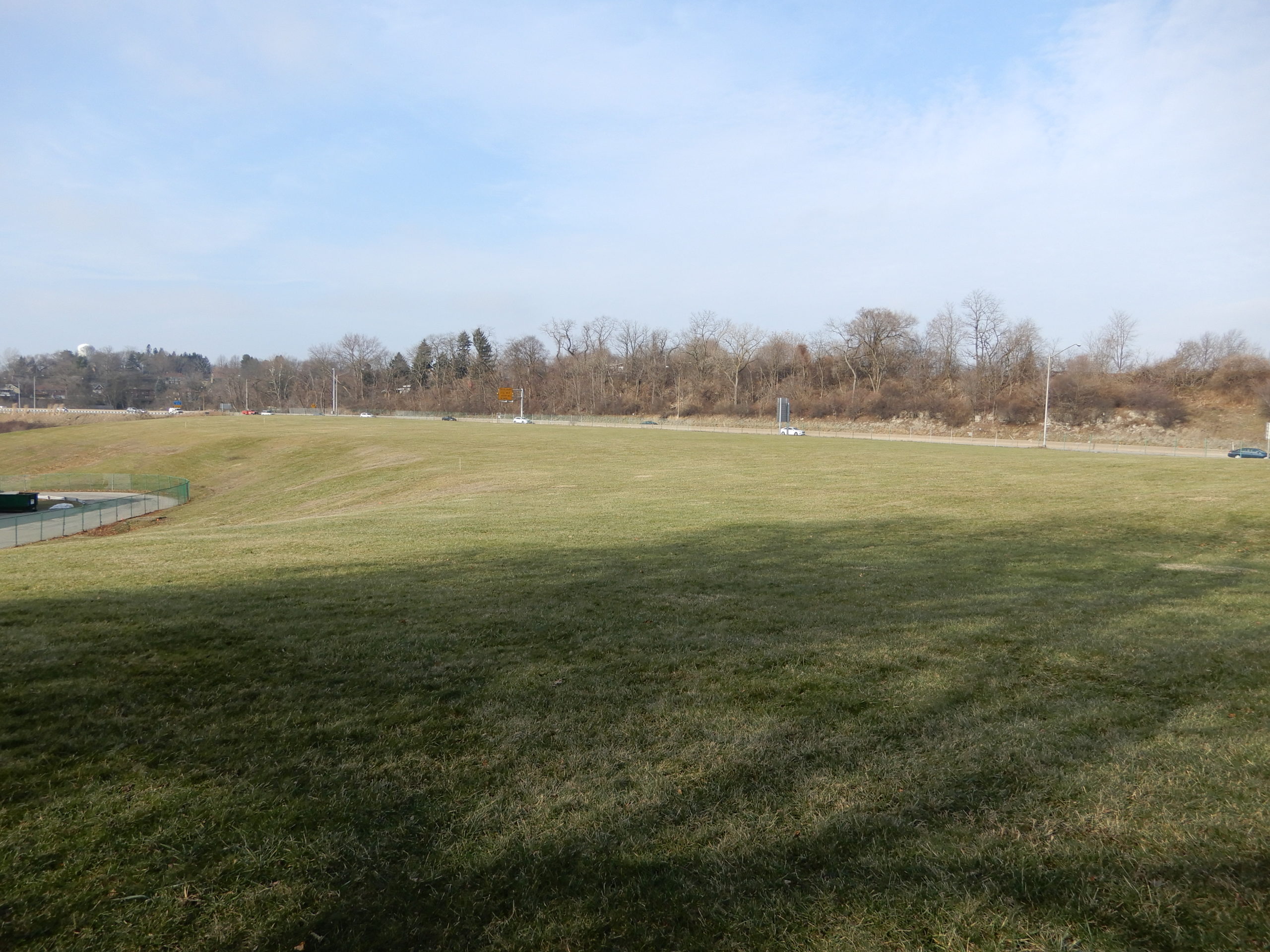
The Hillwood proposal will require a total topography change by flattening the entire hill in every direction, and by using all of the fill to expand east, west, and south with extreme retaining walls, similar to, but larger than what you can see on the RT 22 Shop and Save.
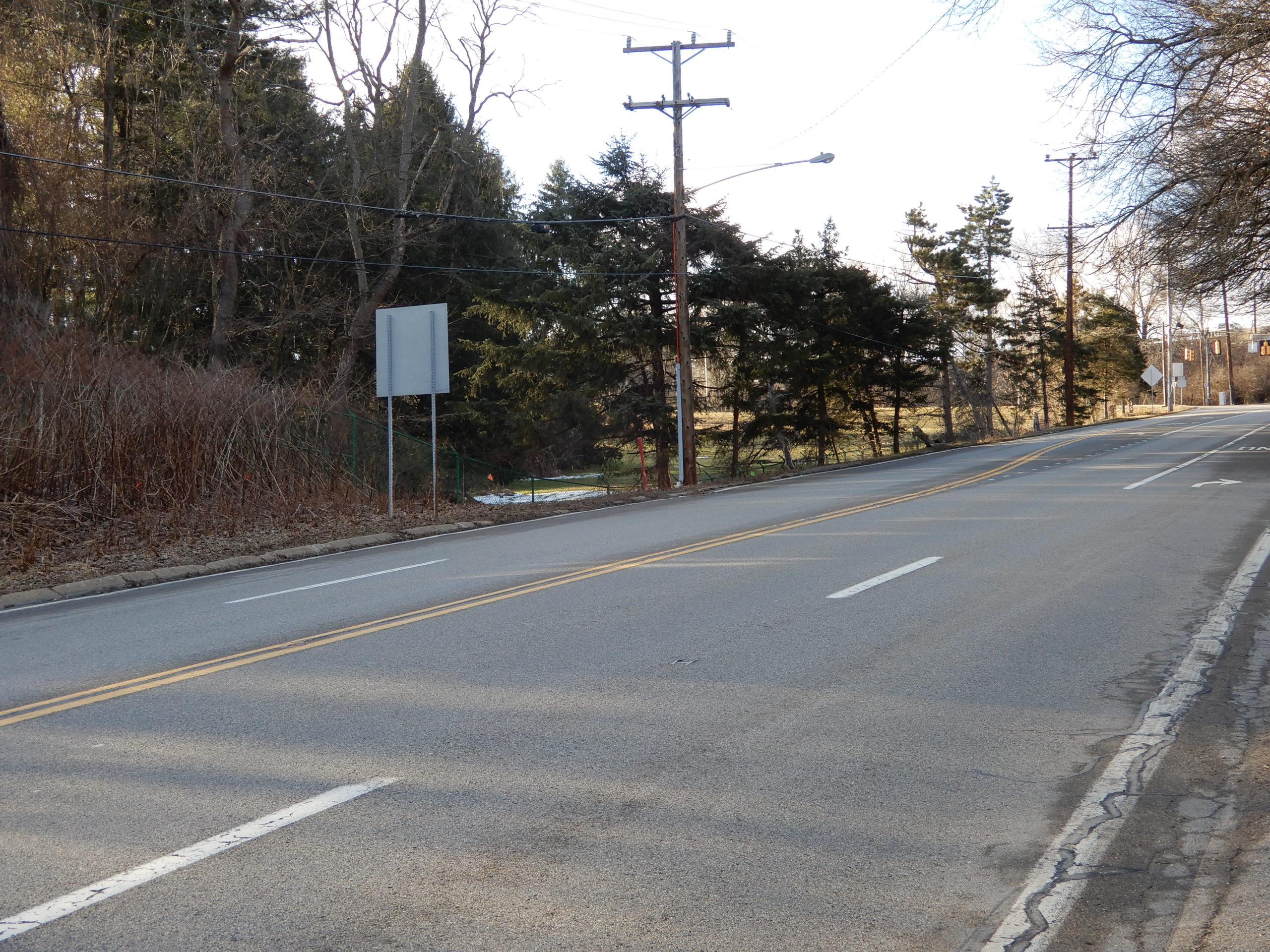
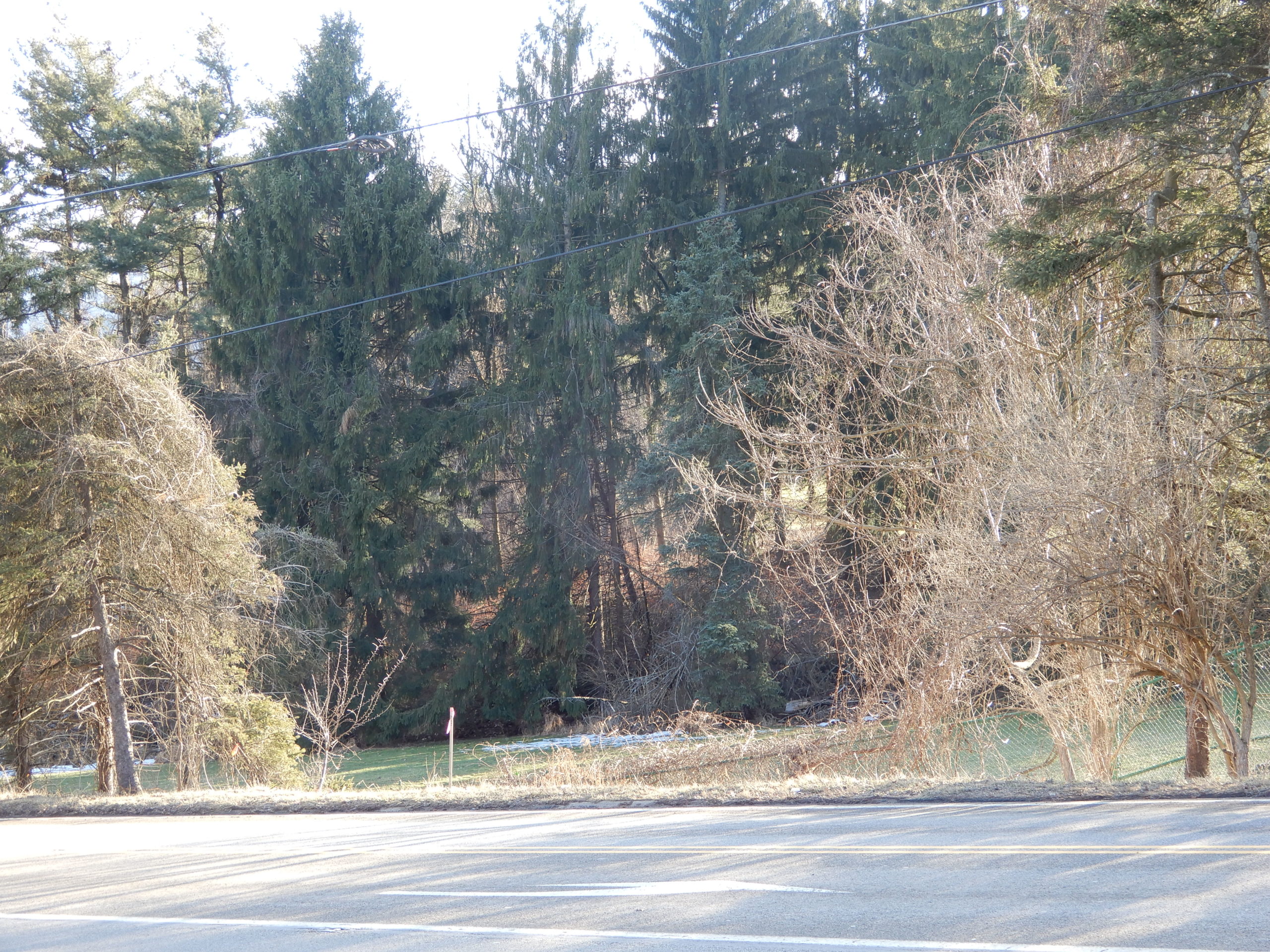
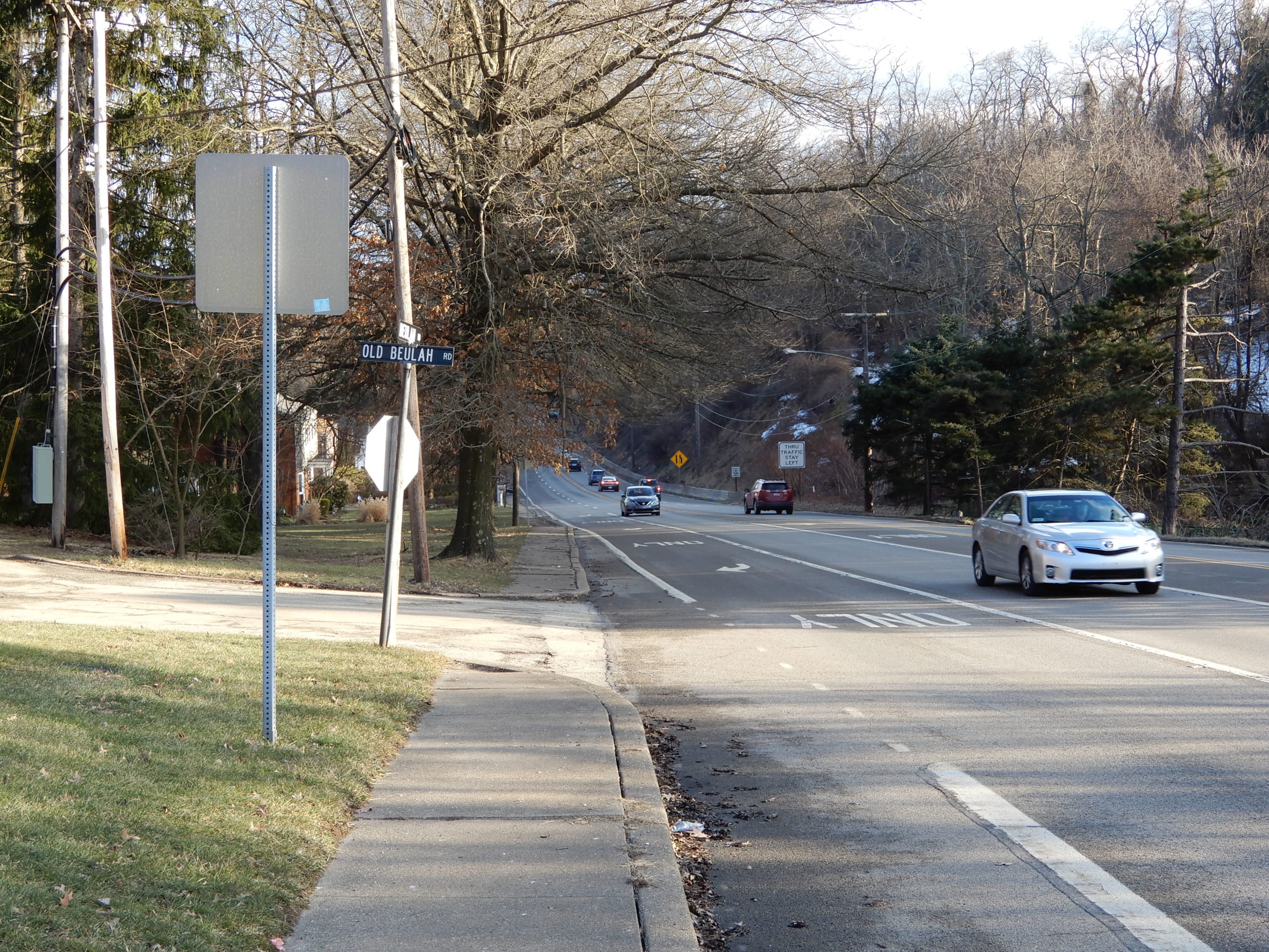
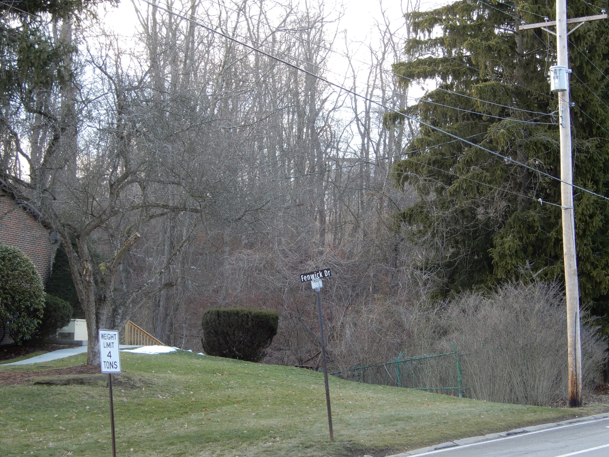
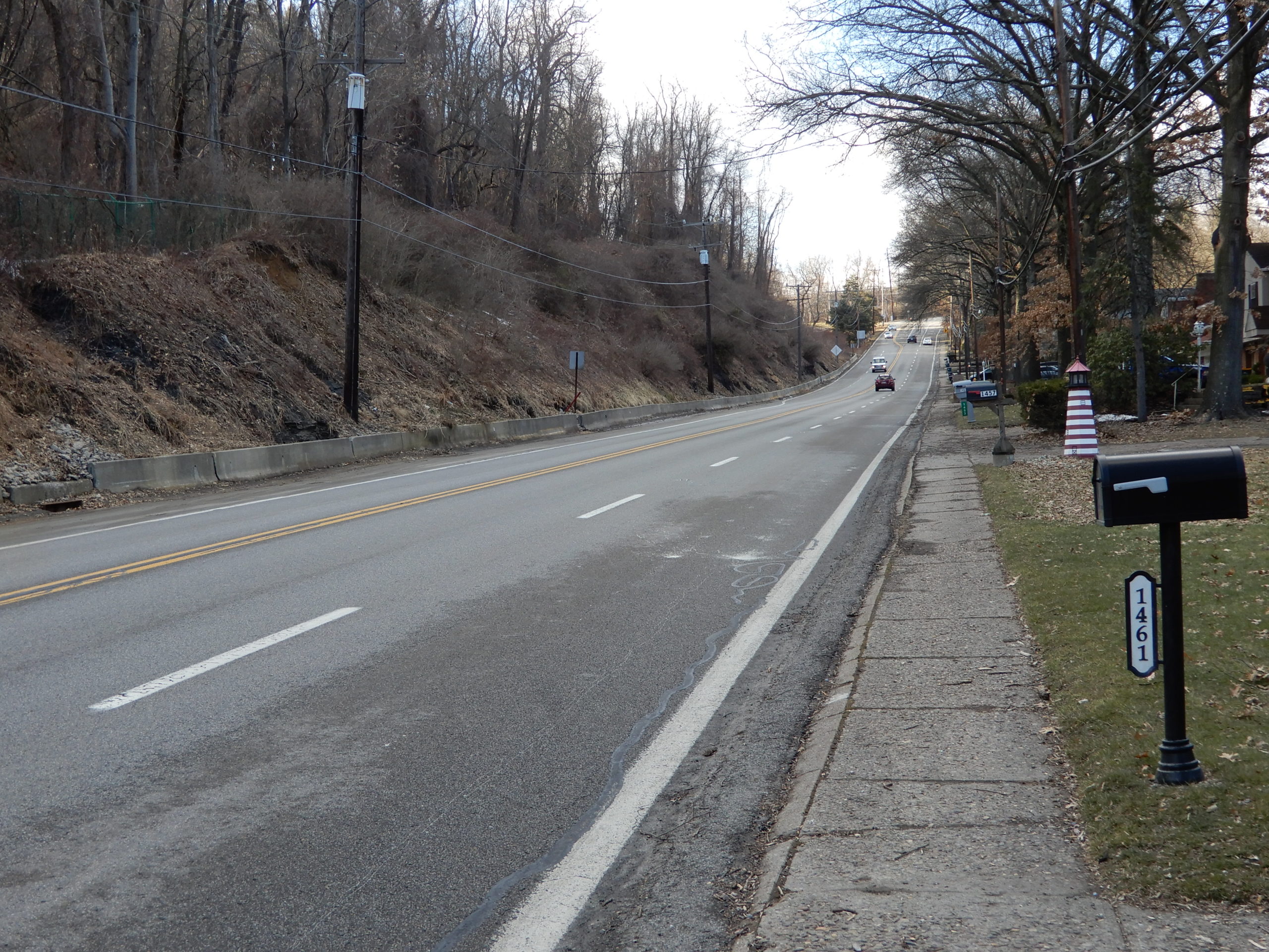
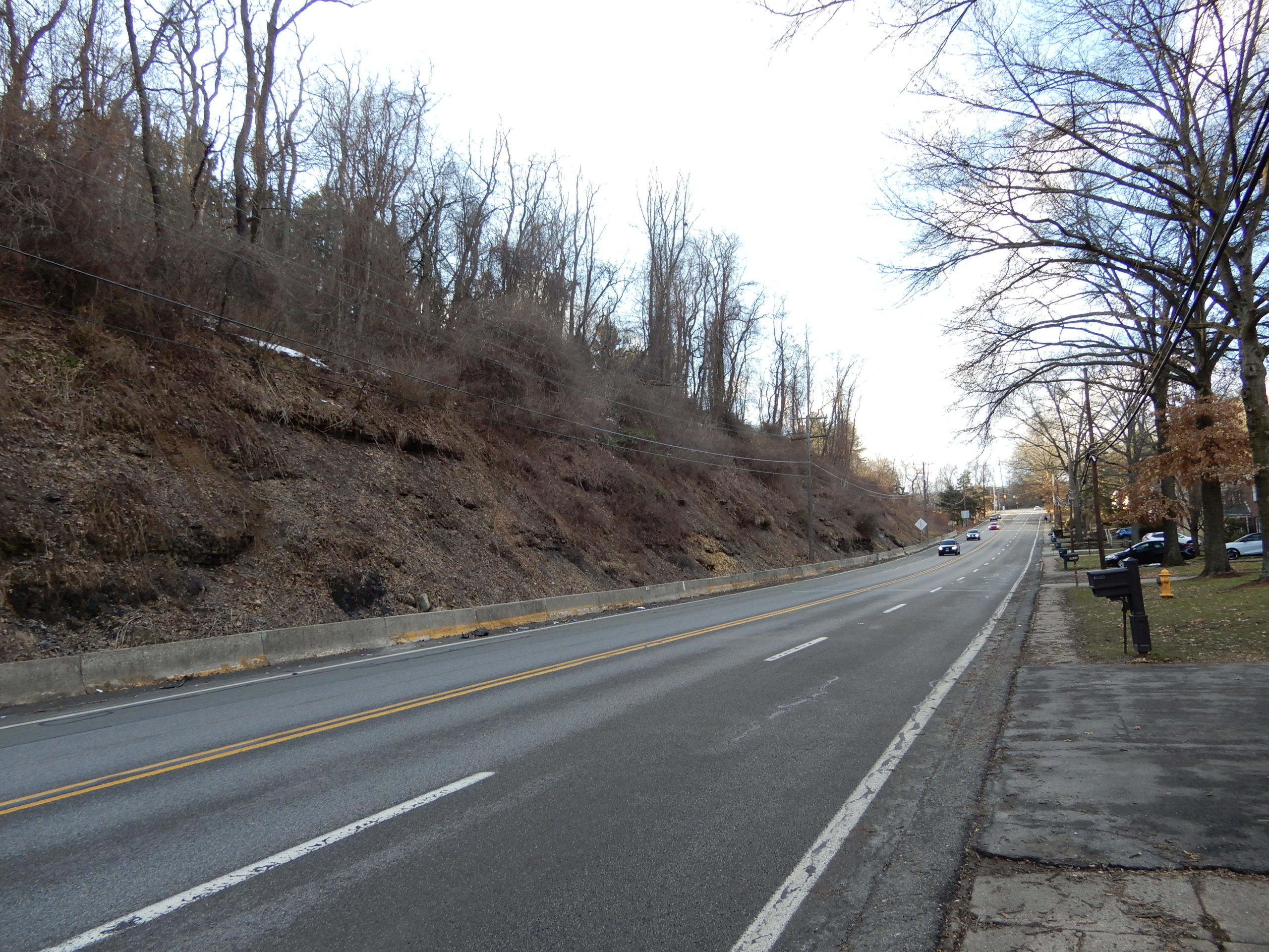
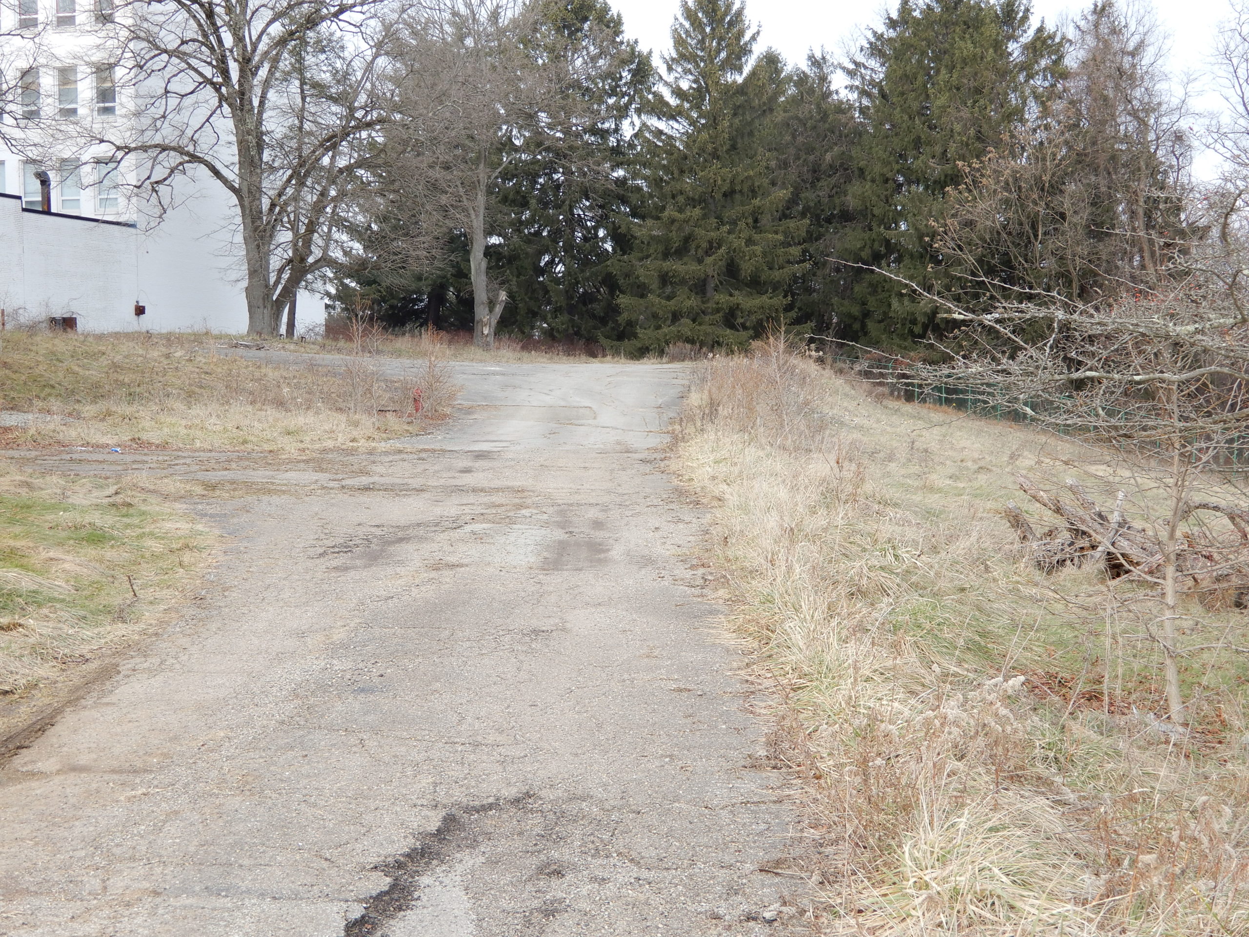
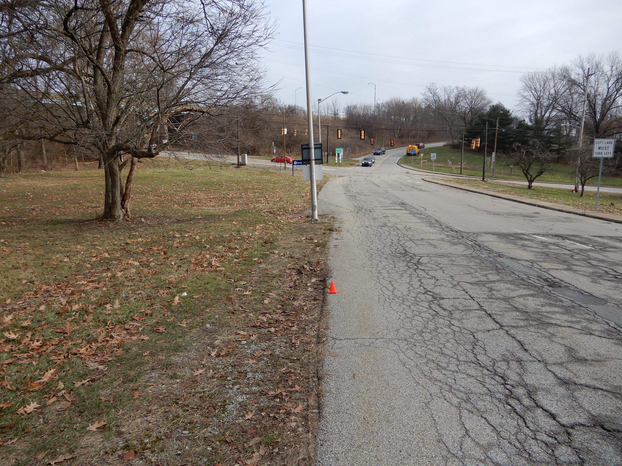
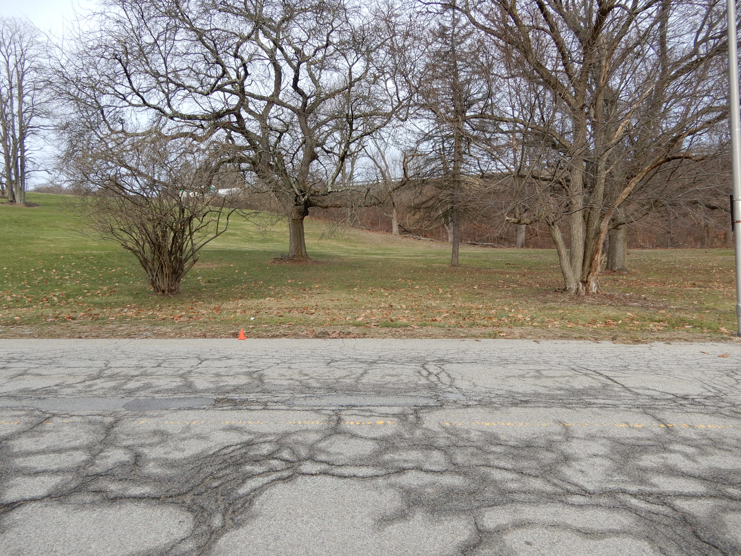
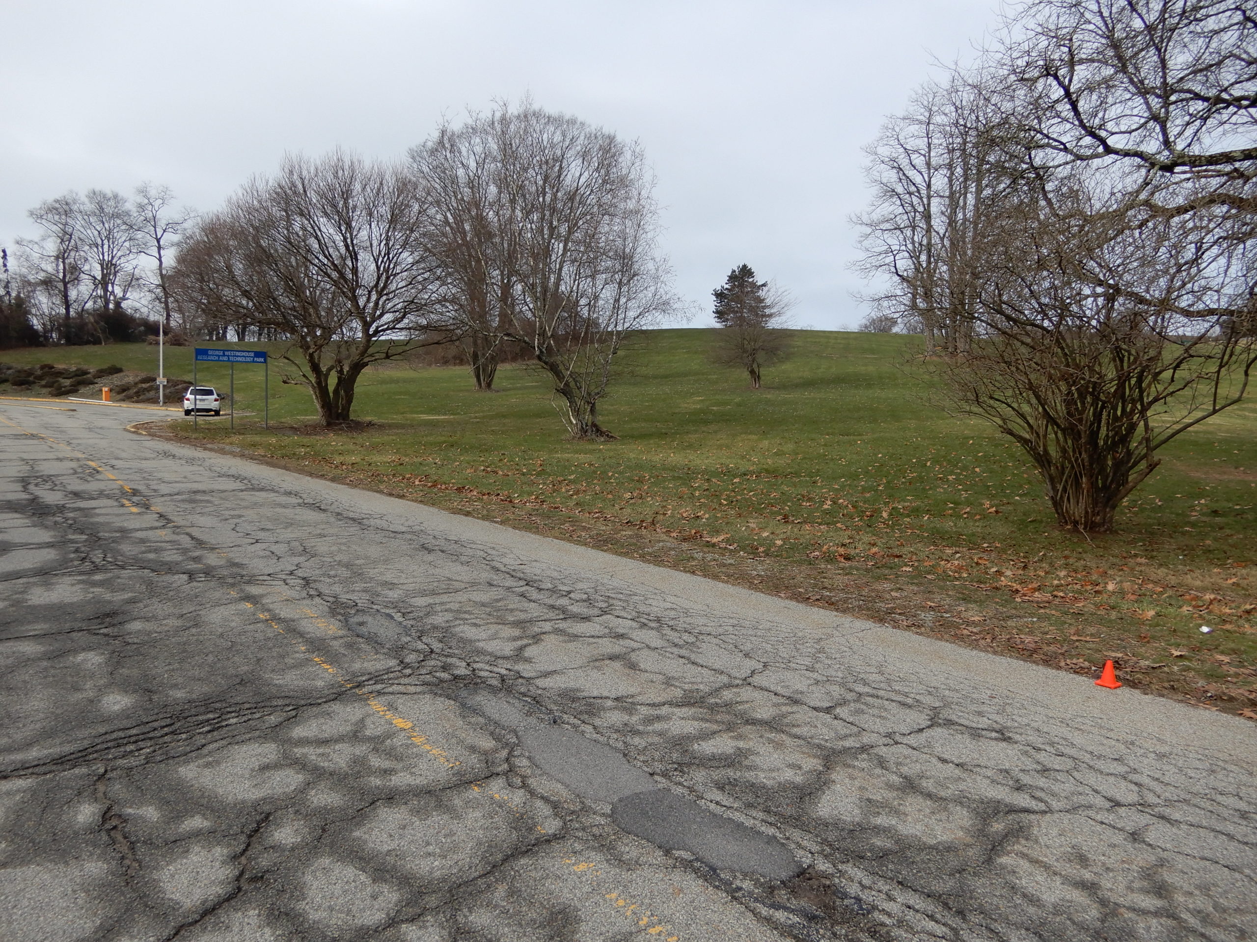
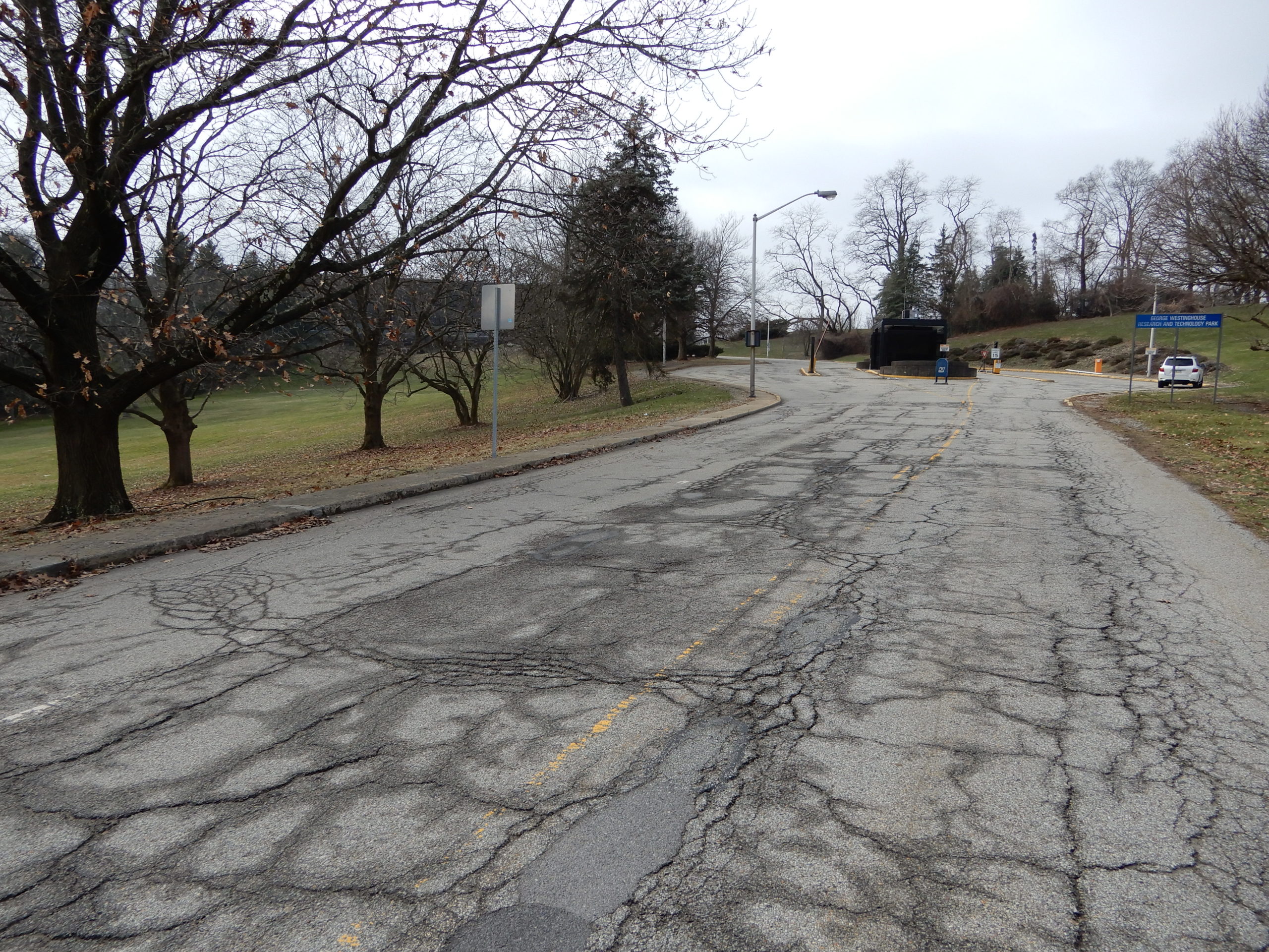
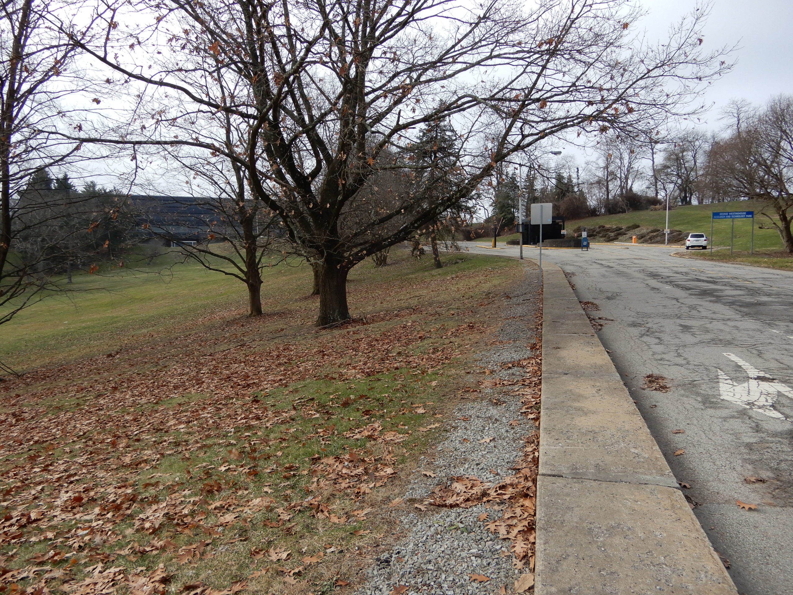
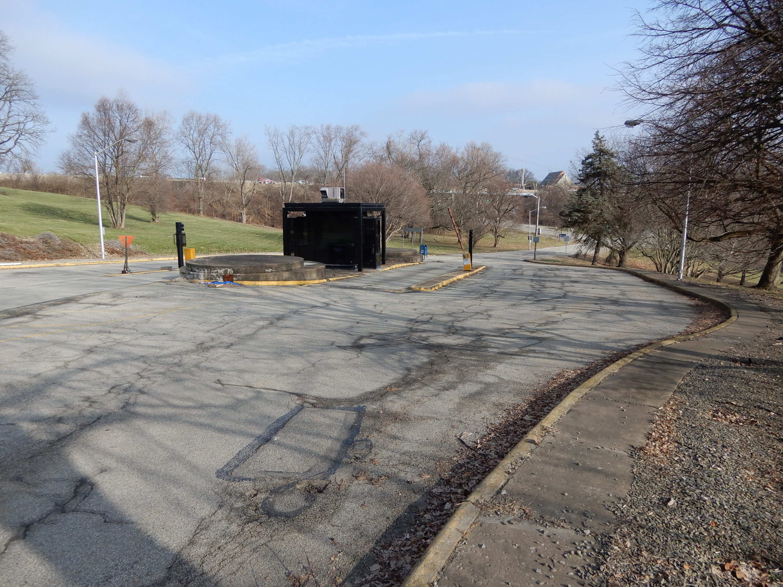
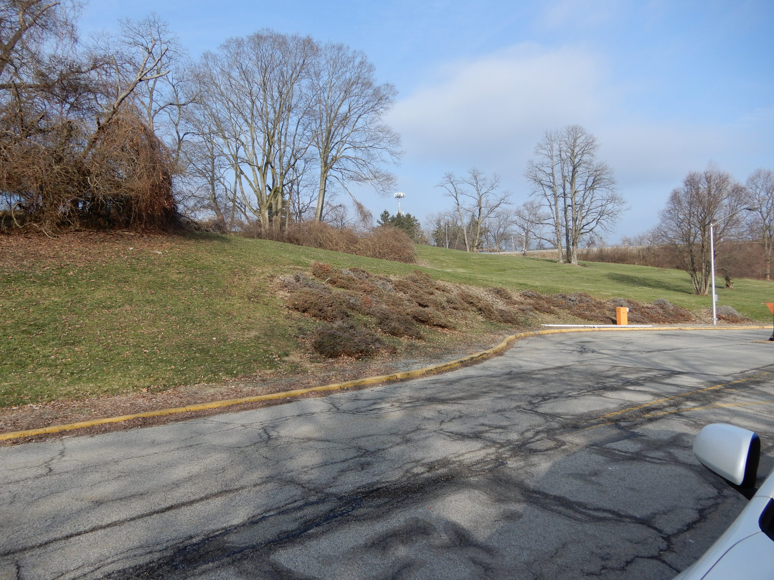
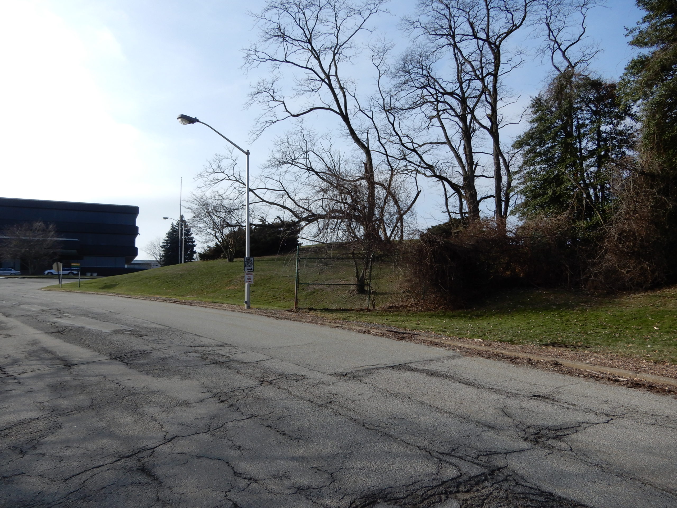
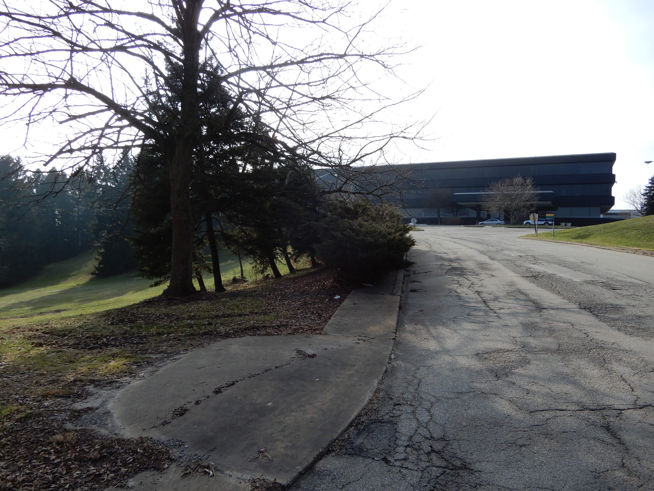
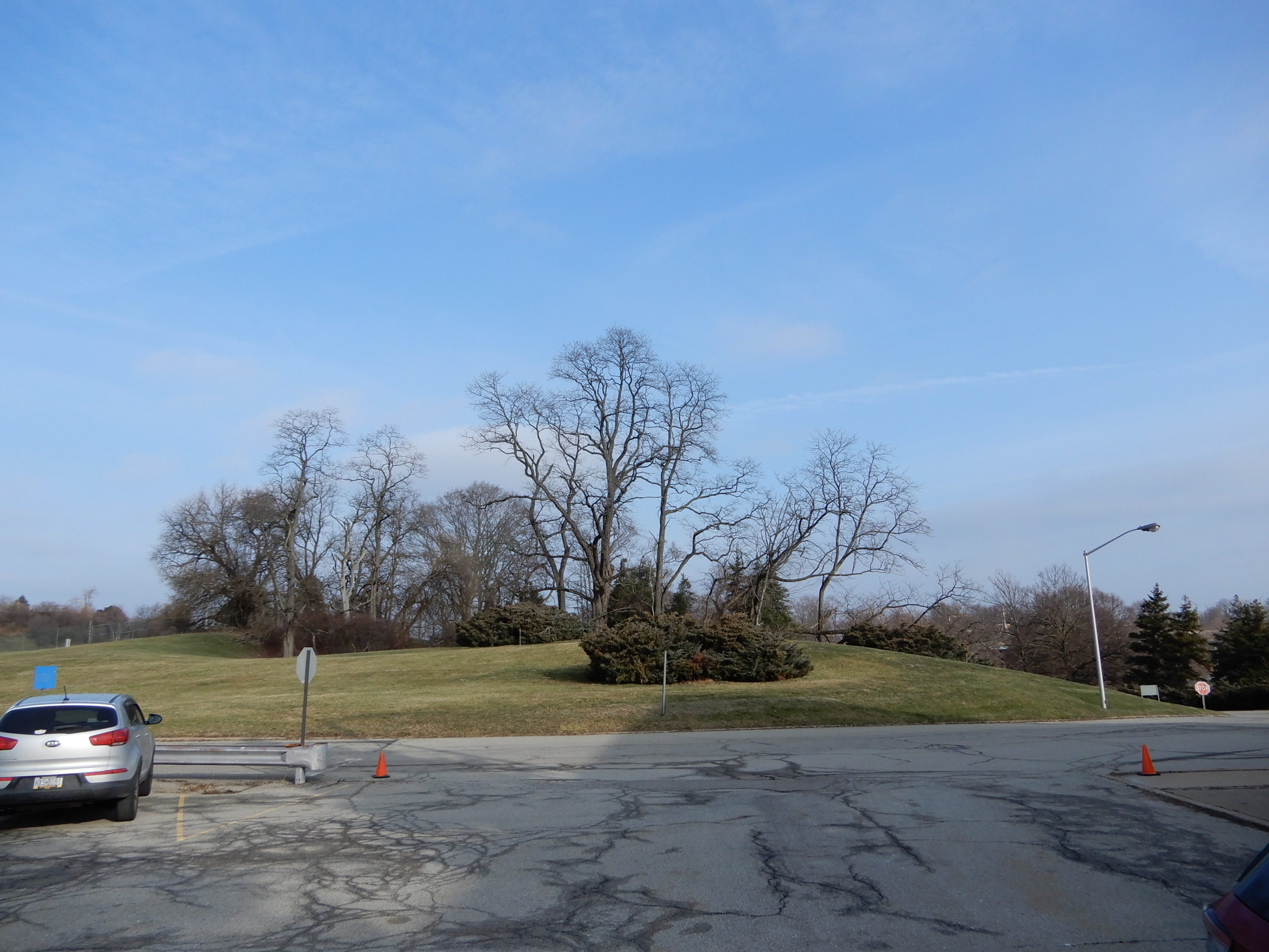
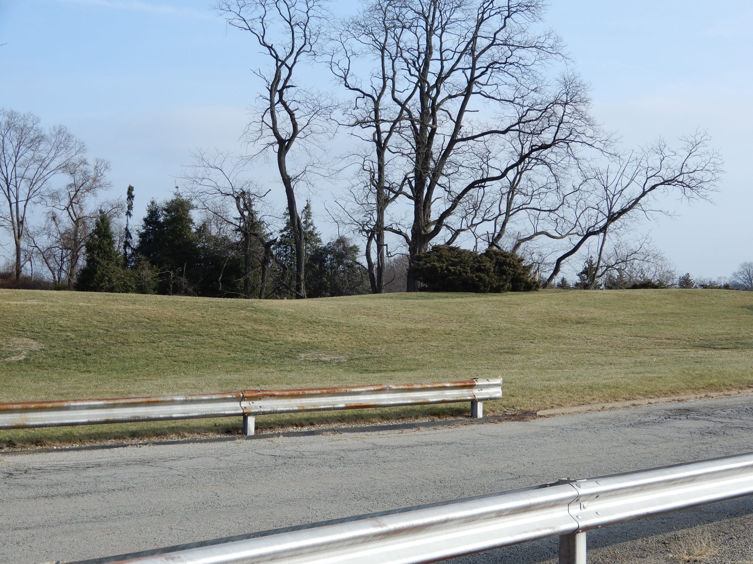
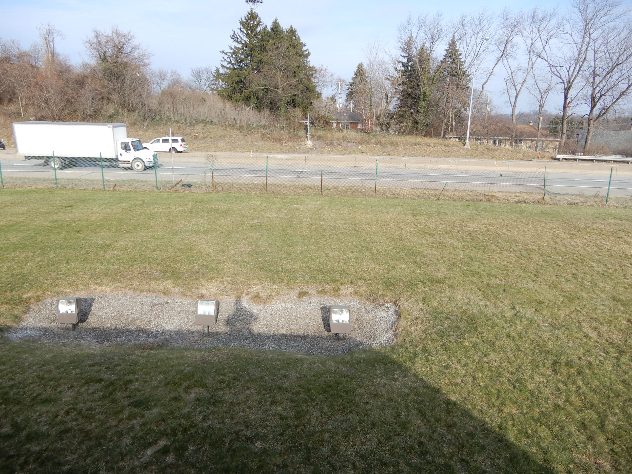
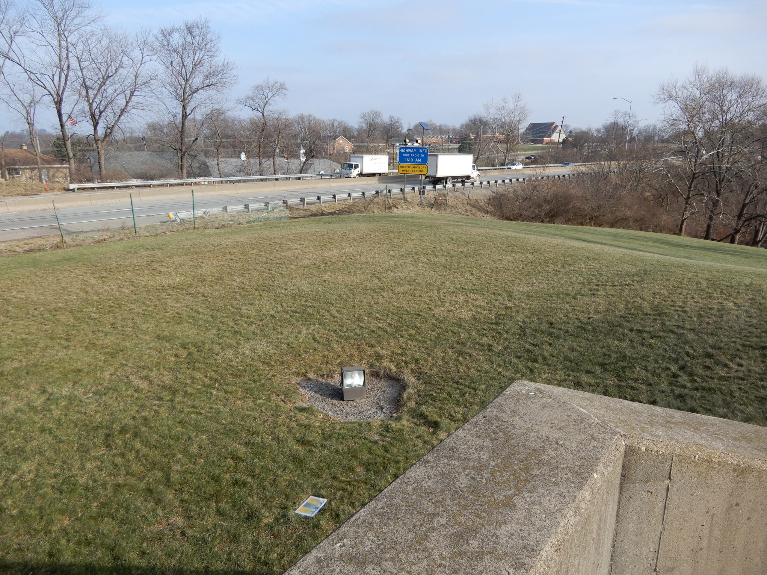
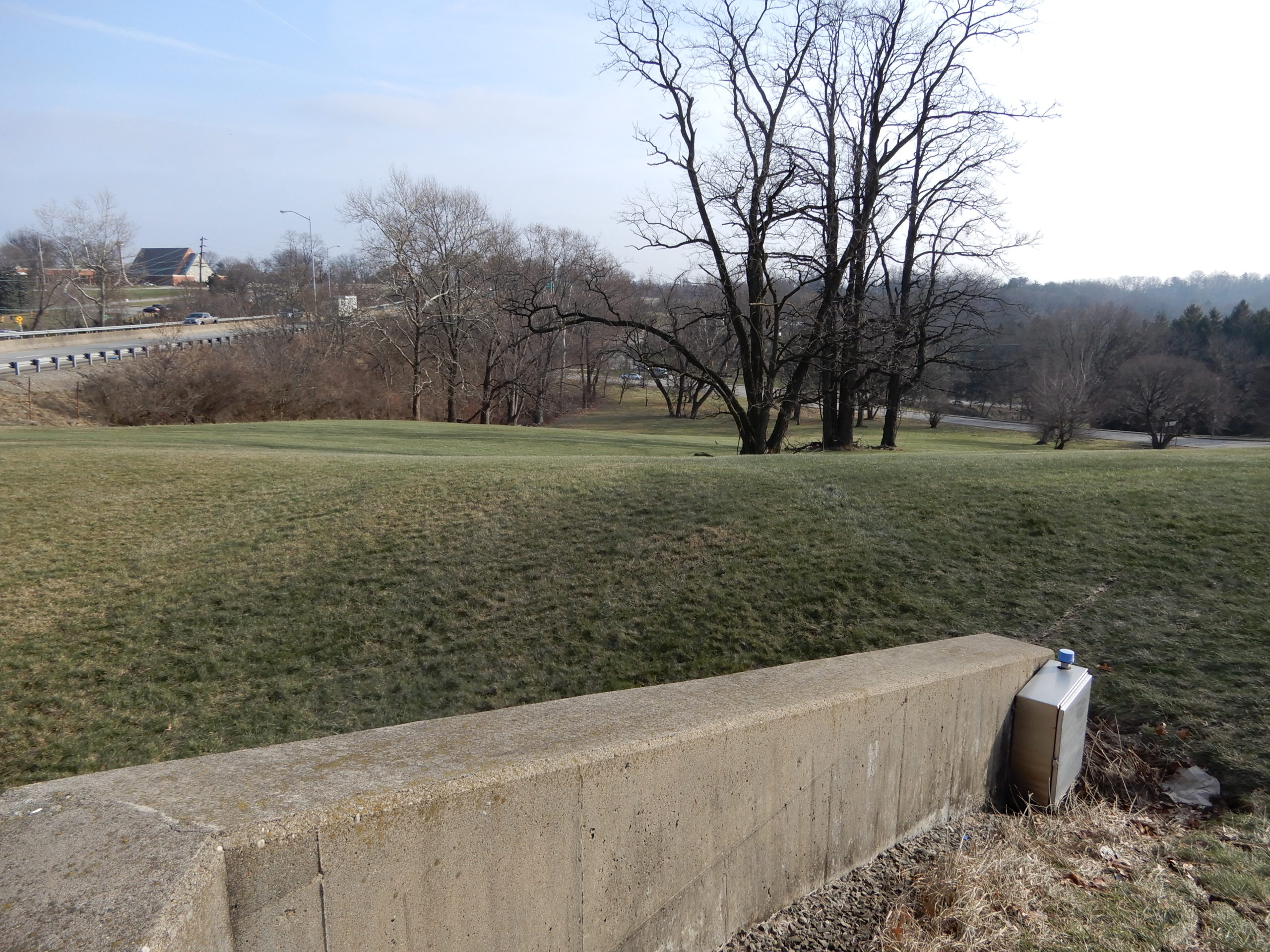
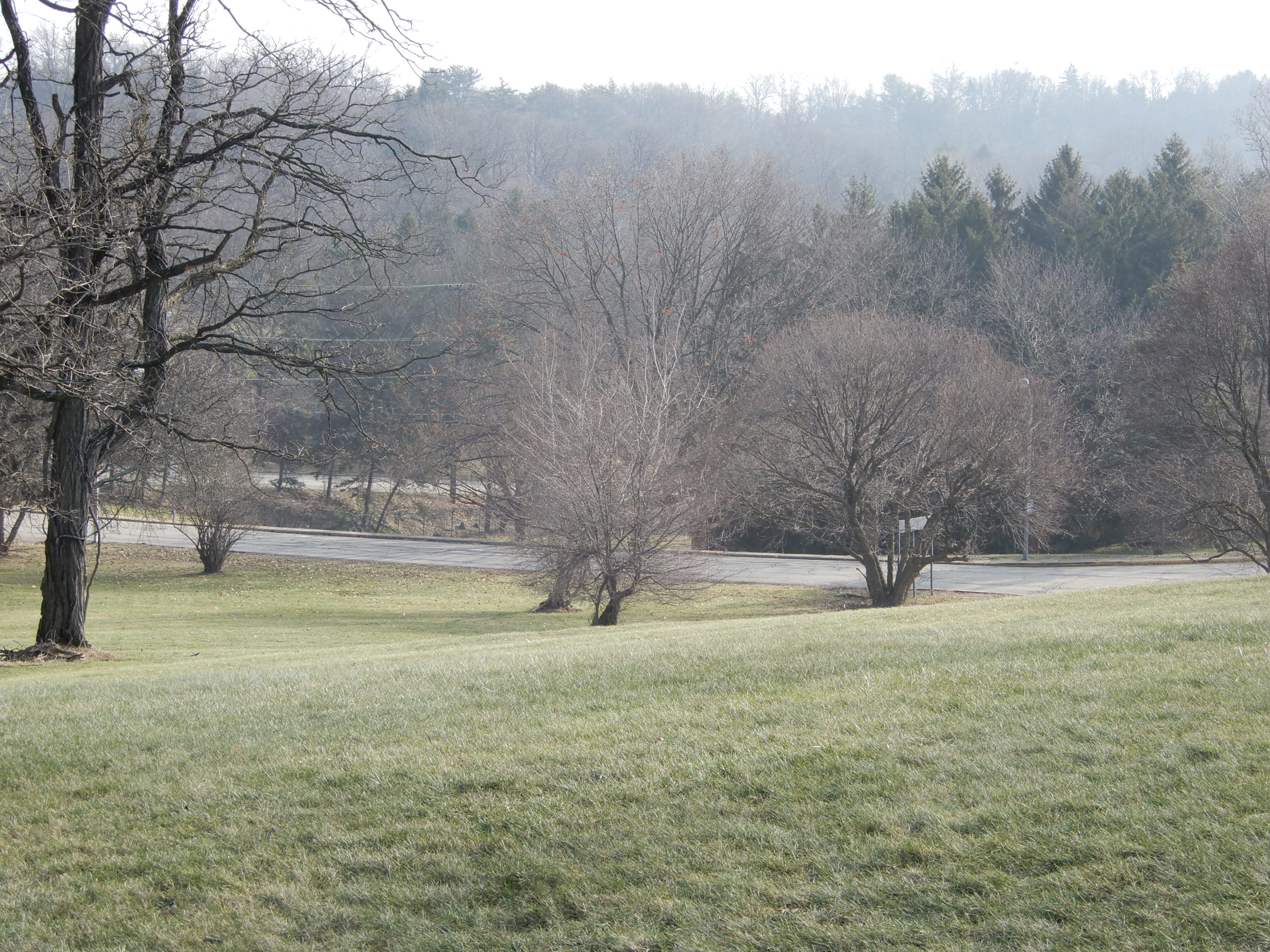
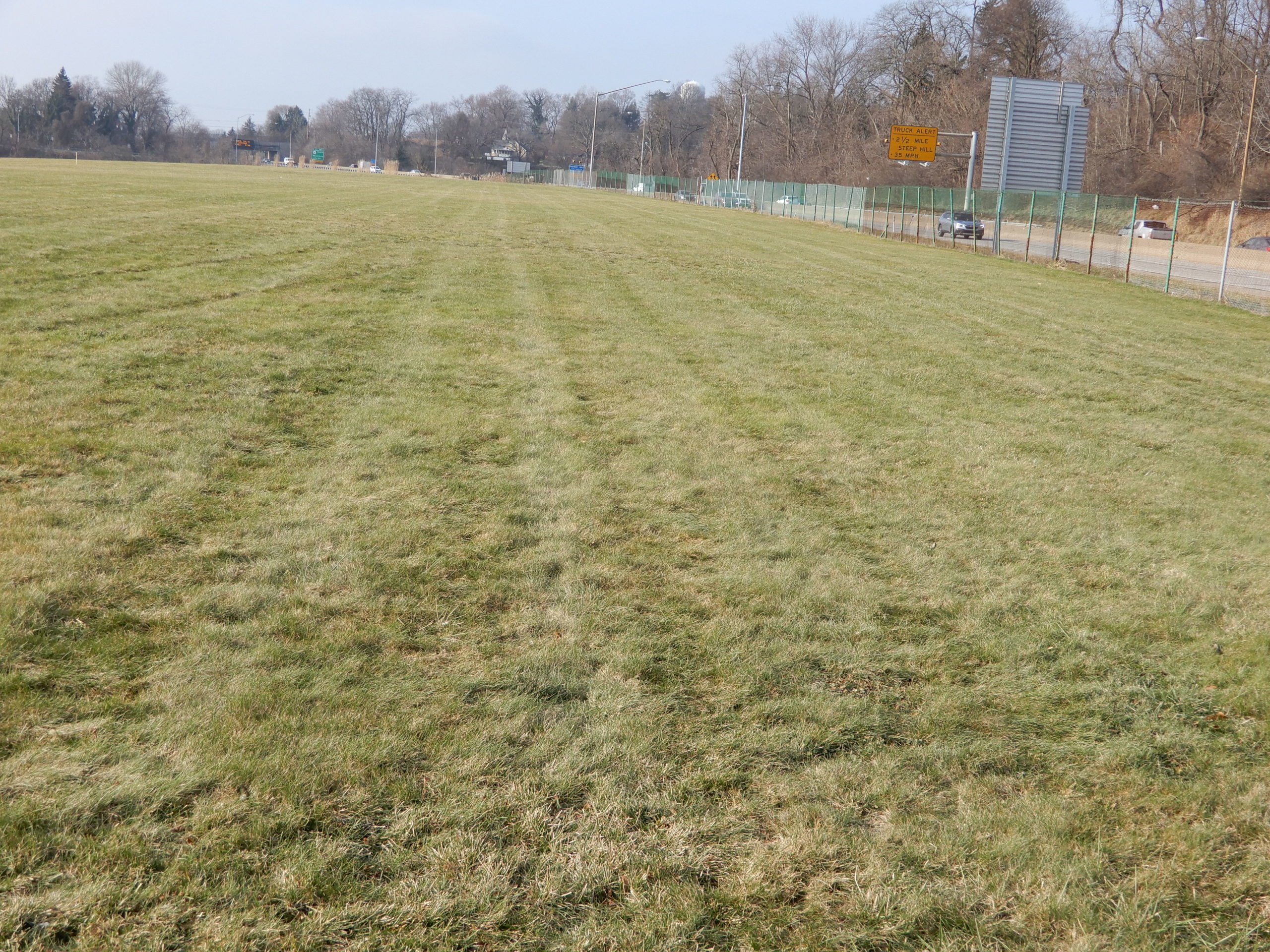
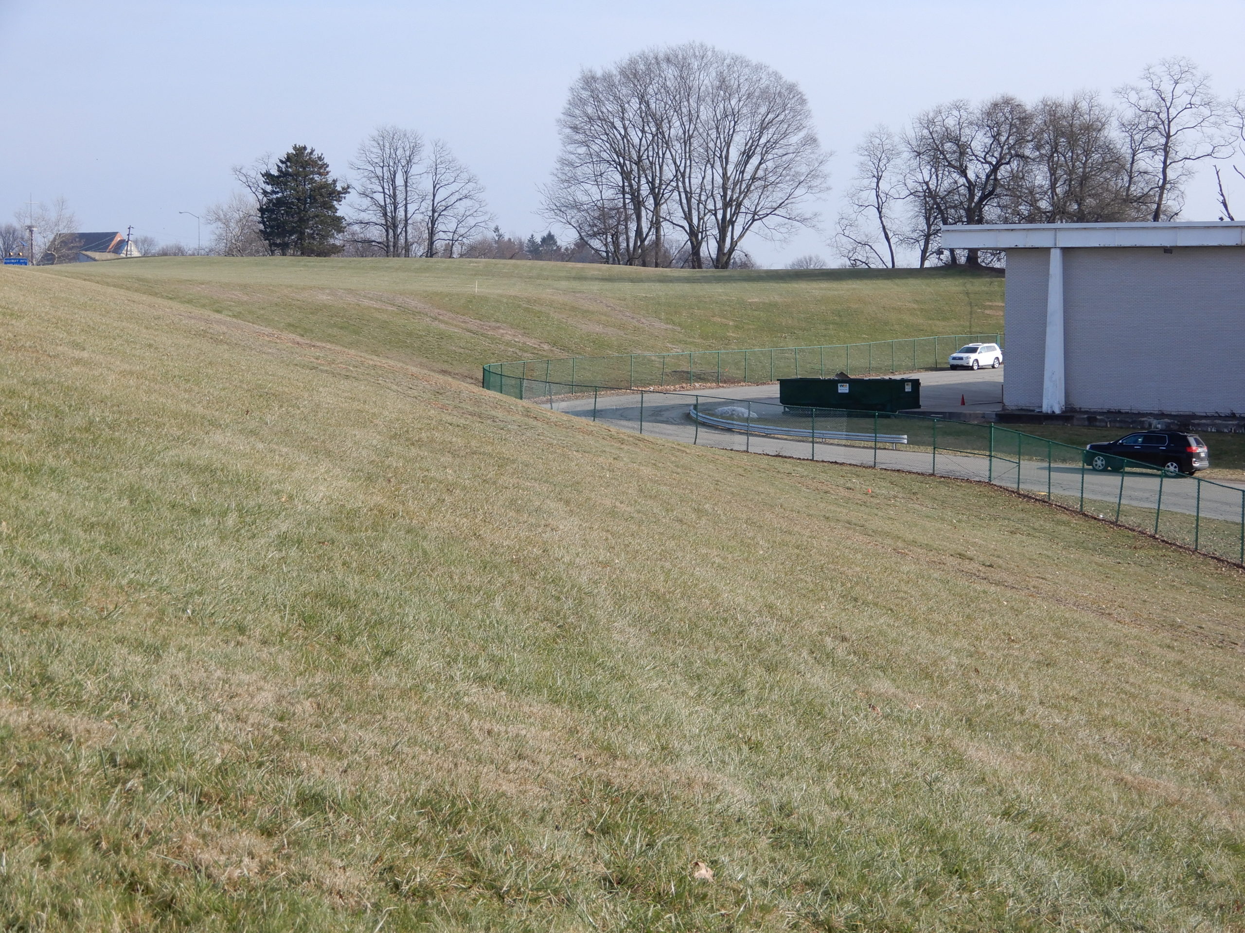
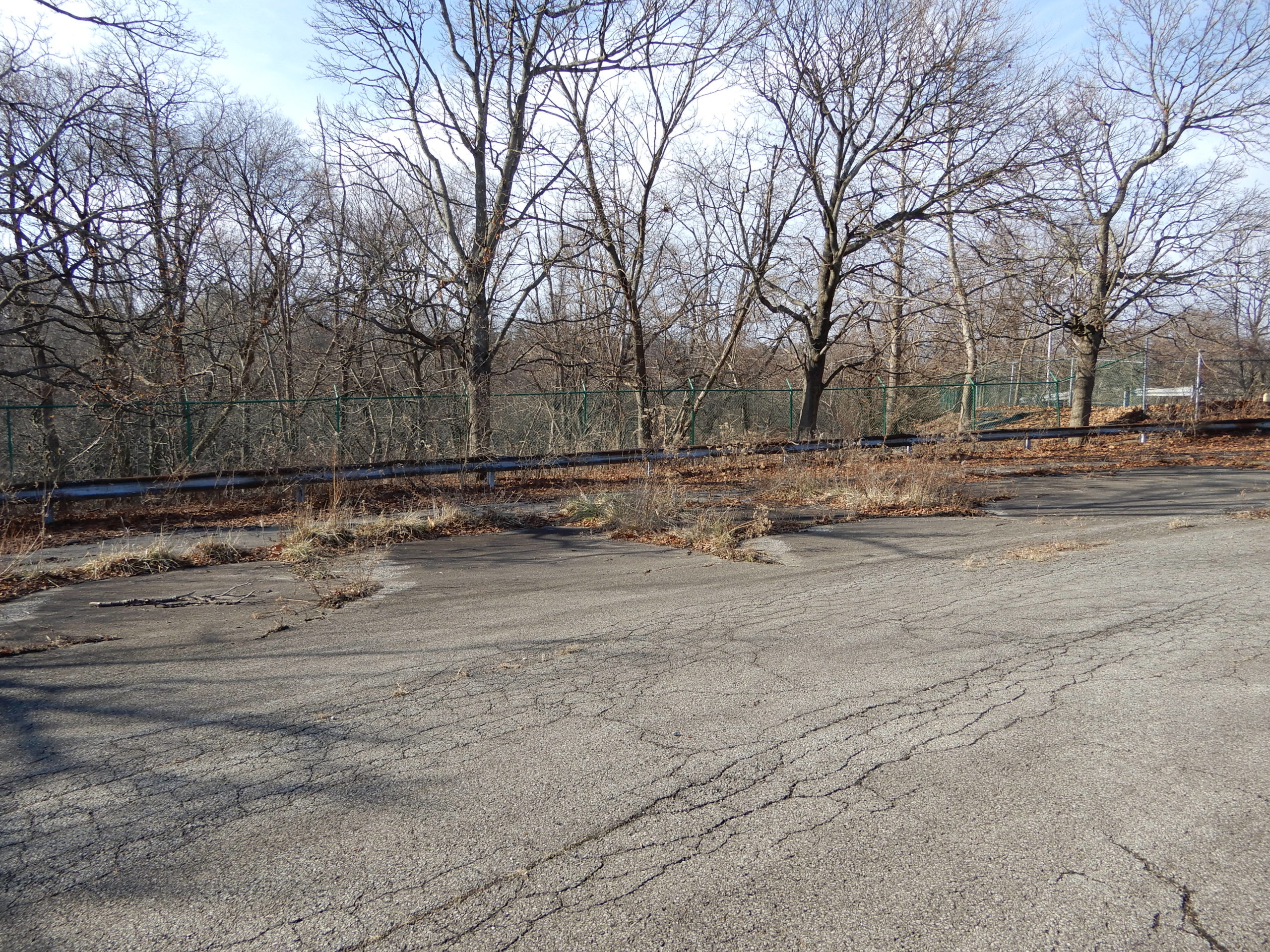
You can orient yourself by looking at views approaching from Beulah. Note that the Hillwood drive will only go to half the distance to the existing guard house, roughly where there is a small traffic cone.
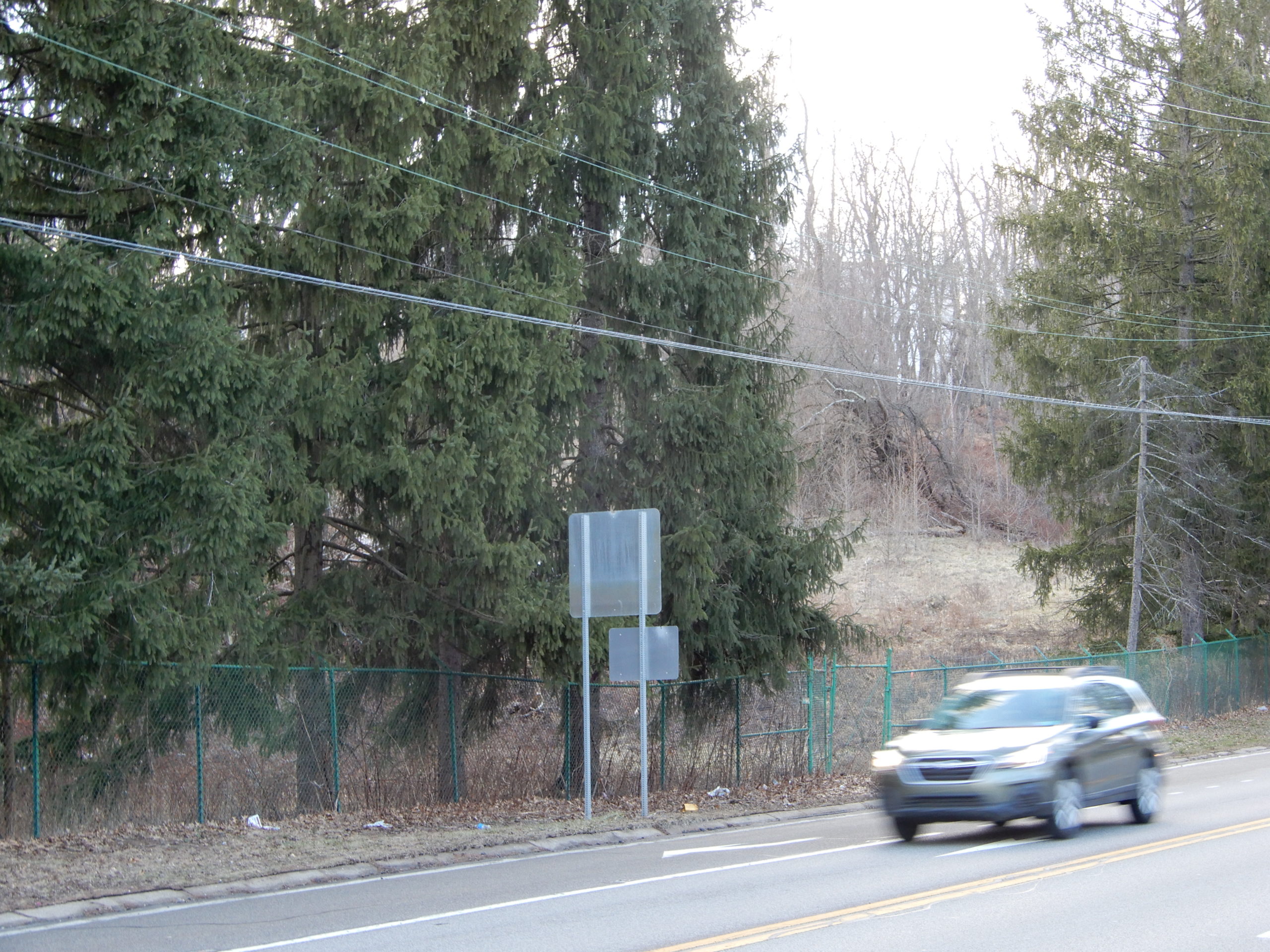
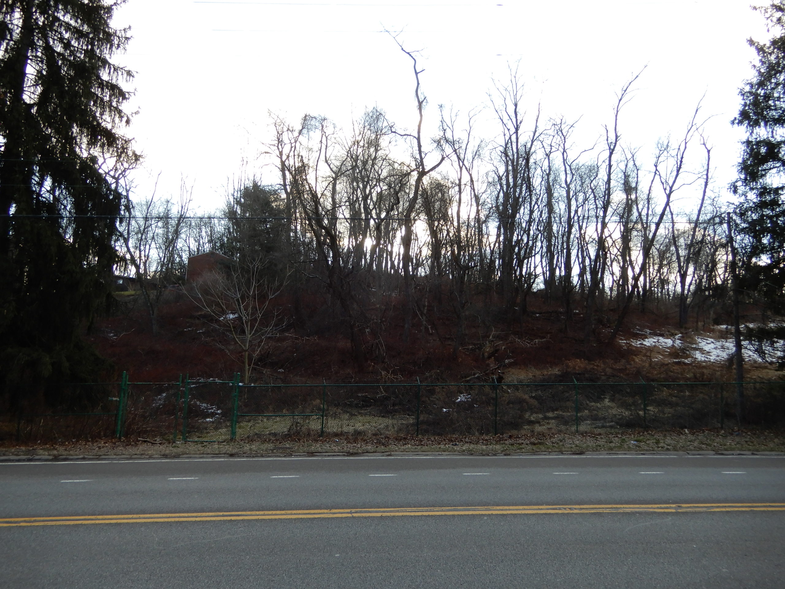
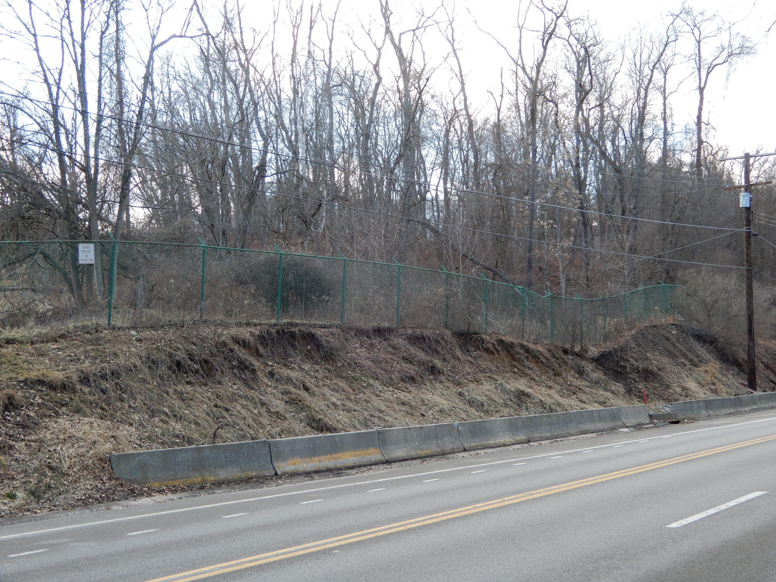
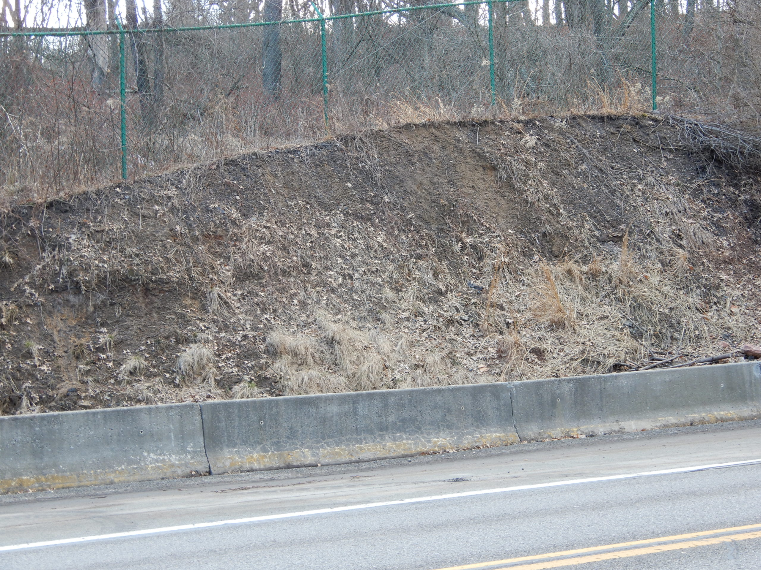
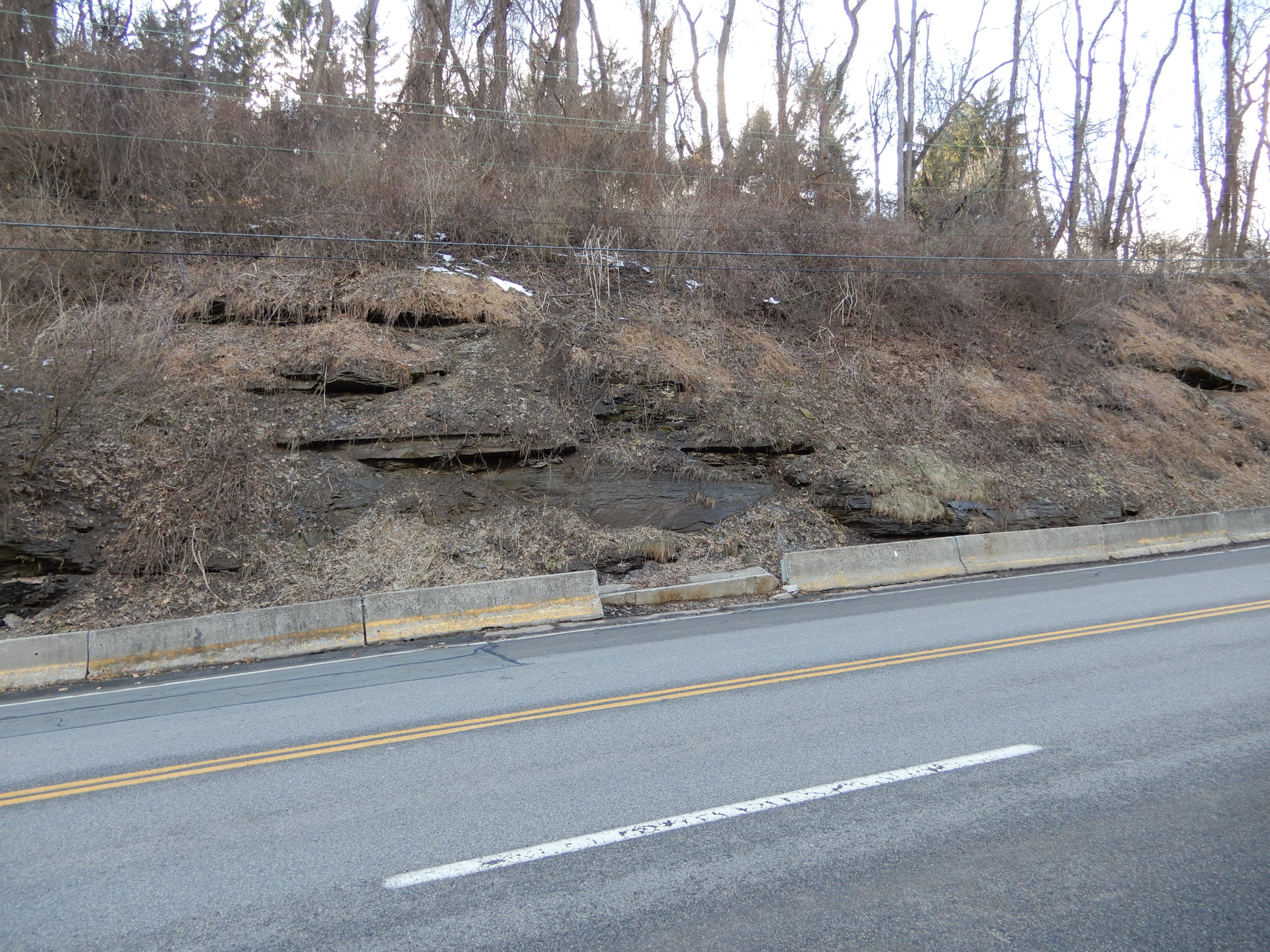
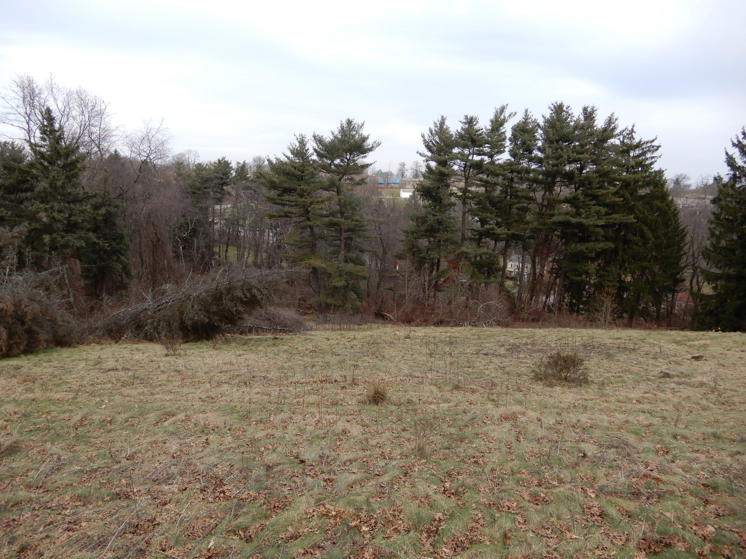
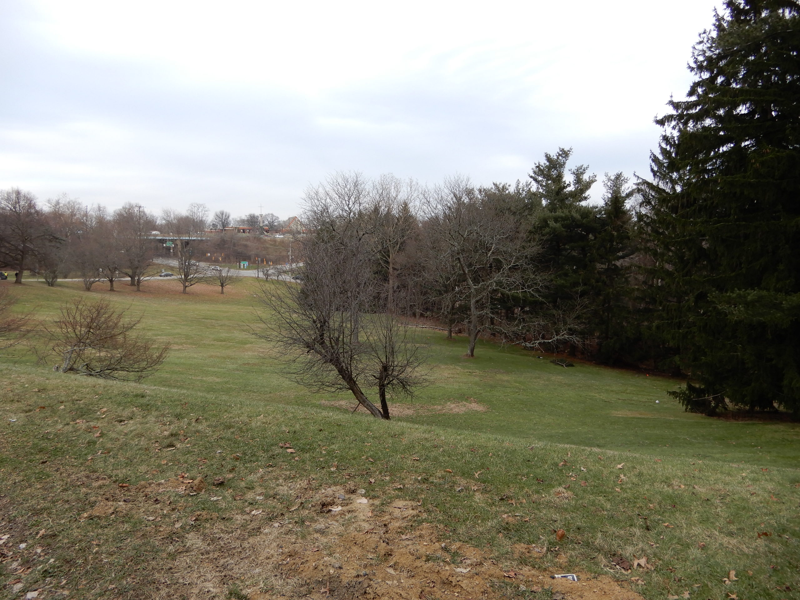
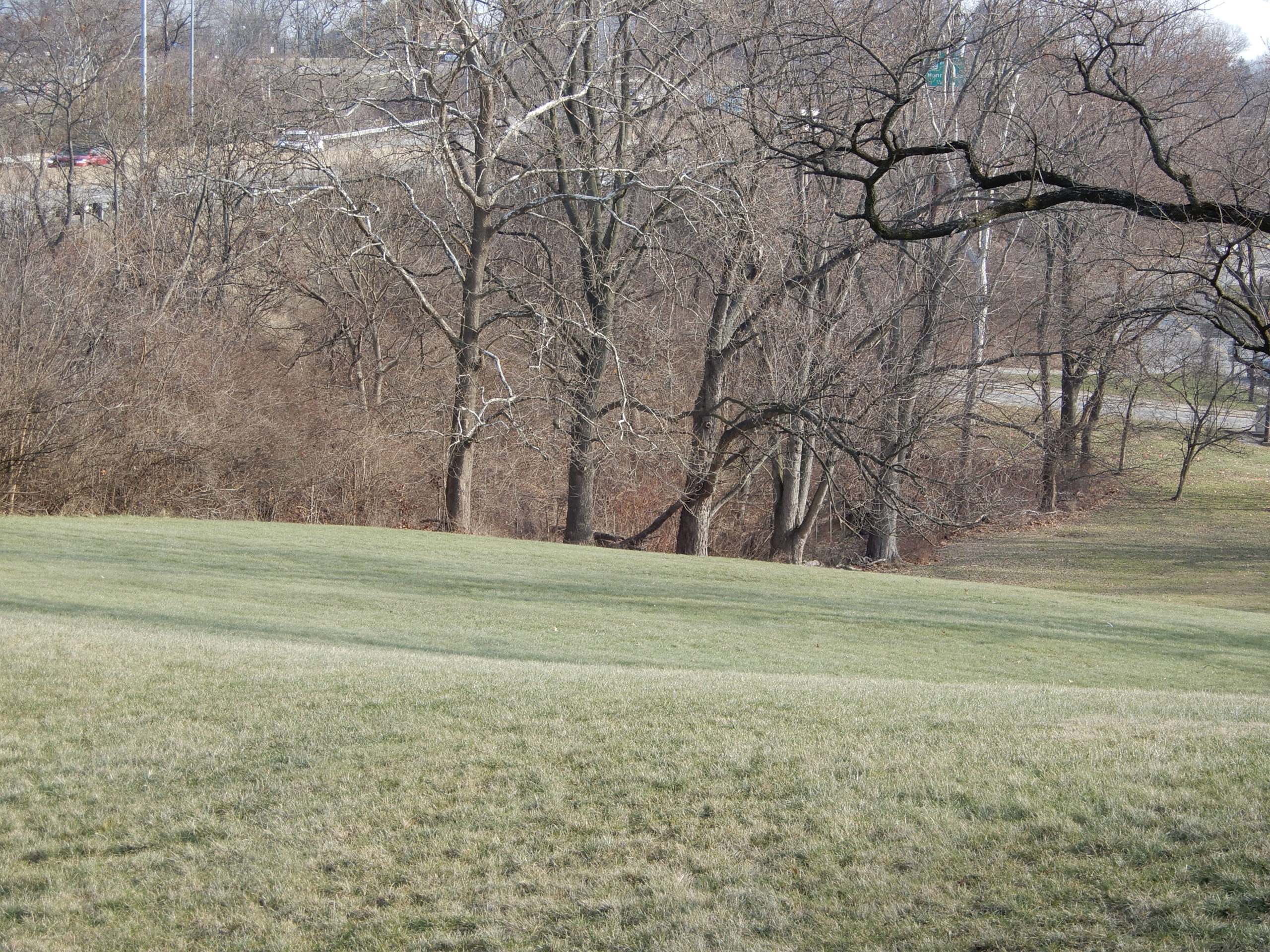
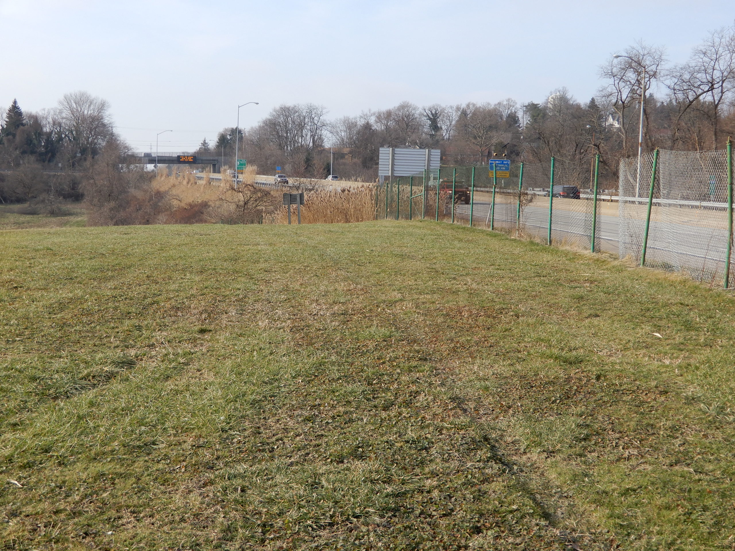
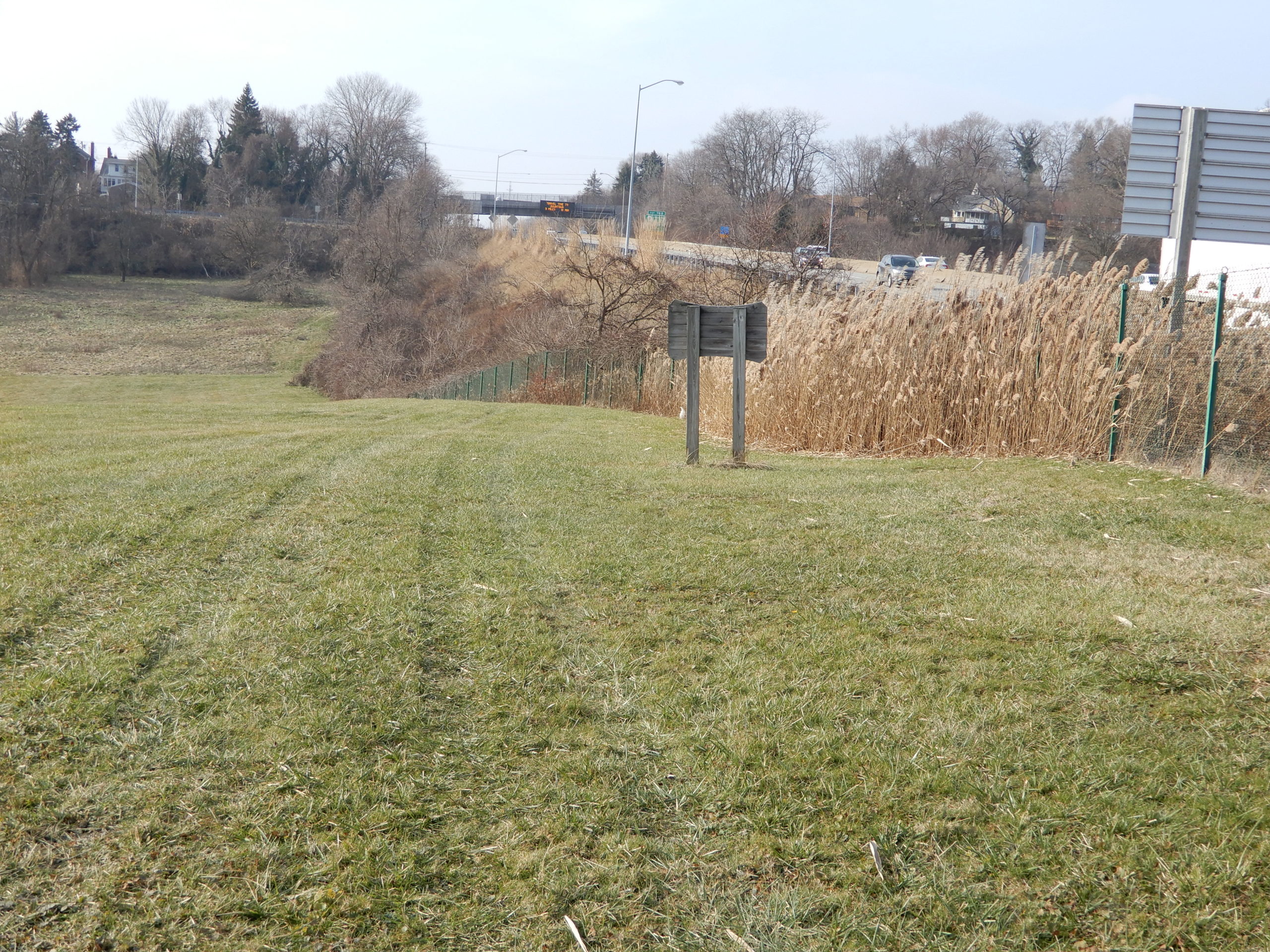
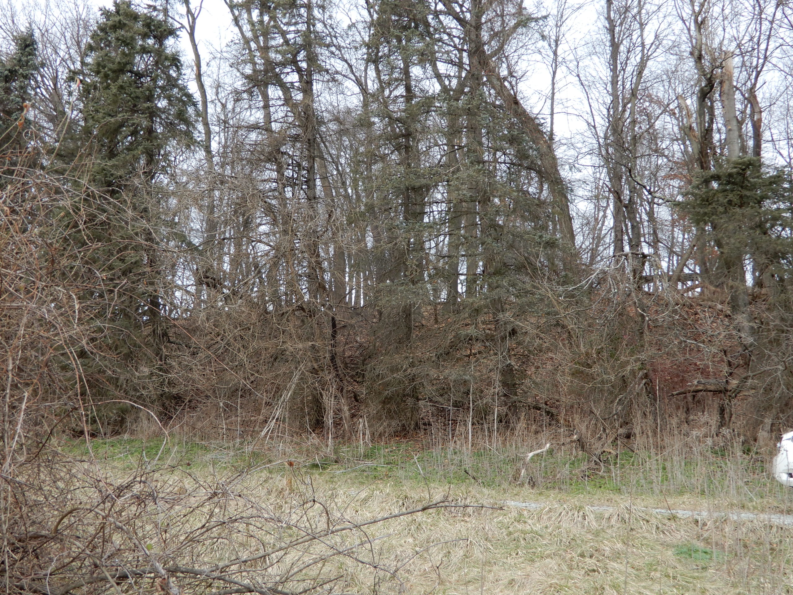
All the topography on the right will be removed and used as fill and then a low road will be constructed with a retaining wall up against the narrow strip bordering the park way. Looking left all the trees will be removed to about 100 feet from Beulah road.
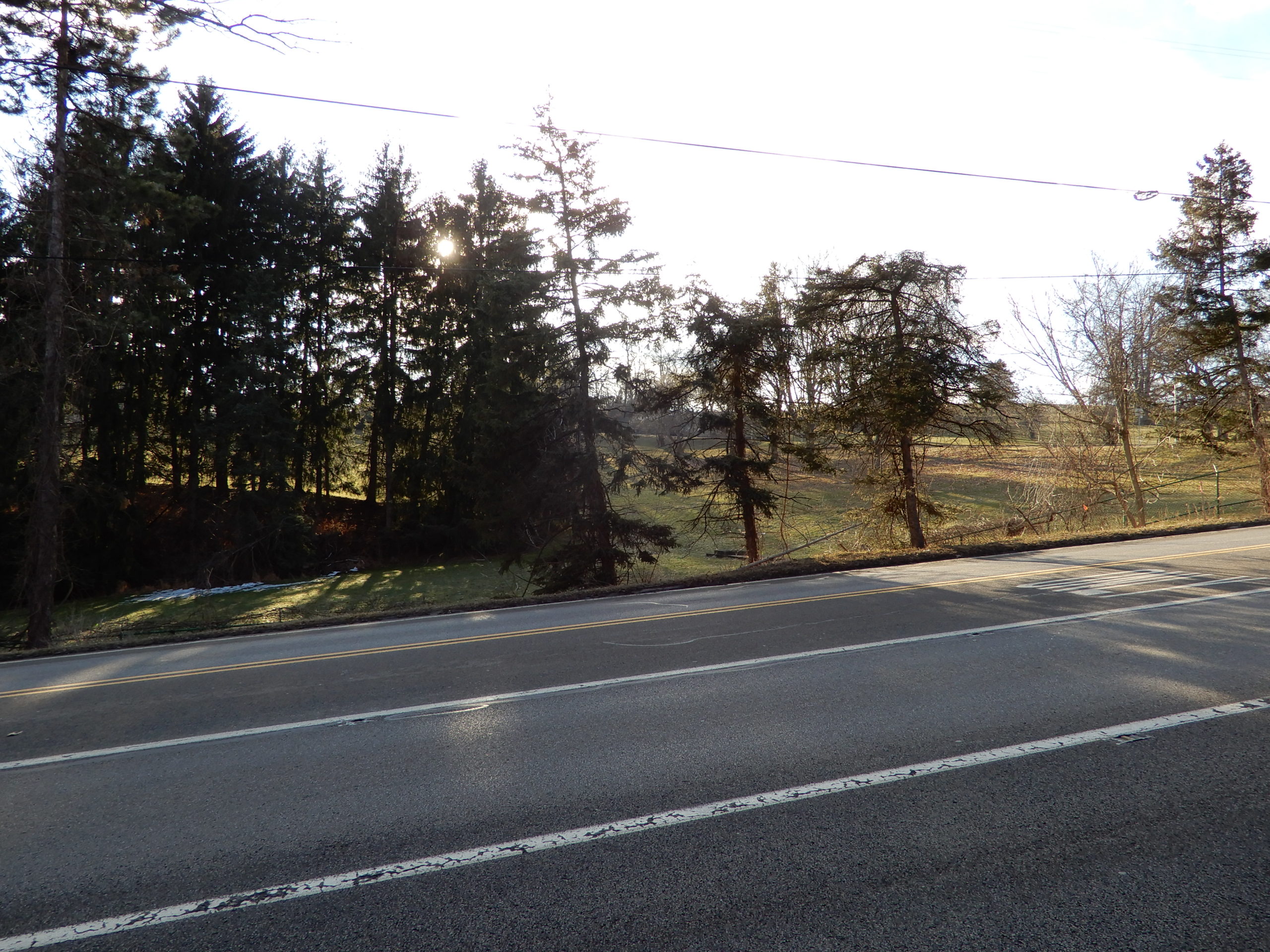
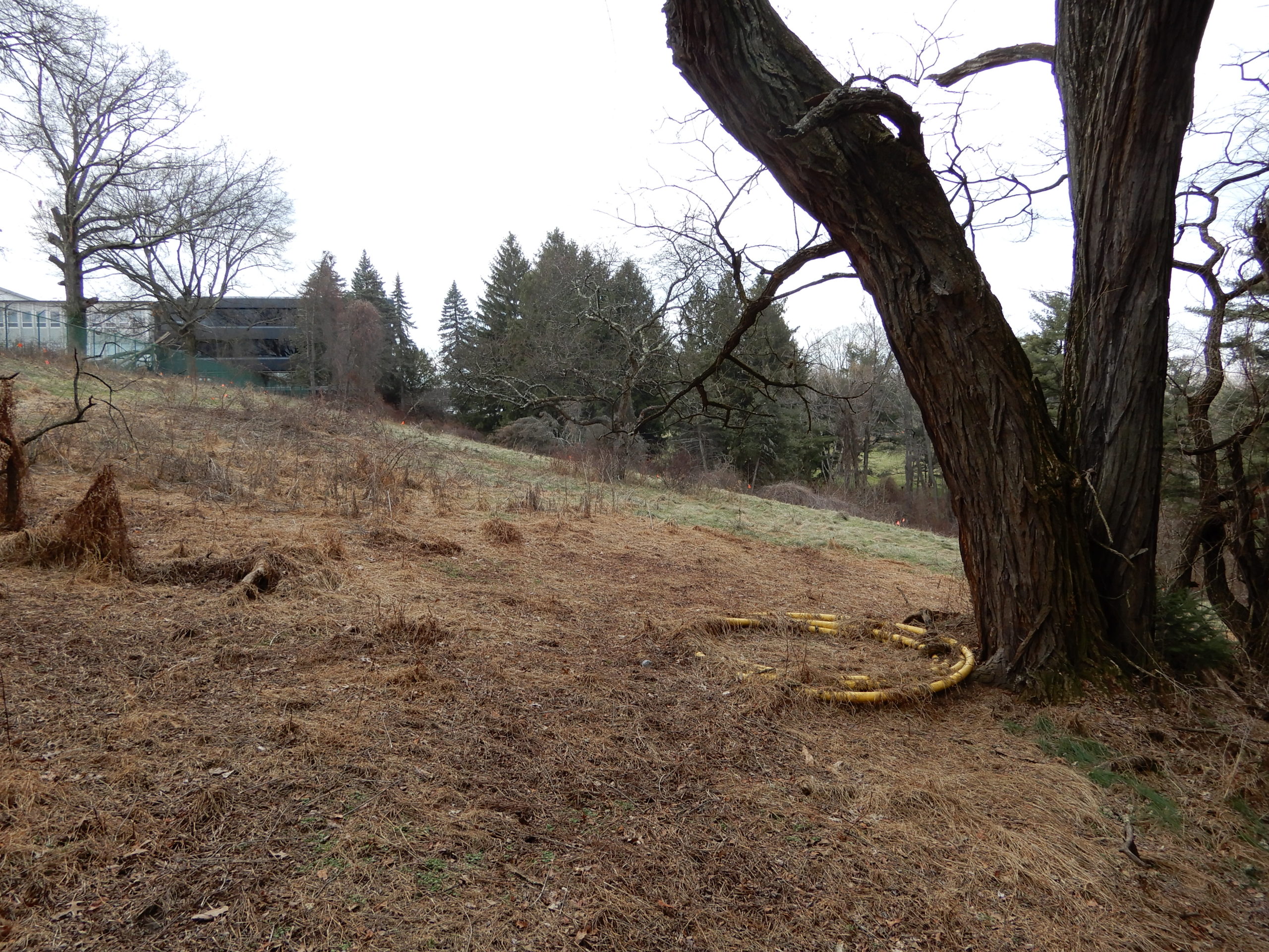
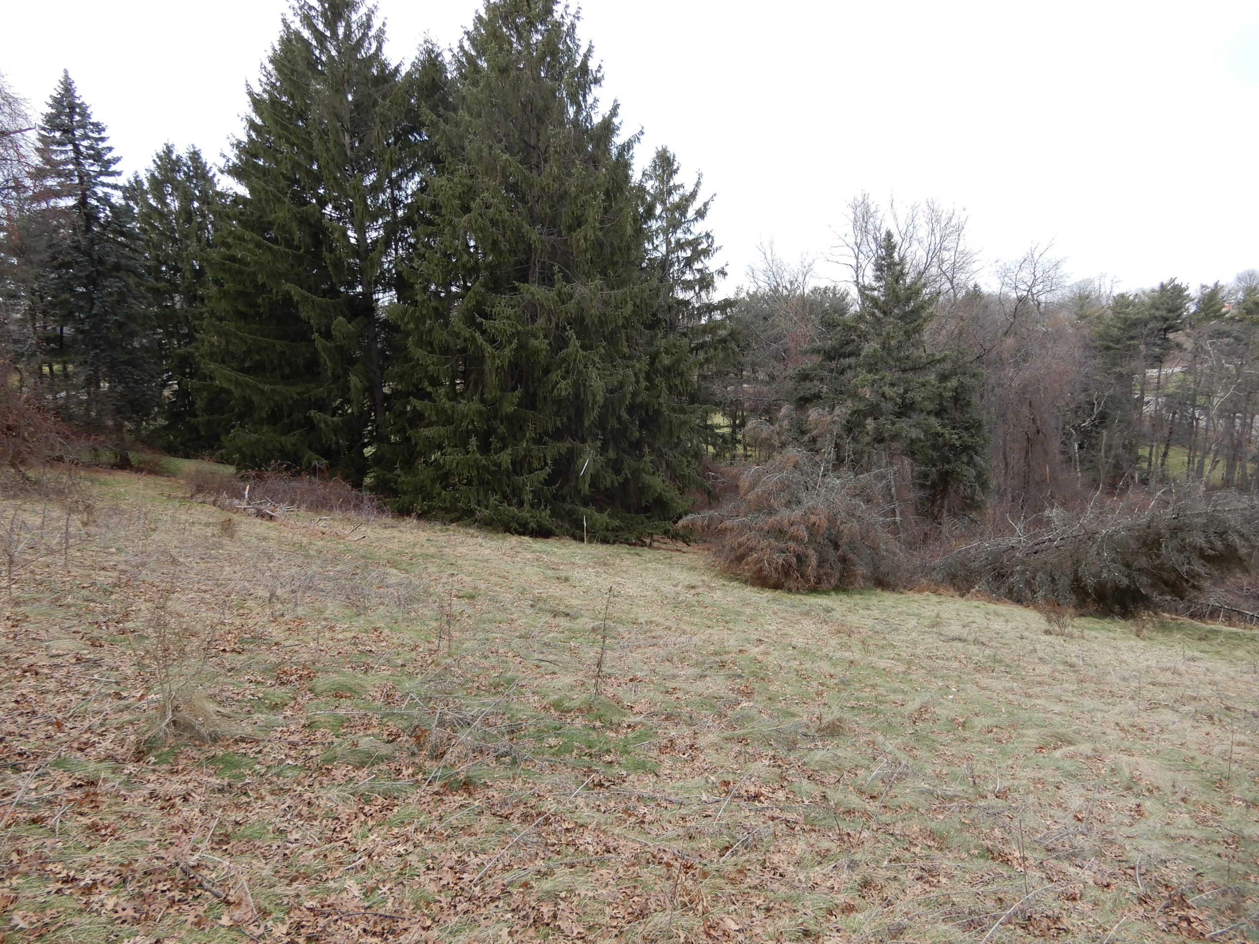
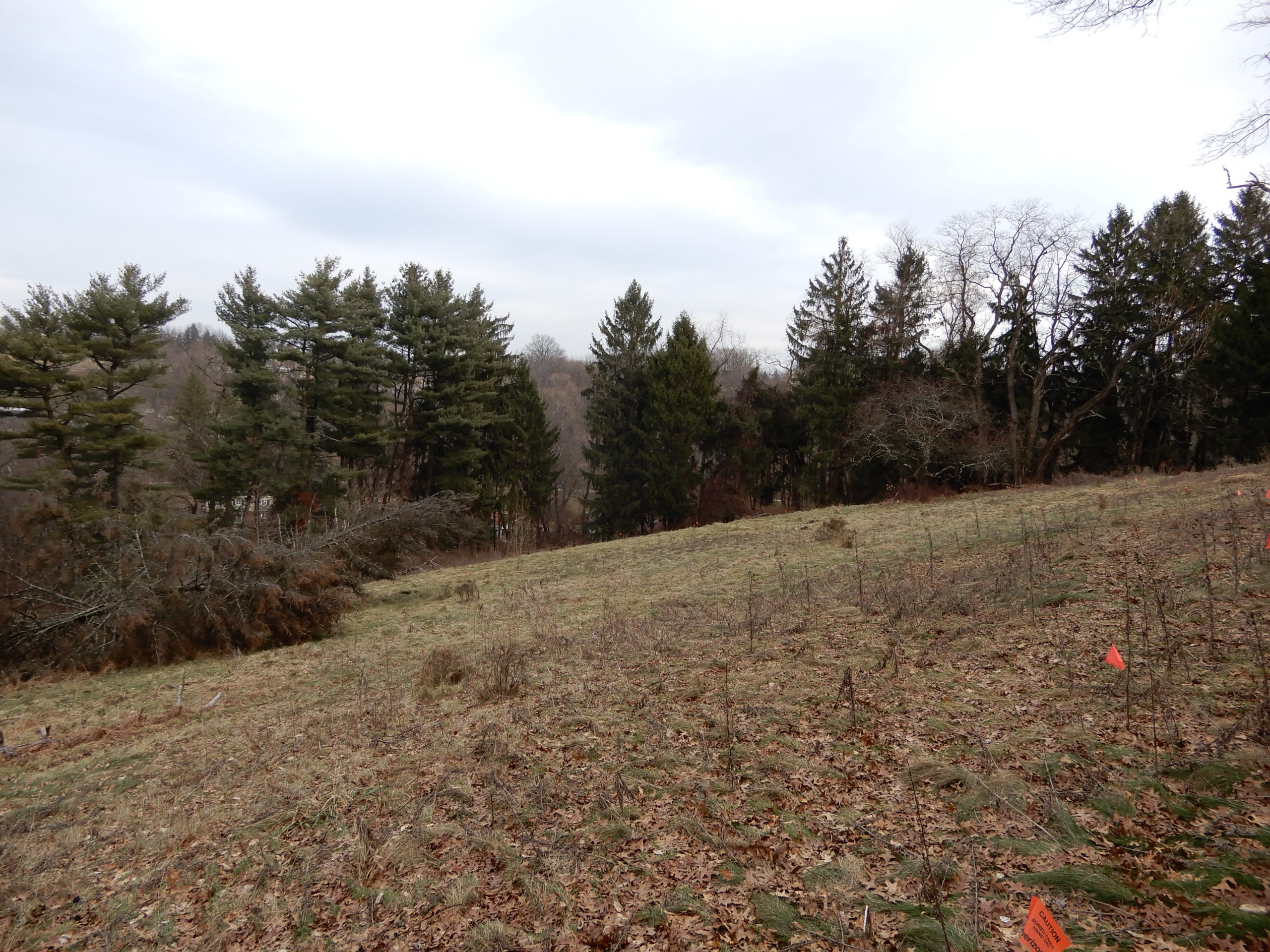
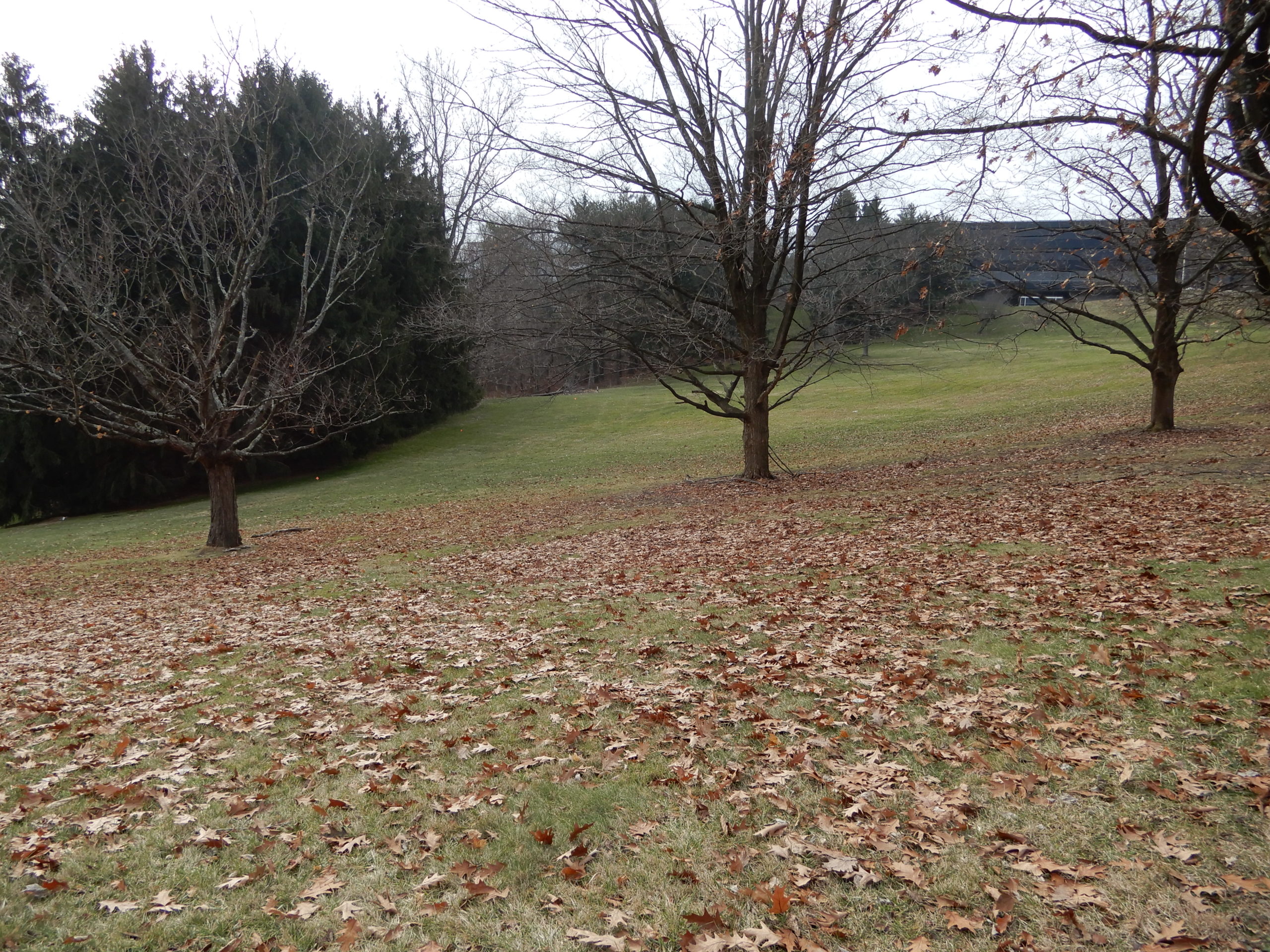
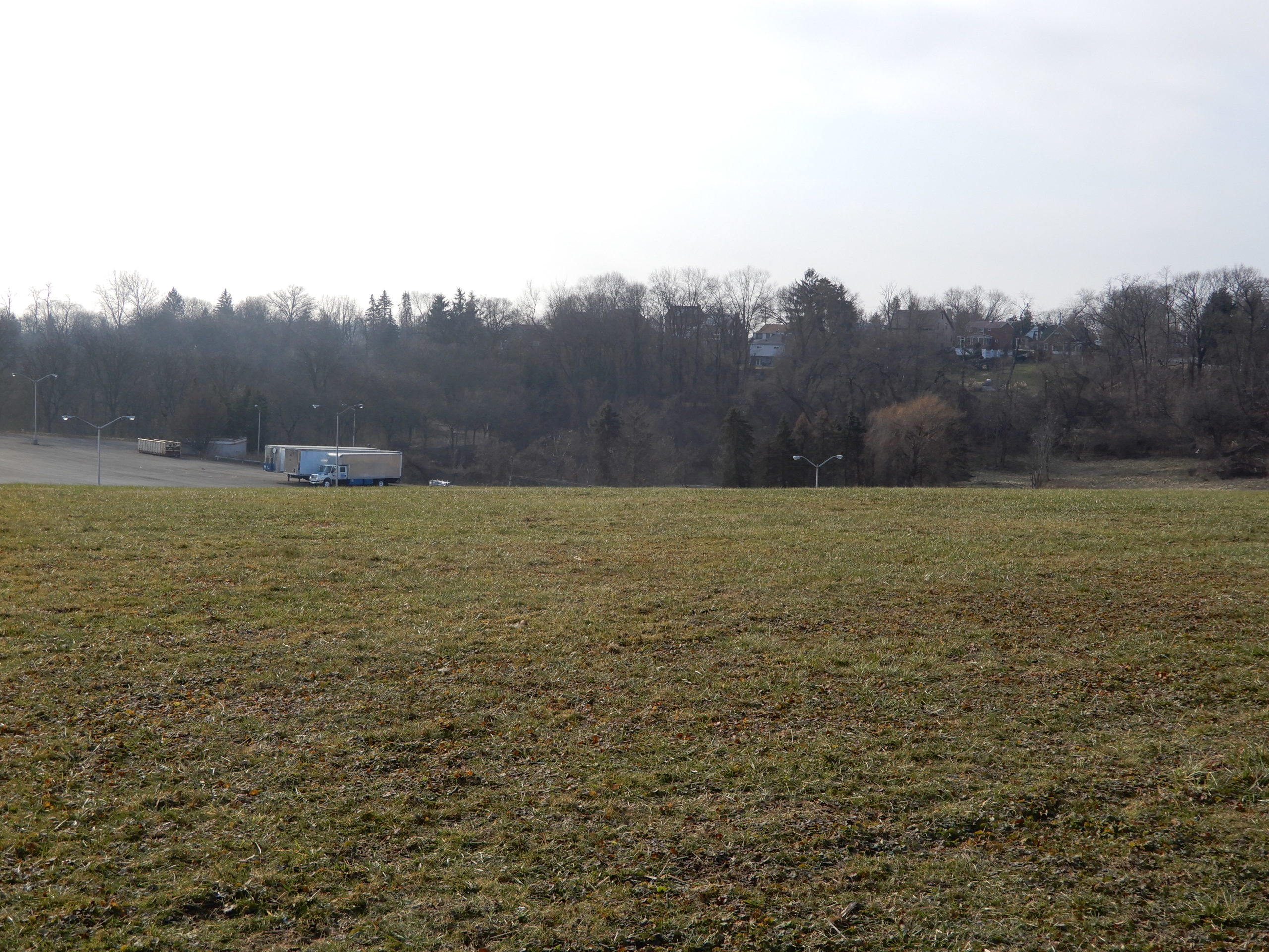
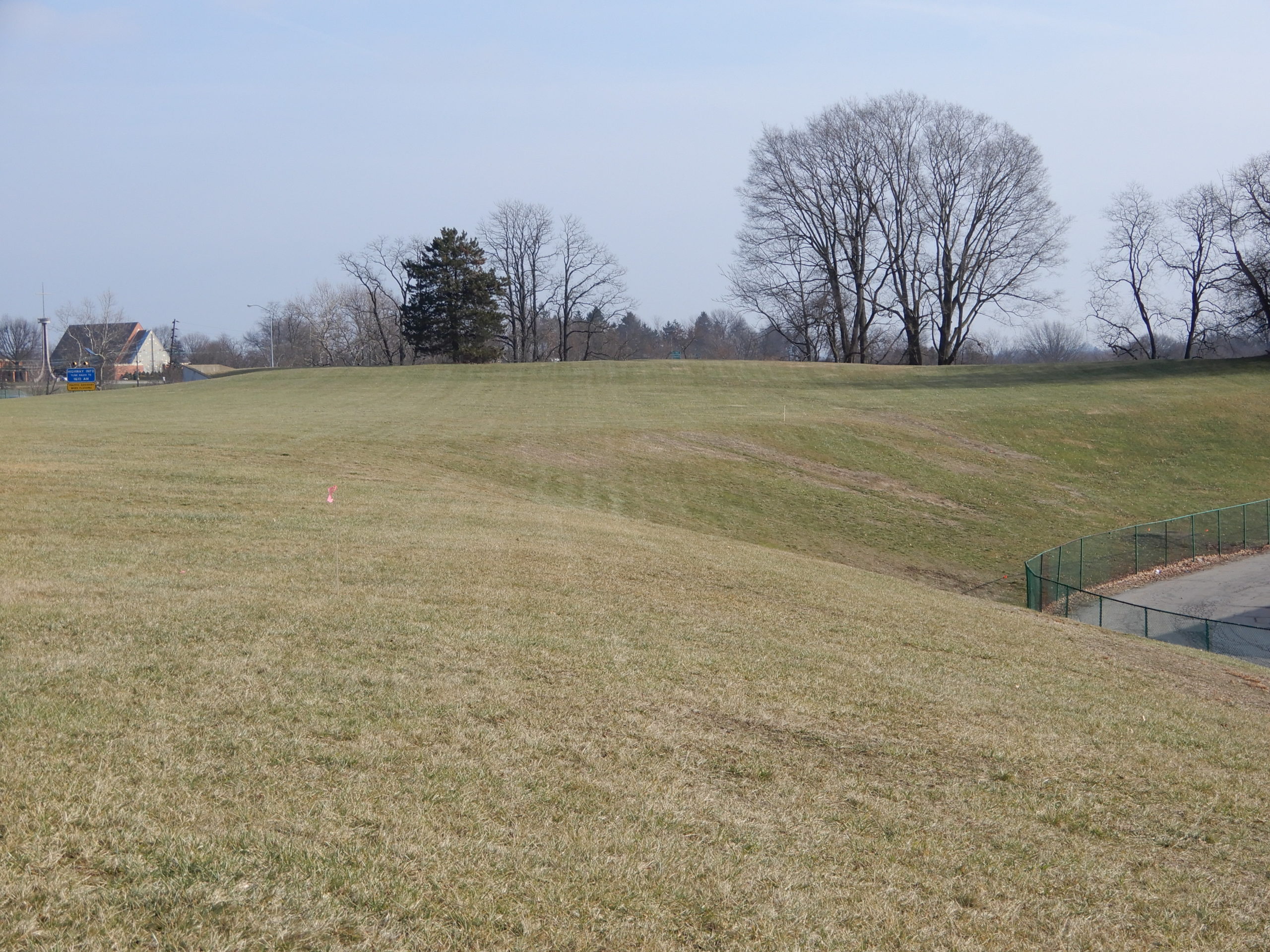
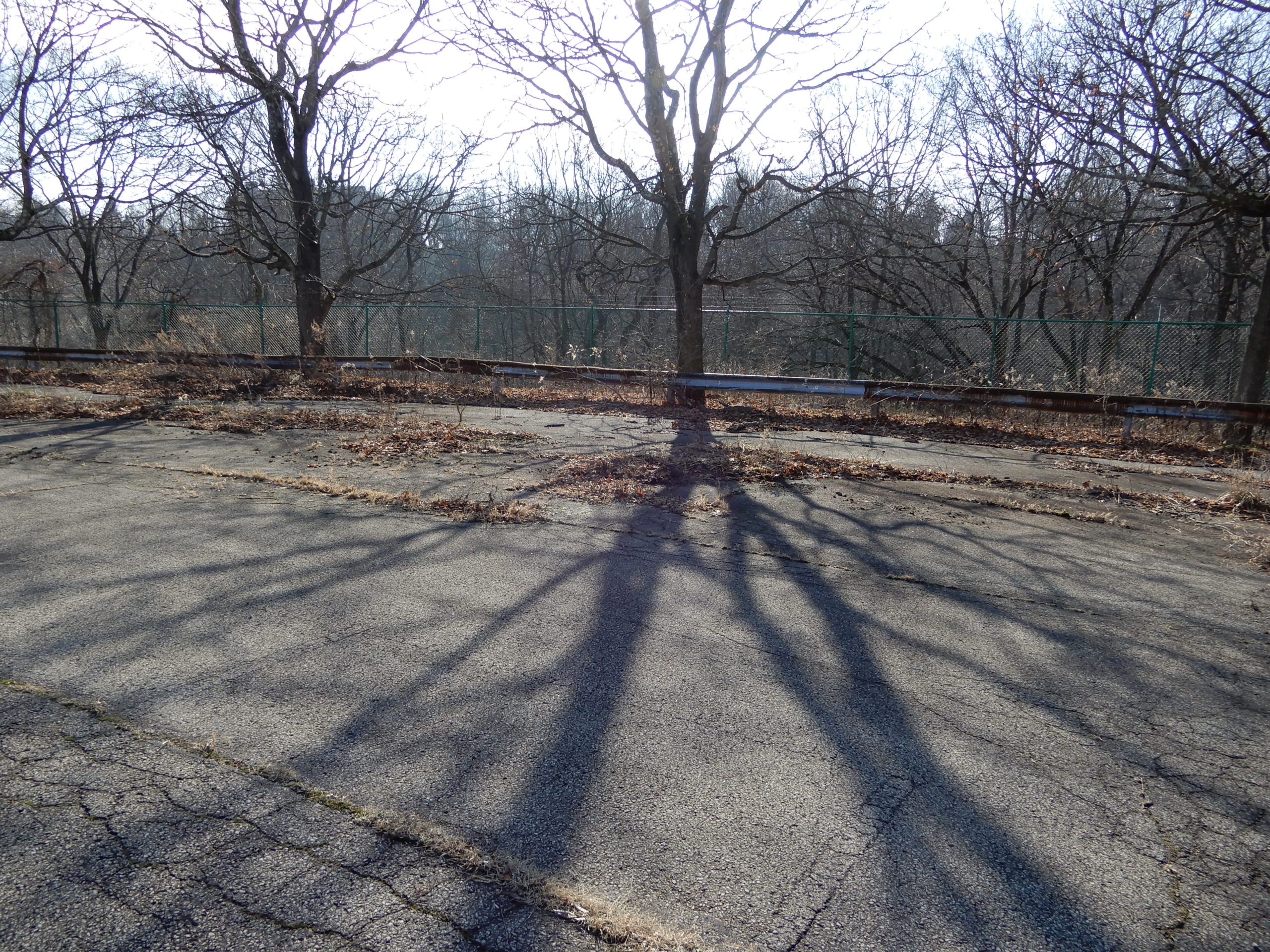
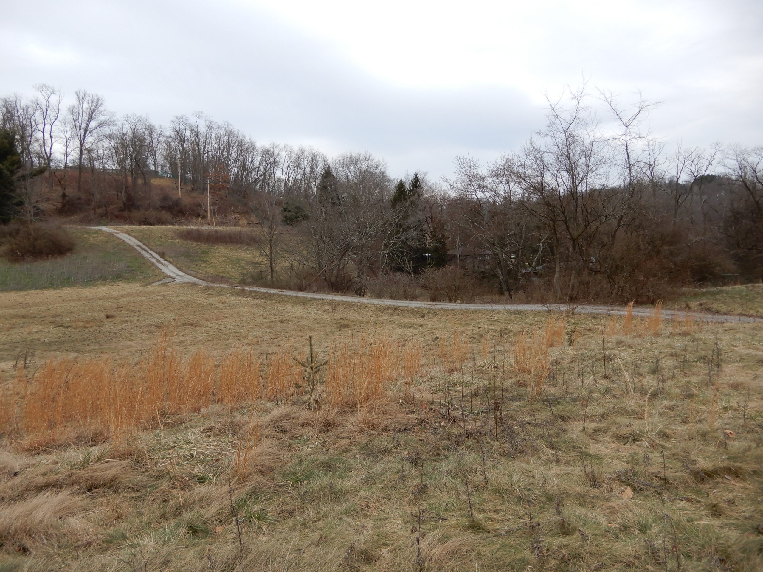
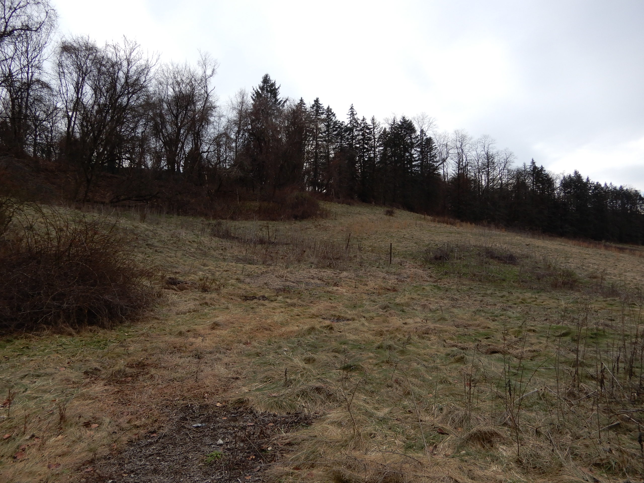
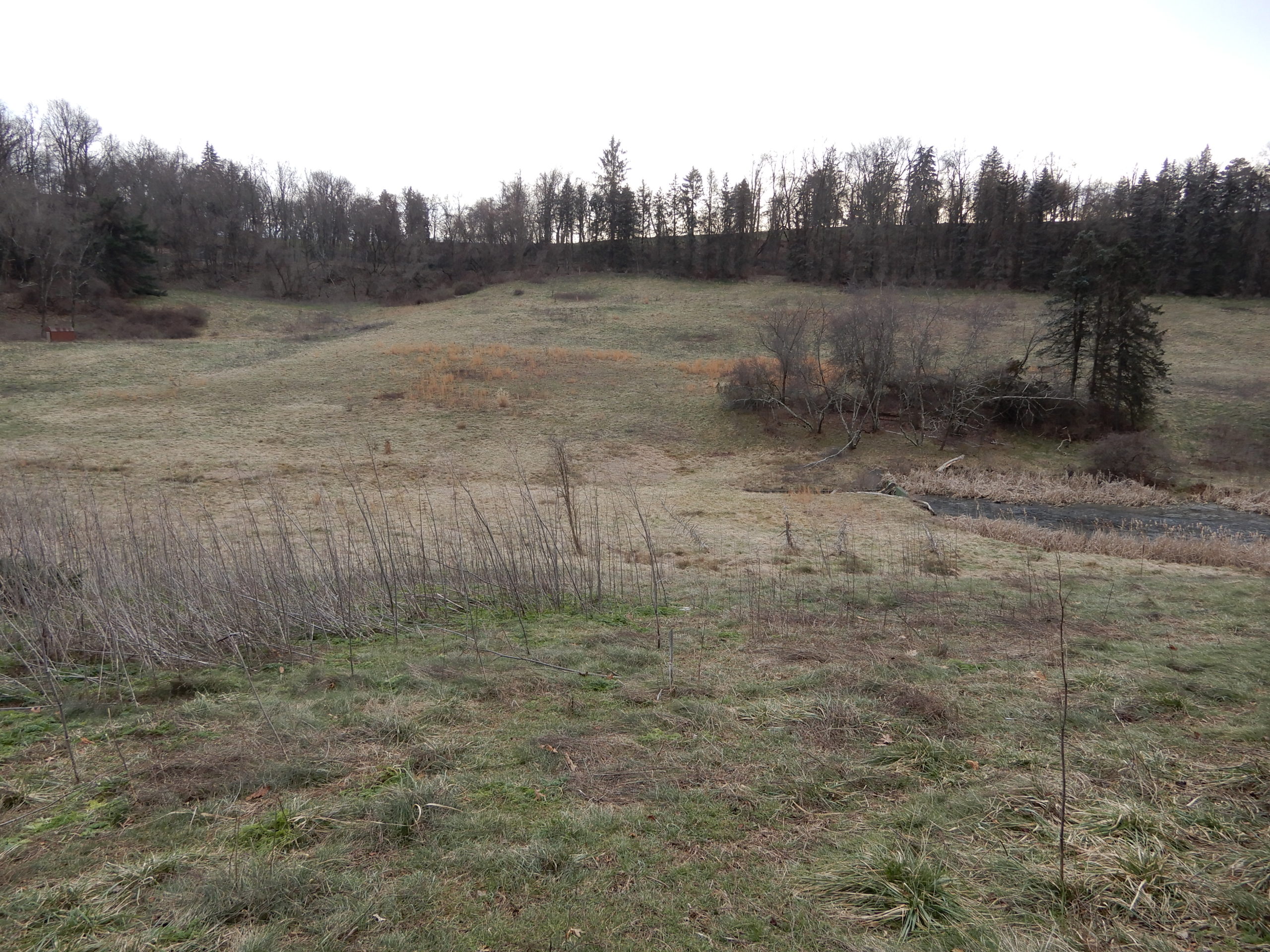
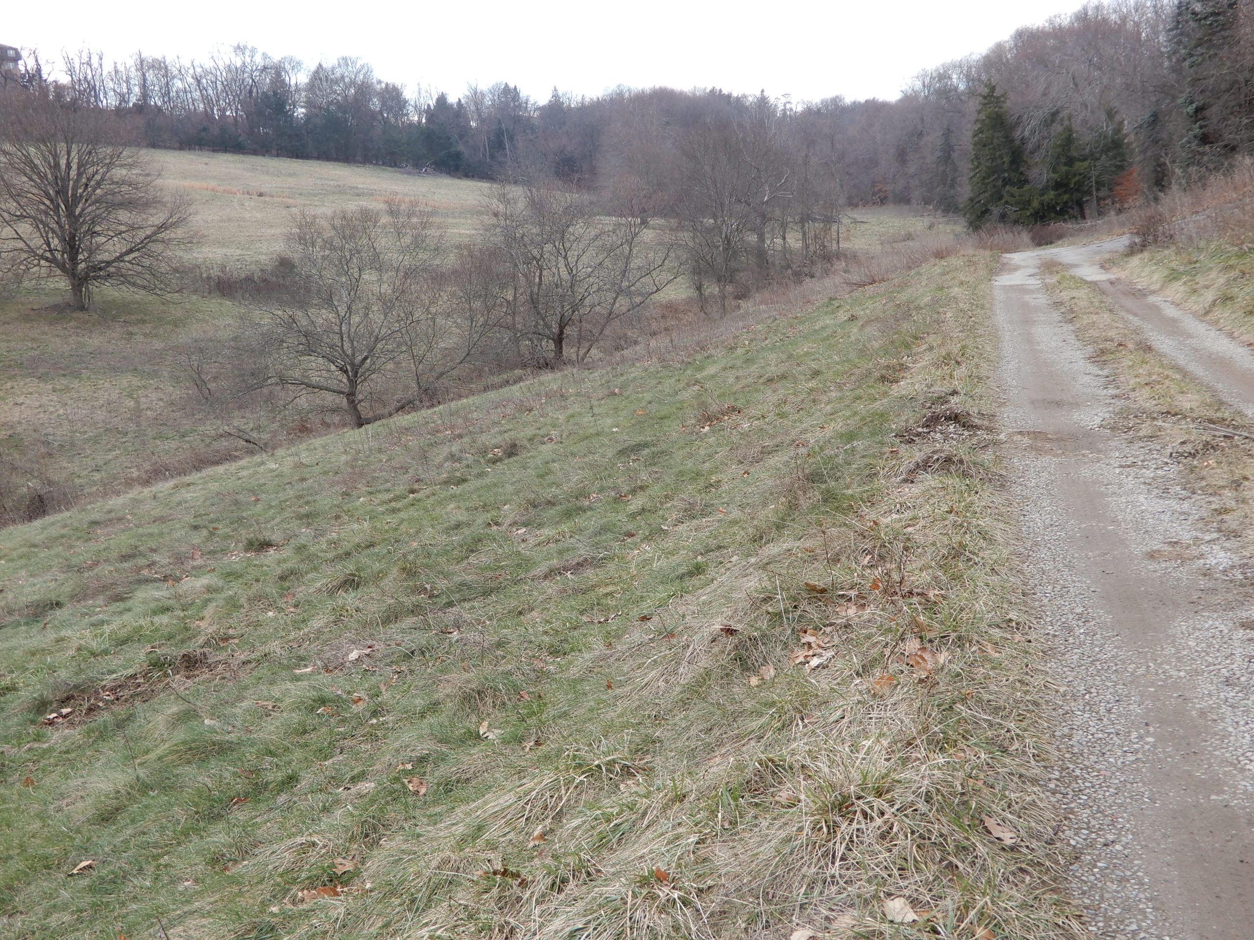
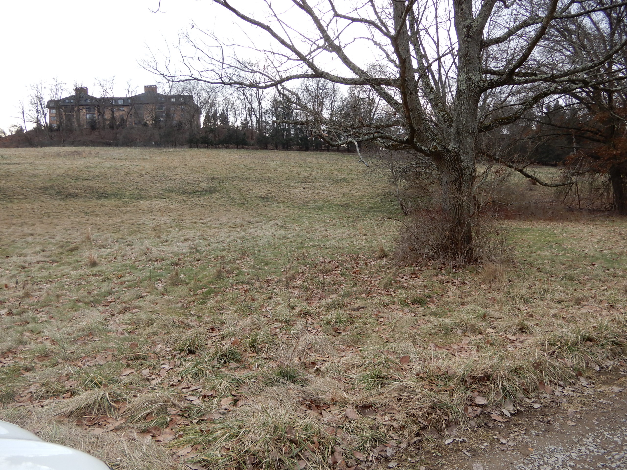
All of the rolling hills on the right going uphill, and then right turning to the lower section will also be removed and used as fill to flatten a new space for the actual warehouse and parking.
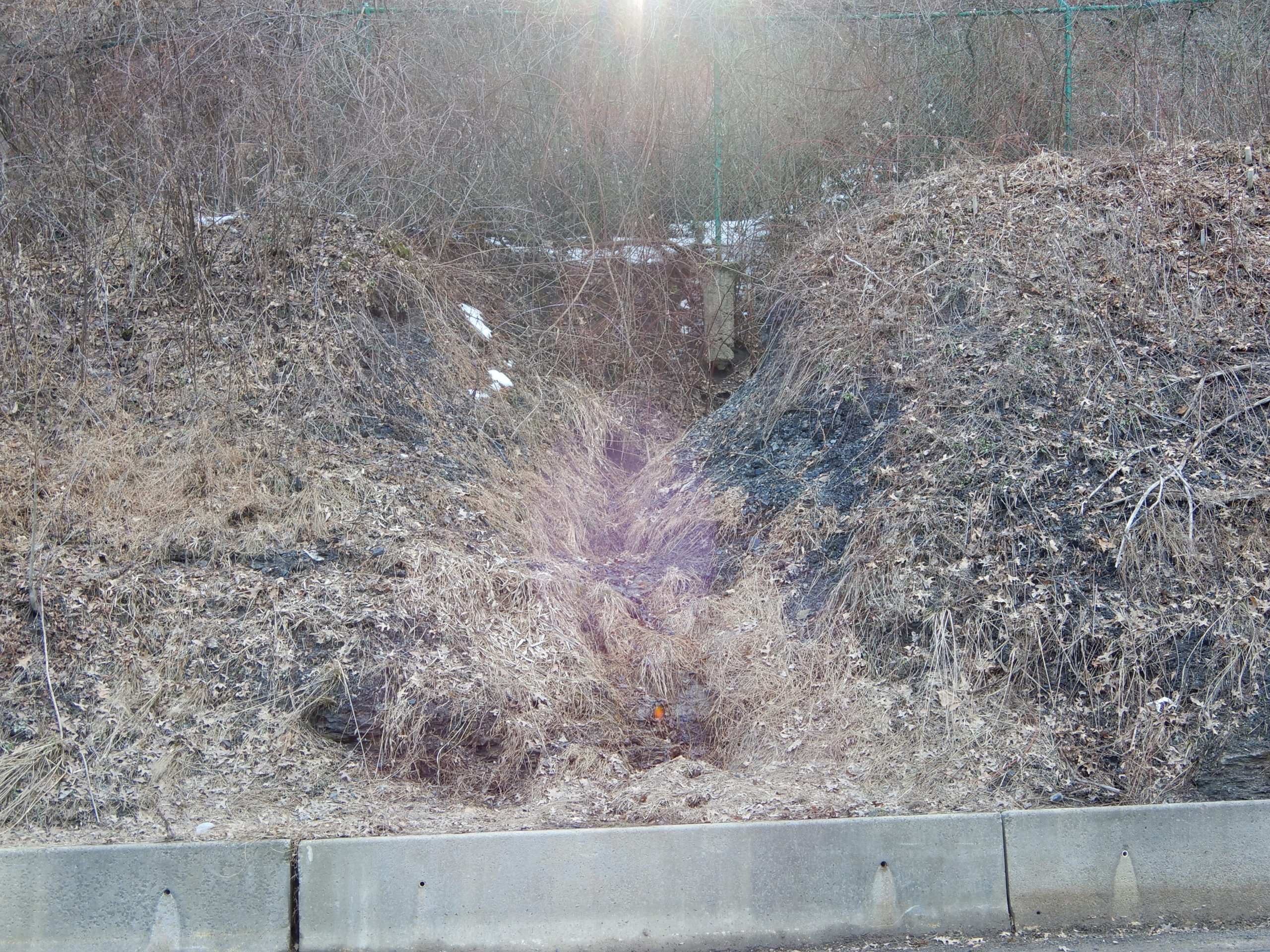
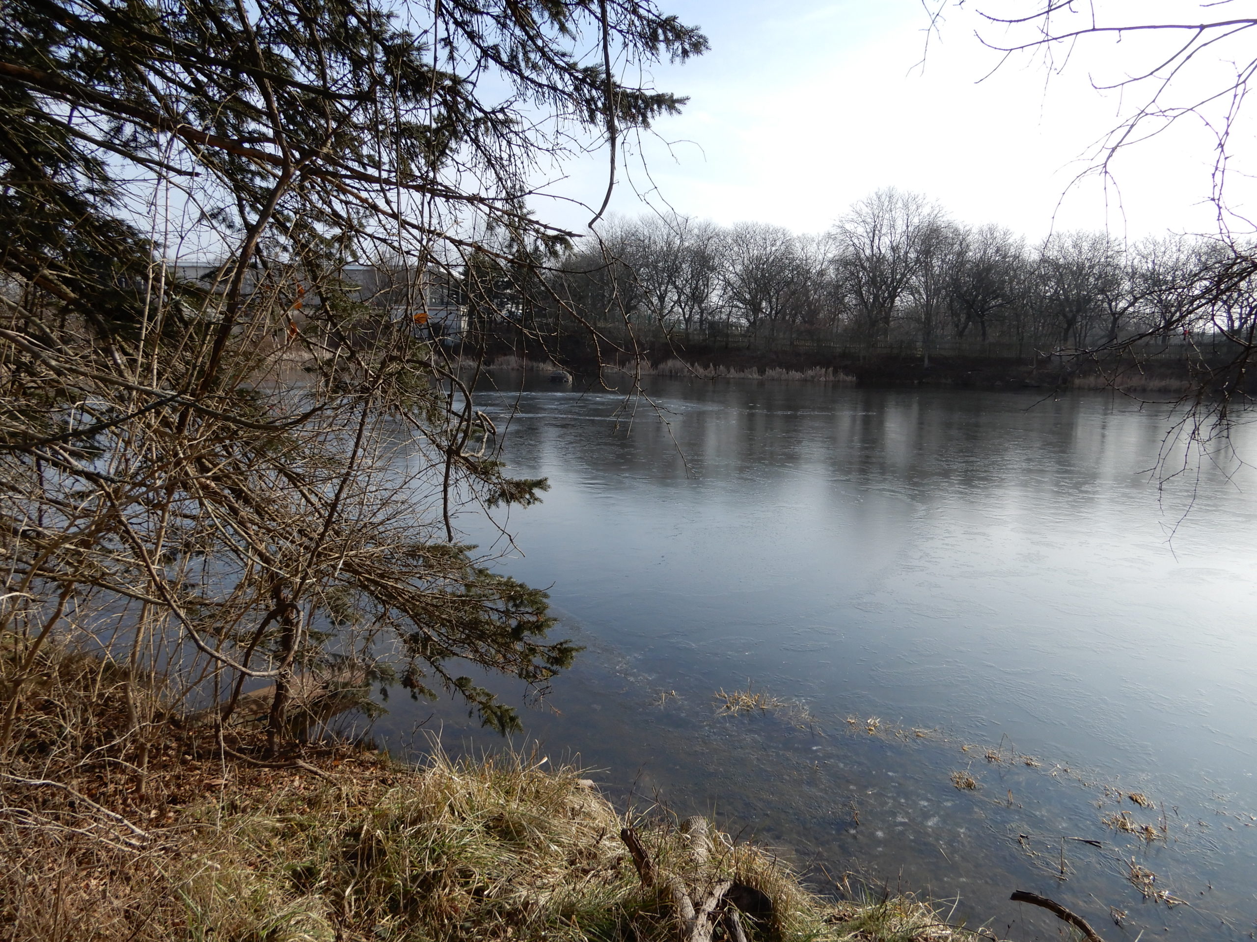
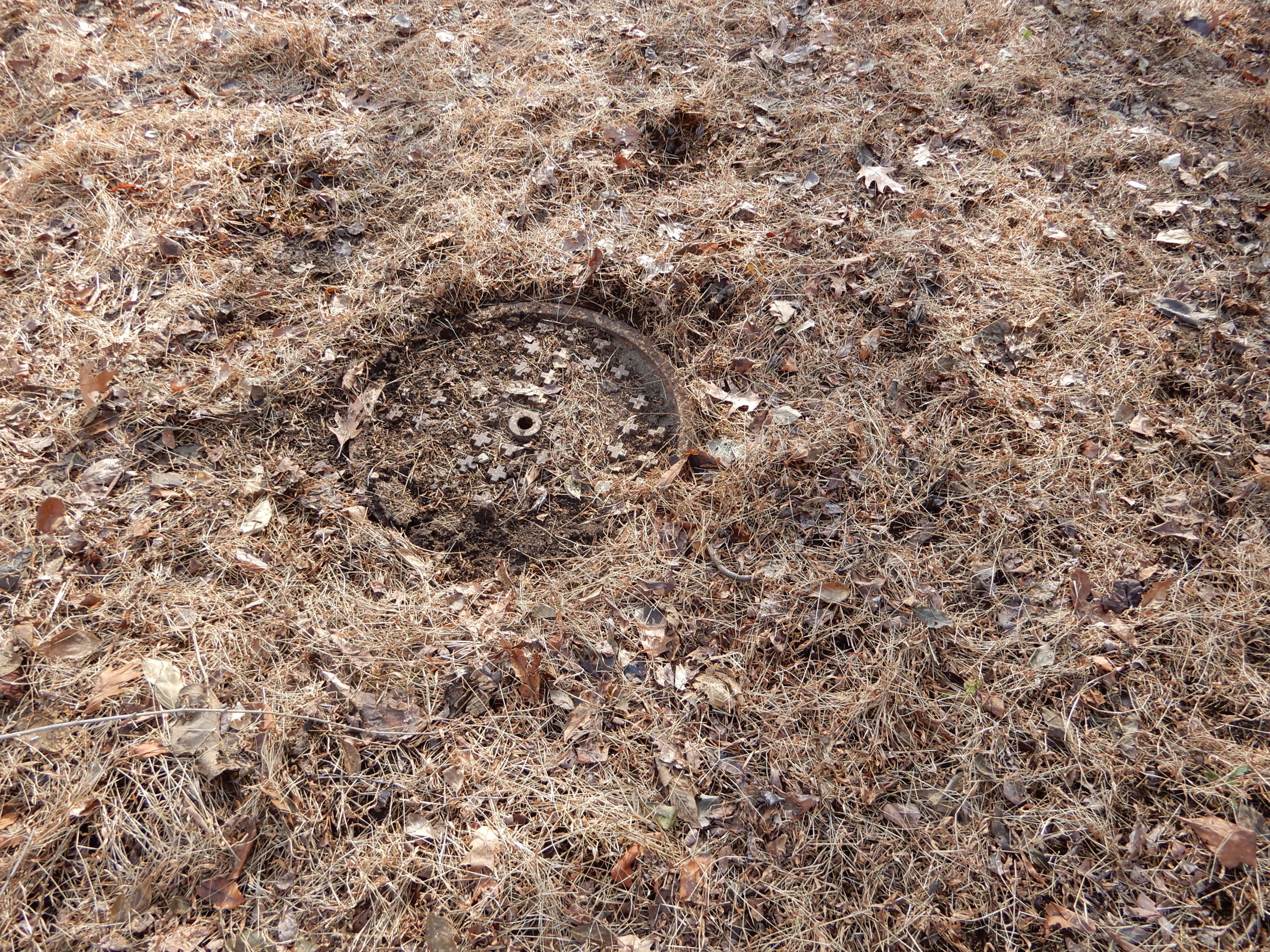
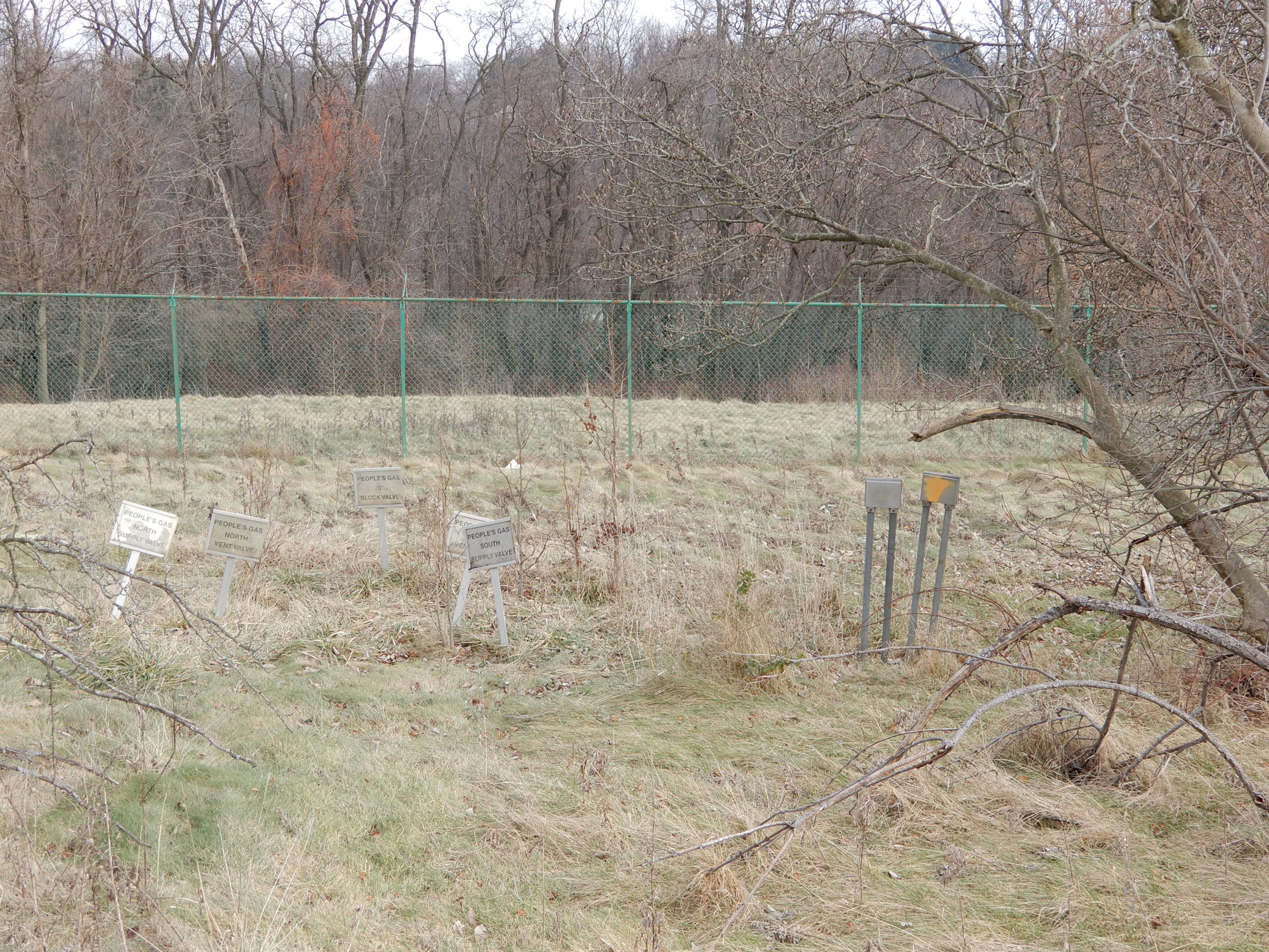
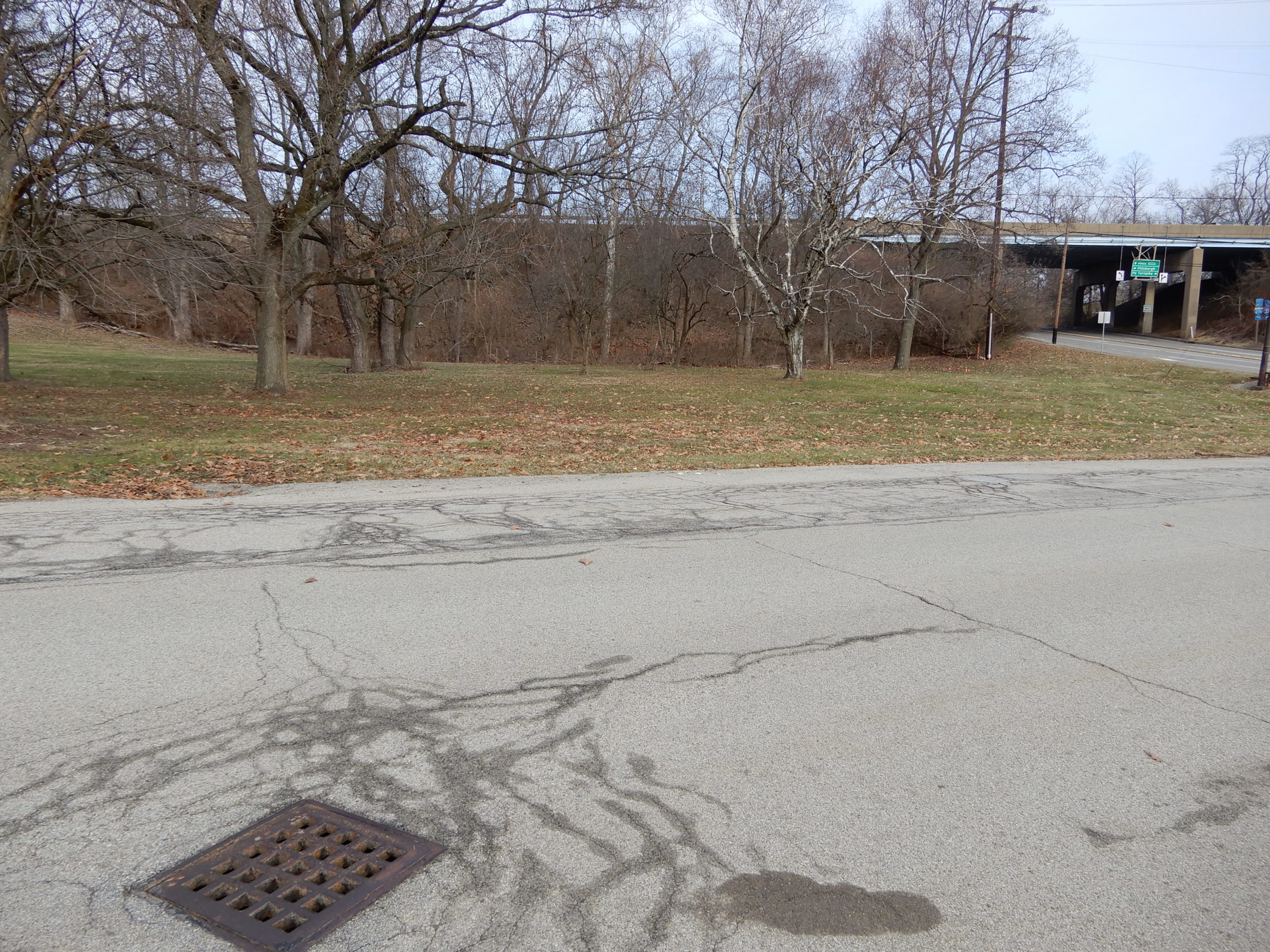
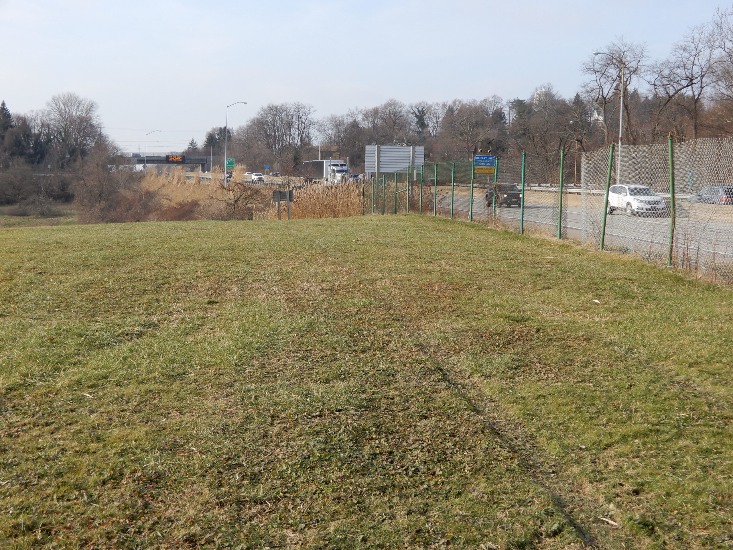
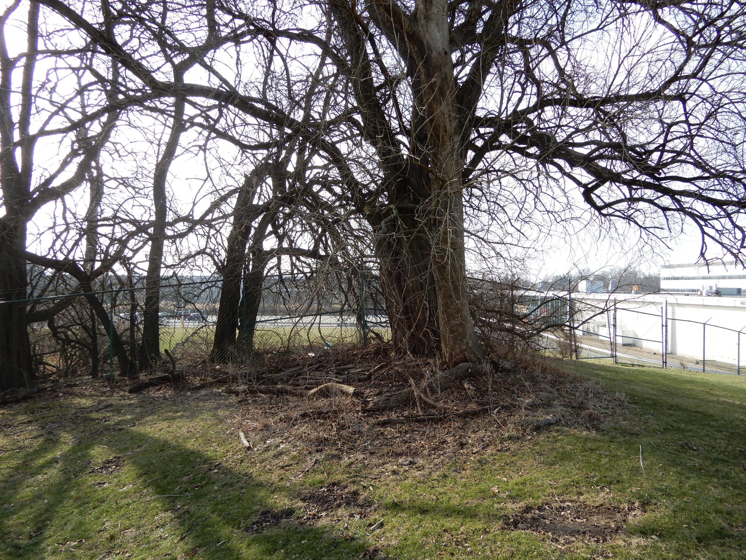
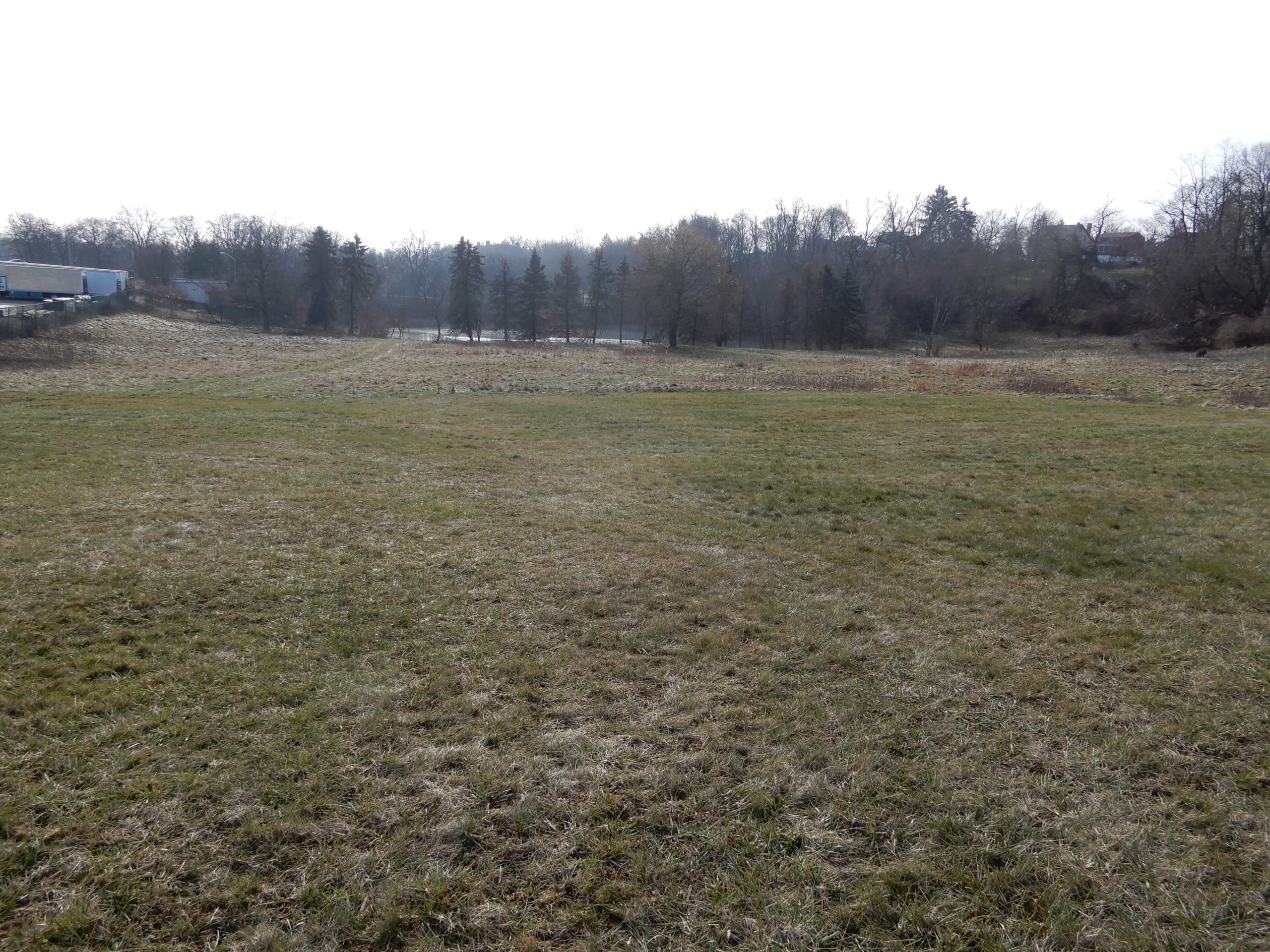
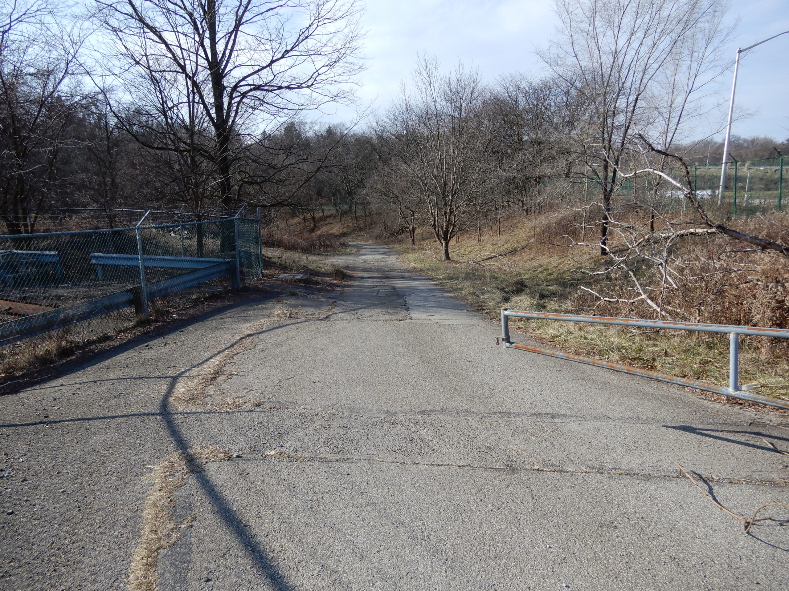
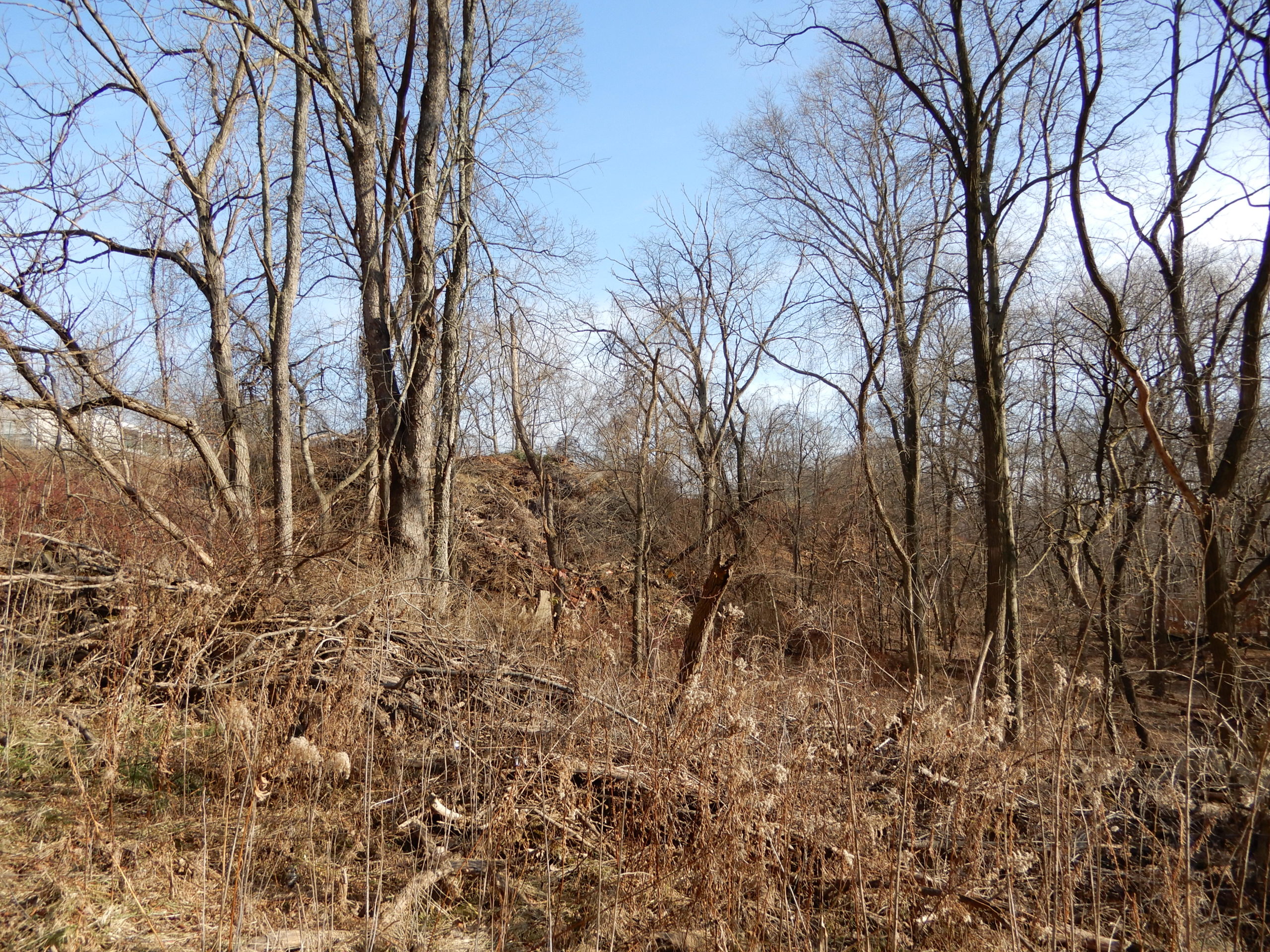
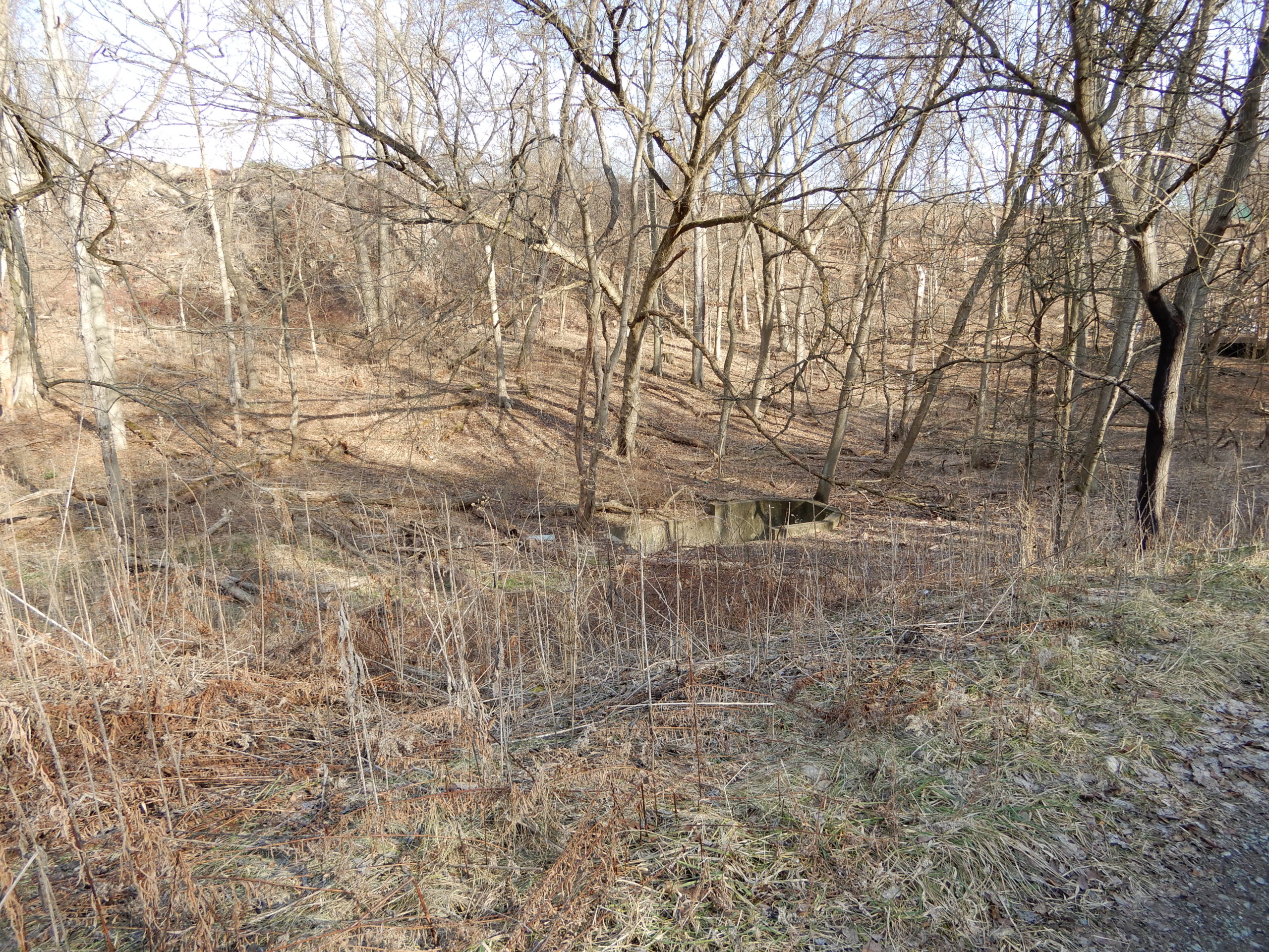
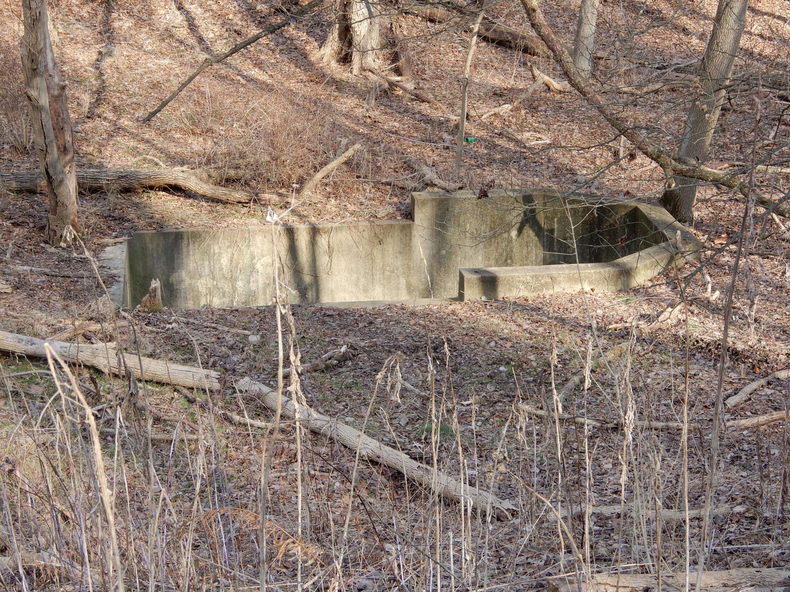
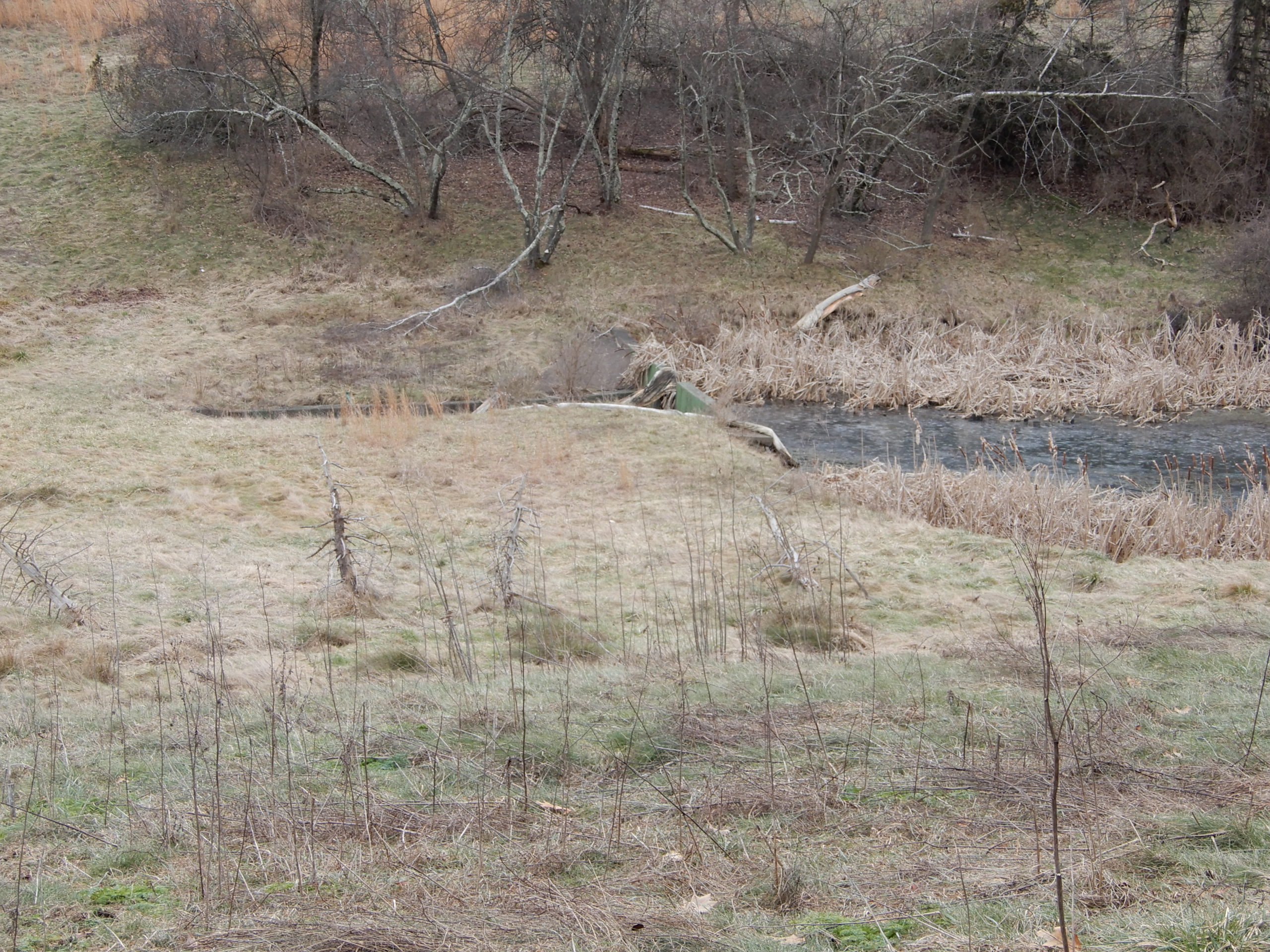
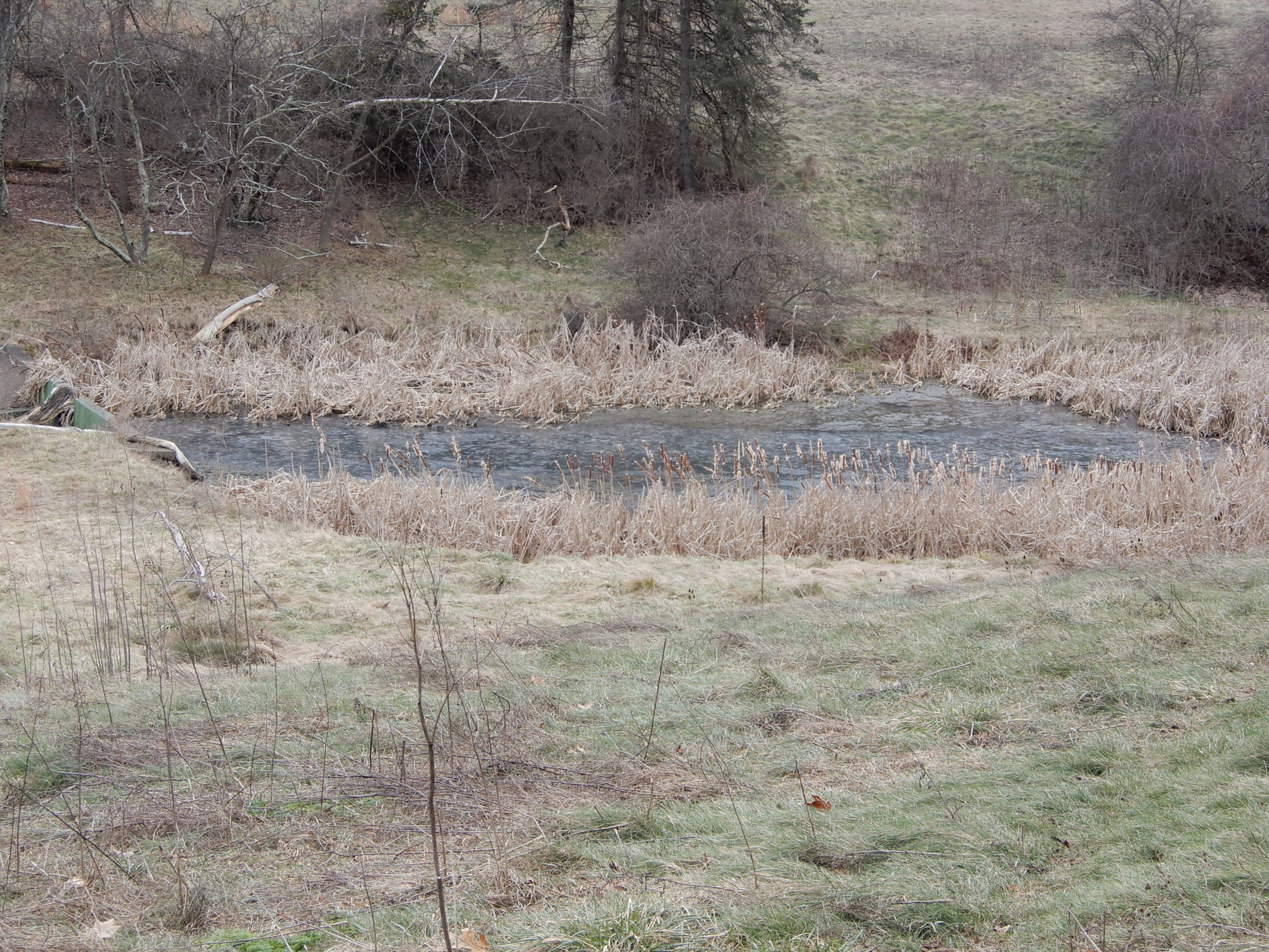
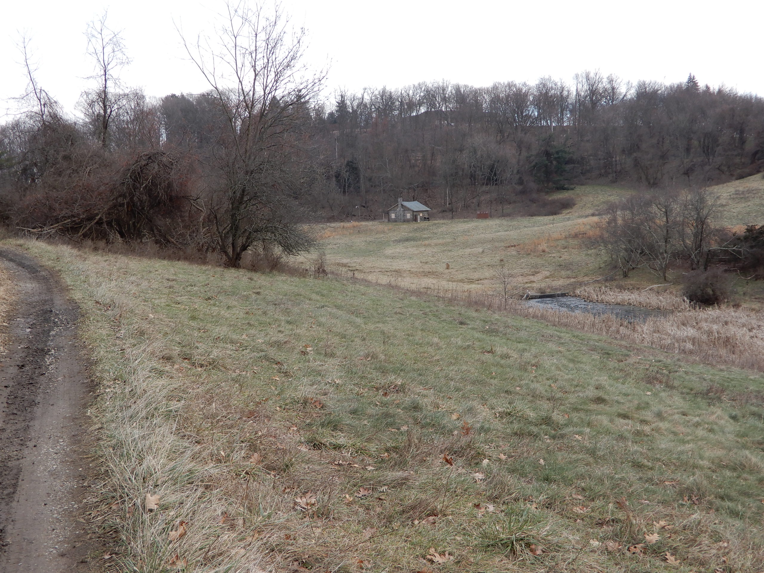
There is a natural creek there, but it will be constricted and a steep holding pond dug on the corner next to the parkway and Beulah. See the drawings.
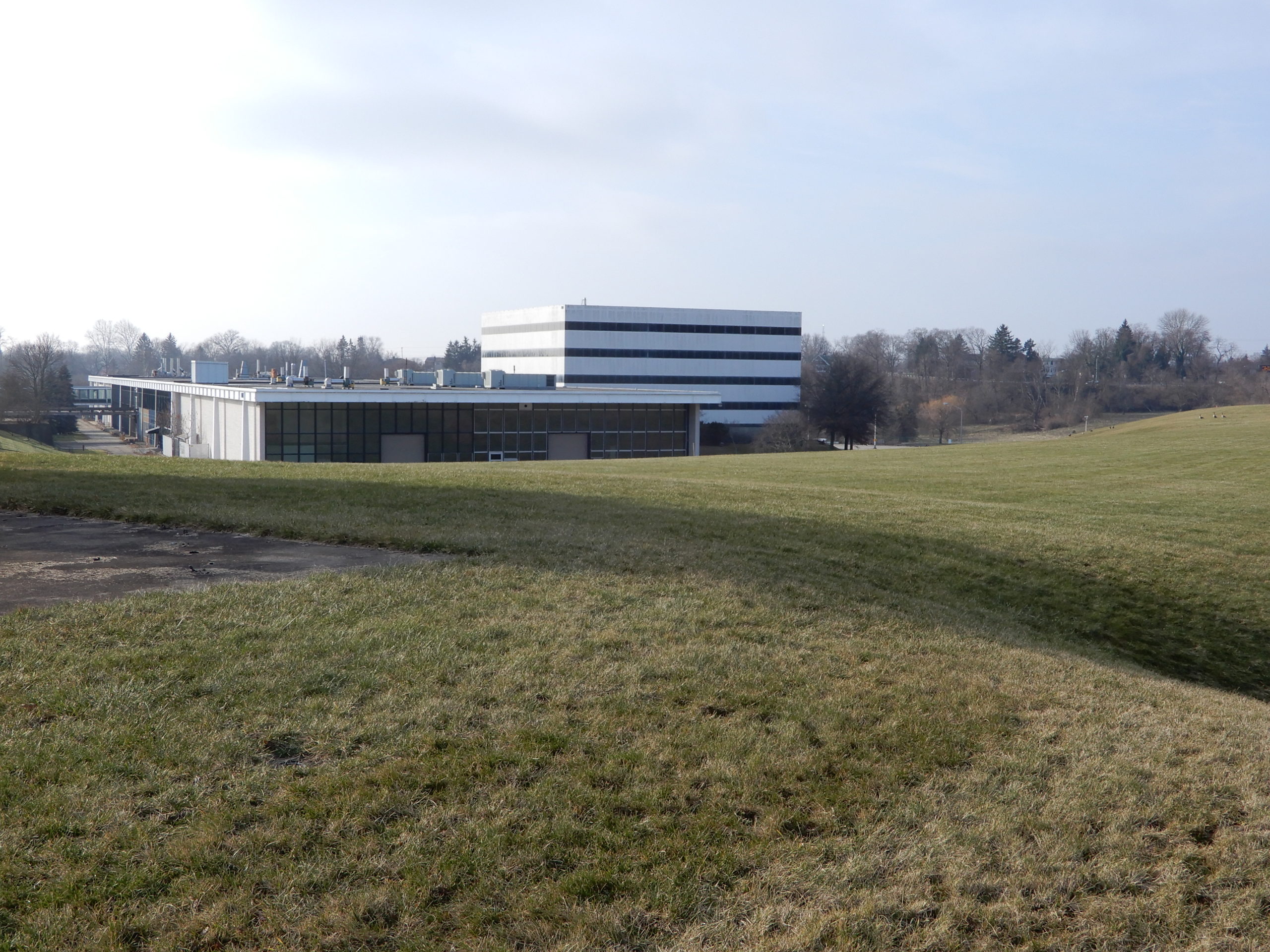
The entire complex will be about the same elevation as the lowest parking lot as seen from the parkway: Roughly 1210 to 1230 feet in elevation. Even though the entire area will be leveled to essentially a single elevation, the 120-foot building will still be taller than anything currently existing on the property.
There is some confusion about 4 levels, interpreted as 4 actual floors. This building will be 120 feet in height, which is actually 4 distribution centers with 30 foot height ceilings, built one on top of the other, plus another level that they call one half. That is not 4 floors, the entire building is 12 floors in height.
Only by totally bulldozing the entire areas and building out with fill and retaining walls, can such a footprint building of 630,000 sf plus all the parking and roads be accommodated. Considering that the local topography is unstable, to begin with, the stability of the fill areas, which are extensive, is an open question. Also unknown is the effect of the old coal mine shaft located at about 1100 foot level beneath the site.
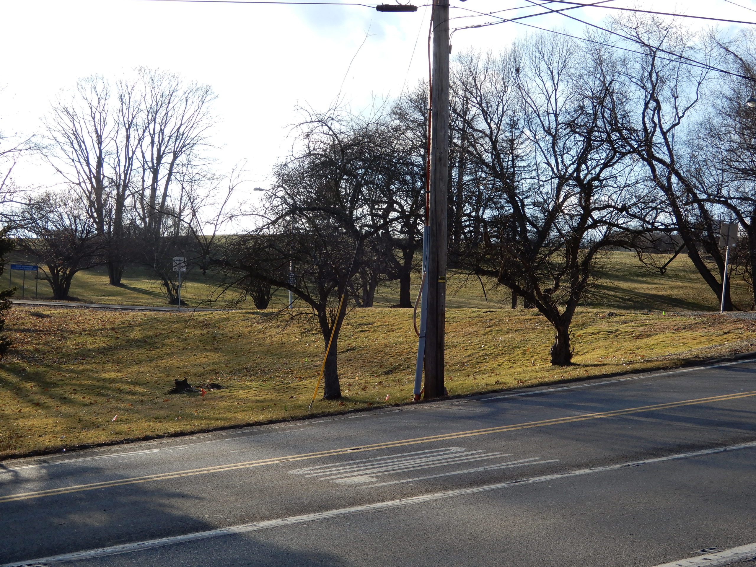
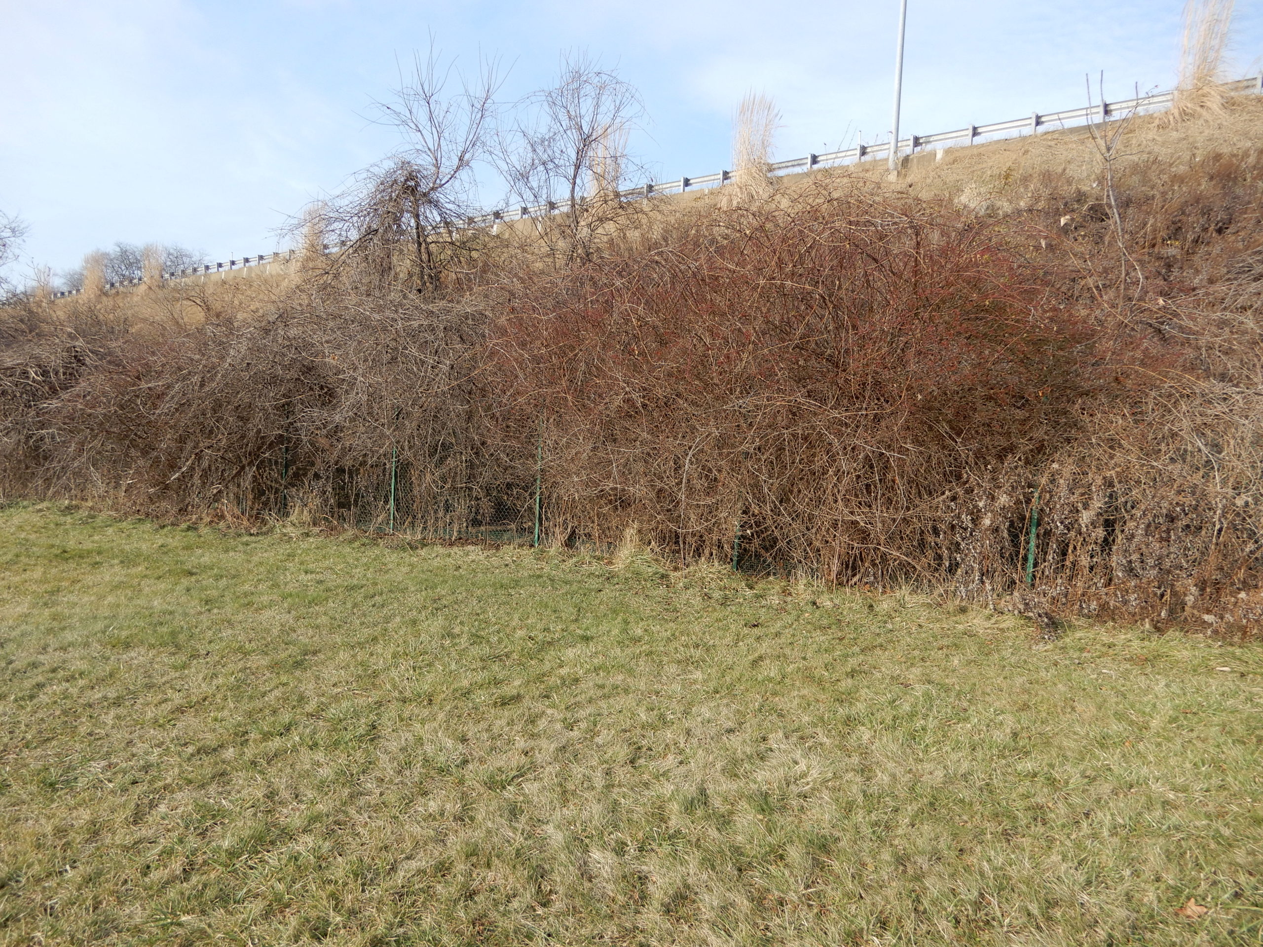
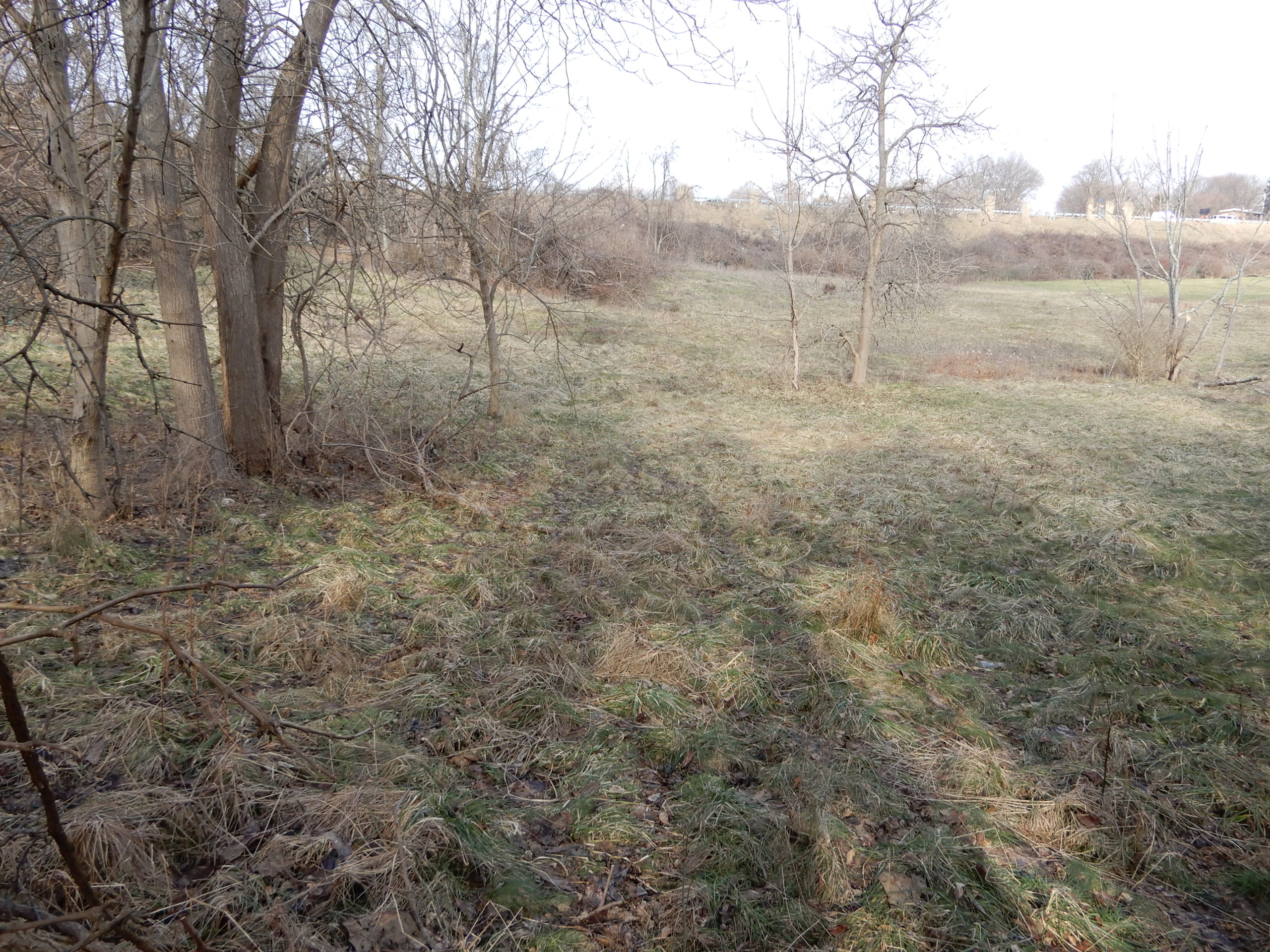
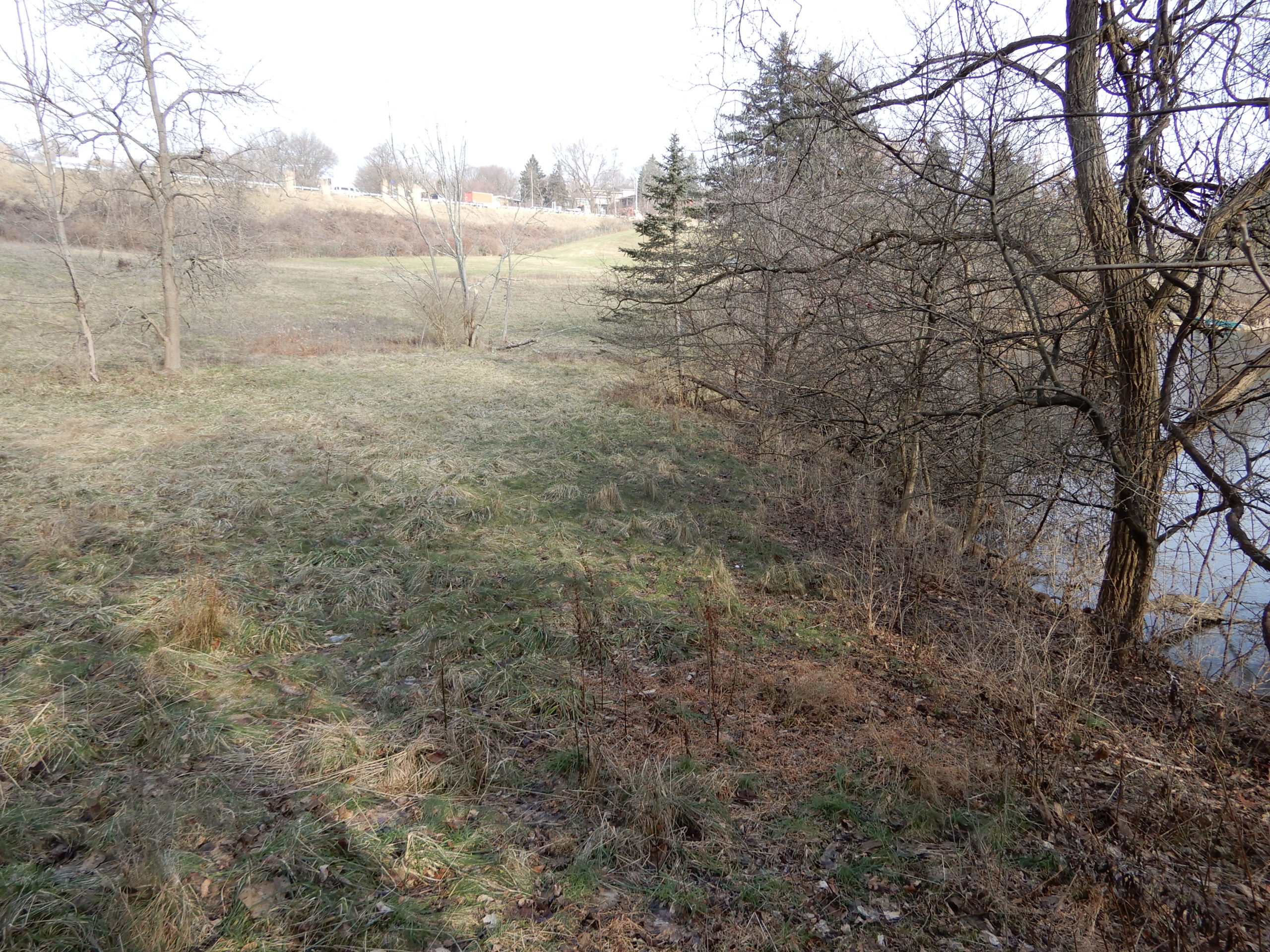
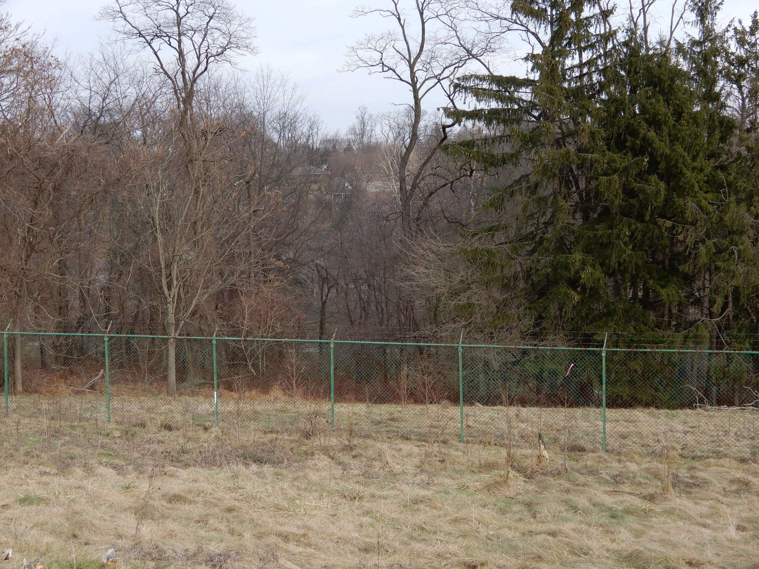
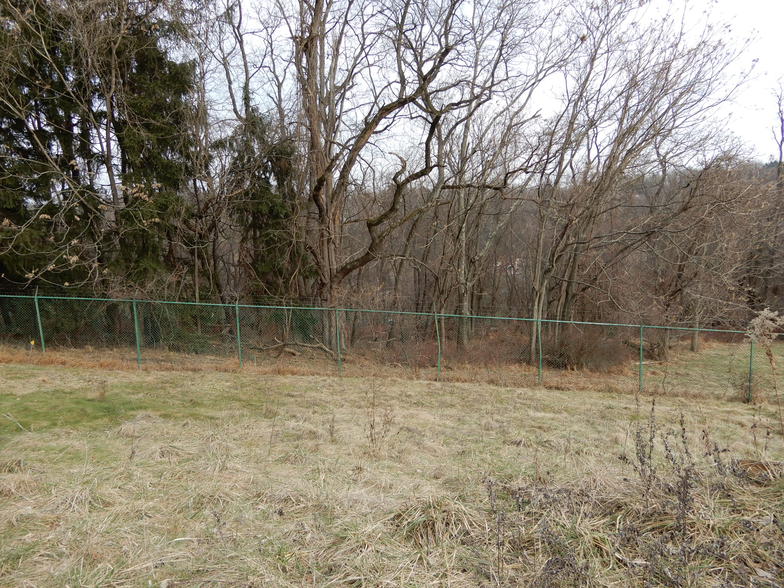
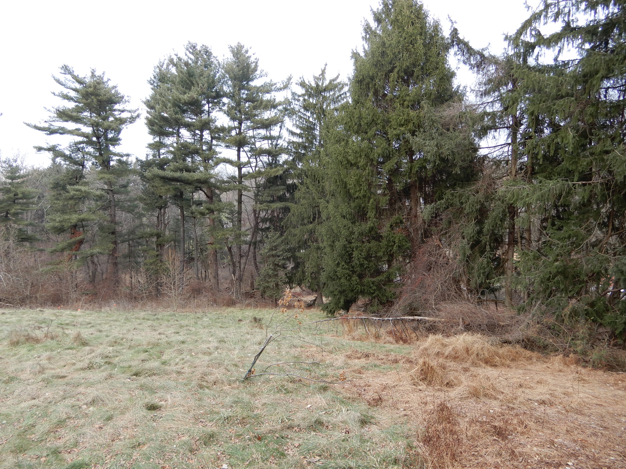
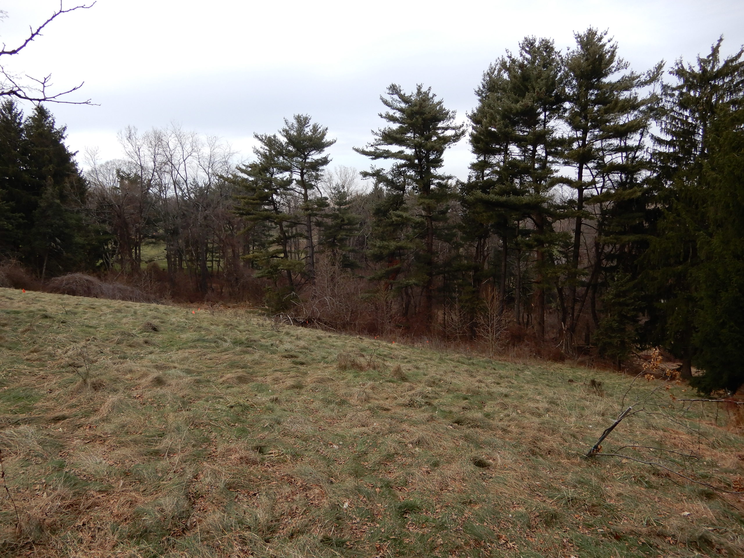
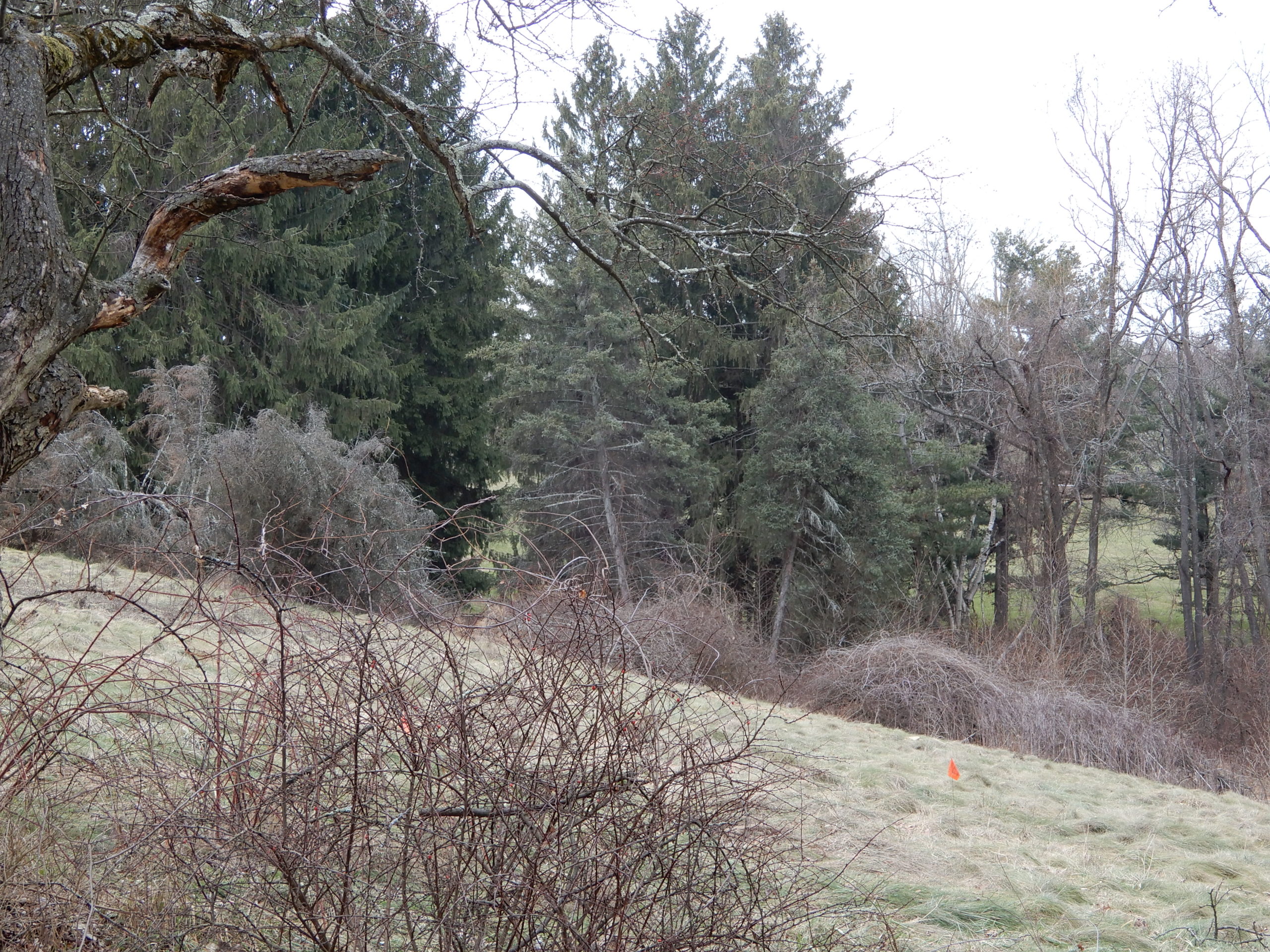
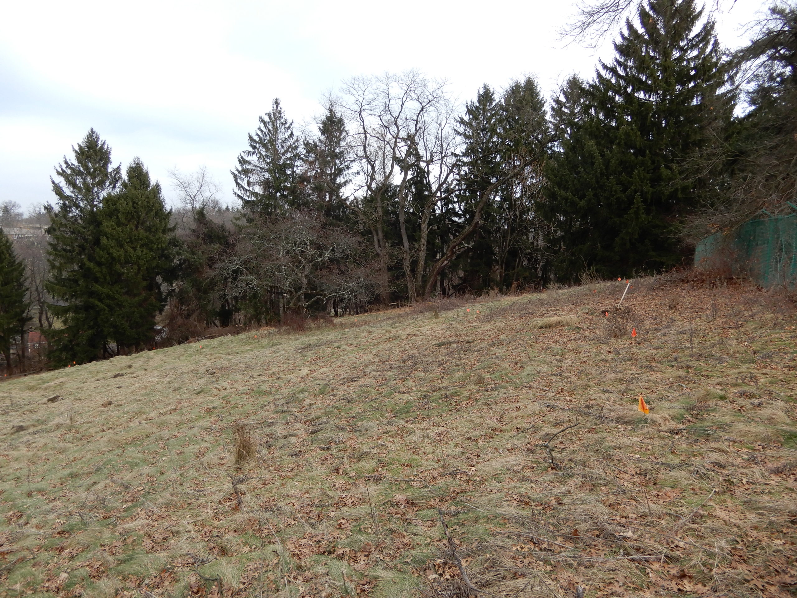
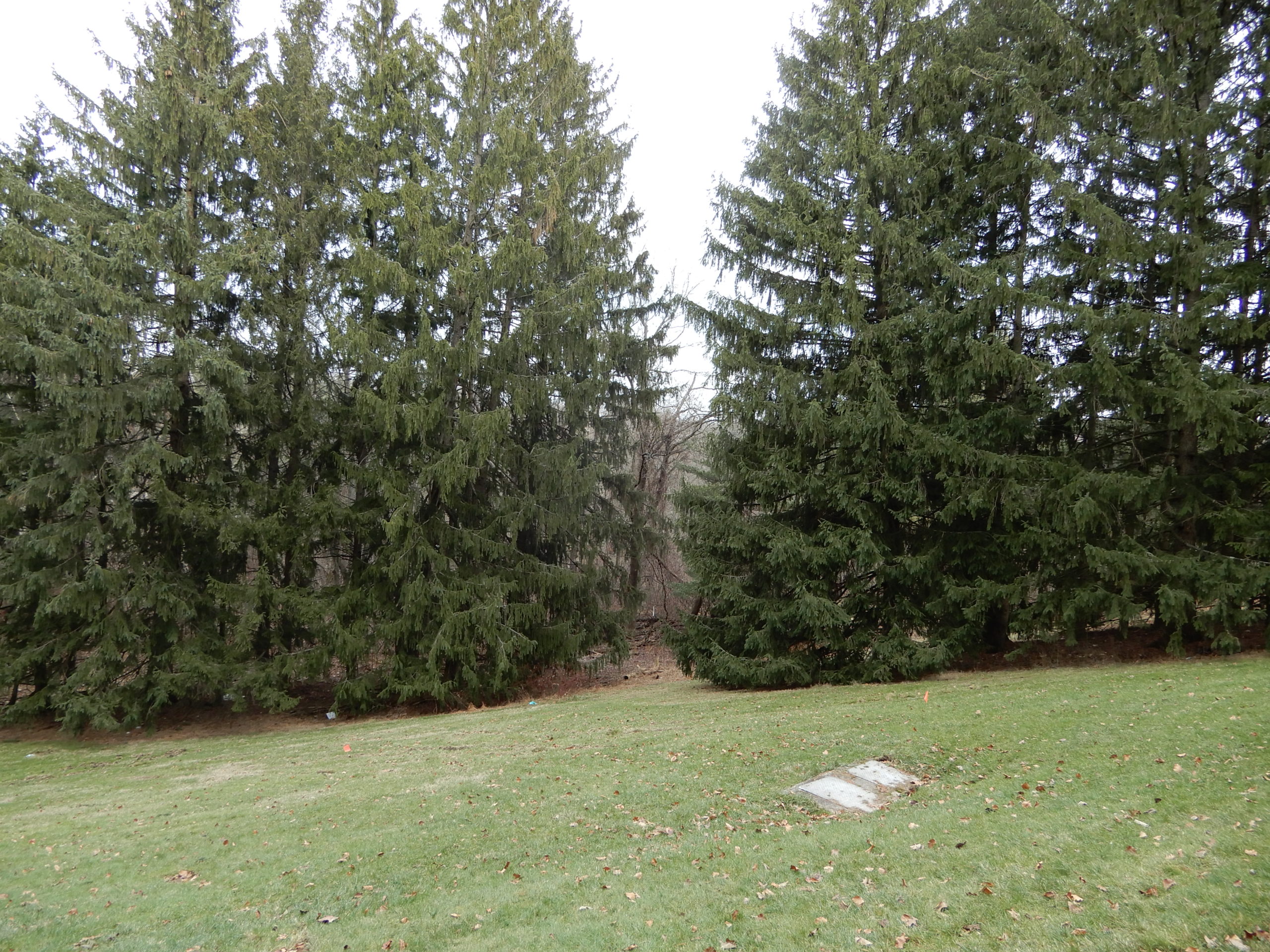
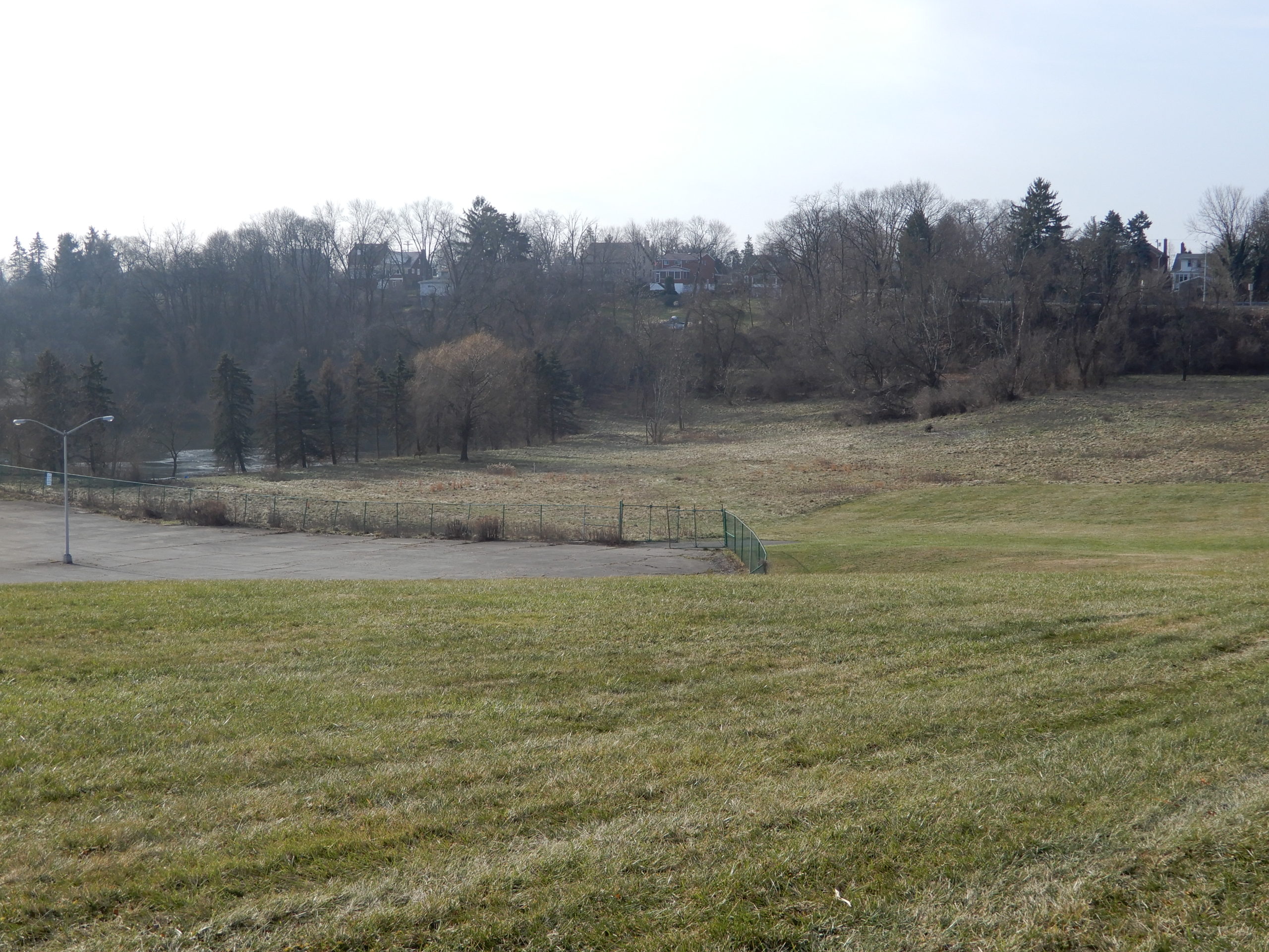
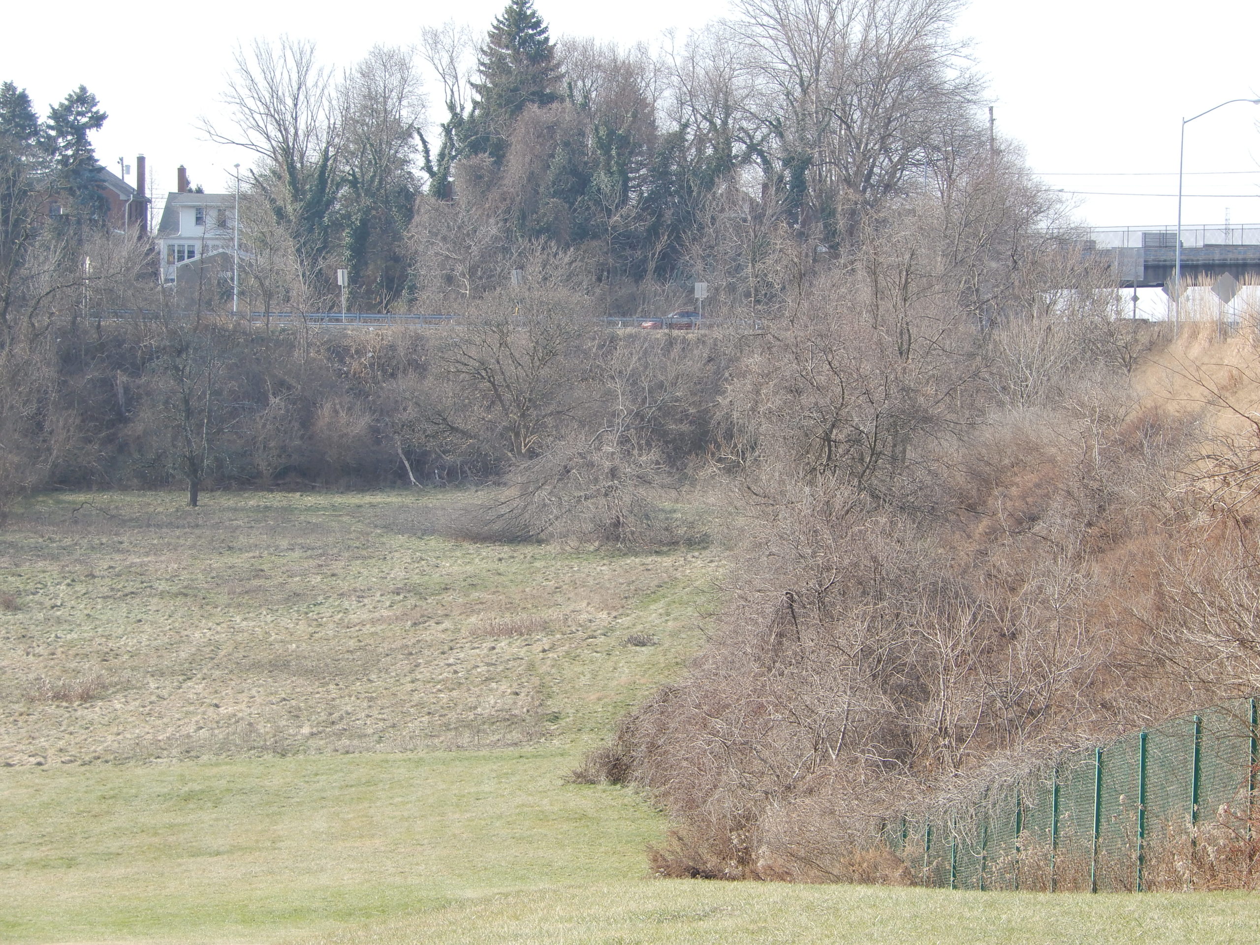
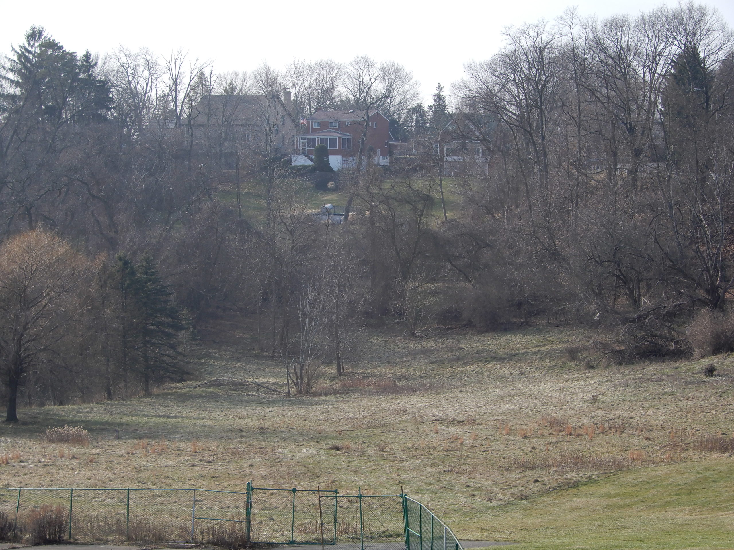
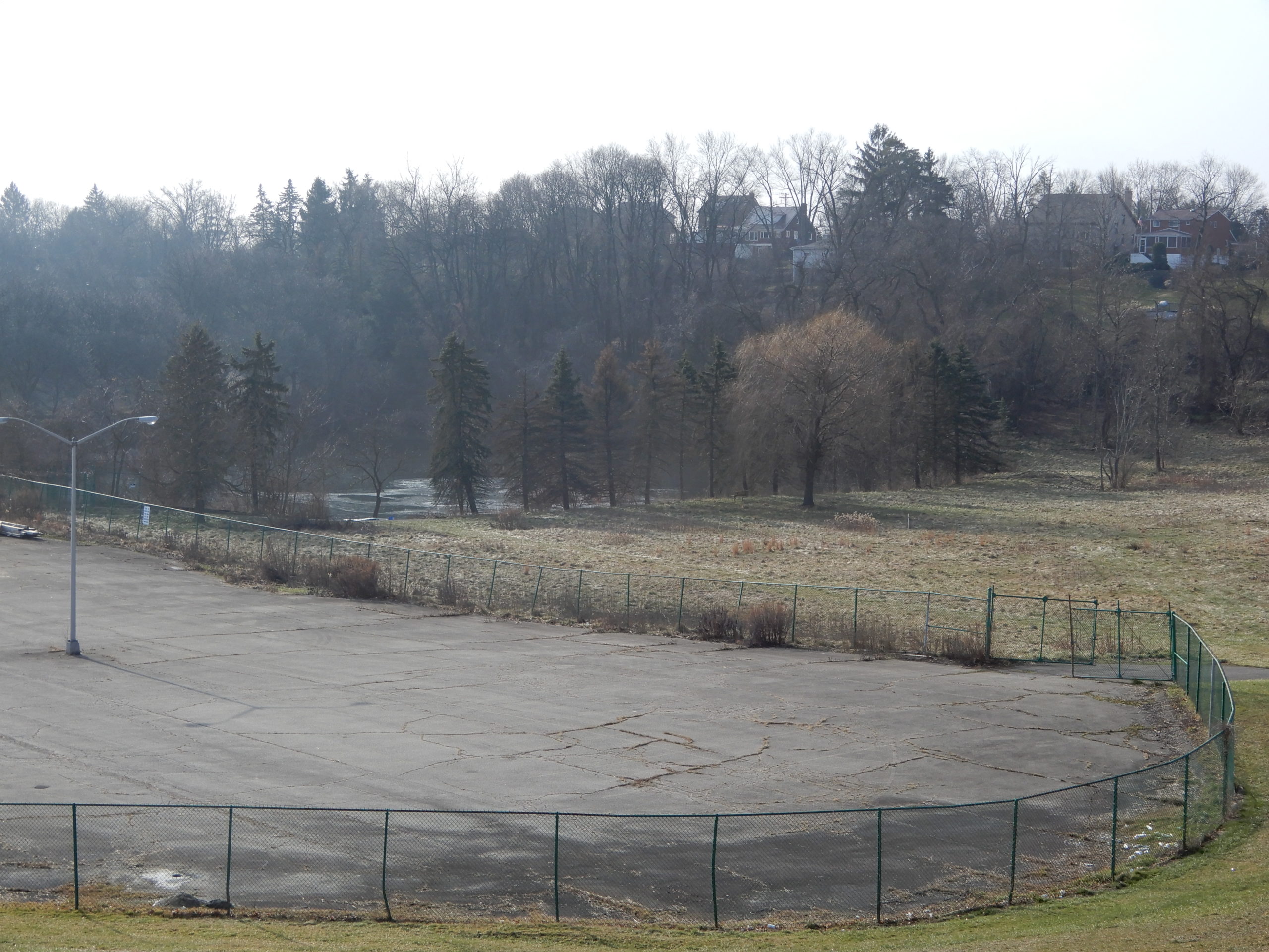
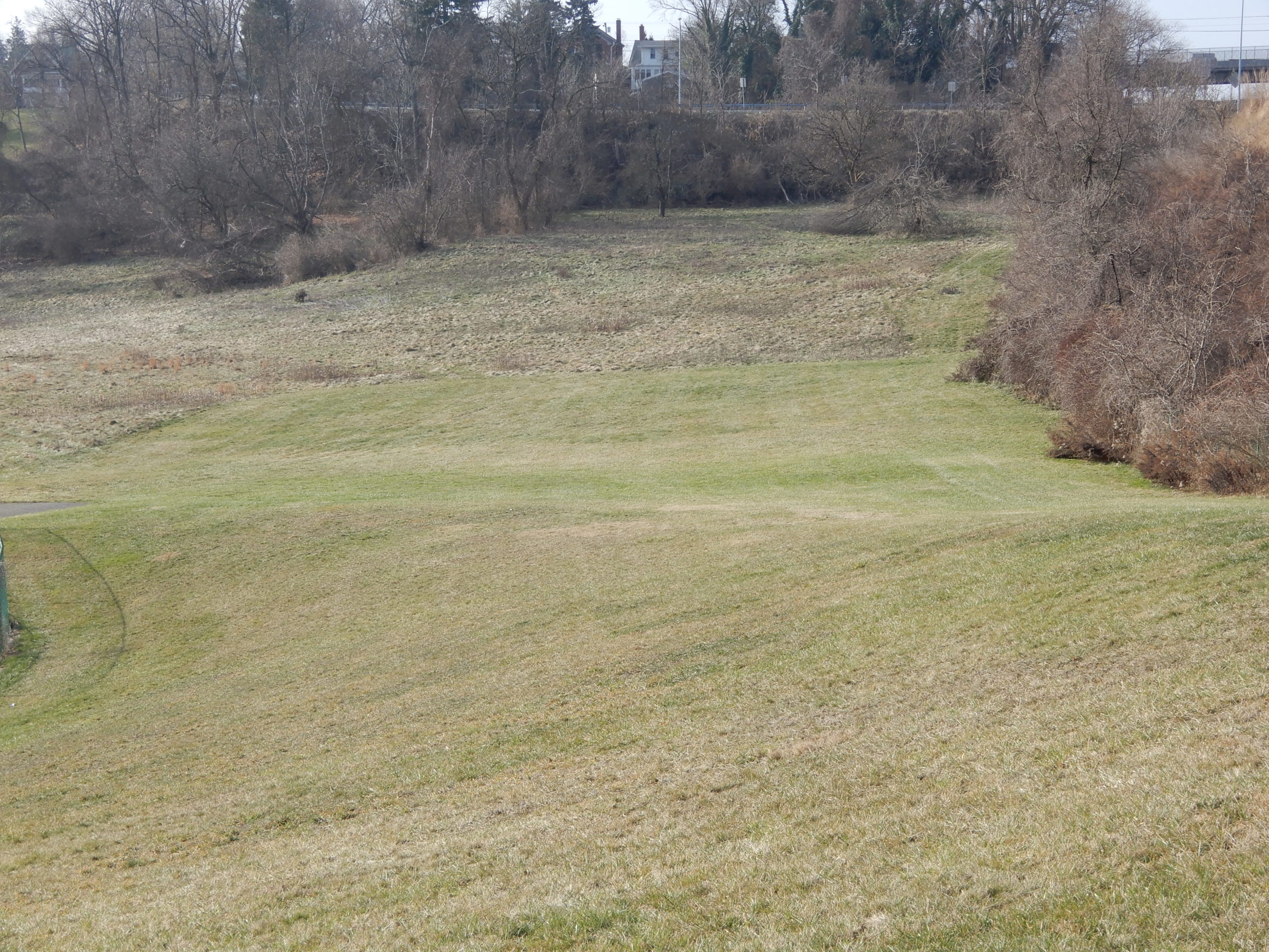
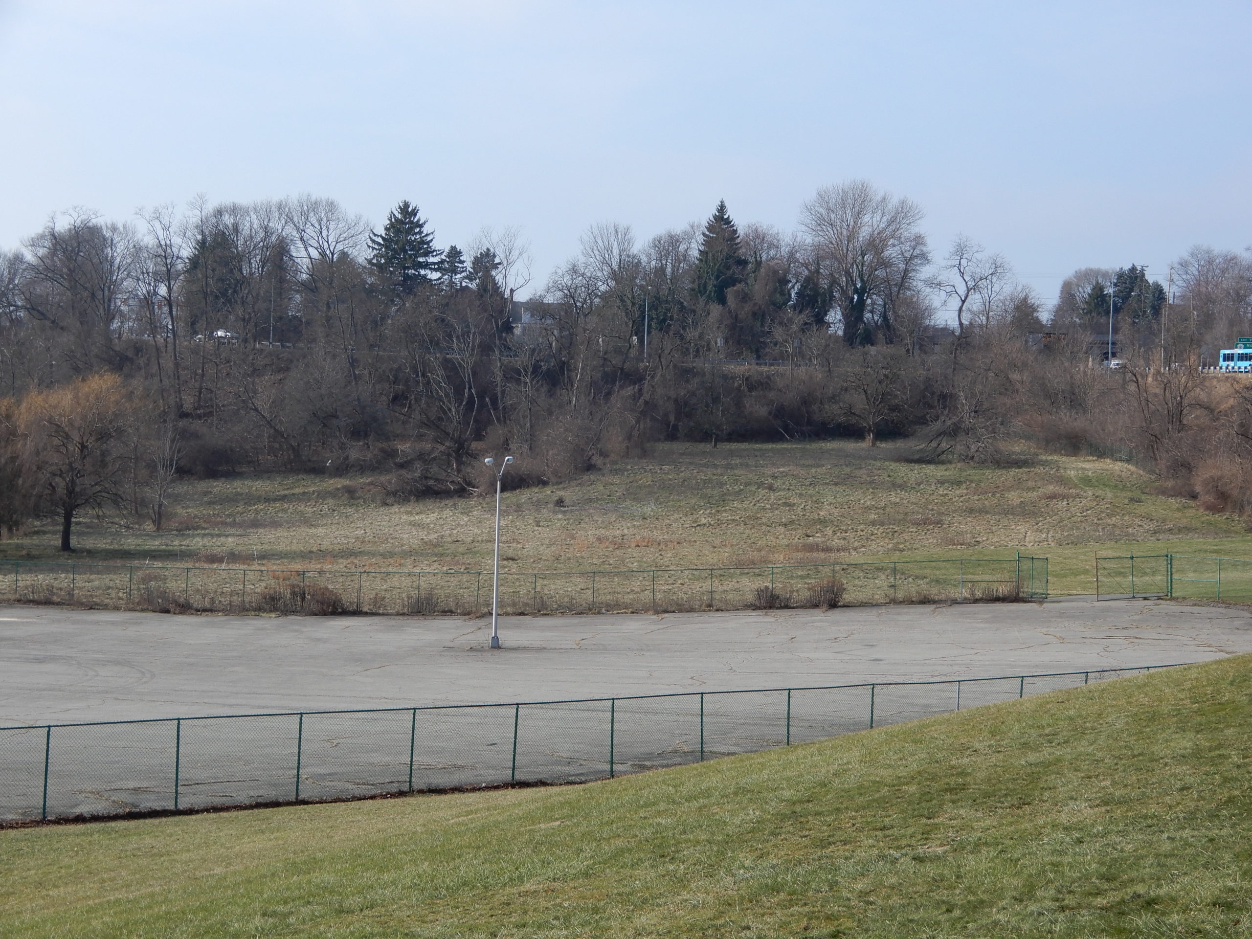
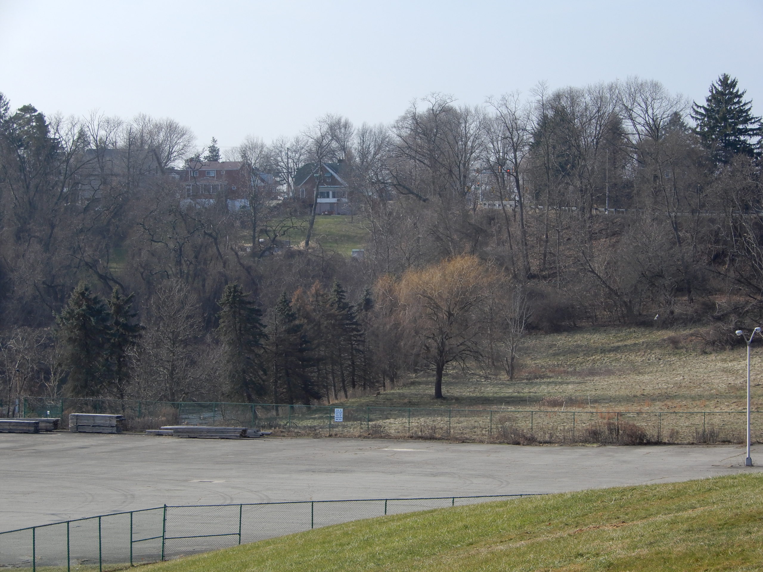
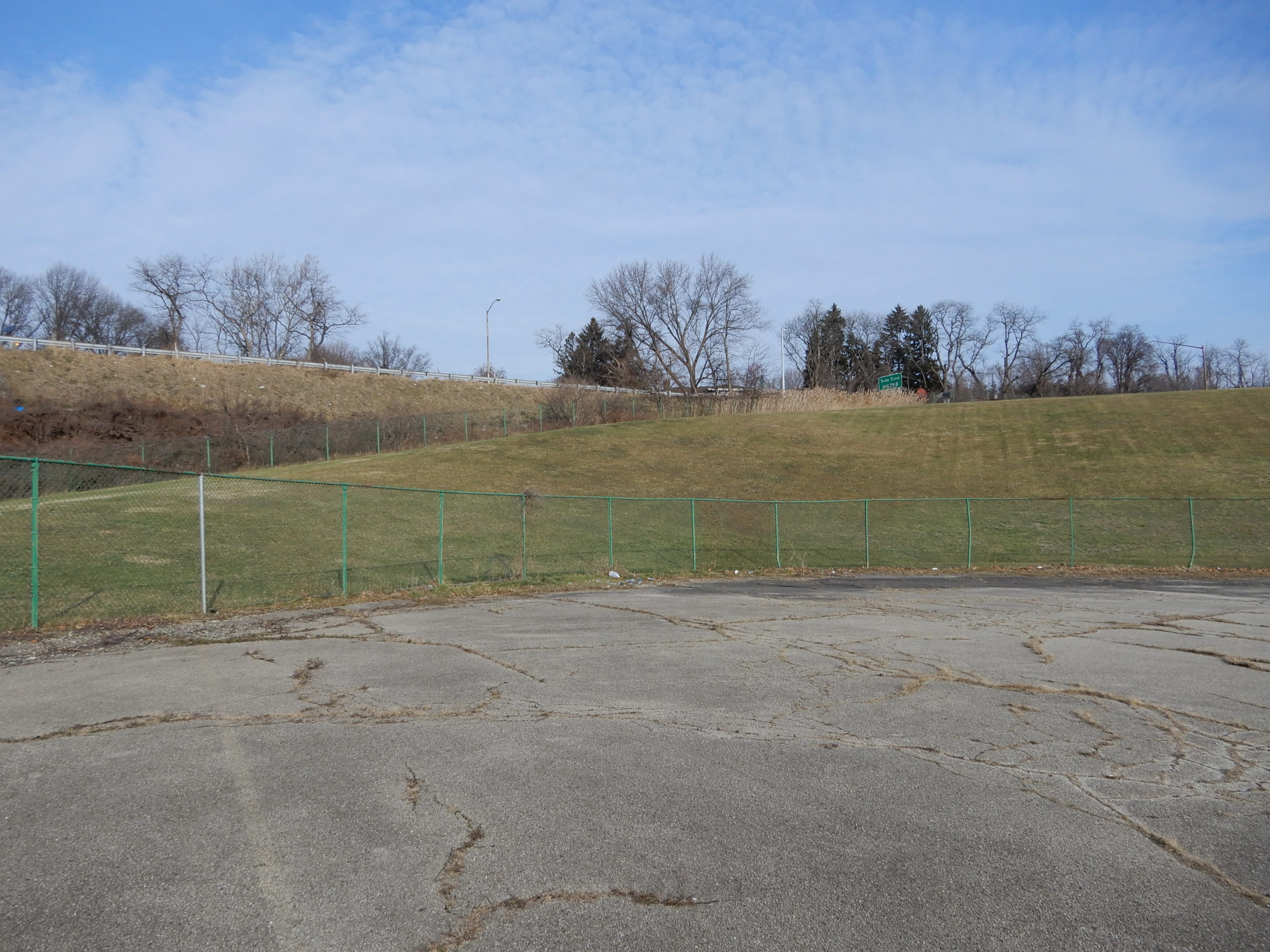
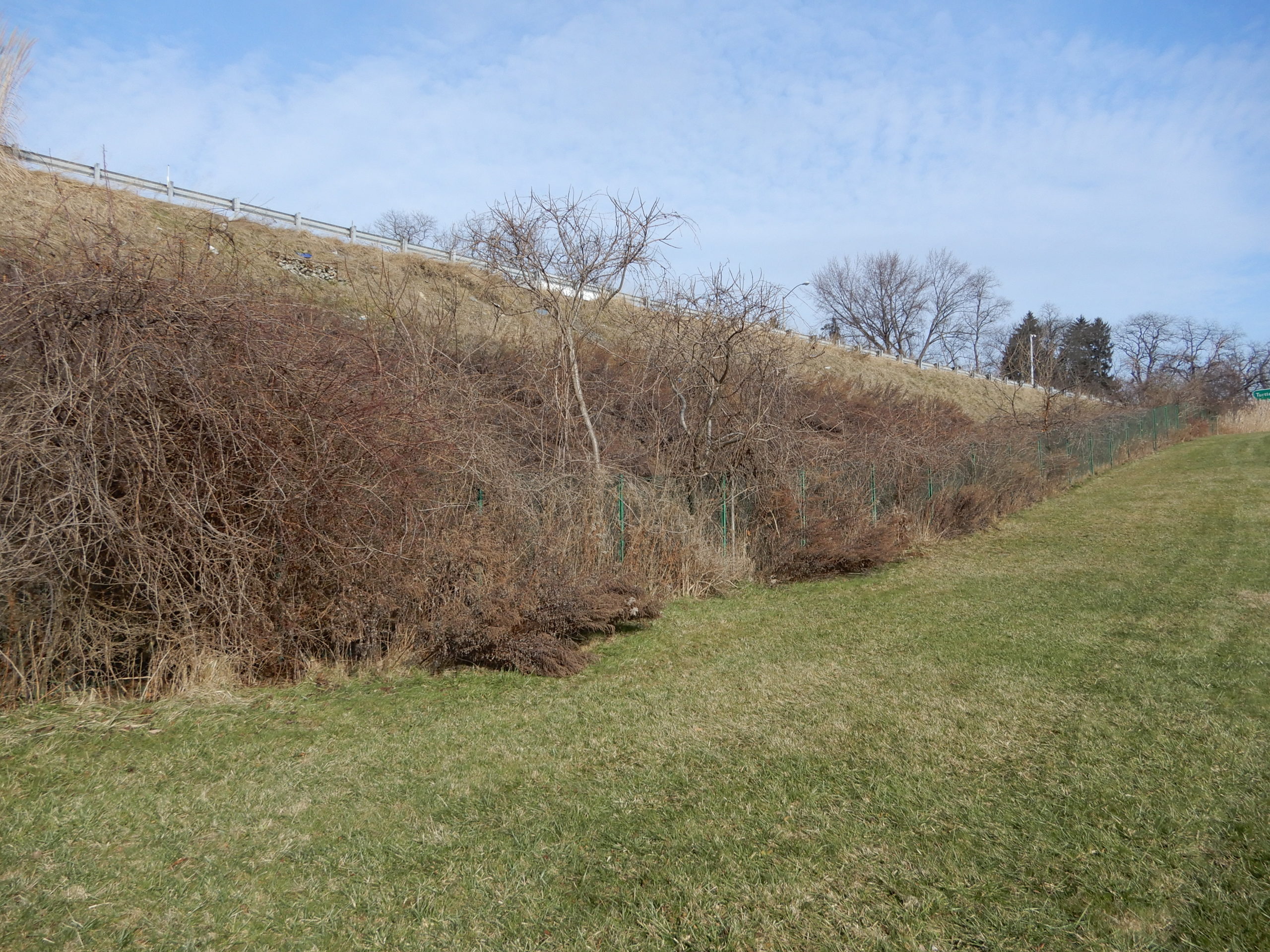
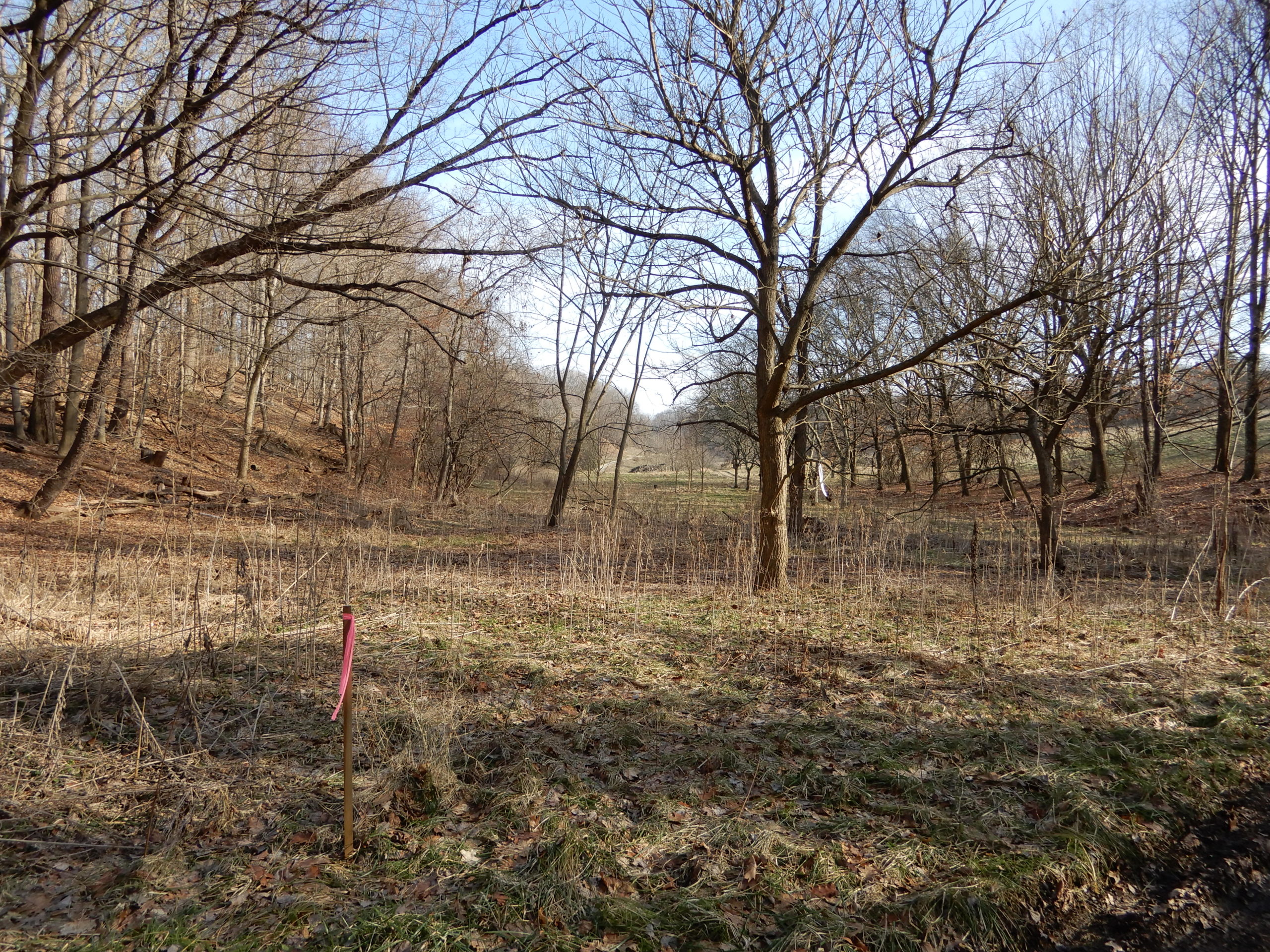
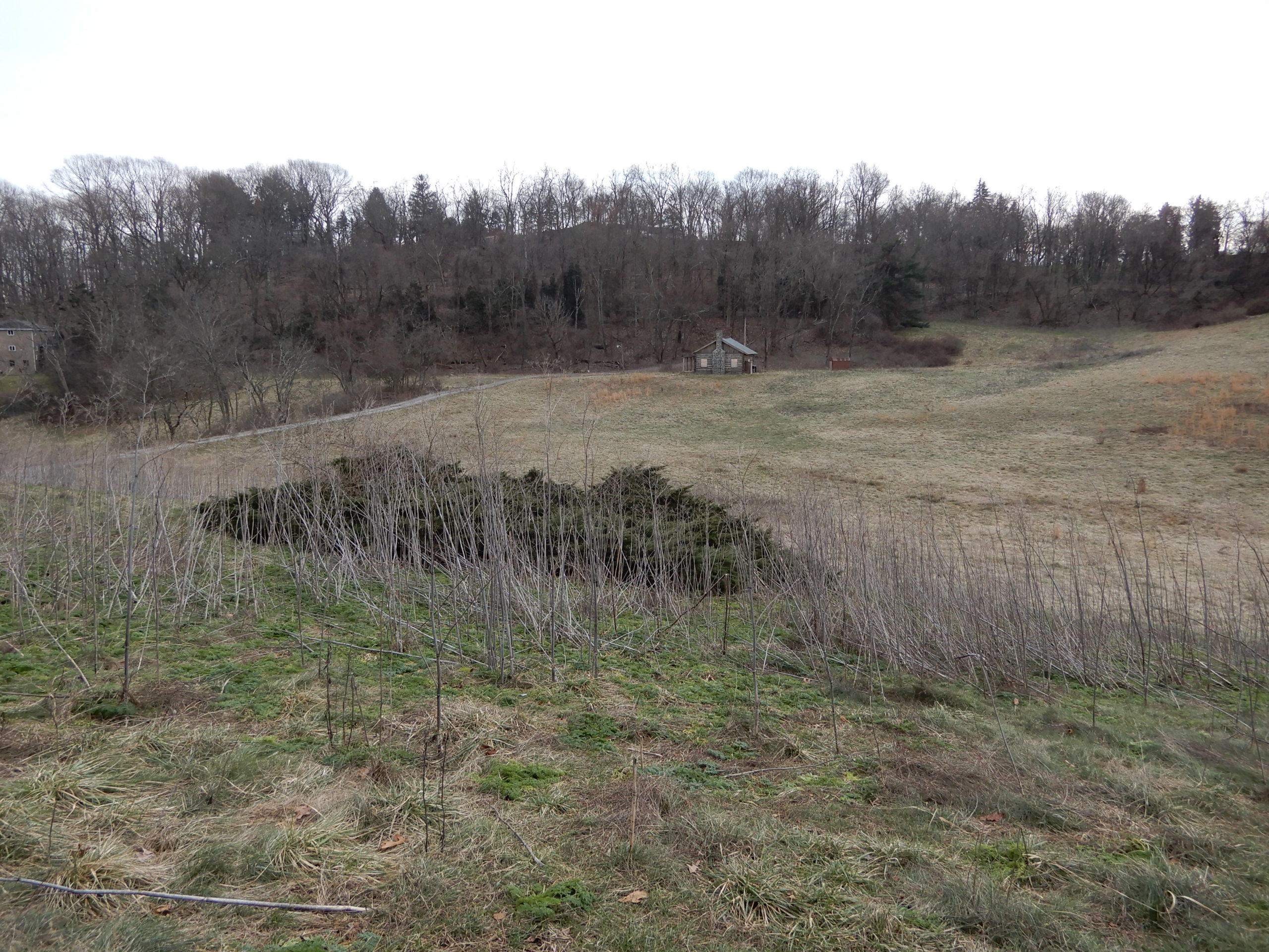
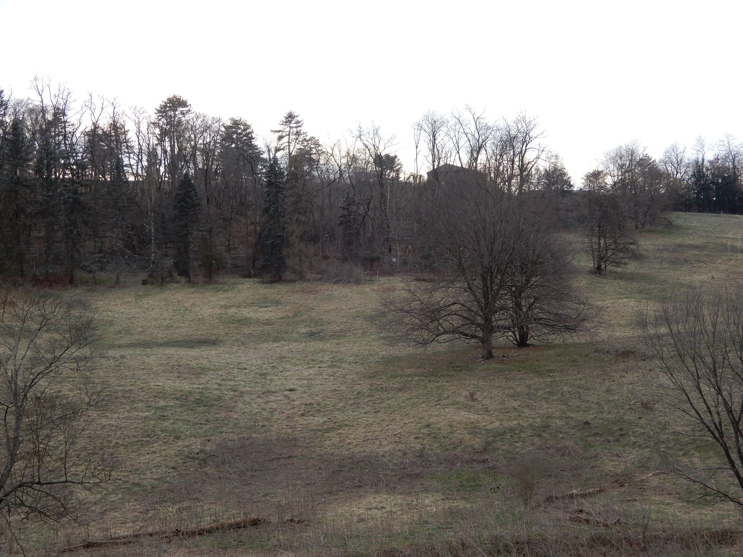
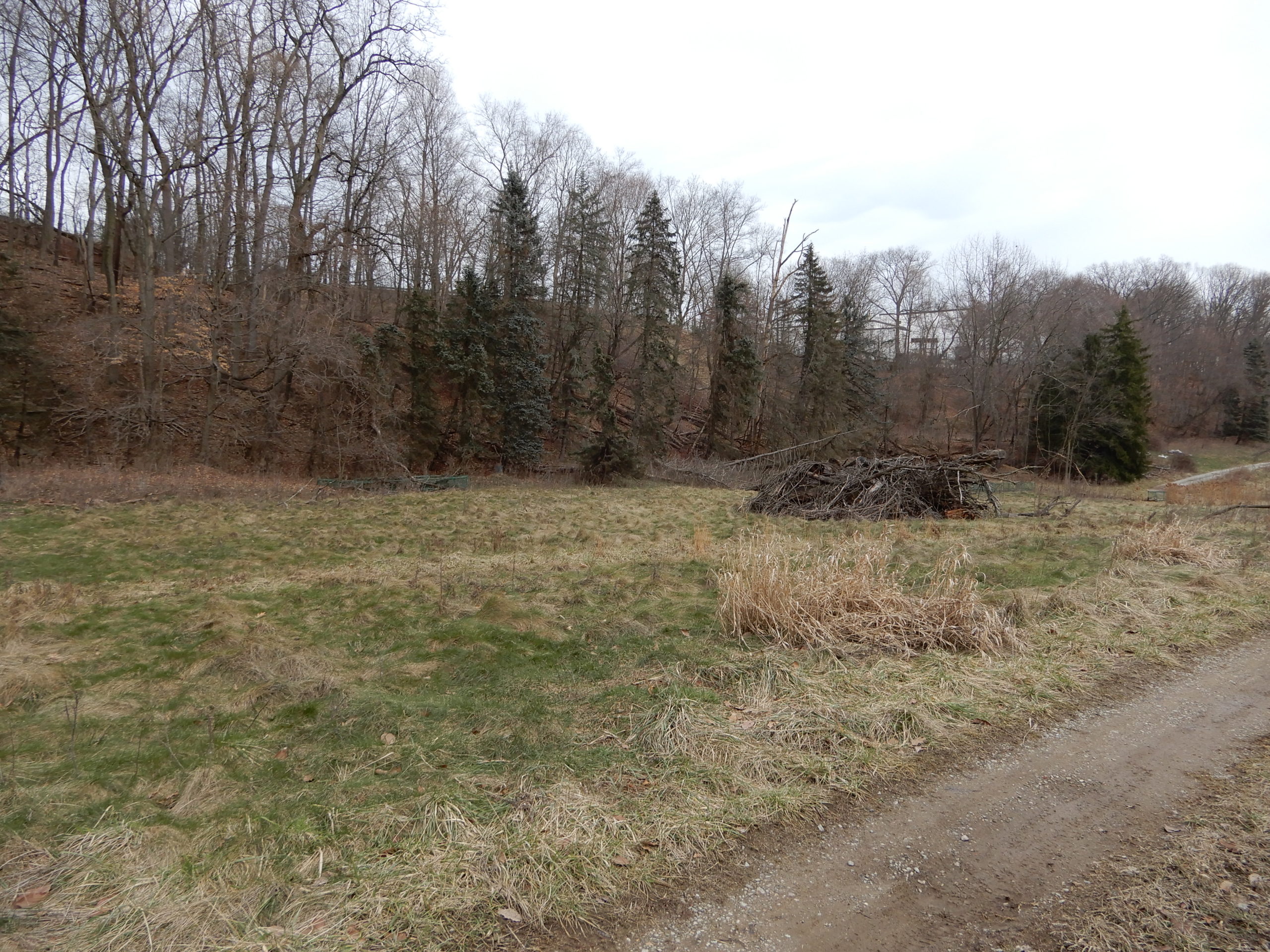
So the only area that will remain more or less in the current condition will be the watershed meadow on the south side. Although the retaining wall project about 50 feet beyond the current round parking areas into that valley.
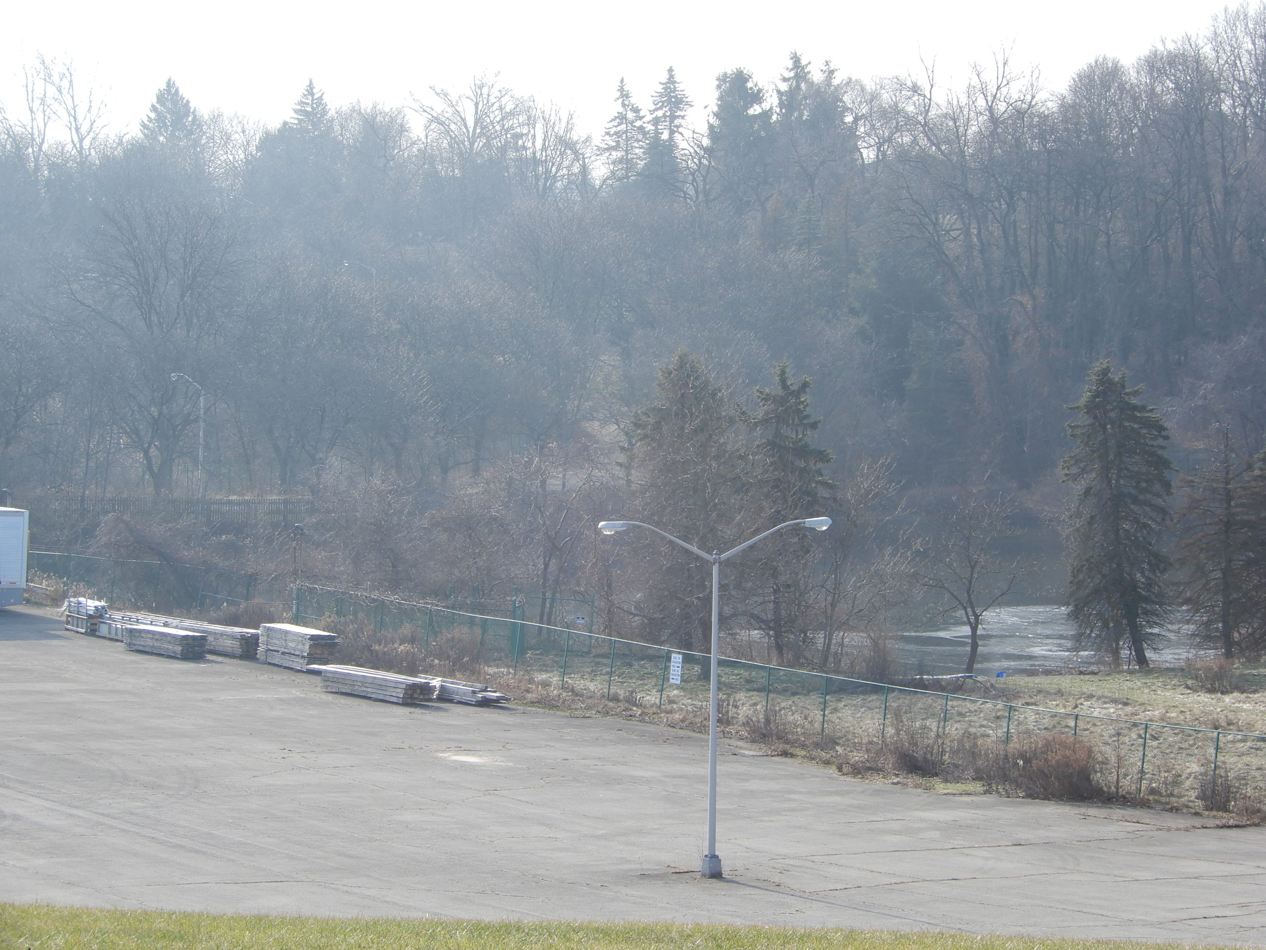
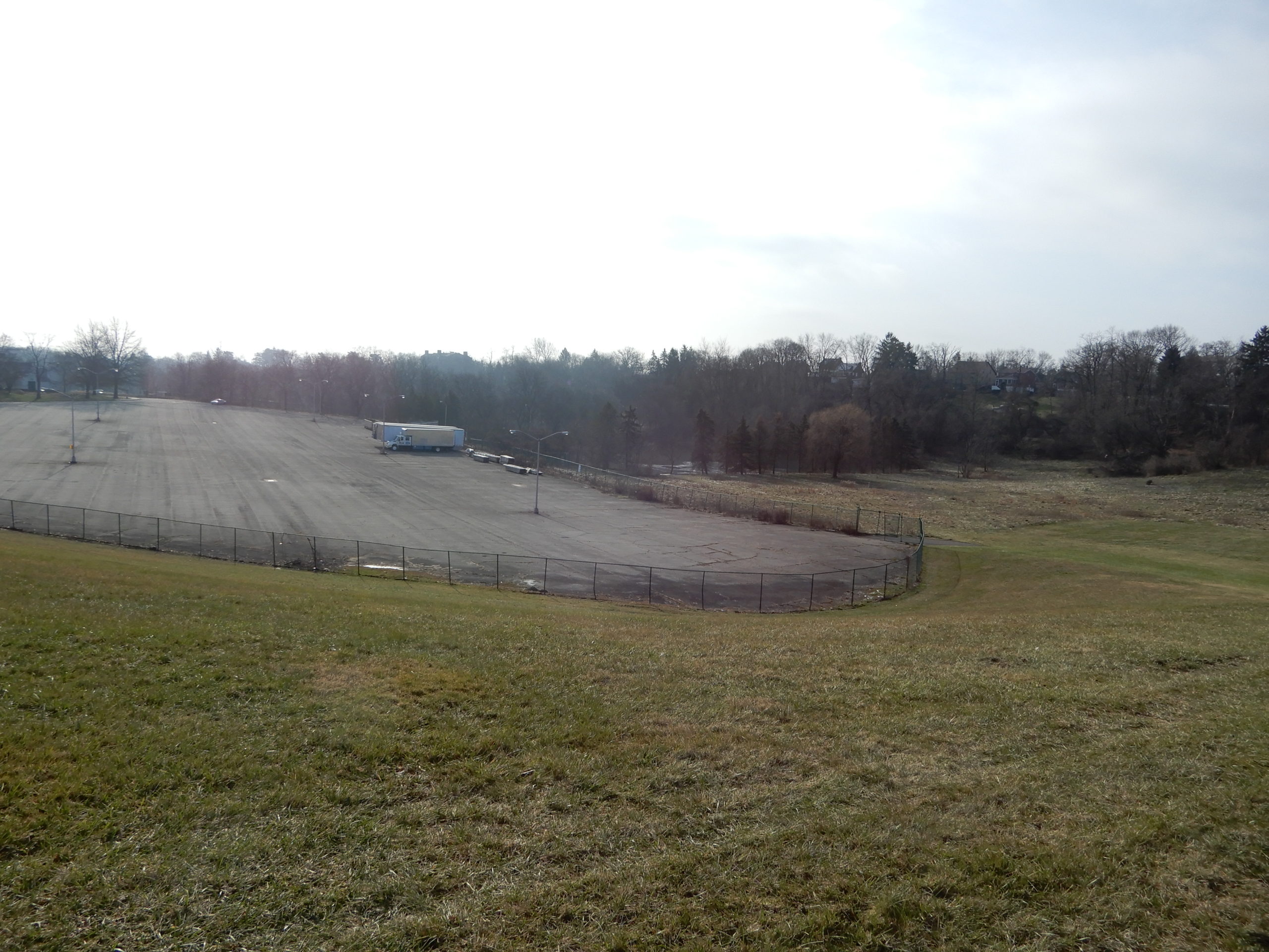
The southern area for storage of trailers will project south beyond those building about 100 feet.
That is why there are extreme retaining walls on all three sides.
Overall we lose about 50 acres of watershed.
BUILDINGS


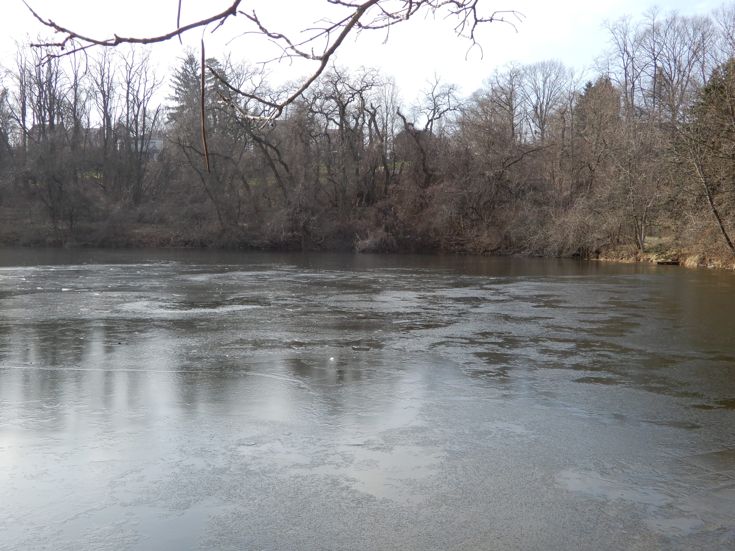
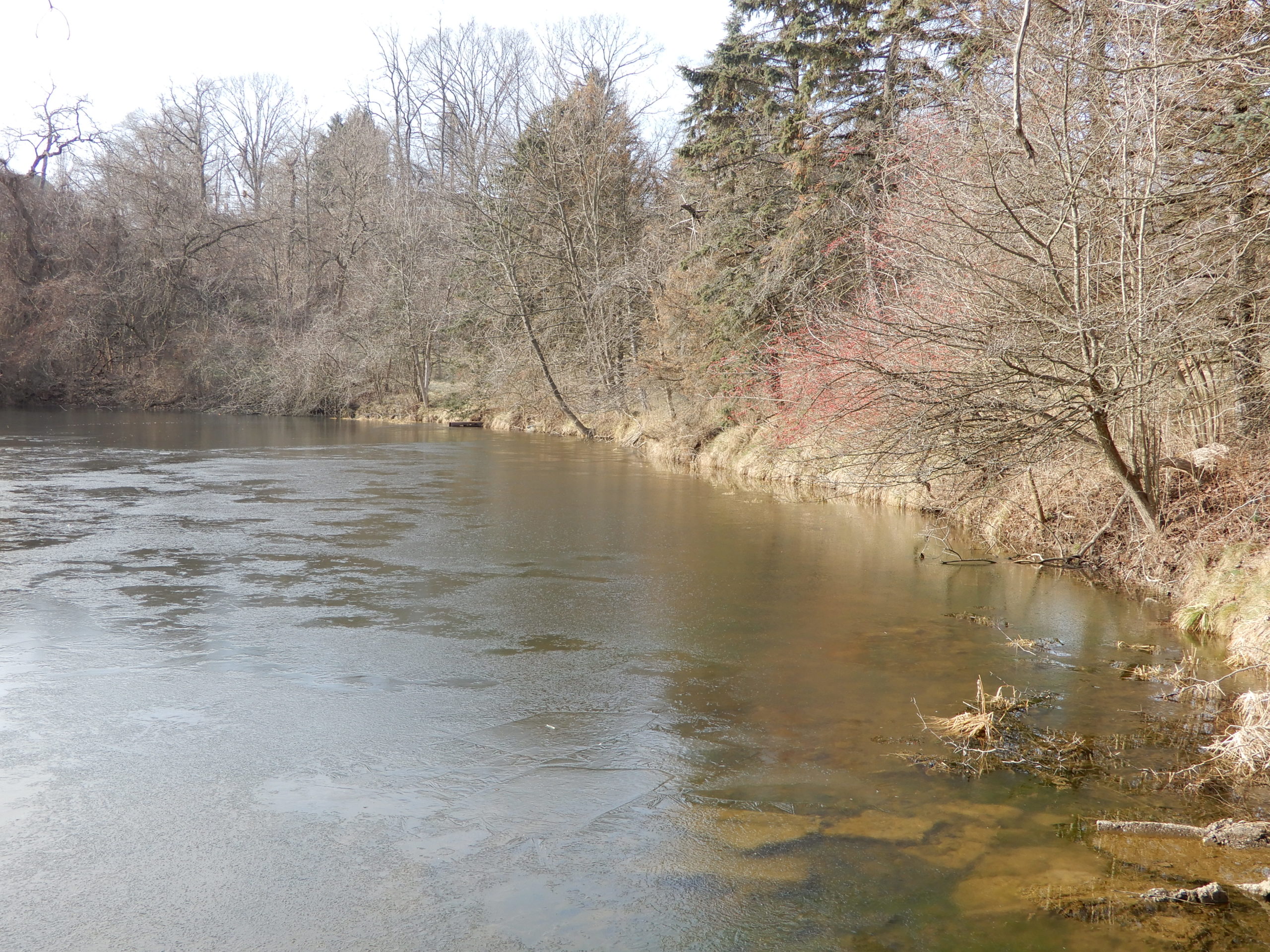
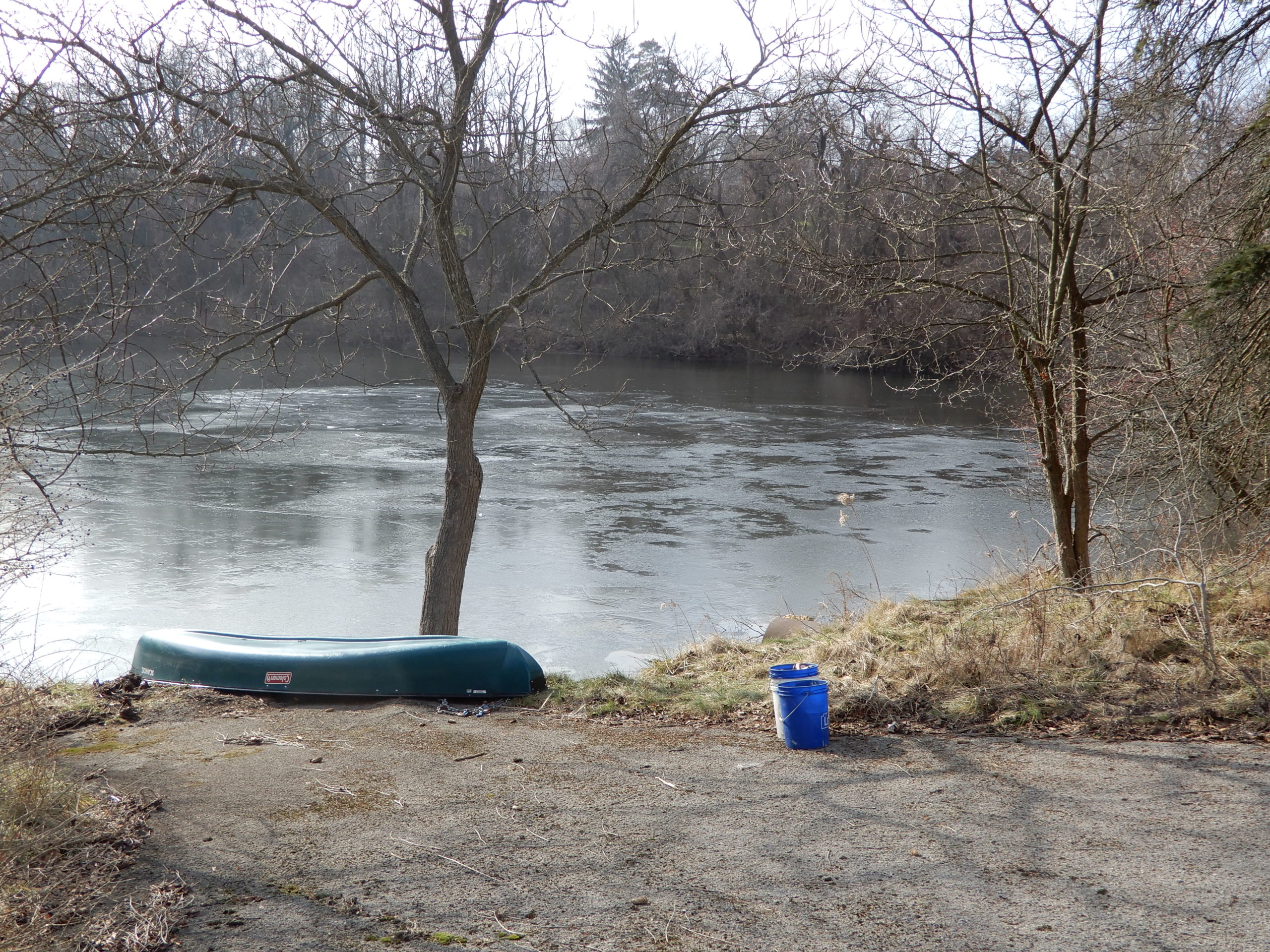
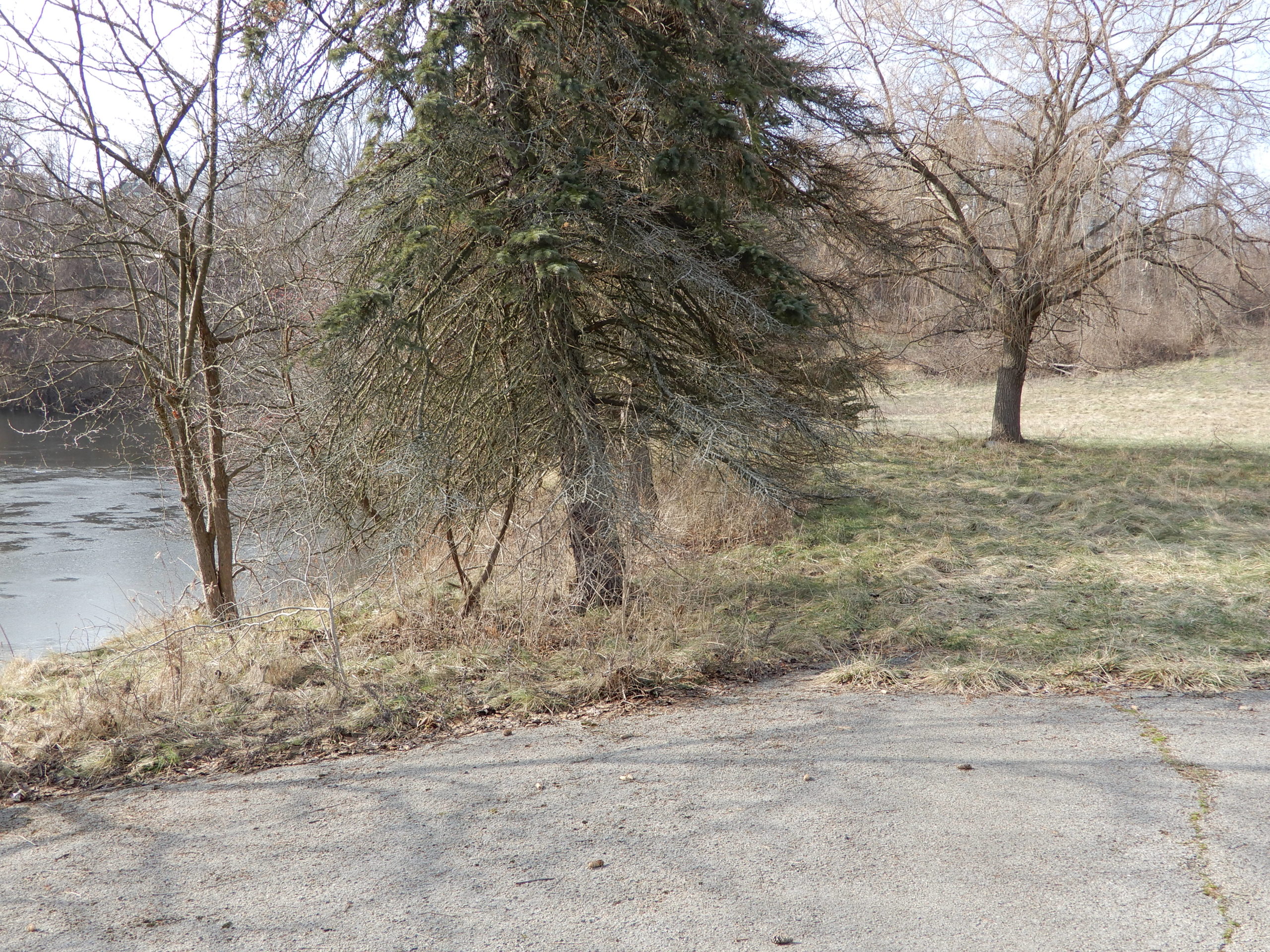
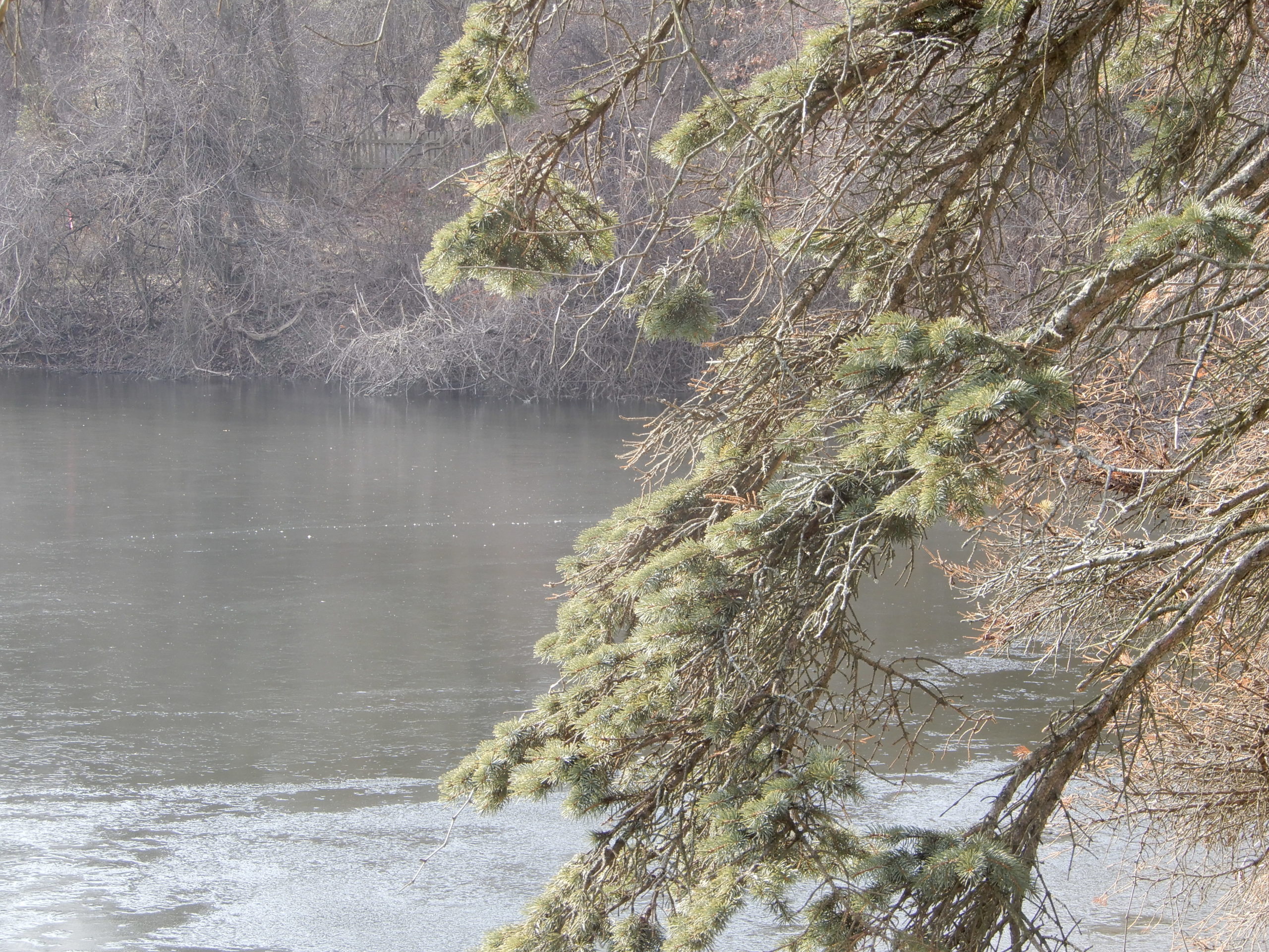
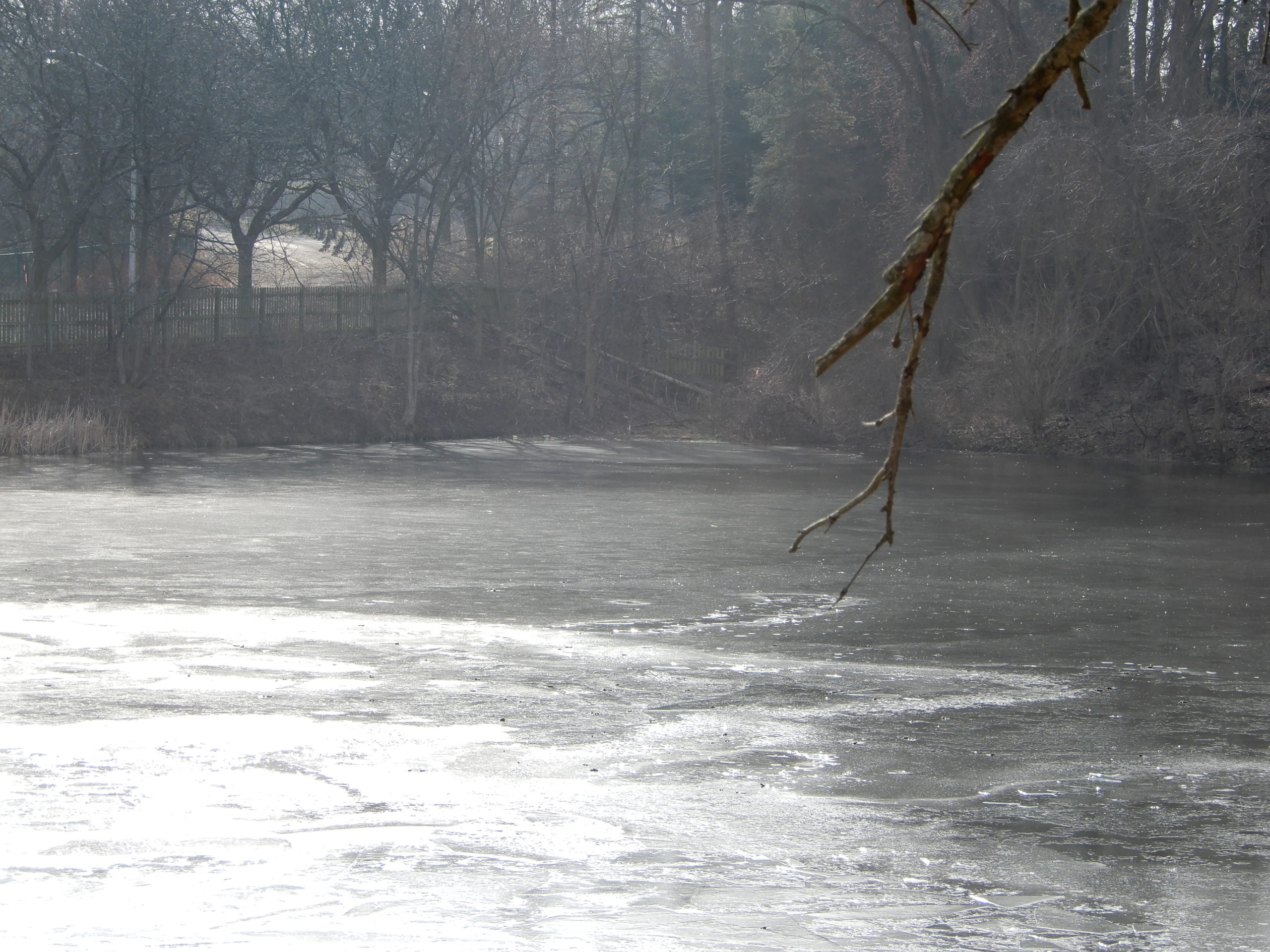
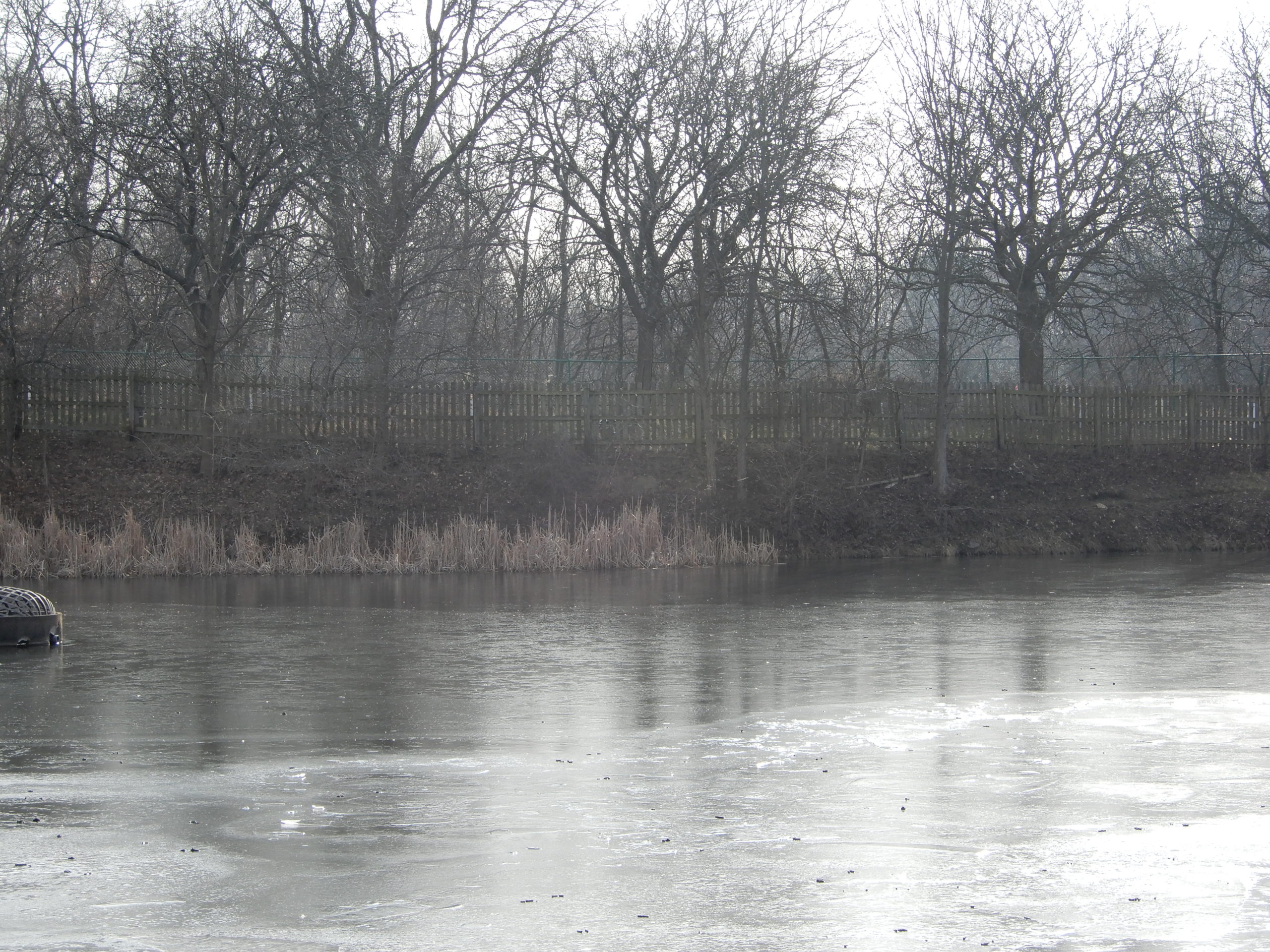
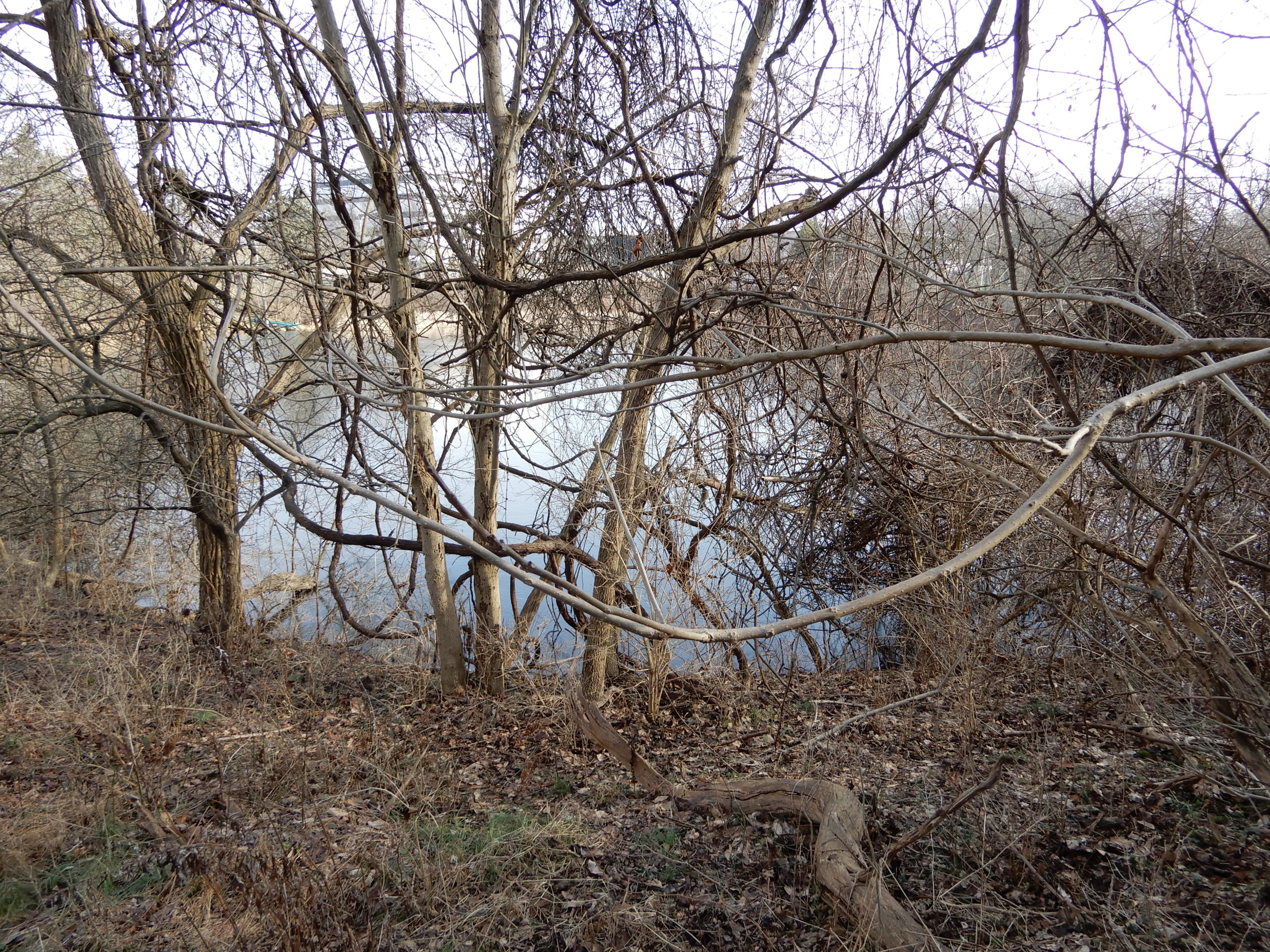
EASTERN SIDE AND LAKE

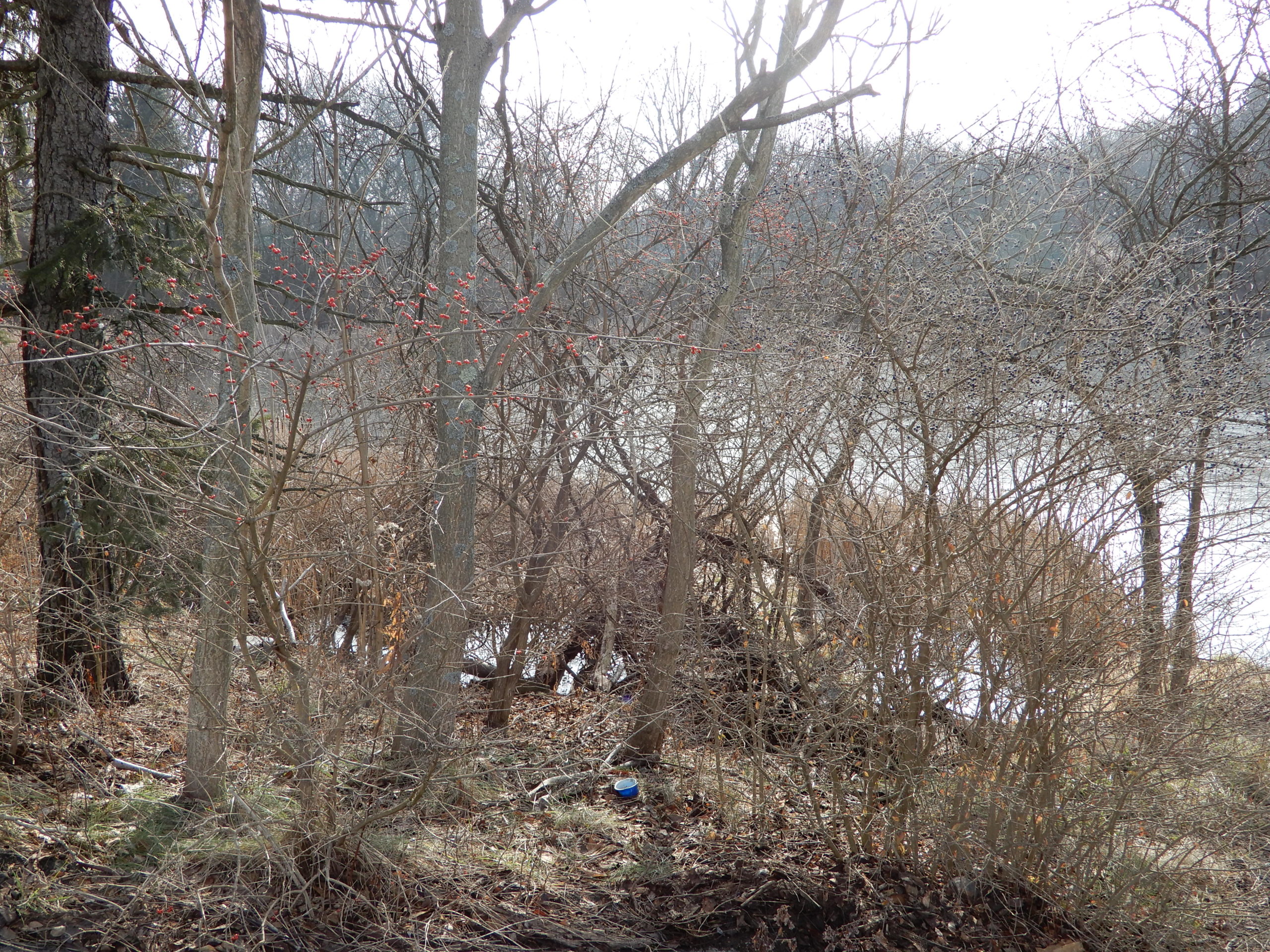


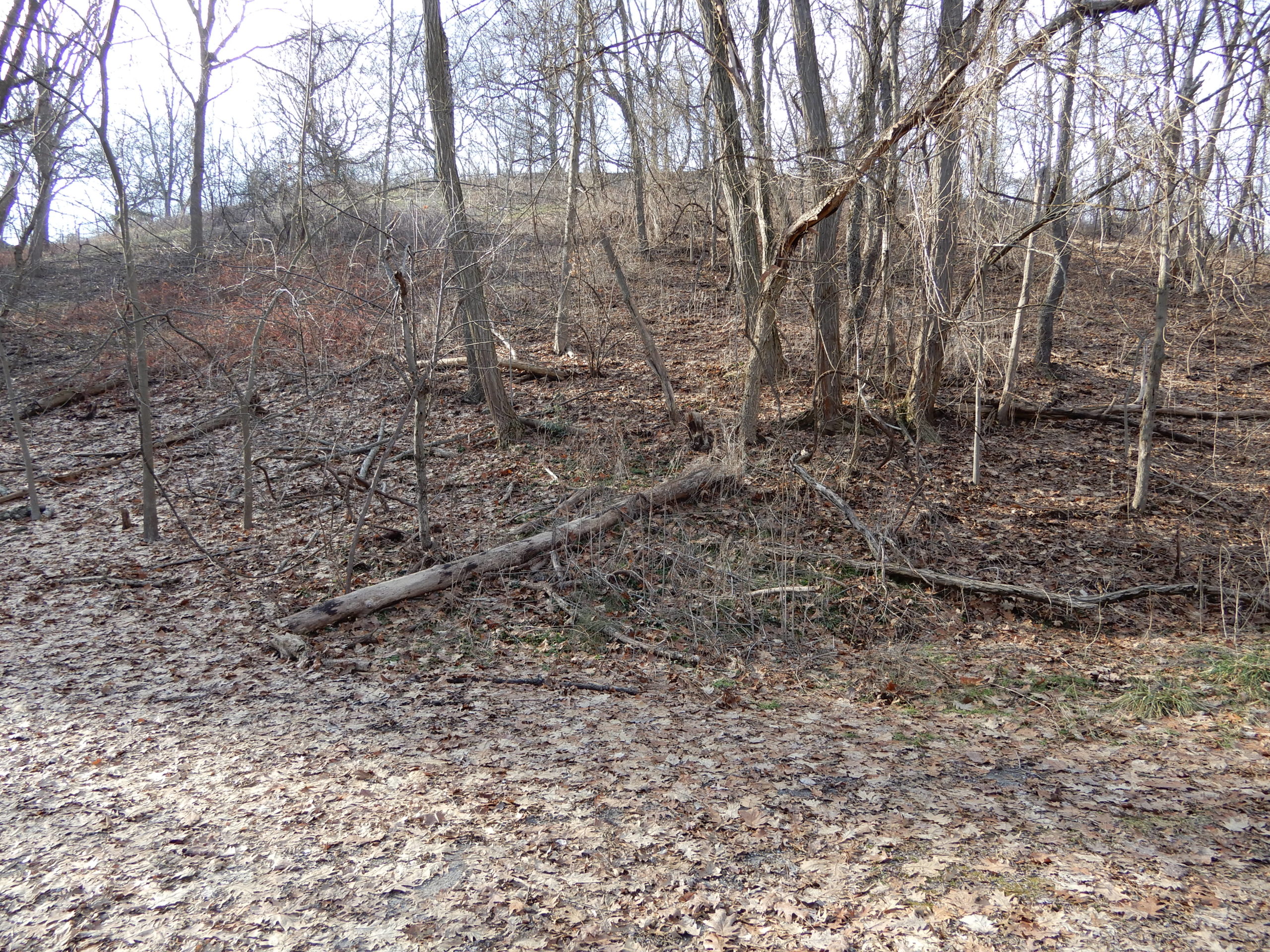
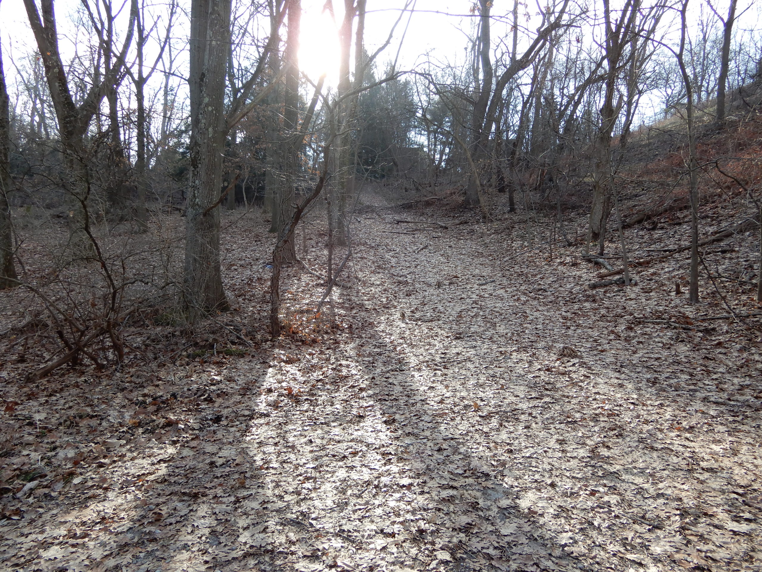
EASTERN SLOPE


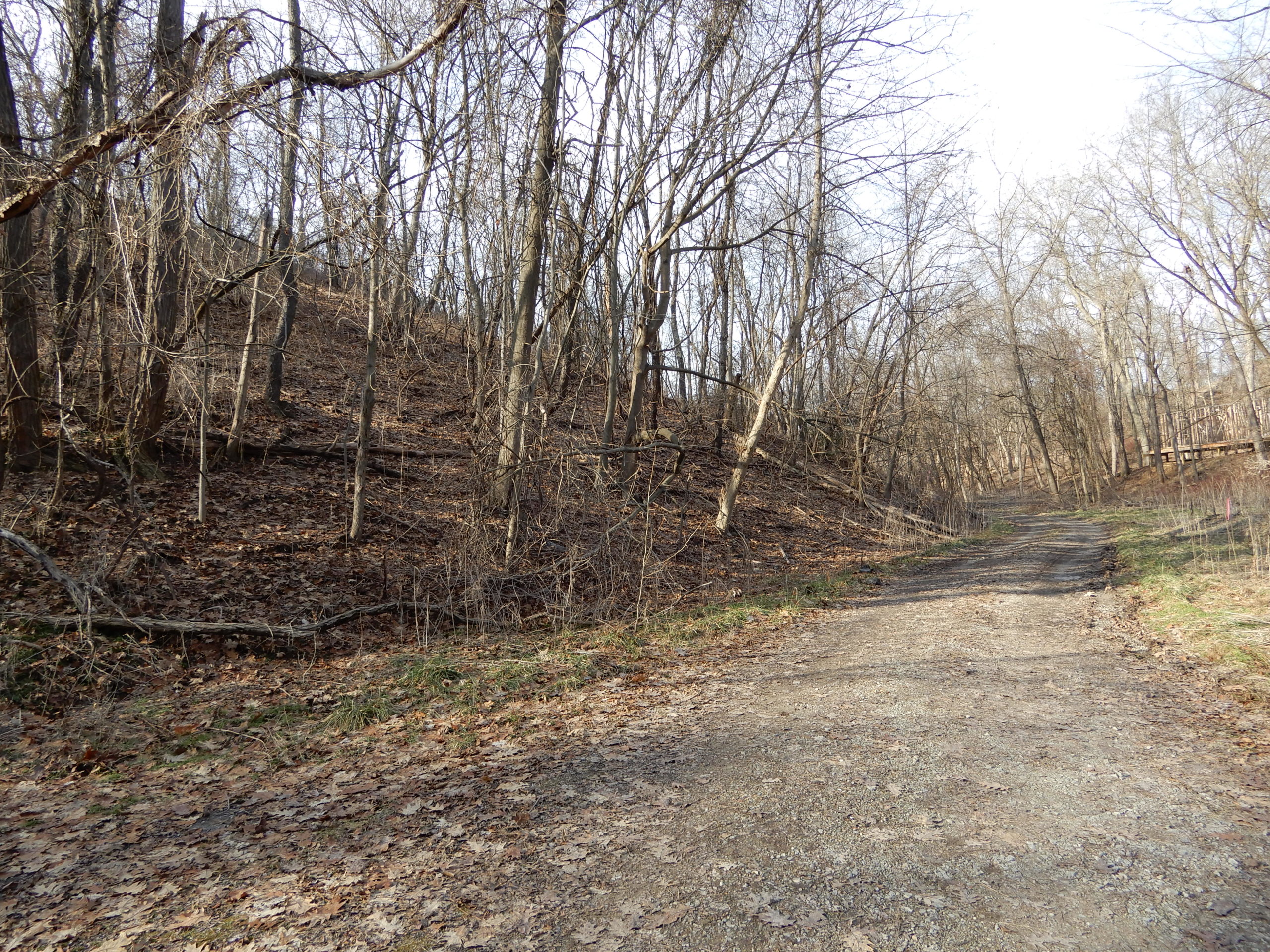
ENTRY


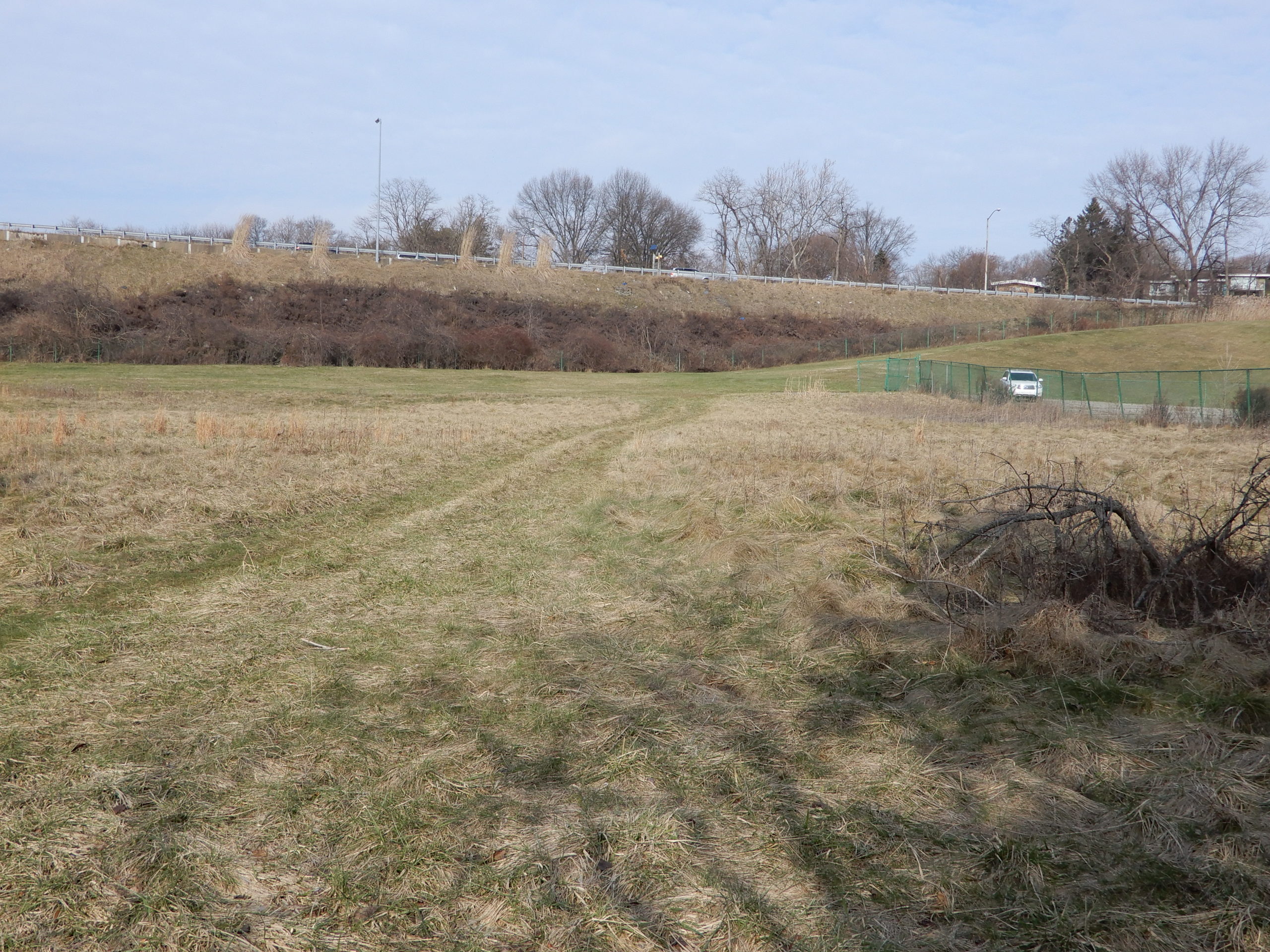
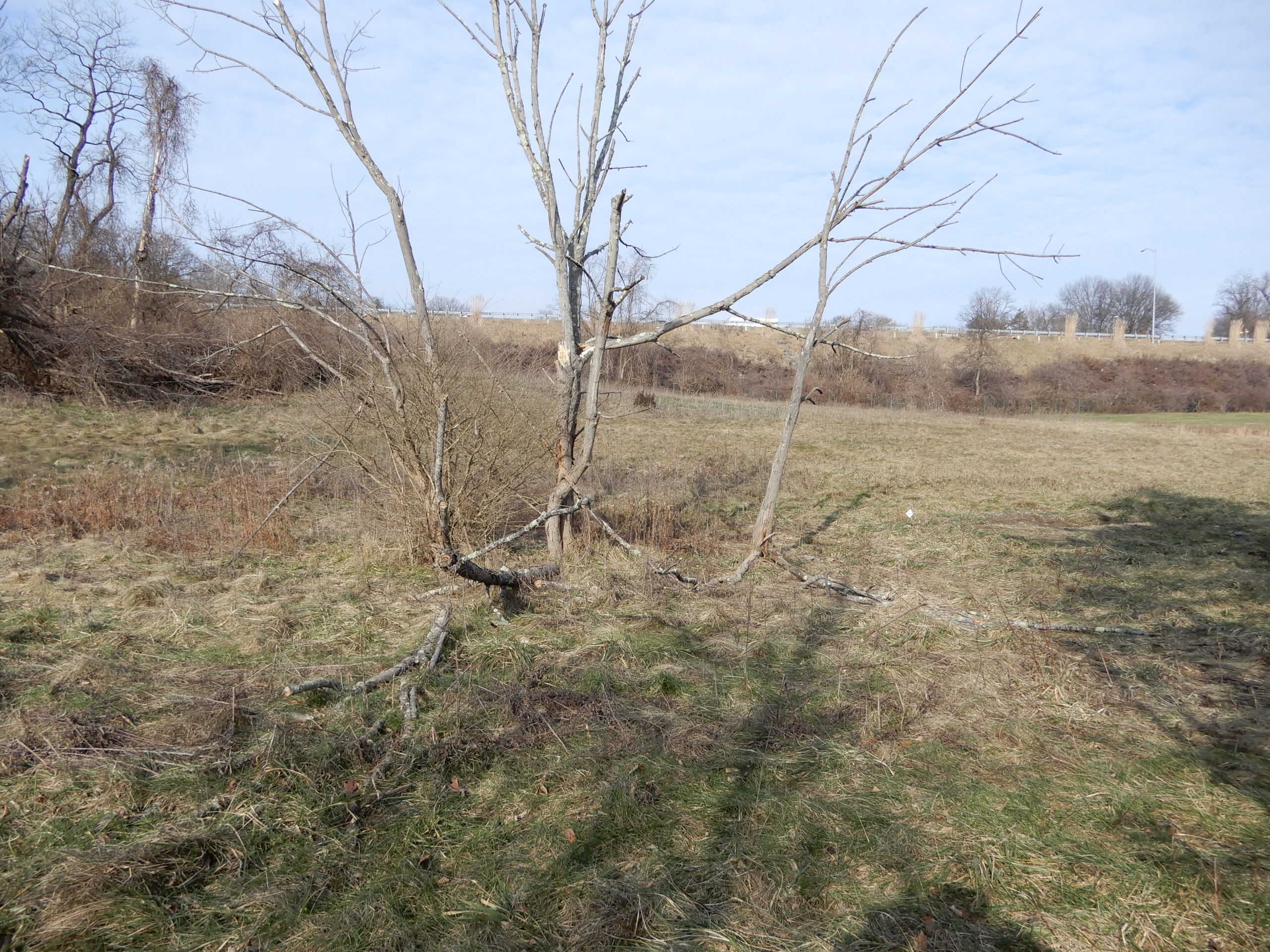
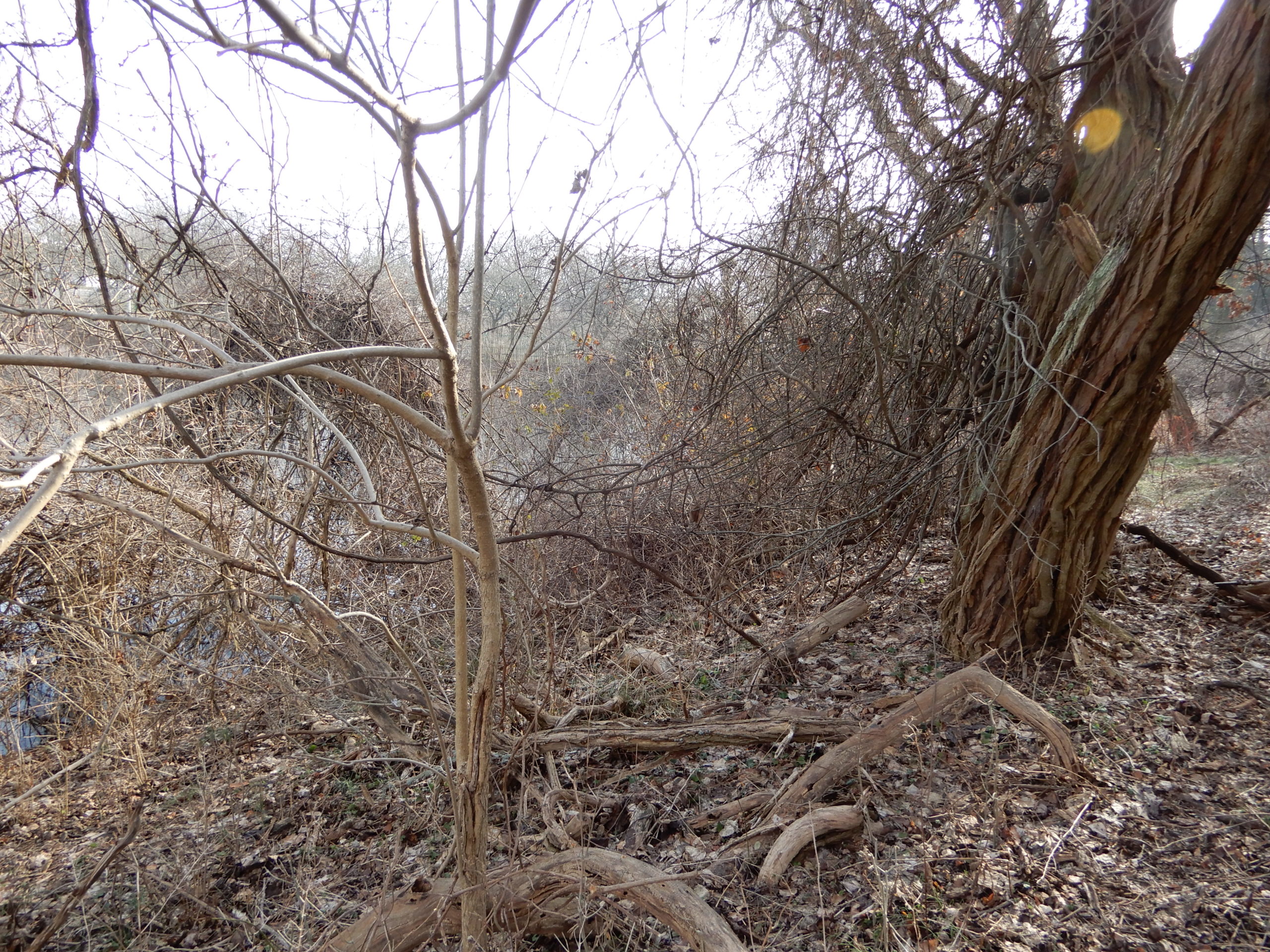
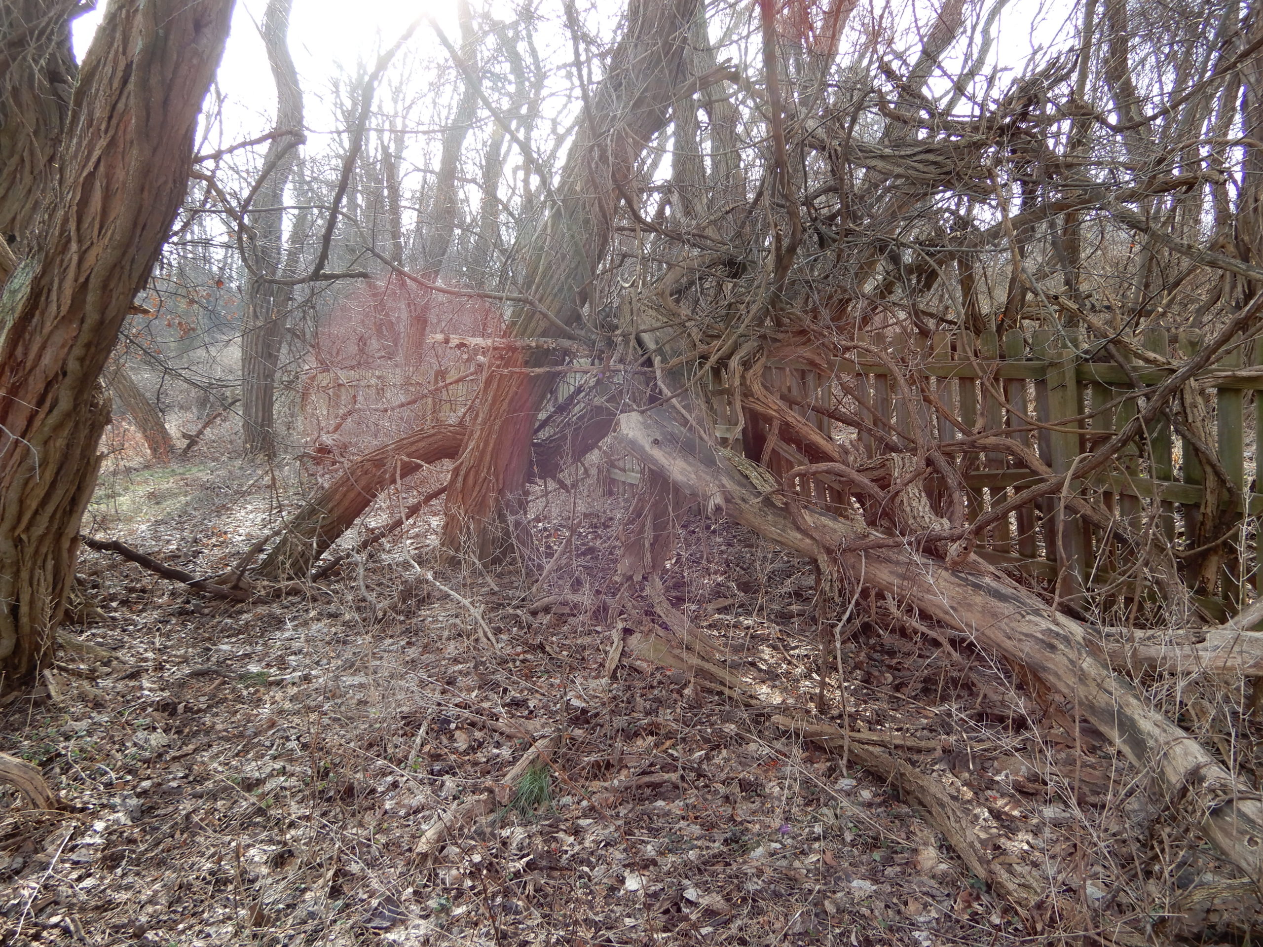
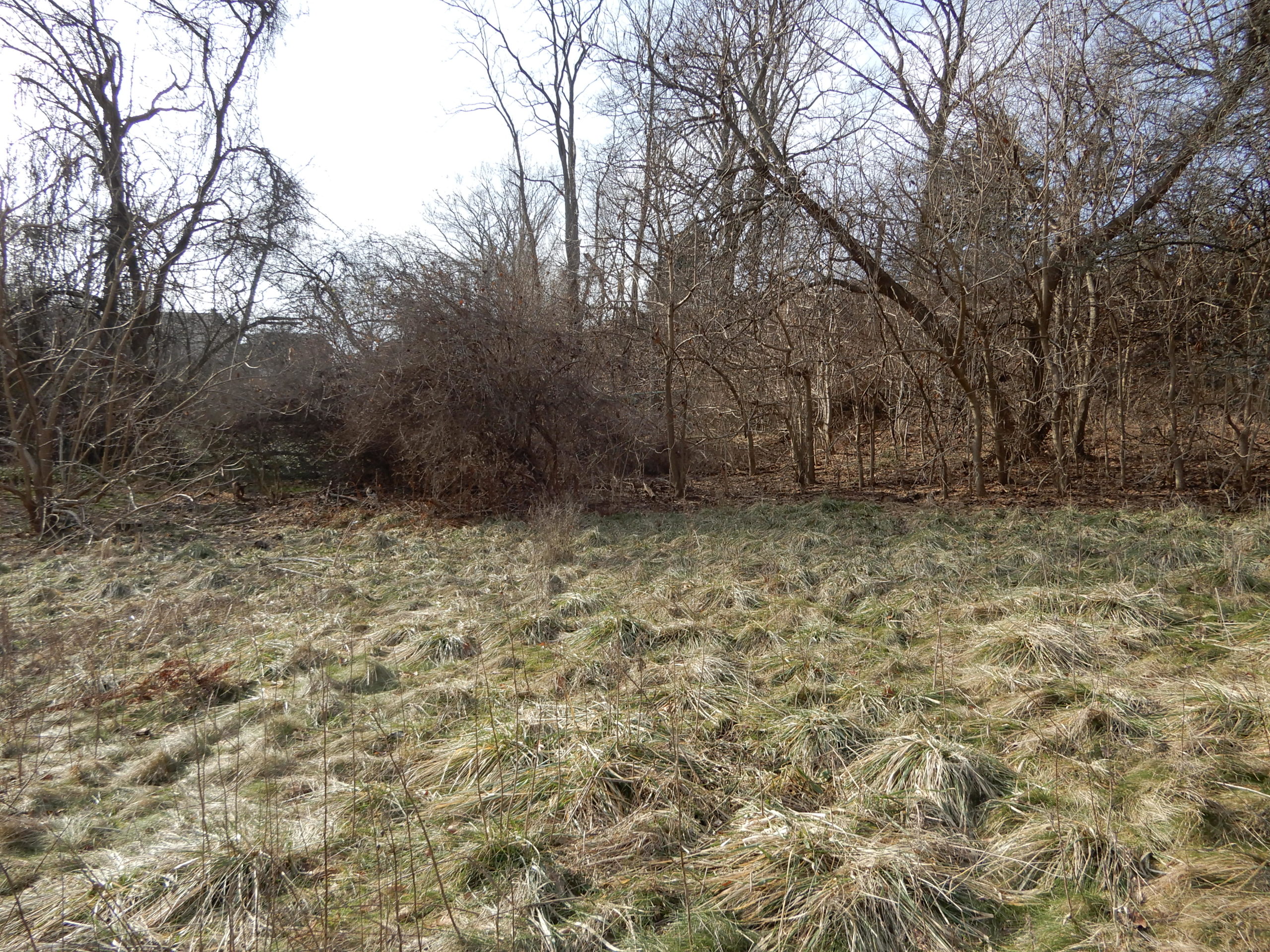
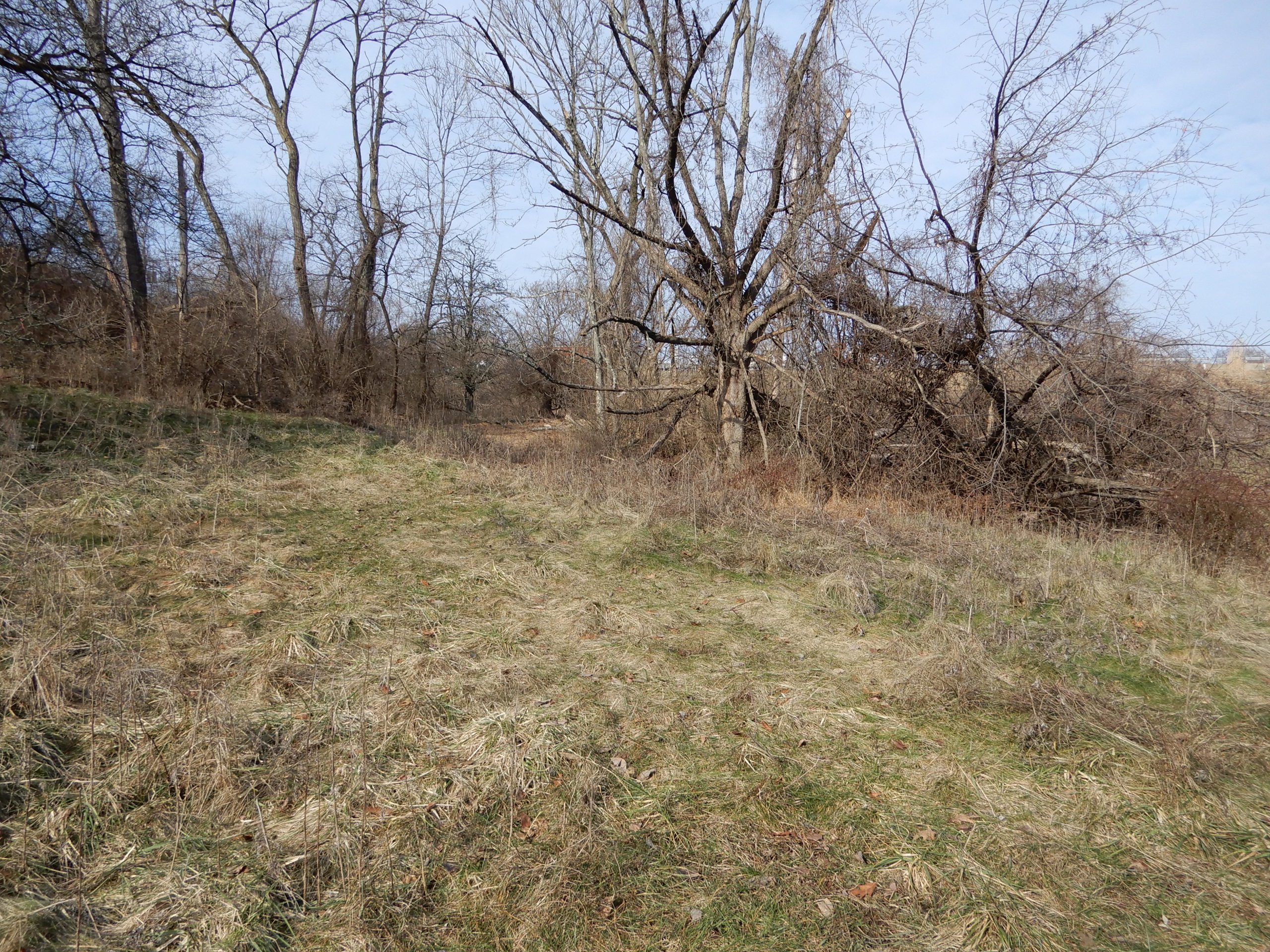
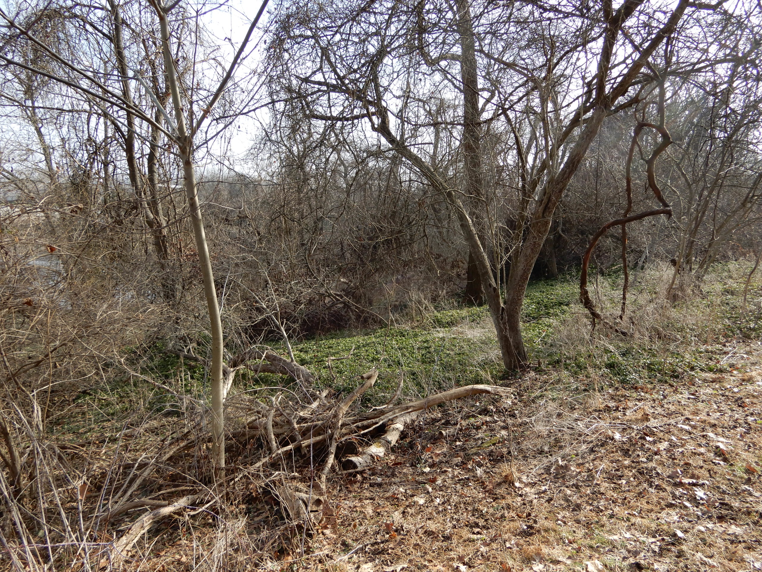
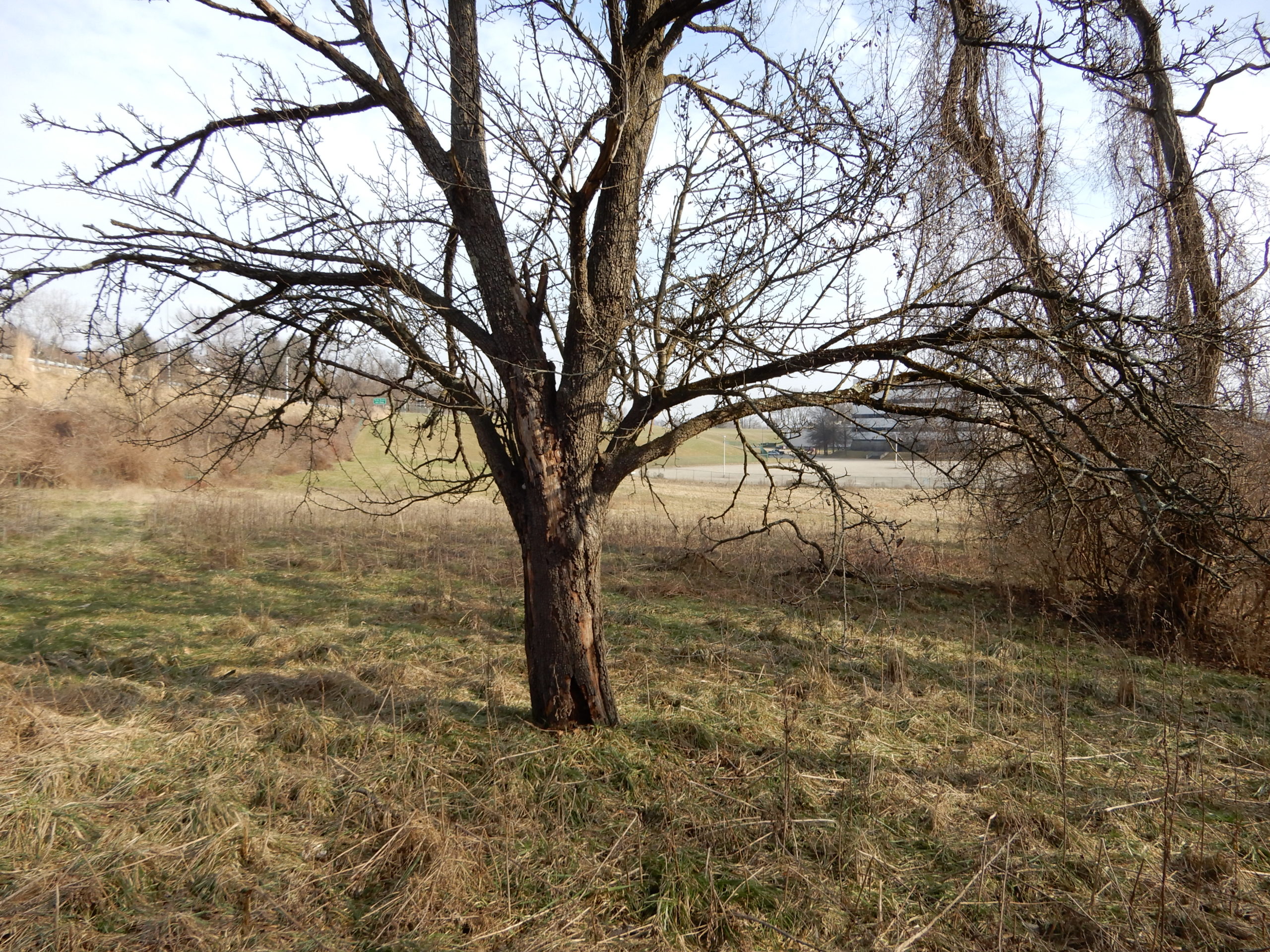
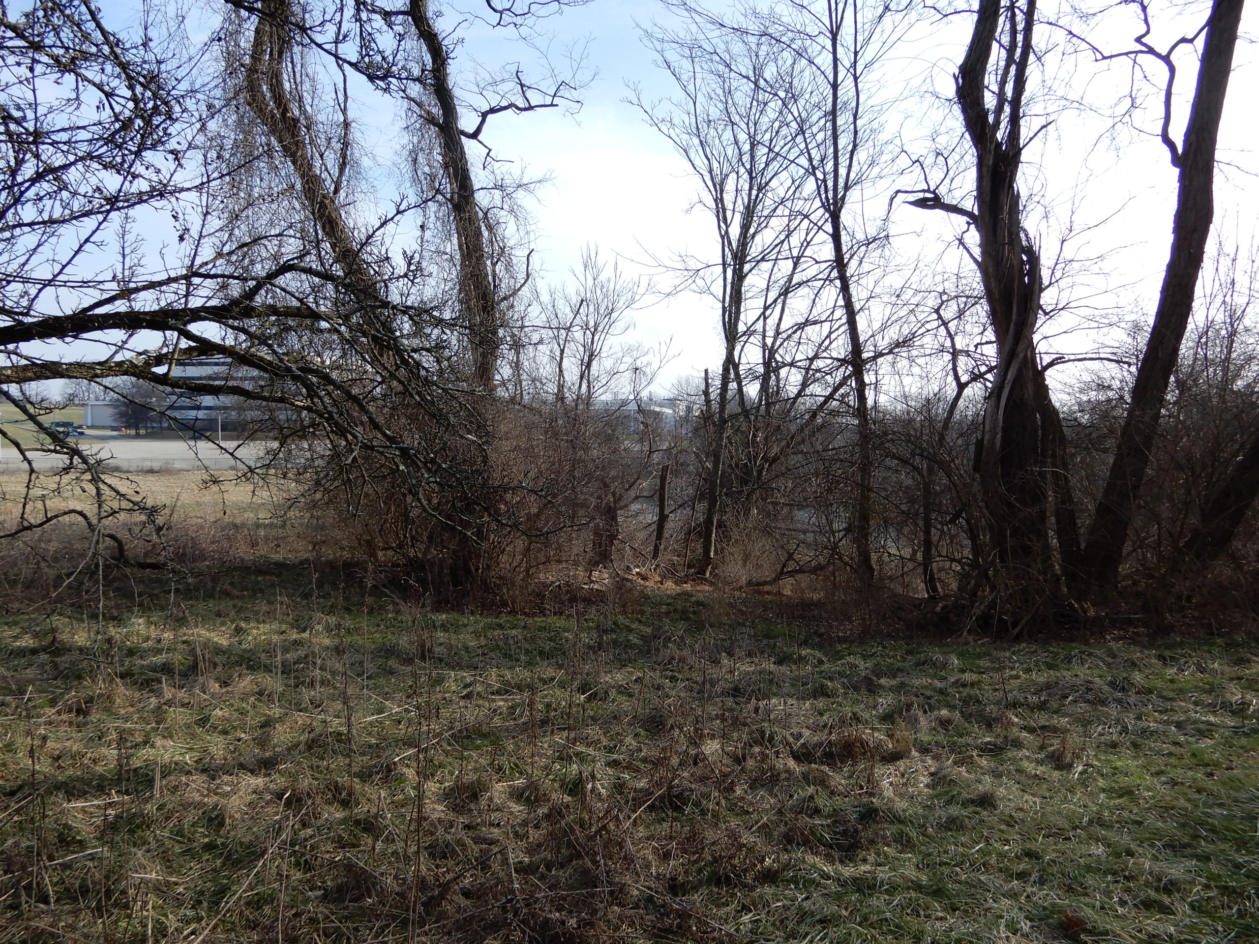
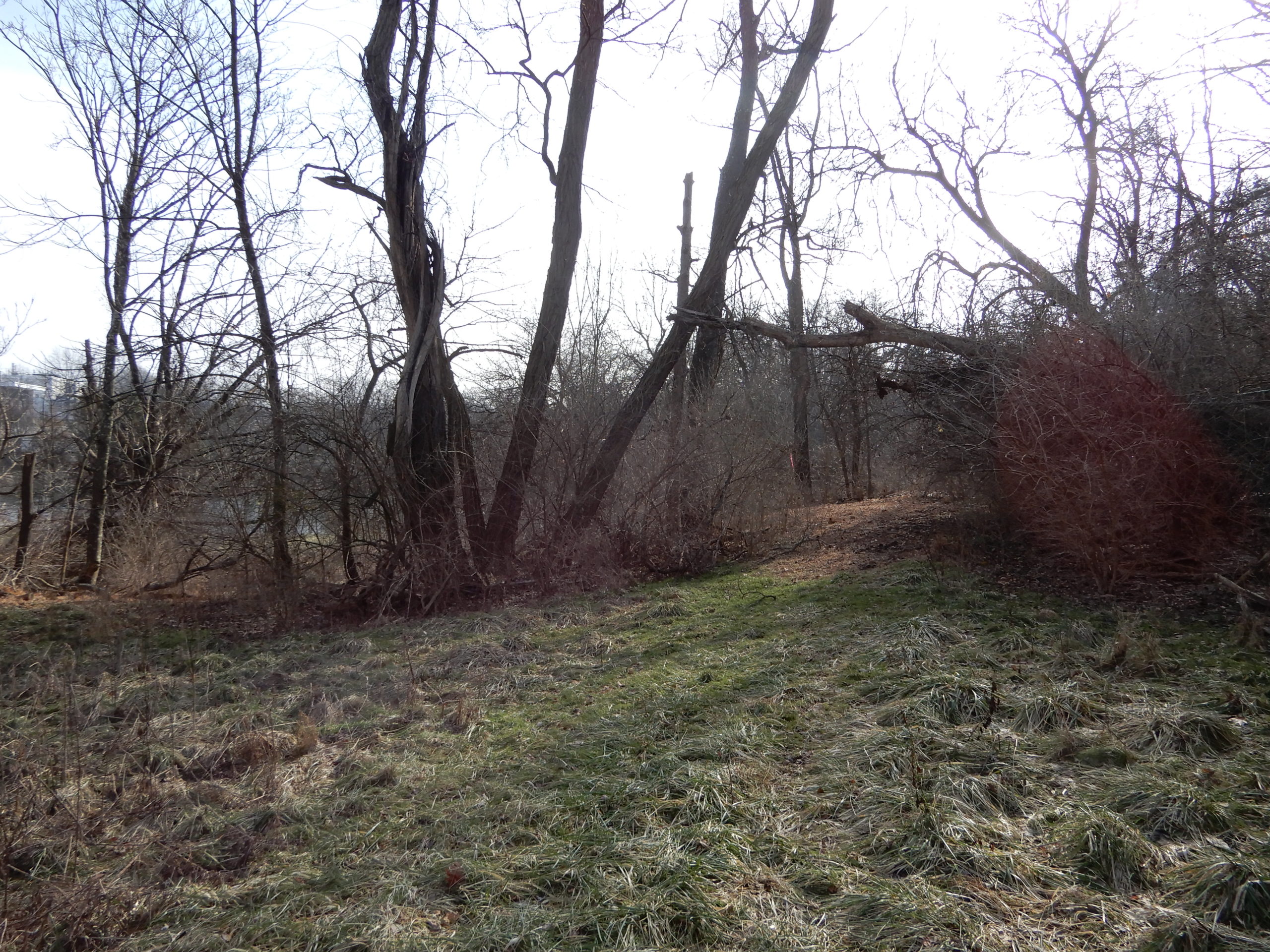
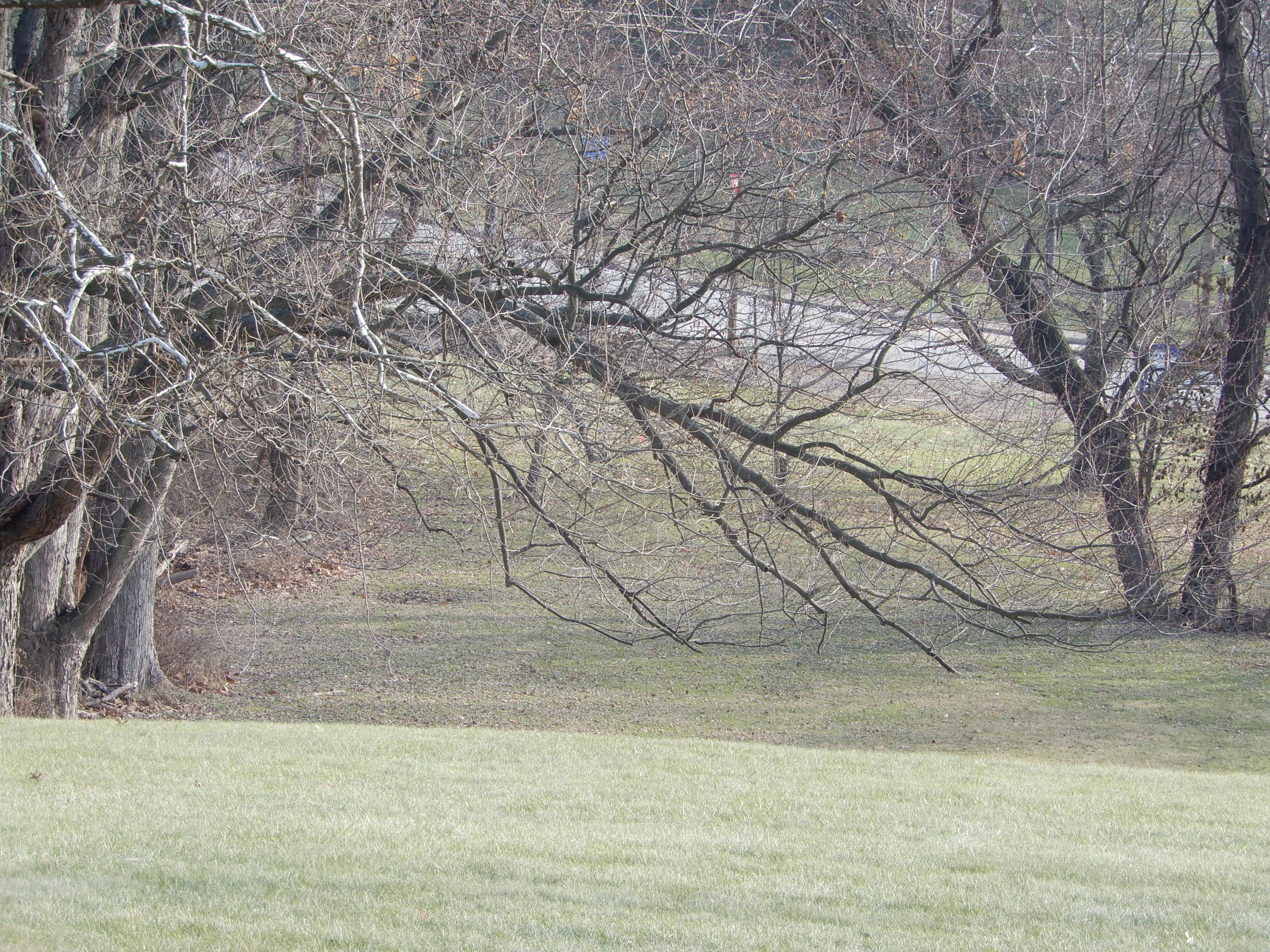
NORTHERN WATERSHED


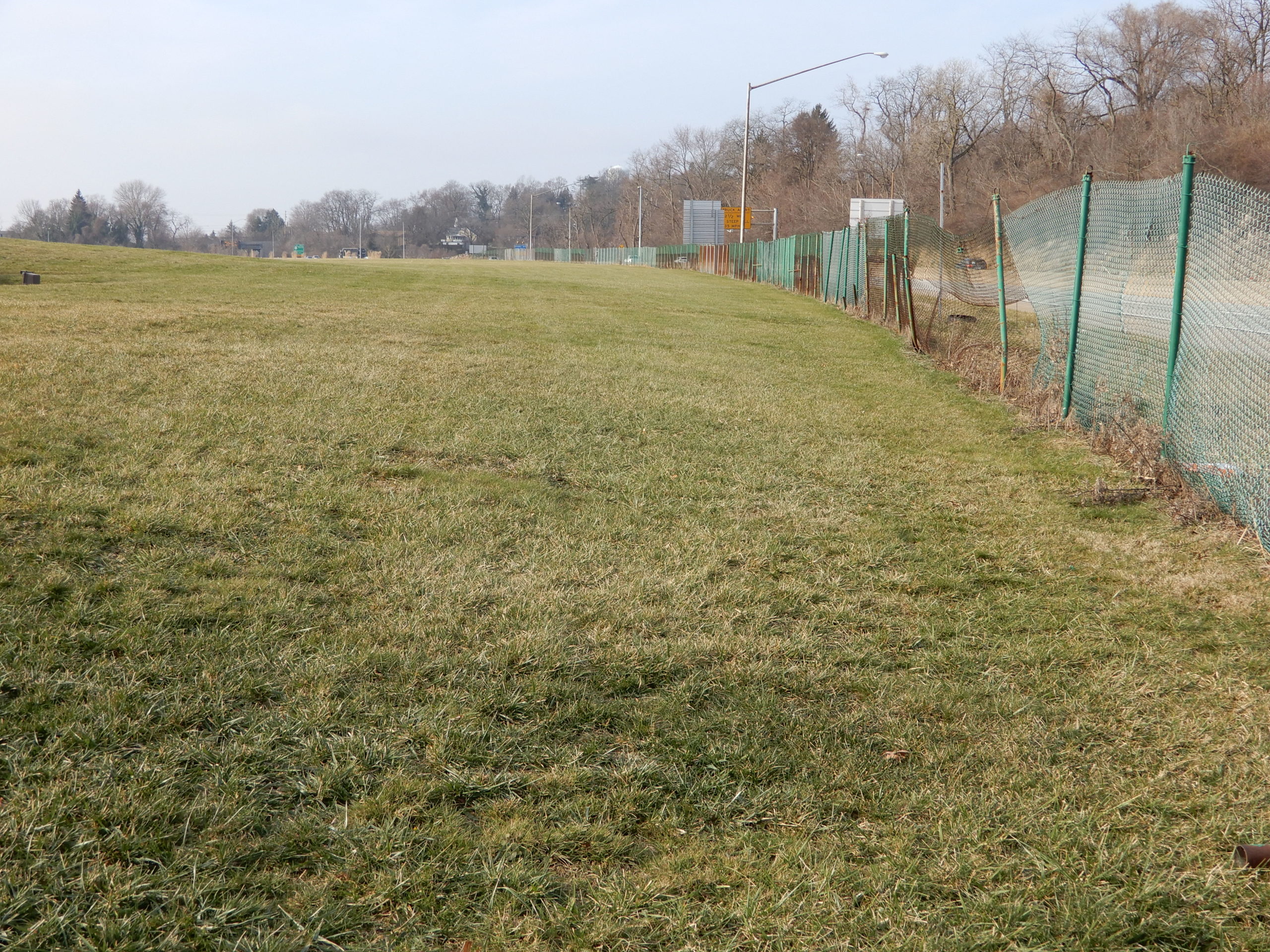
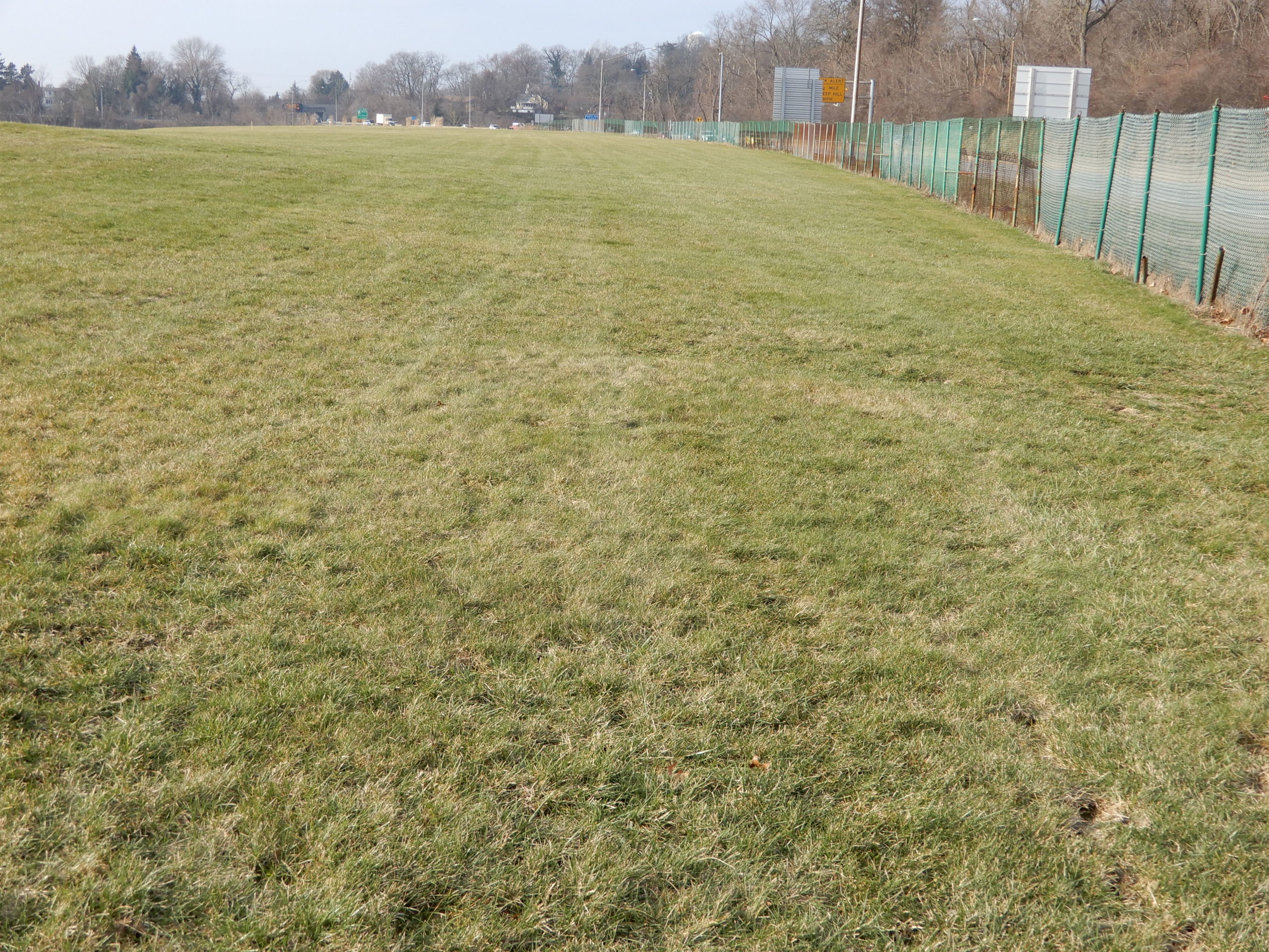
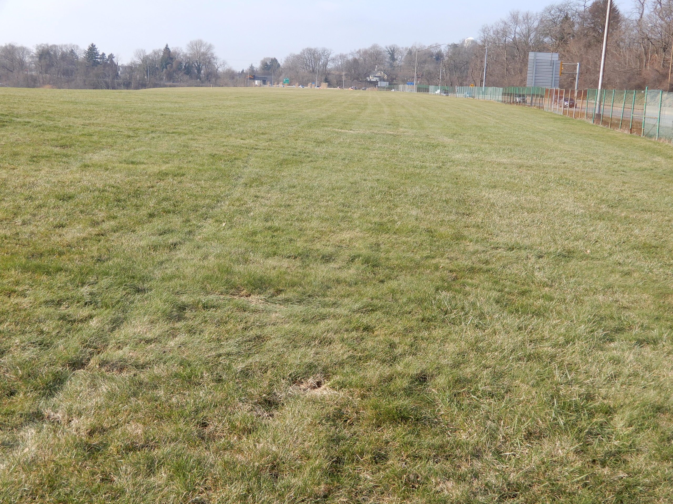


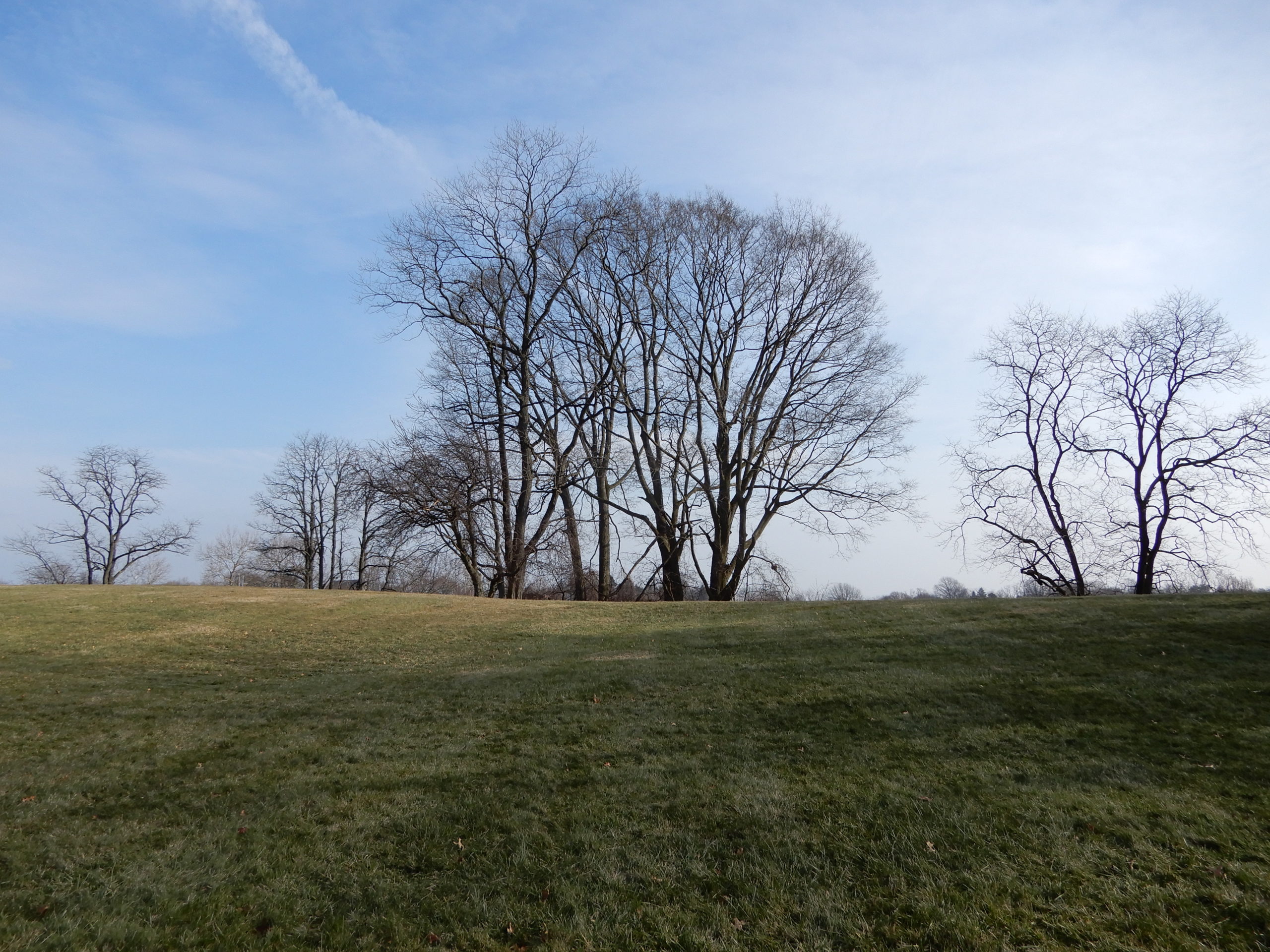


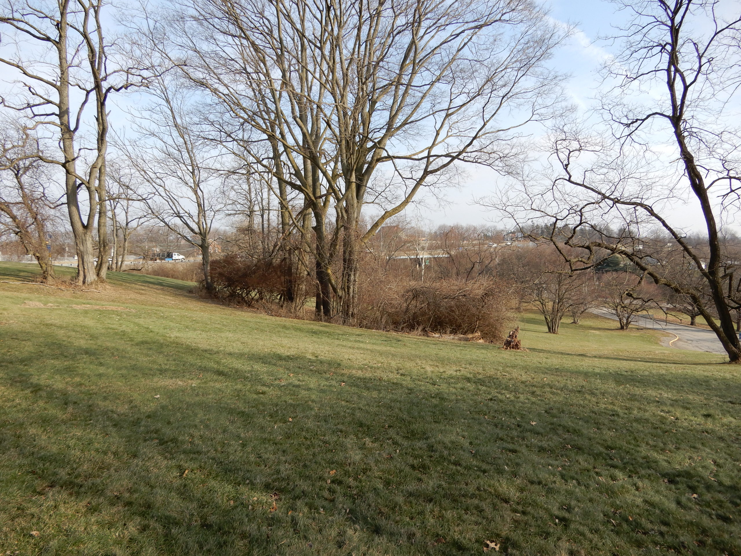


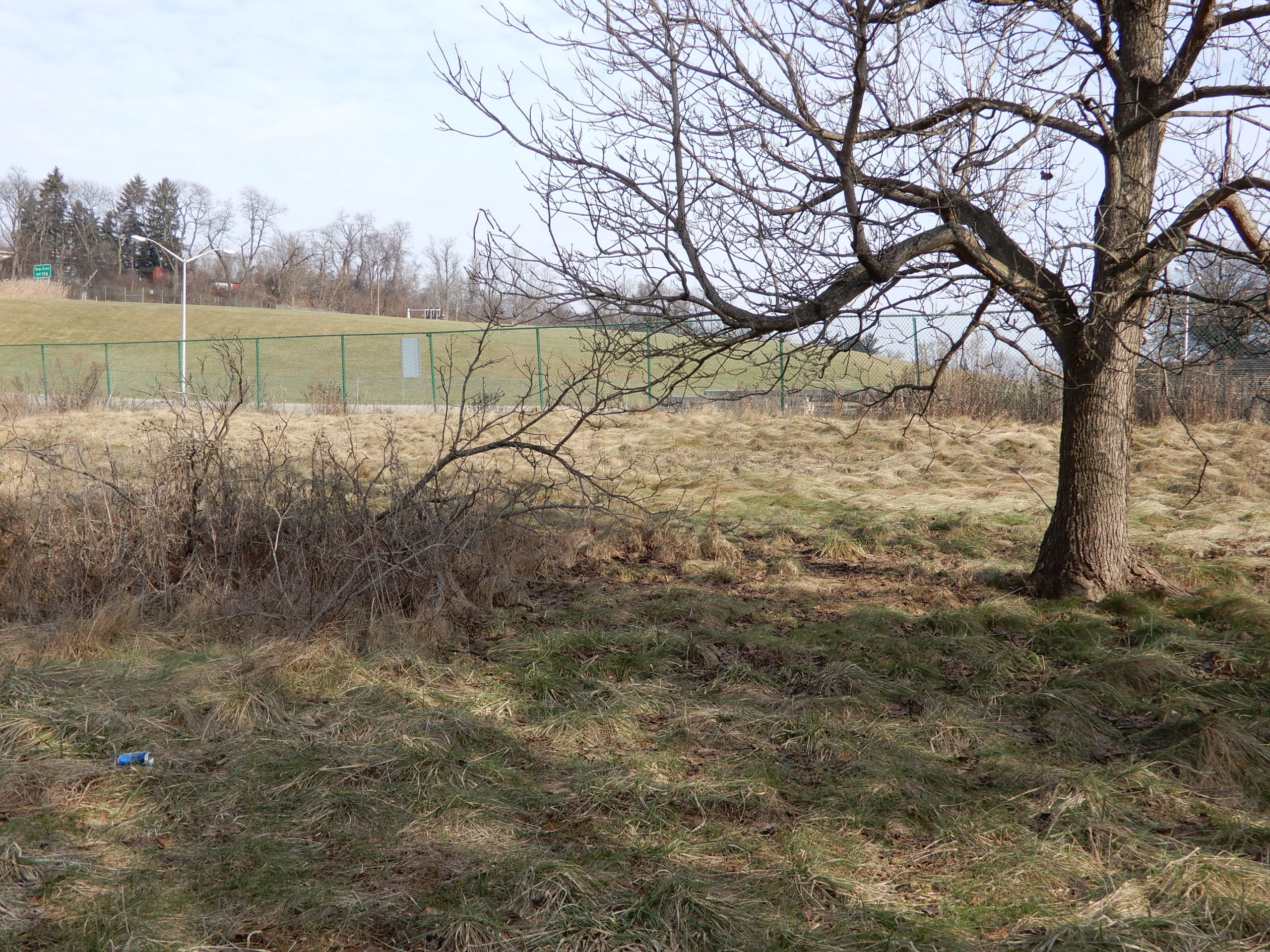
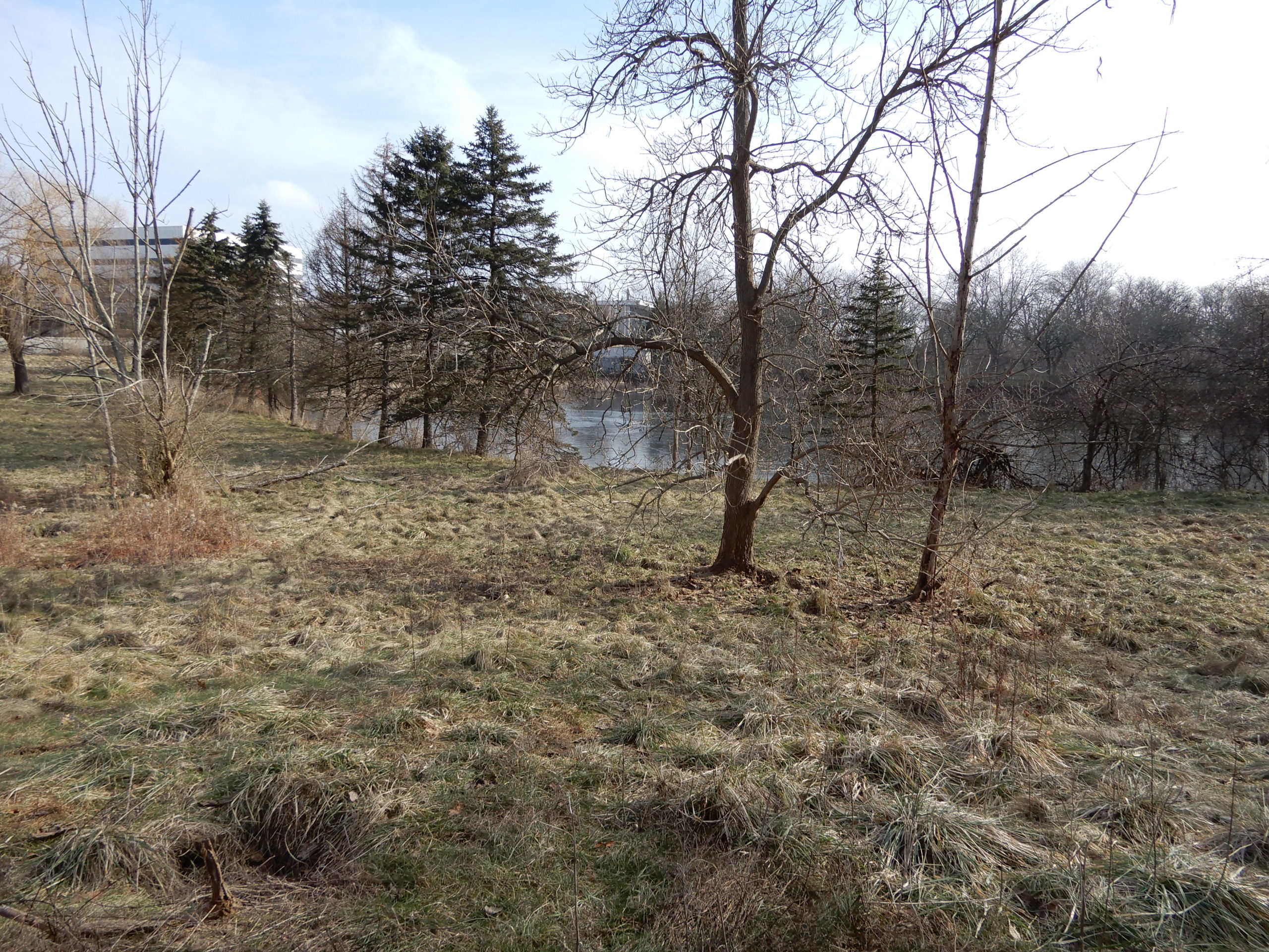
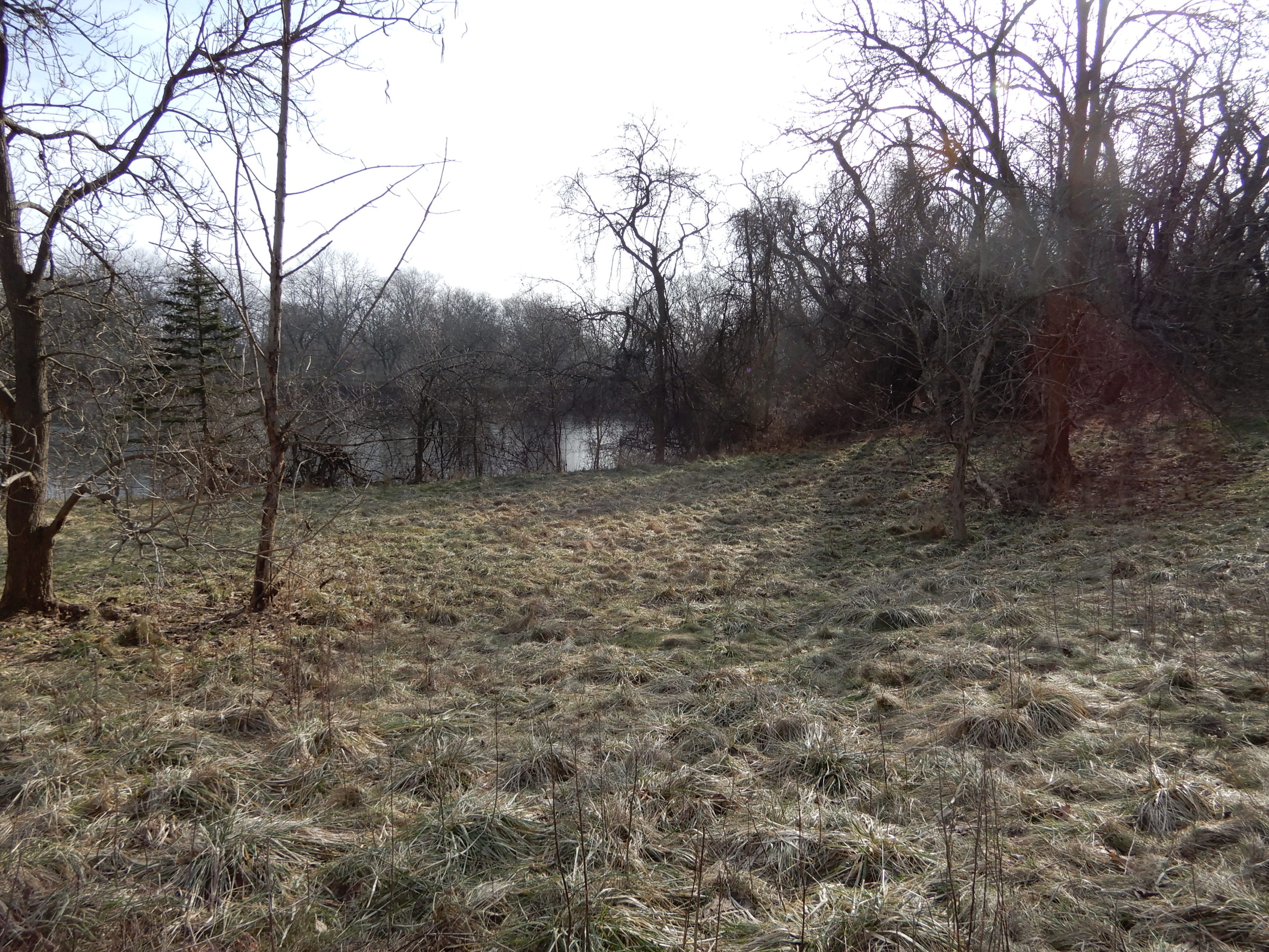
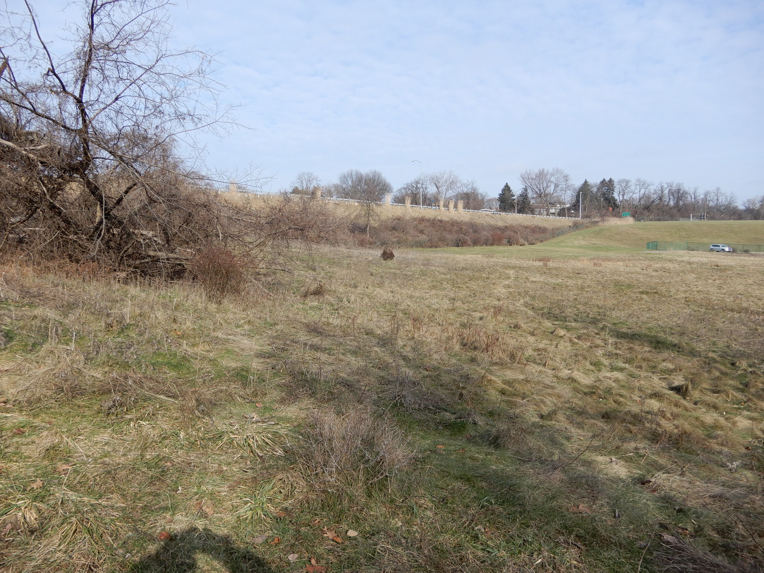
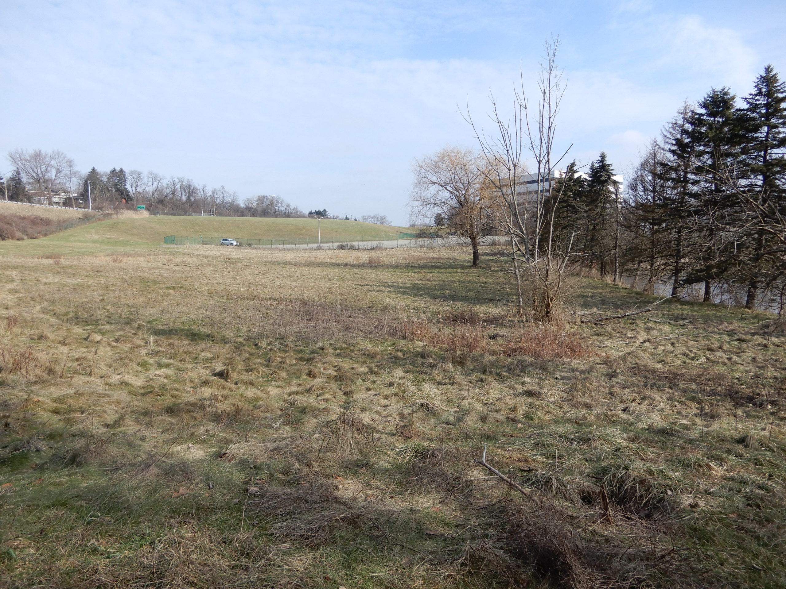
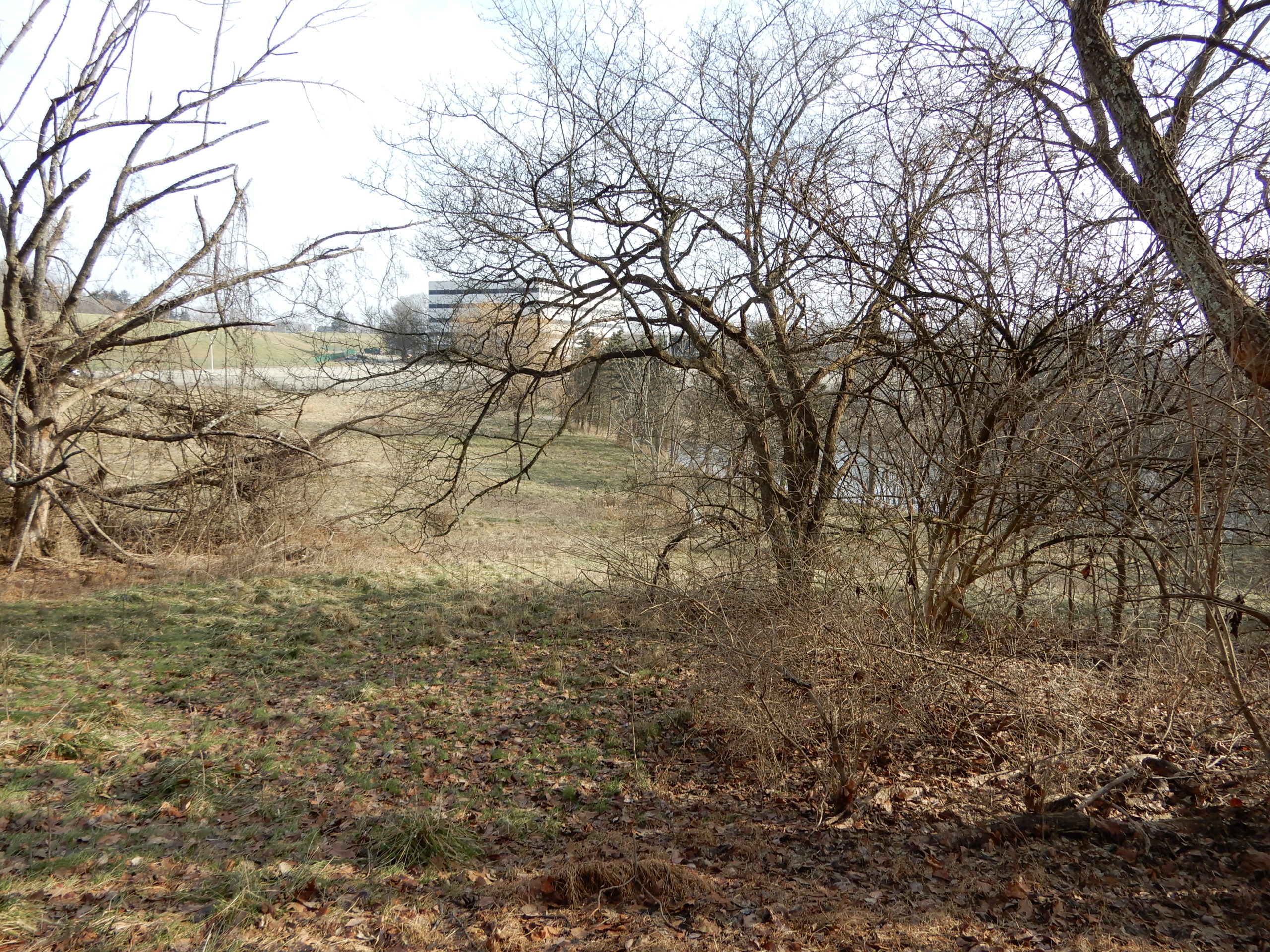
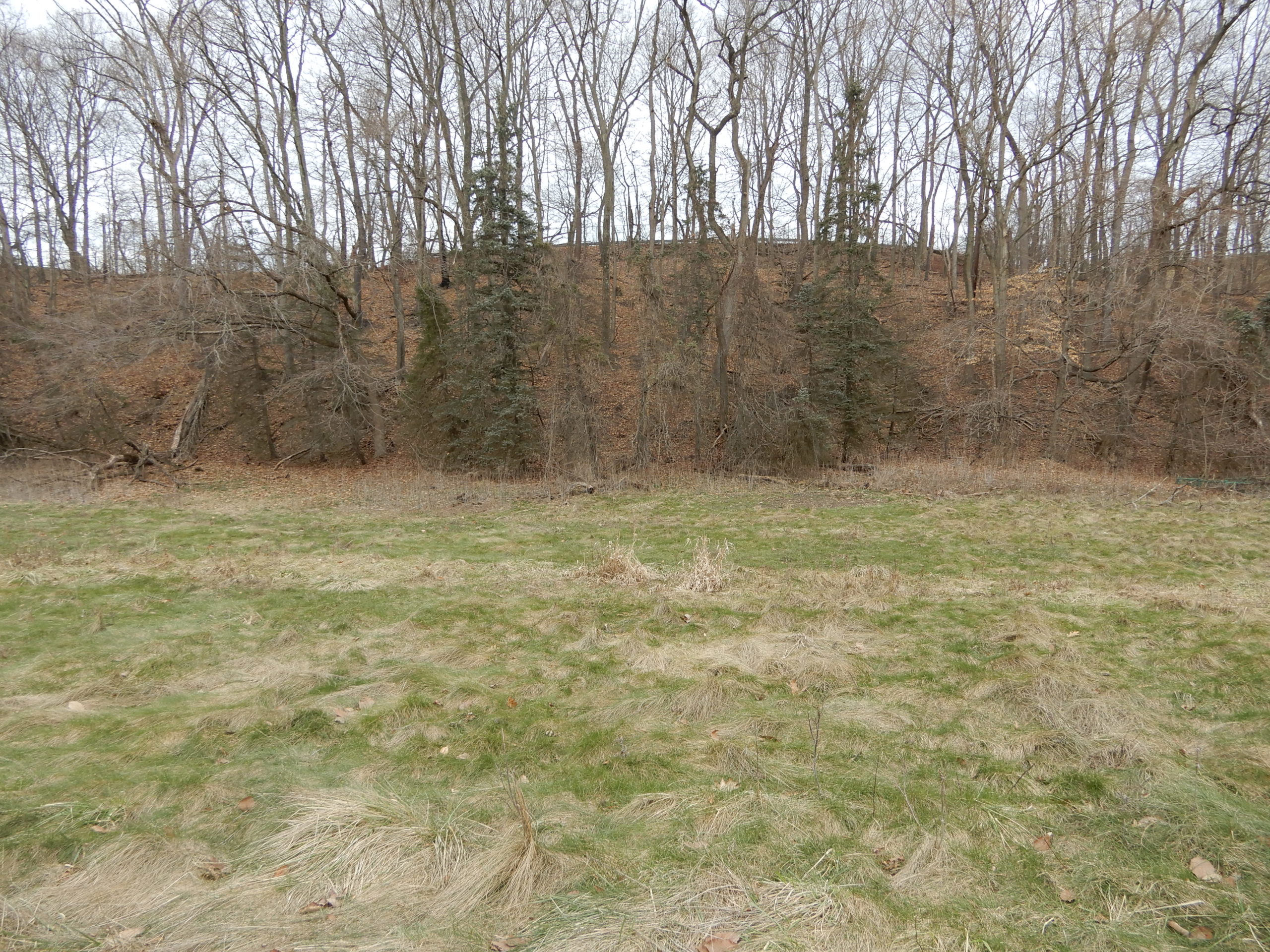
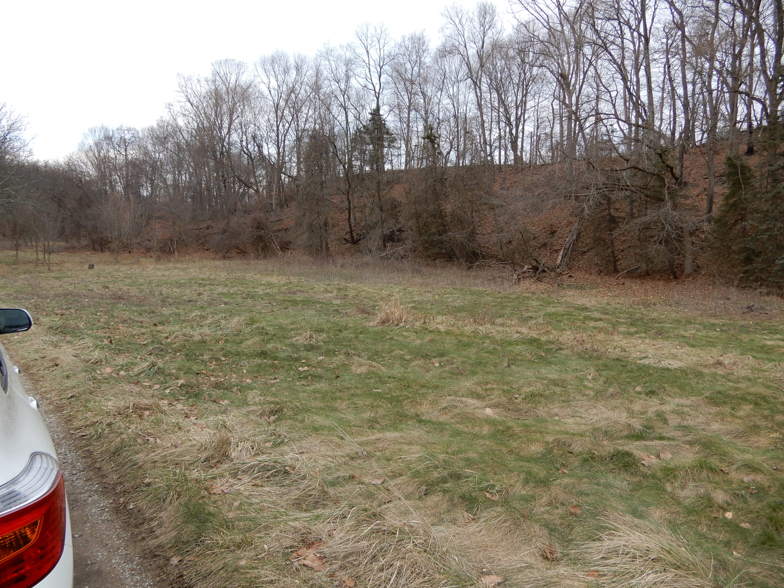
SOUTHERN WATERSHED


BEULAH ROAD